1500-1599
Map title
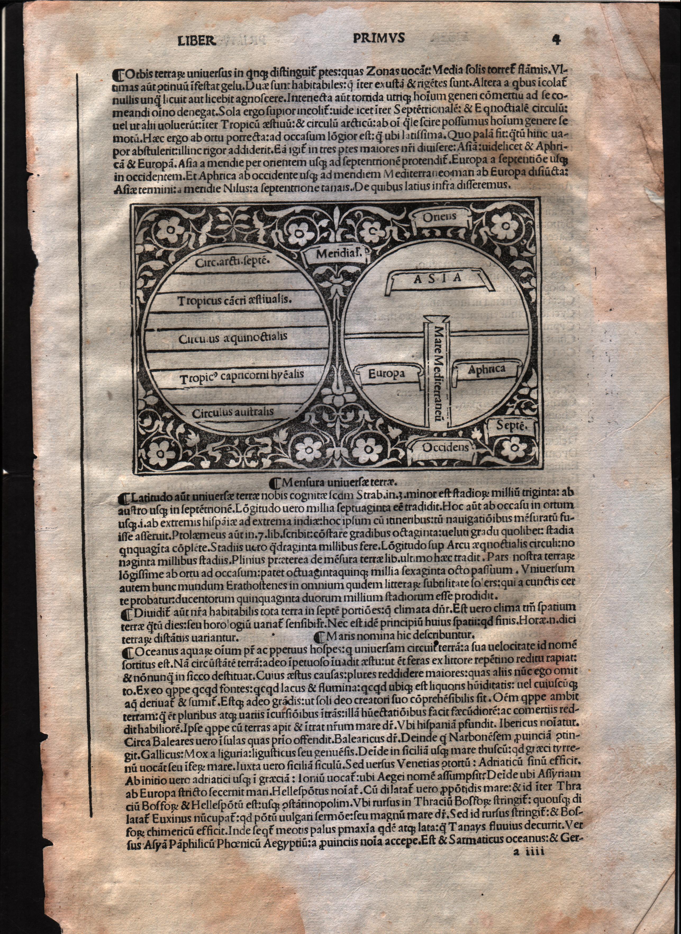
Mensura universae terrae
Author
Foresti
Location shown in map
World
Edition date
Circa 1503
Edition place
Venice
Editor
Georgii de Rusconibus
Atlas
Supplementum supplementi cronicarum
Price
3000 Euro
State
[MINT/excellent/very good/good/fair/mediocre/poor]
Color
Black/white
Verso
Latin text
Size
Plate: cm (14 x 8.9) inches (5.51 x 3.5) Paper: cm (21.6 x 30.5) inches (8.5 x 12.01)
Technique
Woodcut
Note
T-O map
Reference
--
Wiki
Here for more info
In stock
Available
Info
info@thetreasuremaps.com
Code
#0568
×
![Mensura universae terrae by Foresti, World, Circa 1503]()
Map title
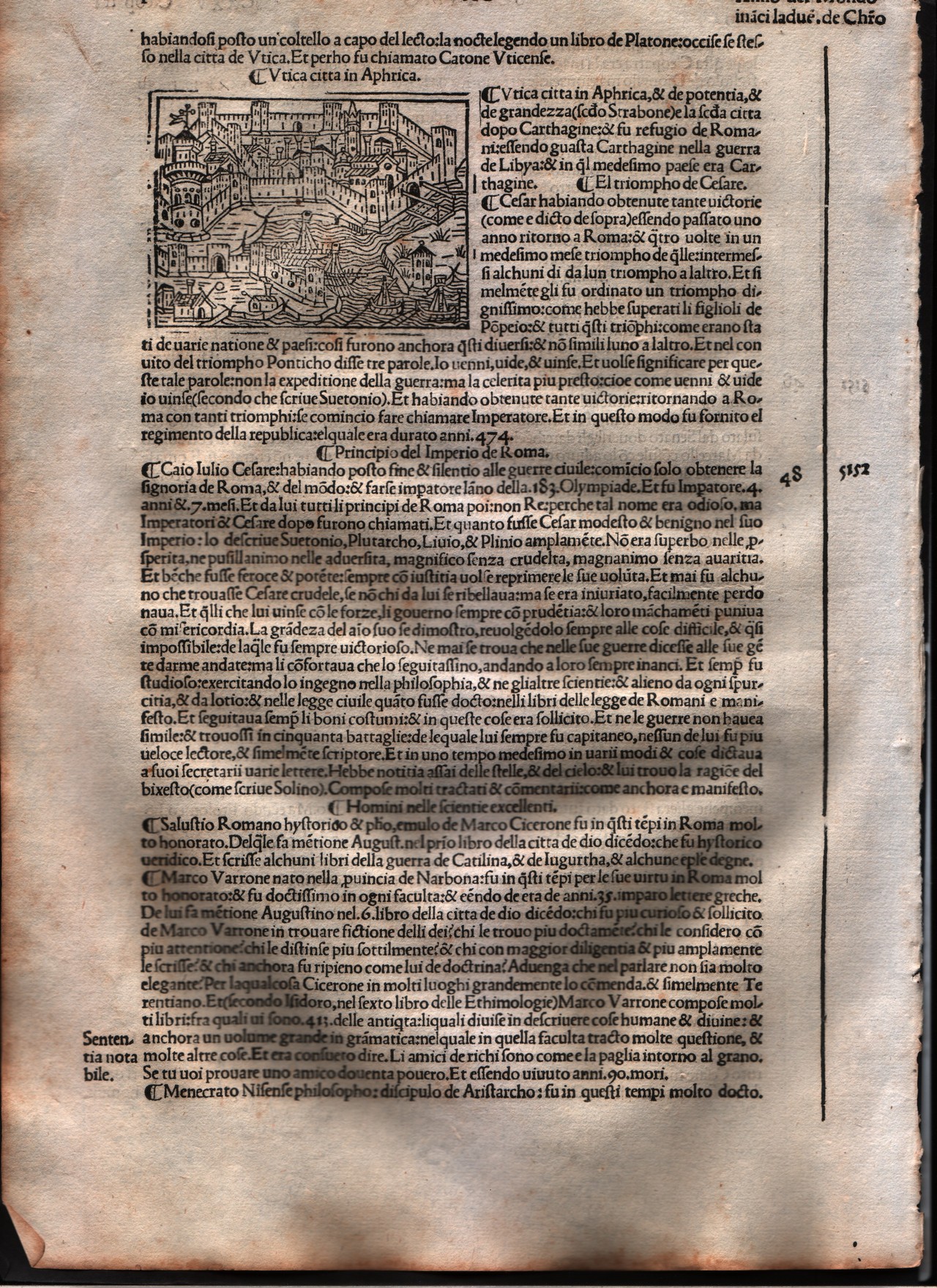
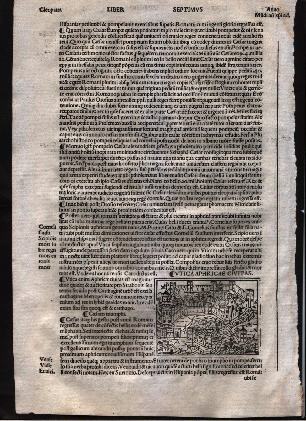
Utica
Author
Foresti
Location shown in map
City of Utica - Tunisia
Edition date
1508
Edition place
Venice
Editor
Georgii de Rusconibus
Atlas
Supplementum supplementi cronicarum
Price
Please ask: info@thetreasuremaps.com
State
[MINT/excellent/very good/good/fair/mediocre/poor]
Color
Black/white
Verso
Italian text
Size
Plate: cm (7.6 x 6.4) inches (2.99 x 2.52) Paper: cm (21.6 x 30.5) inches (8.5 x 12.01)
Technique
Woodcut
Note
No particular notes for this maps.
Reference
--
Wiki
Here for more info
In stock
Available
Info
info@thetreasuremaps.com
Code
#0002
×
![Utica by Foresti, City of Utica - Tunisia, 1508]()
Map title
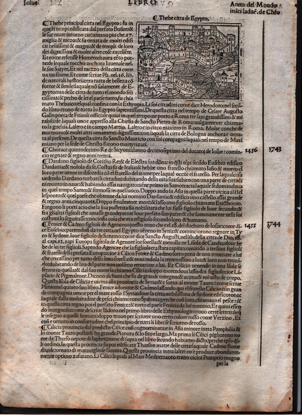
Thebe
Author
Foresti
Location shown in map
Thebes Egypt
Edition date
1508
Edition place
Venice
Editor
Georgii de Rusconibus
Atlas
Supplementum supplementi cronicarum
Price
Please ask: info@thetreasuremaps.com
State
[MINT/excellent/very good/good/fair/mediocre/poor]
Color
Black/white
Verso
Italian text
Size
Plate: cm (8.9 x 6.4) inches (3.5 x 2.52) Paper: cm (21.6 x 30.5) inches (8.5 x 12.01)
Technique
Woodcut
Note
No particular notes for this maps.
Reference
--
Wiki
Here for more info
In stock
Available
Info
info@thetreasuremaps.com
Code
#0516
×
![Thebe by Foresti, Thebes Egypt, 1508]()

Map title
Roma
Author
Foresti
Location shown in map
Rome
Edition date
1508
Edition place
Venice
Editor
Georgii de Rusconibus
Atlas
Supplementum supplementi cronicarum
Price
Please ask: info@thetreasuremaps.com
State
[MINT/excellent/very good/good/fair/mediocre/poor]
Color
Black/white
Verso
Italian text
Size
Plate: cm (14 x 11.4) inches (5.51 x 4.49) Paper: cm (21.6 x 30.5) inches (8.5 x 12.01)
Technique
Woodcut
Note
No particular notes for this maps.
Reference
--
Wiki
Here for more info
In stock
Sold
Info
info@thetreasuremaps.com
Code
#0015
×
![Roma by Foresti, Rome, 1508]()
Map title
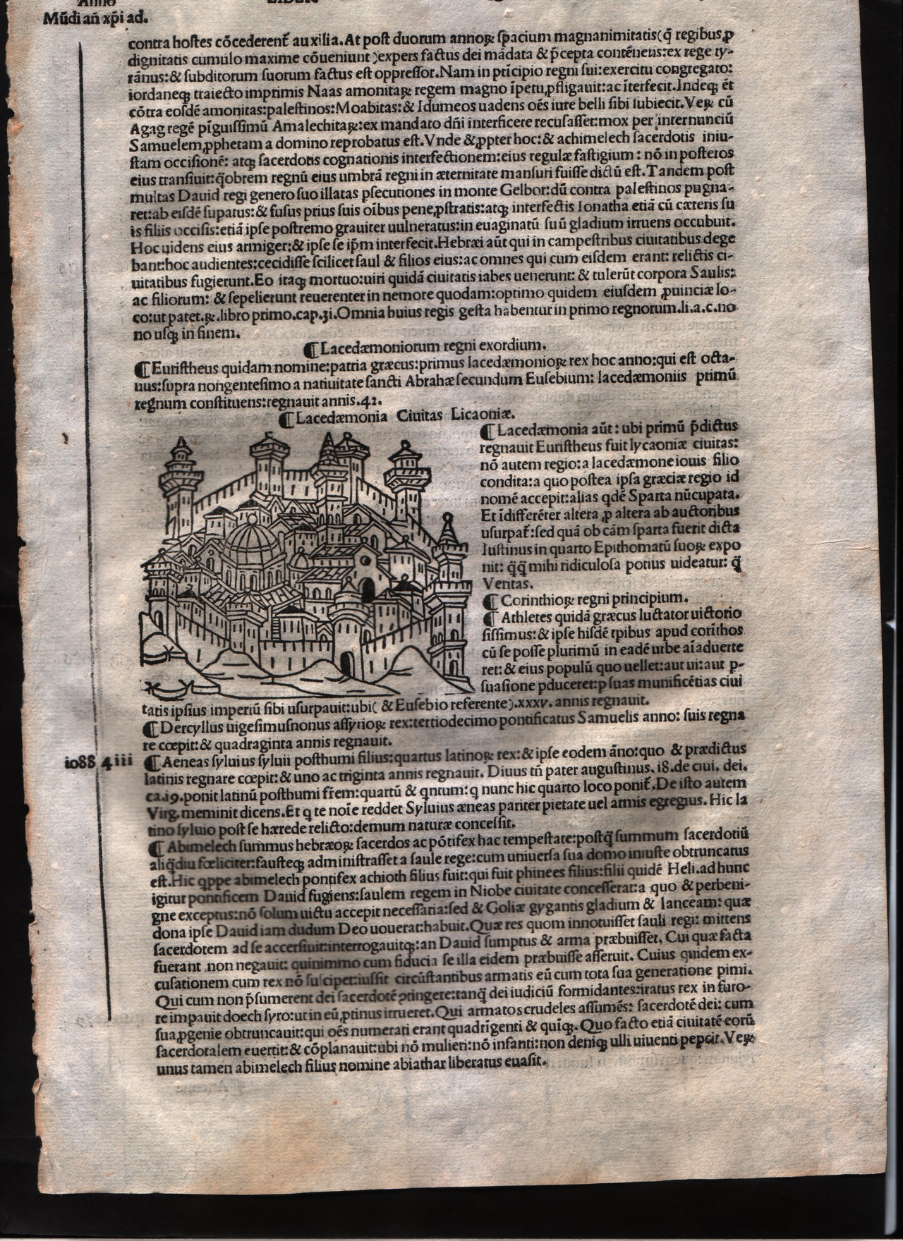
Lacedemonia
Author
Foresti
Location shown in map
City of Sparta
Edition date
1508
Edition place
Venice
Editor
Georgii de Rusconibus
Atlas
Supplementum supplementi cronicarum
Price
Please ask: info@thetreasuremaps.com
State
[MINT/excellent/very good/good/fair/mediocre/poor]
Color
Black/white
Verso
Latin text
Size
Plate: cm (7.6 x 6.4) inches (2.99 x 2.52) Paper: cm (20.3 x 30.5) inches (7.99 x 12.01)
Technique
Woodcut
Note
No particular notes for this maps.
Reference
--
Wiki
Here for more info
In stock
Available
Info
info@thetreasuremaps.com
Code
#0014
×
![Lacedemonia by Foresti, City of Sparta, 1508]()
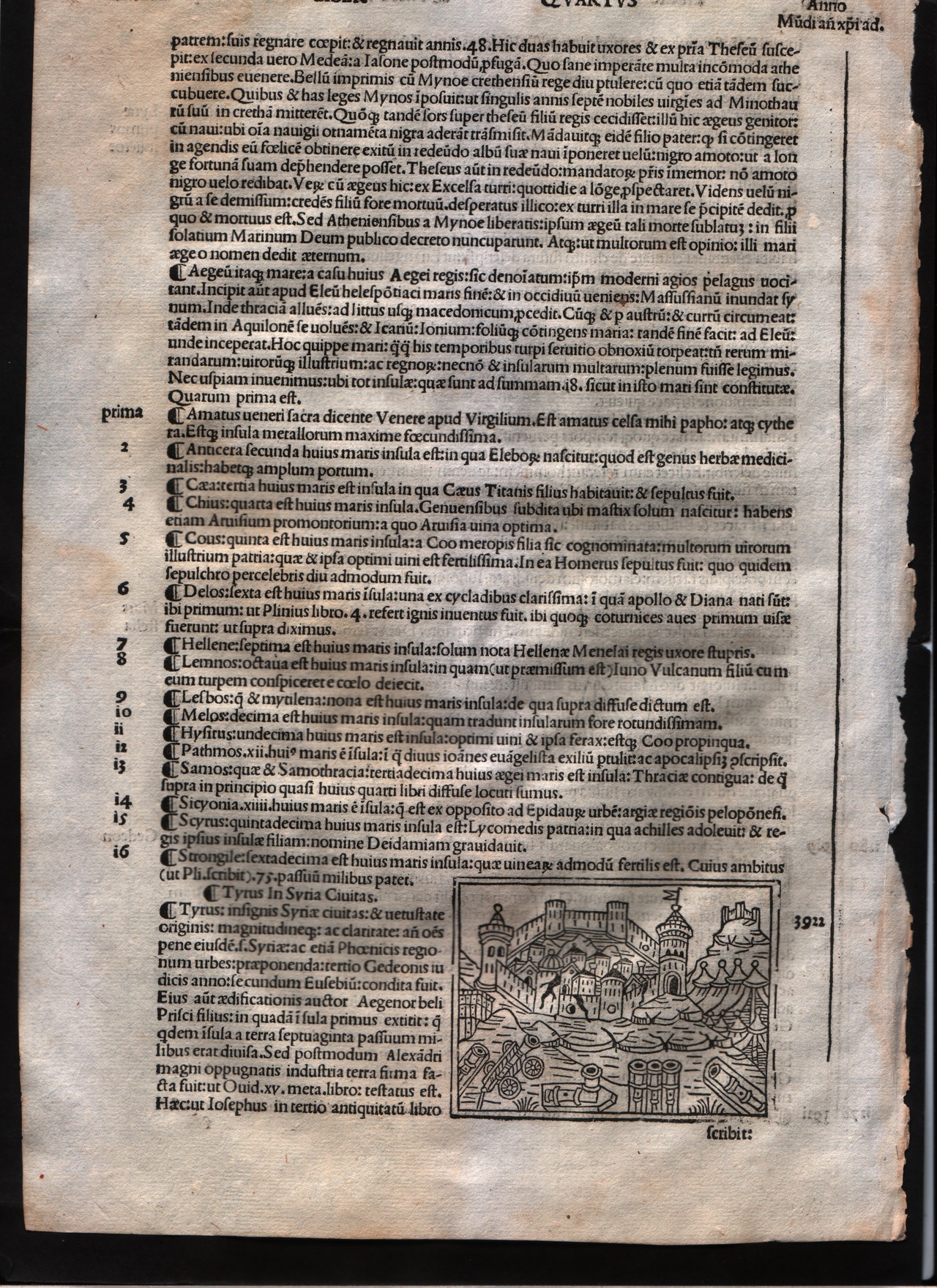
Map title
Tyre
Author
Foresti
Location shown in map
City of Tyre - Lebanon
Edition date
1508
Edition place
Venice
Editor
Georgii de Rusconibus
Atlas
Supplementum supplementi cronicarum
Price
Please ask: info@thetreasuremaps.com
State
[MINT/excellent/very good/good/fair/mediocre/poor]
Color
Black/white
Verso
Latin text
Size
Plate: cm (7.6 x 6.4) inches (2.99 x 2.52) Paper: cm (20.3 x 30.5) inches (7.99 x 12.01)
Technique
Woodcut
Note
No particular notes for this maps.
Reference
--
Wiki
Here for more info
In stock
Available
Info
info@thetreasuremaps.com
Code
#0013
×
![Tyre by Foresti, City of Tyre - Lebanon, 1508]()
Map title
Utica
Author
Foresti
Location shown in map
City of Utica
Edition date
1508
Edition place
Venice
Editor
Georgii de Rusconibus
Atlas
Supplementum supplementi cronicarum
Price
Please ask: info@thetreasuremaps.com
State
[MINT/excellent/very good/good/fair/mediocre/poor]
Color
Black/white
Verso
Latin text
Size
Plate: cm (7.6 x 6.4) inches (2.99 x 2.52) Paper: cm (20.3 x 30.5) inches (7.99 x 12.01)
Technique
Woodcut
Note
No particular notes for this maps.
Reference
--
Wiki
Here for more info
In stock
Available
Info
info@thetreasuremaps.com
Code
#0012
×
![Utica by Foresti, City of Utica, 1508]()
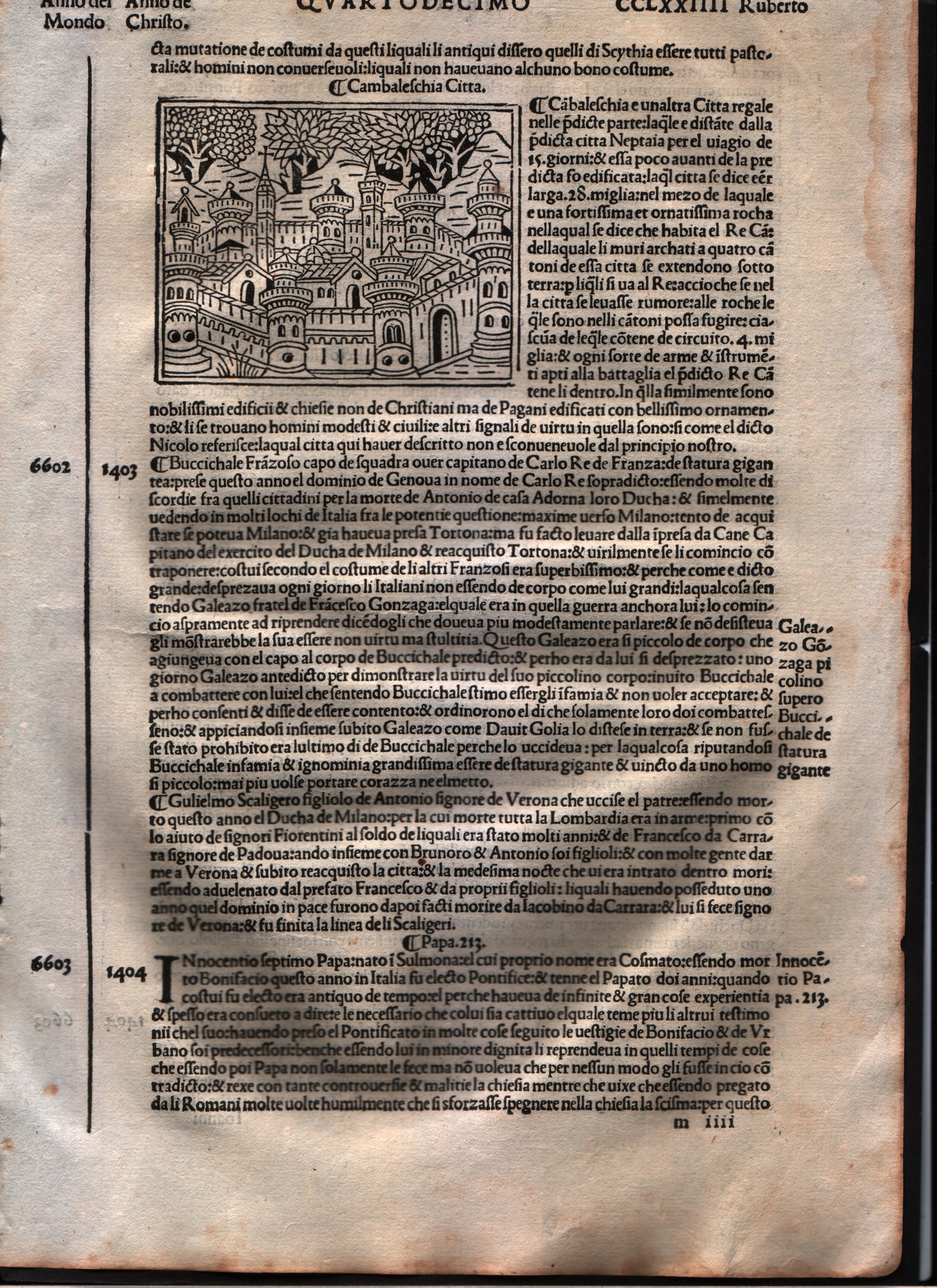
Map title
Cambaleschia
Author
Foresti
Location shown in map
City of Beijing
Edition date
1508
Edition place
Venice
Editor
Georgii de Rusconibus
Atlas
Supplementum supplementi cronicarum
Price
Please ask: info@thetreasuremaps.com
State
[MINT/excellent/very good/good/fair/mediocre/poor]
Color
Black/white
Verso
Italian text
Size
Plate: cm (8.9 x 6.4) inches (3.5 x 2.52) Paper: cm (21.6 x 30.5) inches (8.5 x 12.01)
Technique
Woodcut
Note
No particular notes for this maps.
Reference
--
Wiki
Here for more info
In stock
Available
Info
info@thetreasuremaps.com
Code
#0011
×
![Cambaleschia by Foresti, City of Beijing, 1508]()
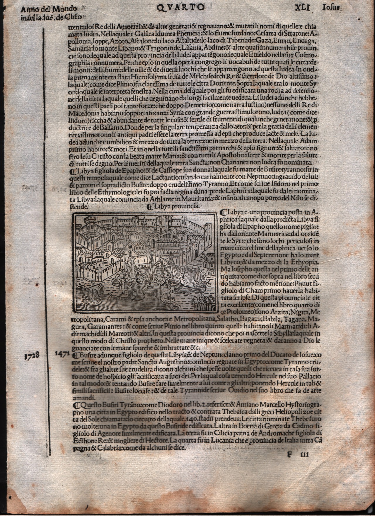
Map title
Lybia
Author
Foresti
Location shown in map
Lybia
Edition date
1508
Edition place
Venice
Editor
Georgii de Rusconibus
Atlas
Supplementum supplementi cronicarum
Price
Please ask: info@thetreasuremaps.com
State
[MINT/excellent/very good/good/fair/mediocre/poor]
Color
Black/white
Verso
Italian text
Size
Plate: cm (8.9 x 6.4) inches (3.5 x 2.52) Paper: cm (21.6 x 30.5) inches (8.5 x 12.01)
Technique
Woodcut
Note
No particular notes for this maps.
Reference
--
Wiki
Here for more info
In stock
Available
Info
info@thetreasuremaps.com
Code
#0010
Lybia
Author
Foresti
Location shown in map
Lybia
Edition date
1508
Edition place
Venice
Editor
Georgii de Rusconibus
Atlas
Supplementum supplementi cronicarum
Price
Please ask: info@thetreasuremaps.com
State
[MINT/excellent/very good/good/fair/mediocre/poor]
Color
Black/white
Verso
Italian text
Size
Plate: cm (8.9 x 6.4) inches (3.5 x 2.52) Paper: cm (21.6 x 30.5) inches (8.5 x 12.01)
Technique
Woodcut
Note
No particular notes for this maps.
Reference
--
Wiki
Here for more info
In stock
Available
Info
info@thetreasuremaps.com
Code
#0010
×
![Lybia by Foresti, Lybia, 1508]()
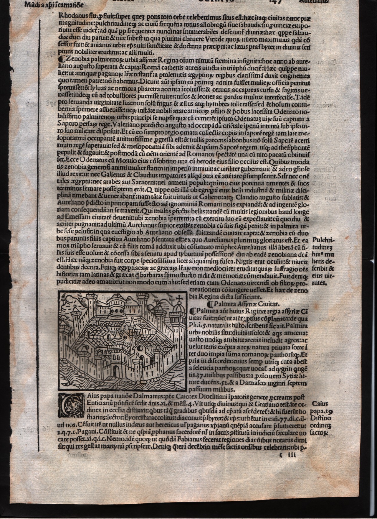
Map title
Palmiria
Author
Foresti
Location shown in map
City of Tadmor - Syria
Edition date
1508
Edition place
Venice
Editor
Georgii de Rusconibus
Atlas
Supplementum supplementi cronicarum
Price
Please ask: info@thetreasuremaps.com
State
[MINT/excellent/very good/good/fair/mediocre/poor]
Color
Black/white
Verso
Latin text
Size
Plate: cm (7.6 x 6.4) inches (2.99 x 2.52) Paper: cm (20.3 x 29.2) inches (7.99 x 11.5)
Technique
Woodcut
Note
No particular notes for this maps.
Reference
--
Wiki
Here for more info
In stock
Available
Info
info@thetreasuremaps.com
Code
#0008
×
![Palmiria by Foresti, City of Tadmor - Syria, 1508]()
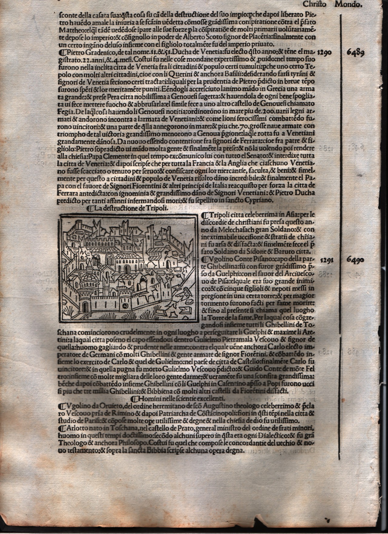
Map title
Tripoli
Author
Foresti
Location shown in map
City of Tripoli - Libya
Edition date
1508
Edition place
Venice
Editor
Georgii de Rusconibus
Atlas
Supplementum supplementi cronicarum
Price
Please ask: info@thetreasuremaps.com
State
[MINT/excellent/very good/good/fair/mediocre/poor]
Color
Black/white
Verso
Italian text
Size
Plate: cm (7.6 x 6.4) inches (2.99 x 2.52) Paper: cm (21.6 x 30.5) inches (8.5 x 12.01)
Technique
Woodcut
Note
No particular notes for this maps.
Reference
--
Wiki
Here for more info
In stock
Available
Info
info@thetreasuremaps.com
Code
#0003
×
![Tripoli by Foresti, City of Tripoli - Libya, 1508]()
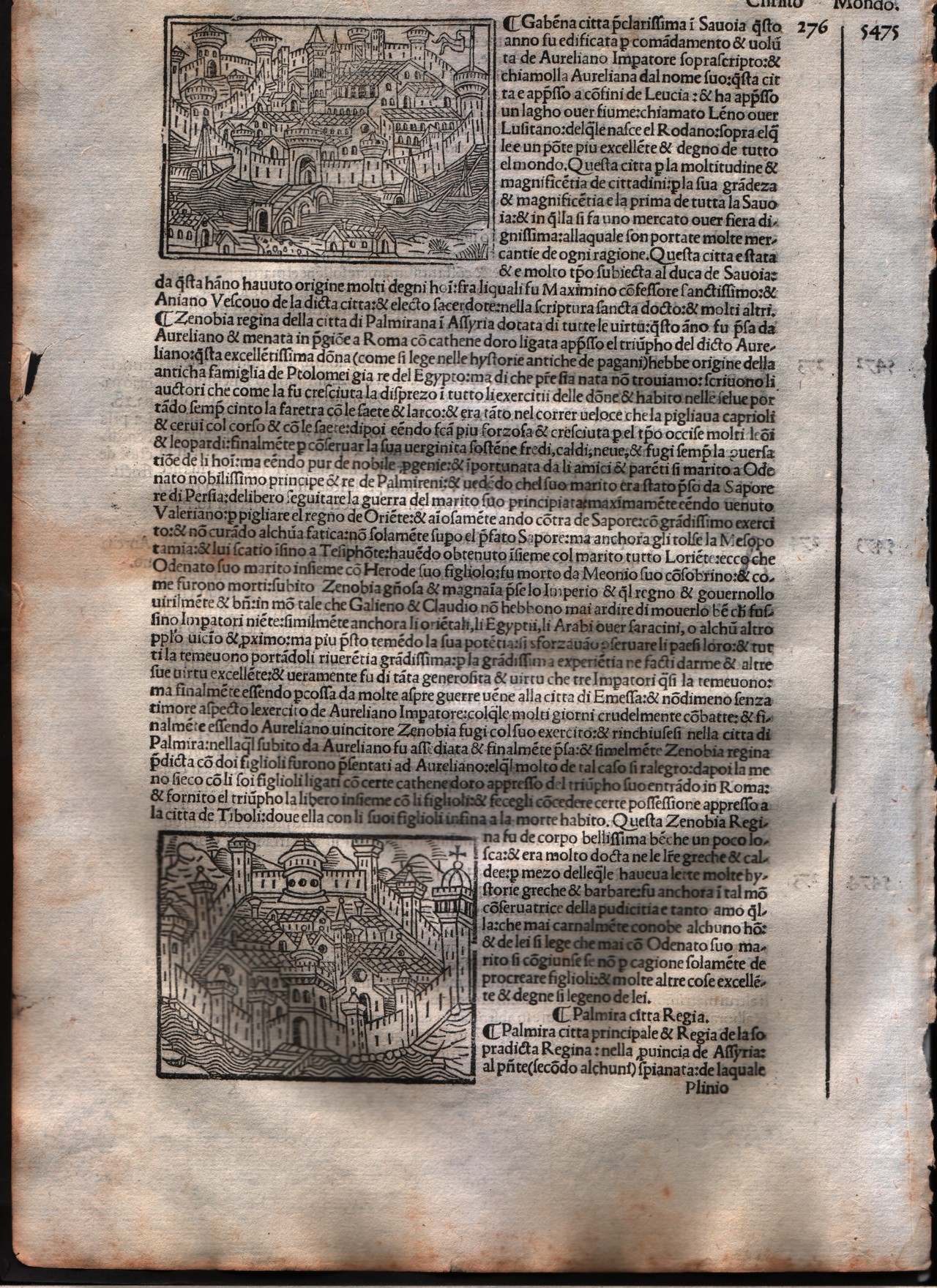
Map title
Palmiria & Gabena
Author
Foresti
Location shown in map
City of Palmiria - Syria
Edition date
1508
Edition place
Venice
Editor
Georgii de Rusconibus
Atlas
Supplementum supplementi cronicarum
Price
Please ask: info@thetreasuremaps.com
State
[MINT/excellent/very good/good/fair/mediocre/poor]
Color
Black/white
Verso
Italian text
Size
Plate: cm (7.6 x 6.4) inches (2.99 x 2.52) Paper: cm (20.3 x 30.5) inches (7.99 x 12.01)
Technique
Woodcut
Note
No particular notes for this maps.
Reference
--
Wiki
Here for more info
In stock
Available
Info
info@thetreasuremaps.com
Code
#0009
×
![Palmiria & Gabena by Foresti, City of Palmiria - Syria, 1508]()
Map title
Tyre
Author
Foresti
Location shown in map
City of Tirone - Lebanon
Edition date
1508
Edition place
Venice
Editor
Georgii de Rusconibus
Atlas
Supplementum supplementi cronicarum
Price
Please ask: info@thetreasuremaps.com
State
[MINT/excellent/very good/good/fair/mediocre/poor]
Color
Black/white
Verso
Italian text
Size
Plate: cm (7.6 x 6.4) inches (2.99 x 2.52) Paper: cm (21.6 x 30.5) inches (8.5 x 12.01)
Technique
Woodcut
Note
No particular notes for this maps.
Reference
--
Wiki
Here for more info
In stock
Available
Info
info@thetreasuremaps.com
Code
#0004
×
![Tyre by Foresti, City of Tirone - Lebanon, 1508]()
Map title
Milan
Author
Foresti
Location shown in map
Milan
Edition date
1508
Edition place
Venice
Editor
Georgii de Rusconibus
Atlas
Supplementum supplementi cronicarum
Price
400 Euro
State
[MINT/excellent/very good/good/fair/mediocre/poor]
Color
Black/white
Verso
Italian text
Size
Plate: cm (8.9 x 6.4) inches (3.5 x 2.52) Paper: cm (21.6 x 30.5) inches (8.5 x 12.01)
Technique
Woodcut
Note
No particular notes for this maps.
Reference
--
Wiki
Here for more info
In stock
Available
Info
info@thetreasuremaps.com
Code
#0006
Milan
Author
Foresti
Location shown in map
Milan
Edition date
1508
Edition place
Venice
Editor
Georgii de Rusconibus
Atlas
Supplementum supplementi cronicarum
Price
400 Euro
State
[MINT/excellent/very good/good/fair/mediocre/poor]
Color
Black/white
Verso
Italian text
Size
Plate: cm (8.9 x 6.4) inches (3.5 x 2.52) Paper: cm (21.6 x 30.5) inches (8.5 x 12.01)
Technique
Woodcut
Note
No particular notes for this maps.
Reference
--
Wiki
Here for more info
In stock
Available
Info
info@thetreasuremaps.com
Code
#0006
×
![Milan by Foresti, Milan, 1508]()
Map title
Antiochia
Author
Foresti
Location shown in map
City of Antakya - Turkey
Edition date
1508
Edition place
Venice
Editor
Georgii de Rusconibus
Atlas
Supplementum supplementi cronicarum
Price
Please ask: info@thetreasuremaps.com
State
[MINT/excellent/very good/good/fair/mediocre/poor]
Color
Black/white
Verso
Italian text
Size
Plate: cm (8.9 x 6.4) inches (3.5 x 2.52) Paper: cm (21.6 x 30.5) inches (8.5 x 12.01)
Technique
Woodcut
Note
No particular notes for this maps.
Reference
--
Wiki
Here for more info
In stock
Available
Info
info@thetreasuremaps.com
Code
#0001
×
![Antiochia by Foresti, City of Antakya - Turkey, 1508]()
Map title
Neptaia
Author
Foresti
Location shown in map
City of Neptaia - Asia
Edition date
1508
Edition place
Venice
Editor
Georgii de Rusconibus
Atlas
Supplementum supplementi cronicarum
Price
Please ask: info@thetreasuremaps.com
State
[MINT/excellent/very good/good/fair/mediocre/poor]
Color
Black/white
Verso
Italian text
Size
Plate: cm (7.6 x 6.4) inches (2.99 x 2.52) Paper: cm (21.6 x 30.5) inches (8.5 x 12.01)
Technique
Woodcut
Note
No particular notes for this maps.
Reference
--
Wiki
Here for more info
In stock
Available
Info
info@thetreasuremaps.com
Code
#0005
×
![Neptaia by Foresti, City of Neptaia - Asia, 1508]()

Map title
Italia XIIII Nova Tabula
Author
Fries
Location shown in map
Italy
Edition date
1522
Edition place
Strasbourg
Editor
Atlas
Claudii Ptolemaei Alexandrini
Price
900 Euro
State
[mint/EXCELLENT/very good/good/fair/mediocre/poor]
Color
Black/white
Verso
Latin text pag.36
Size
Plate: cm (34 x 27) inches (13.39 x 10.63) Paper: cm (50 x 38) inches (19.69 x 14.96)
Technique
Woodcut
Note
No particular notes for this maps
Reference
R.Borri L'Italia nelle antiche carte pag.47
Wiki
Here for more info
In stock
Available
Info
info@thetreasuremaps.com
Code
#0932
×
![Italia XIIII Nova Tabula by Fries, Italy, 1522]()
Map title
Tabula VI Euro
Author
Fries
Location shown in map
Italy
Edition date
1522
Edition place
Strasbourg
Editor
Atlas
Claudii Ptolemaei Alexandrini
Price
900 Euro
State
[mint/EXCELLENT/very good/good/fair/mediocre/poor]
Color
Black/white
Verso
Latin text
Size
Plate: cm (39 x 24) inches (15.35 x 9.45) Paper: cm (53 x 40) inches (20.87 x 15.75)
Technique
Woodcut
Note
Reference
R.Borri L'Italia nelle antiche carte pag.31
Wiki
Here for more info
In stock
Available
Info
info@thetreasuremaps.com
Code
#1197
×
![Tabula VI Euro by Fries, Italy, 1522]()
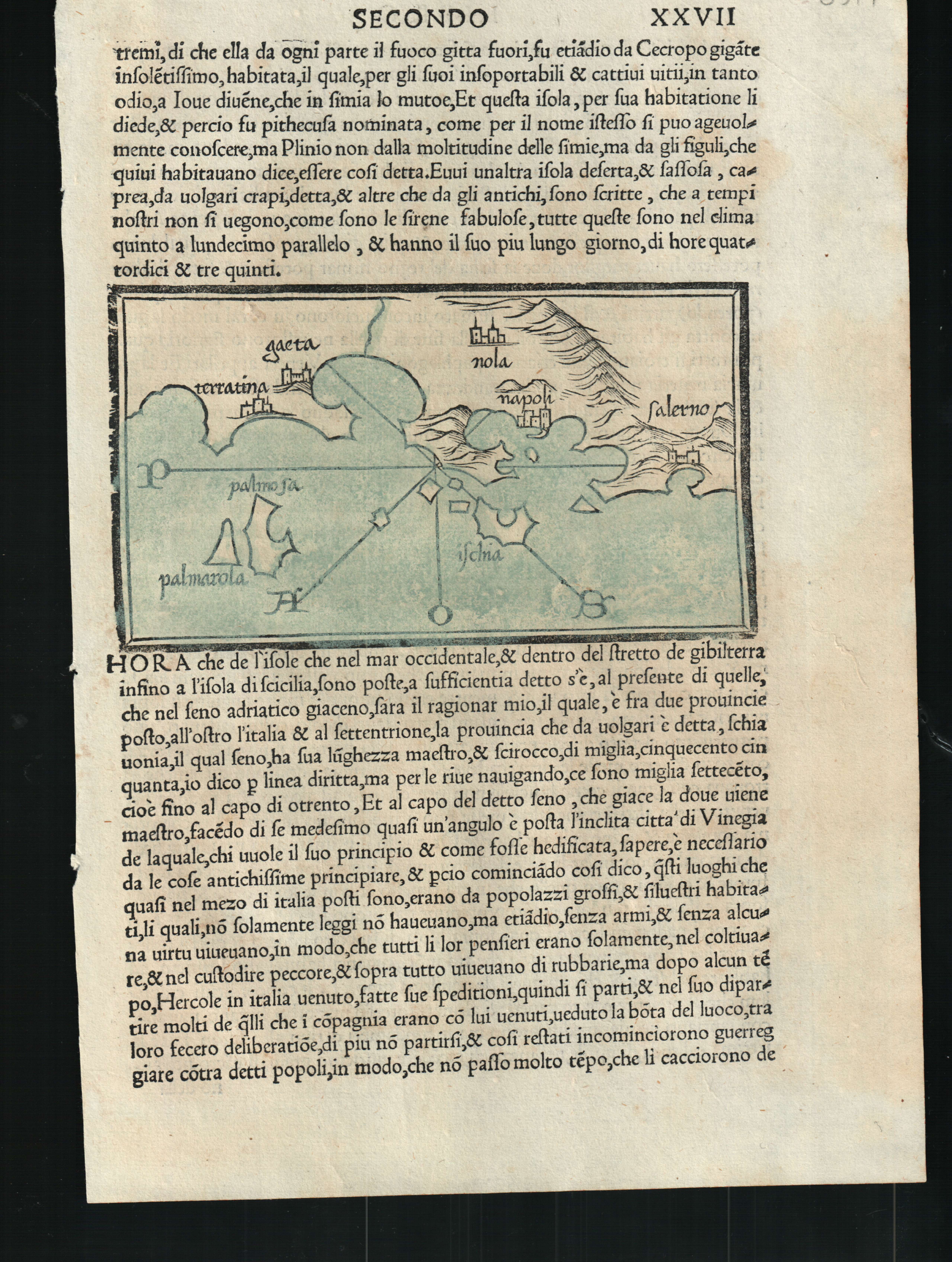
Map title
--
Author
Bordone
Location shown in map
Ischia
Edition date
1528
Edition place
Venice
Editor
Nicolo di Aristotile
Atlas
Isolario
Price
400 Euro
State
[mint/EXCELLENT/very good/good/fair/mediocre/poor]
Color
Old colors
Verso
Italian text pag.27
Size
Plate: cm (14 x 8.9) inches (5.51 x 3.5) Paper: cm (19 x 29) inches (7.48 x 11.42)
Technique
Woodcut
Note
--
Reference
--
Wiki
Here for more info
In stock
Available
Info
info@thetreasuremaps.com
Code
#0607
--
Author
Bordone
Location shown in map
Ischia
Edition date
1528
Edition place
Venice
Editor
Nicolo di Aristotile
Atlas
Isolario
Price
400 Euro
State
[mint/EXCELLENT/very good/good/fair/mediocre/poor]
Color
Old colors
Verso
Italian text pag.27
Size
Plate: cm (14 x 8.9) inches (5.51 x 3.5) Paper: cm (19 x 29) inches (7.48 x 11.42)
Technique
Woodcut
Note
--
Reference
--
Wiki
Here for more info
In stock
Available
Info
info@thetreasuremaps.com
Code
#0607
×
![-- by Bordone, Ischia, 1528]()
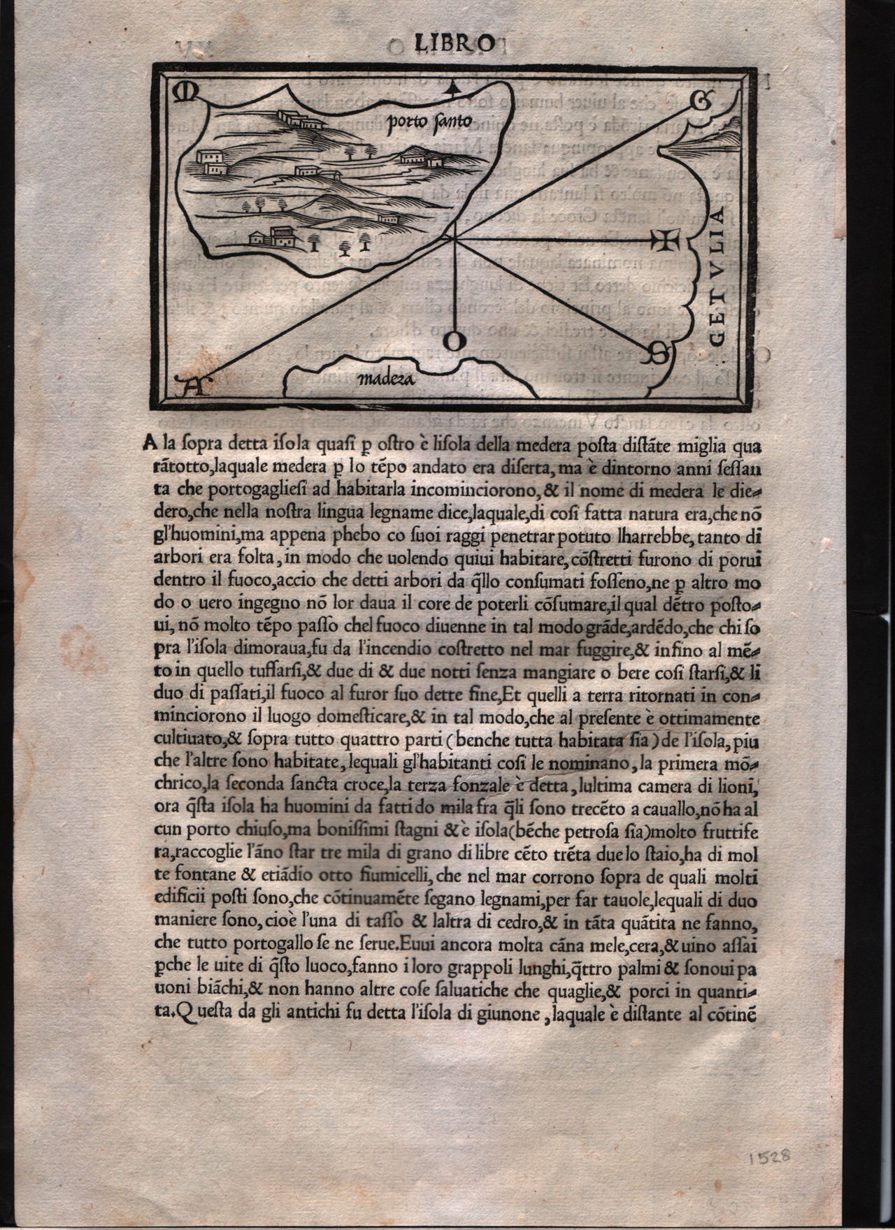
Map title
Porto Santo
Author
Bordone
Location shown in map
Madeira island
Edition date
1528
Edition place
Venice
Editor
Nicolò di Aristotile
Atlas
Isolario
Price
400 Euro
State
[mint/EXCELLENT/very good/good/fair/mediocre/poor]
Color
Black/white
Verso
Italian text pag.15
Size
Plate: cm (14 x 8.9) inches (5.51 x 3.5) Paper: cm (20.3 x 30.5) inches (7.99 x 12.01)
Technique
Woodcut
Note
--
Reference
--
Wiki
Here for more info
In stock
Available
Info
info@thetreasuremaps.com
Code
#0171
×
![Porto Santo by Bordone, Madeira island, 1528]()