1700-1799
Map title
Carte generale du theatre de la guerre
Author
Nolin
Location shown in map
North Italy
Edition date
1701
Edition place
Paris
Editor
Atlas
Price
150 Euro
State
[mint/EXCELLENT/very good/good/fair/mediocre/poor]
Color
Old colors
Verso
Blank
Size
Plate: cm (34 x 25) inches (13.39 x 9.84) Paper: cm (49 x 33) inches (19.29 x 12.99)
Technique
Copper engraving
Note
Reference
Wiki
Here for more info
In stock
Available
Info
info@thetreasuremaps.com
Code
#1083
×
![]()
Map title
Genua
Author
Thomas Fritschen
Location shown in map
Genoa
Edition date
1702
Edition place
Leipzig
Editor
Thomas Fritschen
Atlas
Schauplatz Krieges in Italien
Price
Please ask: info@thetreasuremaps.com
State
[mint/EXCELLENT/very good/good/fair/mediocre/poor]
Color
Black/white
Verso
White
Size
Plate: cm (14 x 12.7) inches (5.51 x 5) Paper: cm (17.8 x 17.8) inches (7.01 x 7.01)
Technique
Copper engraving
Note
No particular notes for this maps.
Reference
--
Wiki
Here for more info
In stock
Sold
Info
info@thetreasuremaps.com
Code
#0543
×
![]()
Map title
Belli typus in Italia in statu Mediolanesi
Author
Homann
Location shown in map
Lombardy
Edition date
1702
Edition place
?
Editor
--
Atlas
--
Price
350 Euro
State
[mint/excellent/VERY GOOD/good/fair/mediocre/poor]
Color
Old colors
Verso
Blank
Size
Plate: cm (55.9 x 48.3) inches (22.01 x 19.02) Paper: cm (61 x 50.8) inches (24.02 x 20)
Technique
Copper engraving
Note
--
Reference
--
Wiki
Here for more info
In stock
Available
Info
info@thetreasuremaps.com
Code
#0511
×
![]()
Map title
Savona
Author
Fritschen
Location shown in map
Savona
Edition date
1702
Edition place
Lipsia
Editor
Thomas Fritschen
Atlas
Schauplatz des Krieges In Italien, Oder Accurate Beschreibung der Lombardey
Price
200 Euro
State
[mint/EXCELLENT/very good/good/fair/mediocre/poor]
Color
Black/white
Verso
Blank
Size
Plate: cm (14 x 8) inches (5.51 x 3.15) Paper: cm (17 x 10) inches (6.69 x 3.94)
Technique
Copper engraving
Note
Reference
Wiki
Here for more info
In stock
Available
Info
info@thetreasuremaps.com
Code
#0810
Savona
Author
Fritschen
Location shown in map
Savona
Edition date
1702
Edition place
Lipsia
Editor
Thomas Fritschen
Atlas
Schauplatz des Krieges In Italien, Oder Accurate Beschreibung der Lombardey
Price
200 Euro
State
[mint/EXCELLENT/very good/good/fair/mediocre/poor]
Color
Black/white
Verso
Blank
Size
Plate: cm (14 x 8) inches (5.51 x 3.15) Paper: cm (17 x 10) inches (6.69 x 3.94)
Technique
Copper engraving
Note
Reference
Wiki
Here for more info
In stock
Available
Info
info@thetreasuremaps.com
Code
#0810
×
![]()
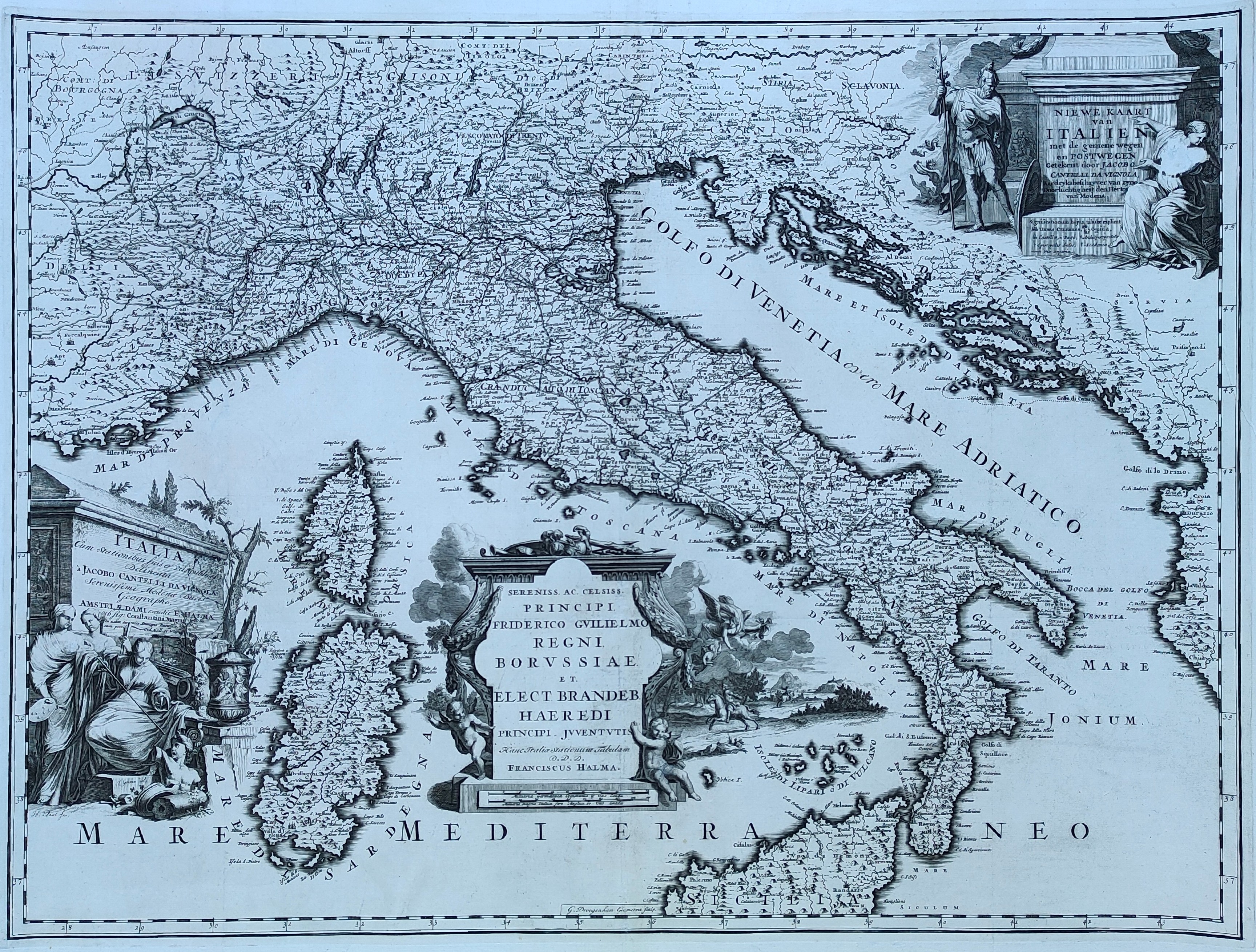
Map title
Niewe kaart van Italien
Author
Cantelli da Vignola
Location shown in map
Italy
Edition date
1704
Edition place
Amsterdam
Editor
Halma
Atlas
Beschryvinge van Oud en Niew Rome
Price
800 Euro
State
[mint/EXCELLENT/very good/good/fair/mediocre/poor]
Color
Black/white
Verso
Blank
Size
Plate: cm (66 x 51) inches (25.98 x 20.08) Paper: cm (70 x 56) inches (27.56 x 22.05)
Technique
Copper engraving
Note
Reference
R.Borri L'Italia nelle antiche carte pag.168
Wiki
Here for more info
In stock
Available
Info
info@thetreasuremaps.com
Code
#0850
×
![]()
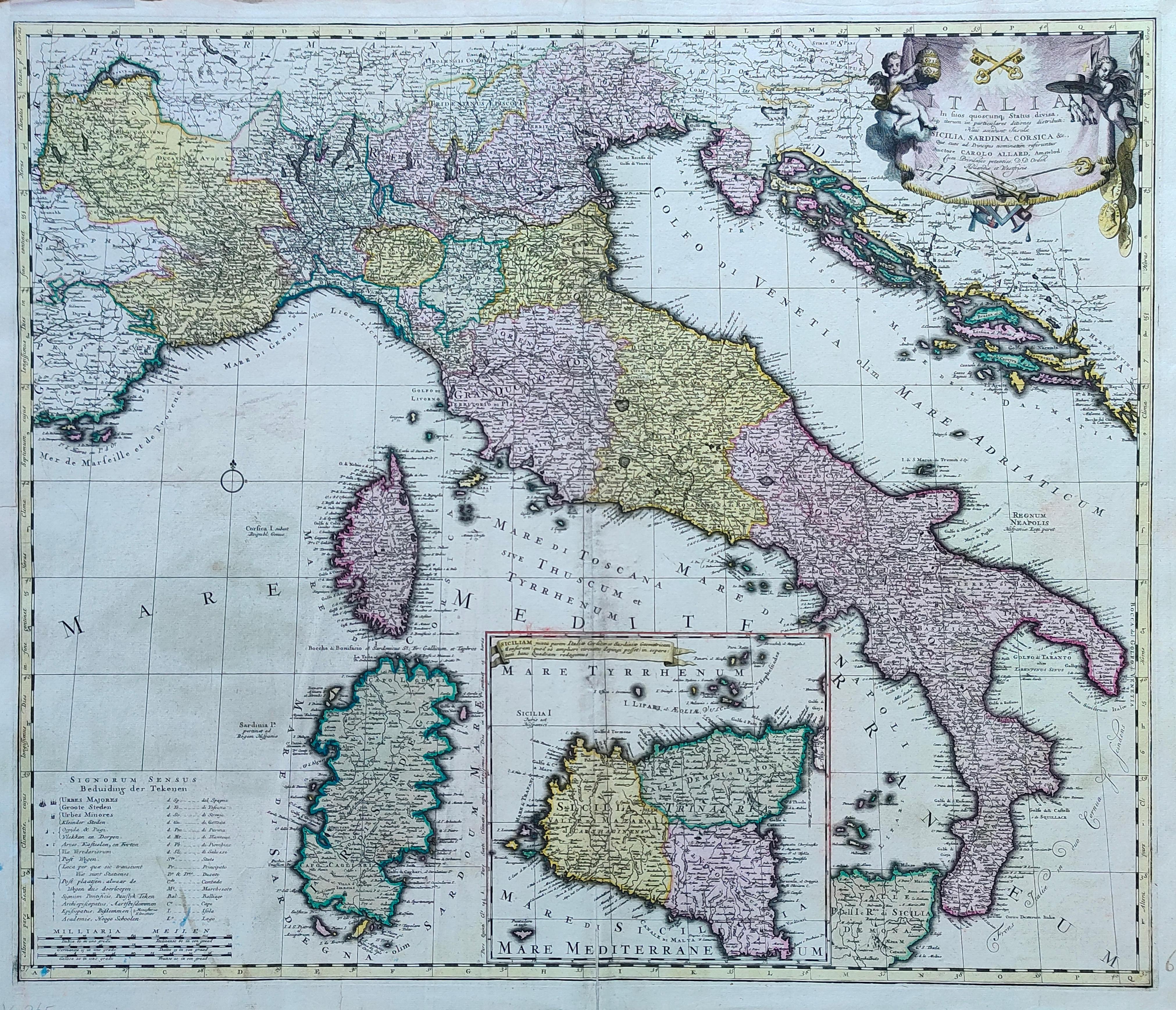
Map title
Italia in suos ...
Author
Allard
Location shown in map
Italy
Edition date
1705
Edition place
Amsterdam
Editor
--
Atlas
Atlas Major
Price
800 Euro
State
[mint/EXCELLENT/very good/good/fair/mediocre/poor]
Color
Old colors
Verso
Blank
Size
Plate: cm (59 x 50) inches (23.23 x 19.69) Paper: cm (65 x 55) inches (25.59 x 21.65)
Technique
Copper engraving
Note
Reference
R.Borri L'Italia nelle antiche carte pag.178
Wiki
Here for more info
In stock
Available
Info
info@thetreasuremaps.com
Code
#1279
×
![]()
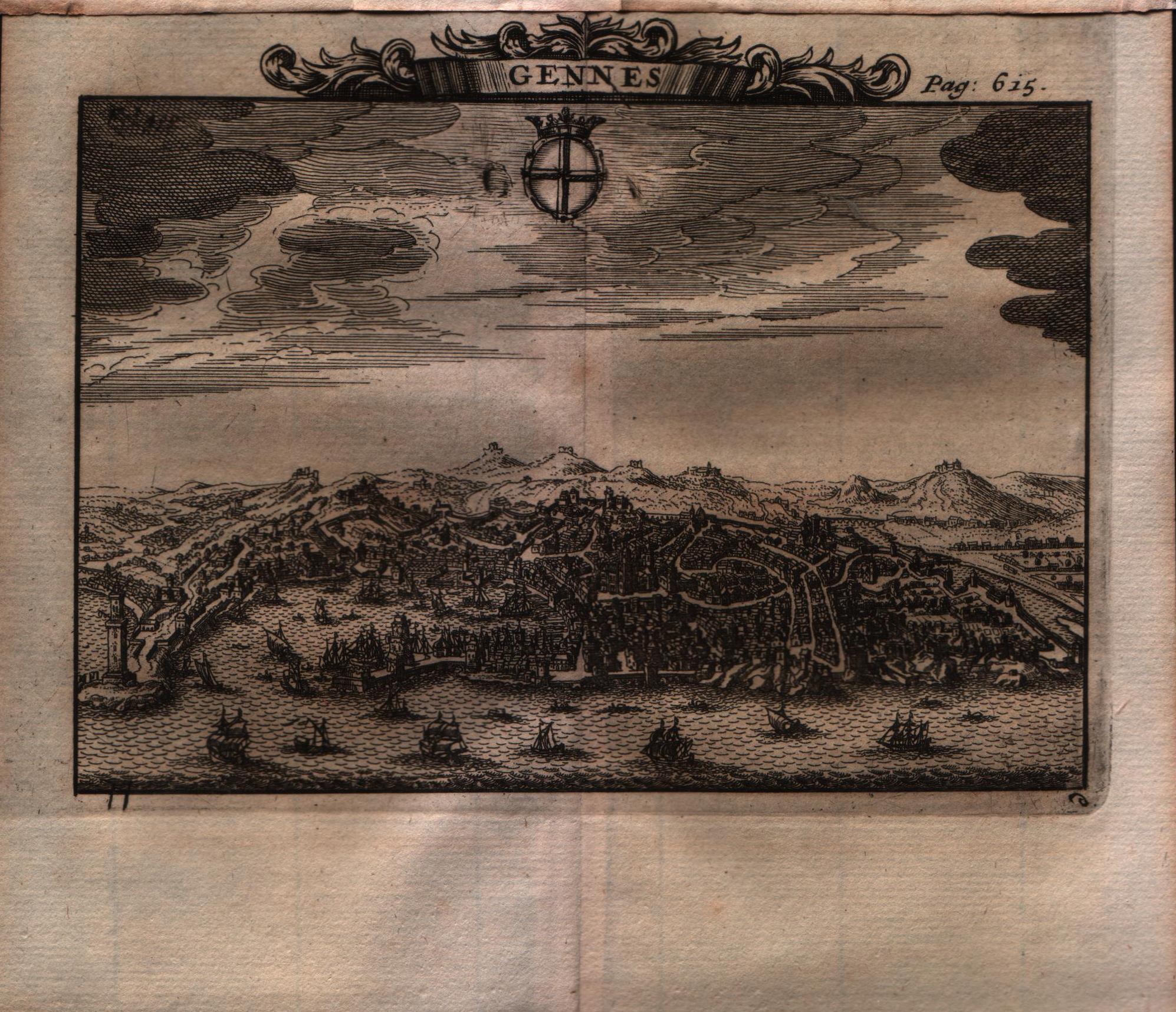
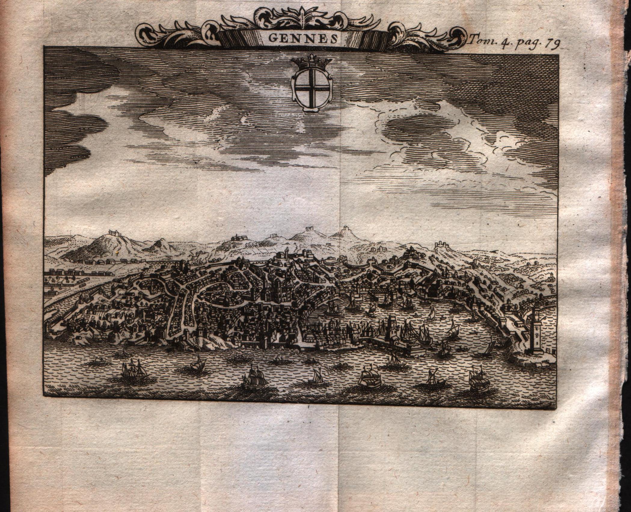
Map title
Gennes
Author
Alexandre de Rogissart
Location shown in map
Genoa
Edition date
1706
Edition place
Leiden
Editor
Pierre Vander
Atlas
Les delices de l'Italie
Price
Please ask: info@thetreasuremaps.com
State
[MINT/excellent/VERY GOOD/good/fair/mediocre/poor]
Color
Black/white
Verso
Blank
Size
Plate: cm (15.2 x 12.7) inches (5.98 x 5) Paper: cm (17.8 x 17.8) inches (7.01 x 7.01)
Technique
Copper engraving
Note
No particular notes for this maps.
Reference
--
Wiki
Here for more info
In stock
Sold
Info
info@thetreasuremaps.com
Code
#0564
×
![]()

Map title
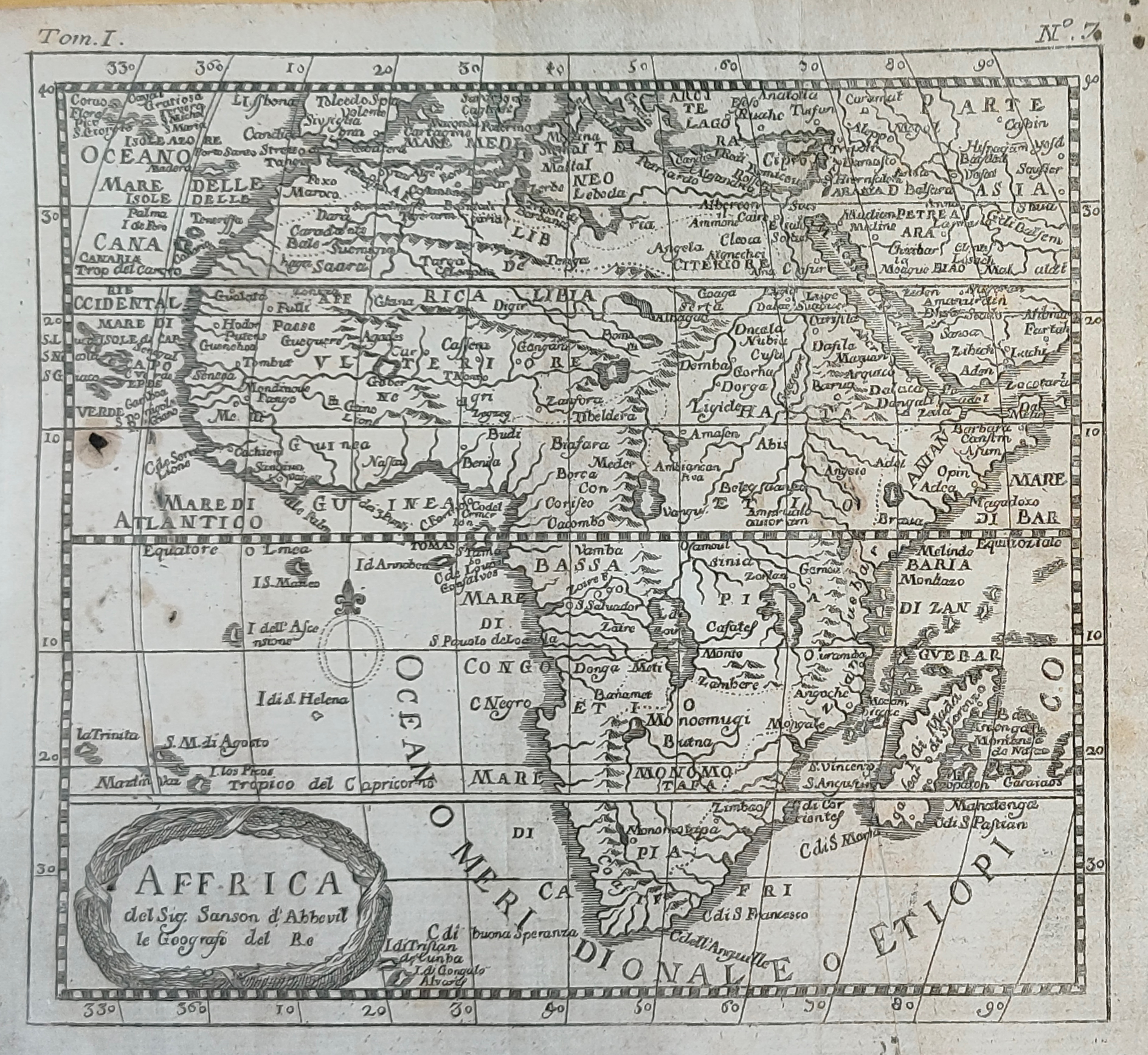
Africa Propria
Author
Unknown
Location shown in map
Notrh Africa
Edition date
1706
Edition place
???
Editor
--
Atlas
???
Price
Please ask: info@thetreasuremaps.com
State
[mint/excellent/VERY GOOD/good/fair/mediocre/poor]
Color
Black/white
Verso
Blank
Size
Plate: cm (30.5 x 20.3) inches (12.01 x 7.99) Paper: cm (33.7 x 23.5) inches (13.27 x 9.25)
Technique
Copper engraving
Note
No particular notes for this maps
Reference
--
Wiki
Here for more info
In stock
Sold
Info
info@thetreasuremaps.com
Code
#0446
×
![]()
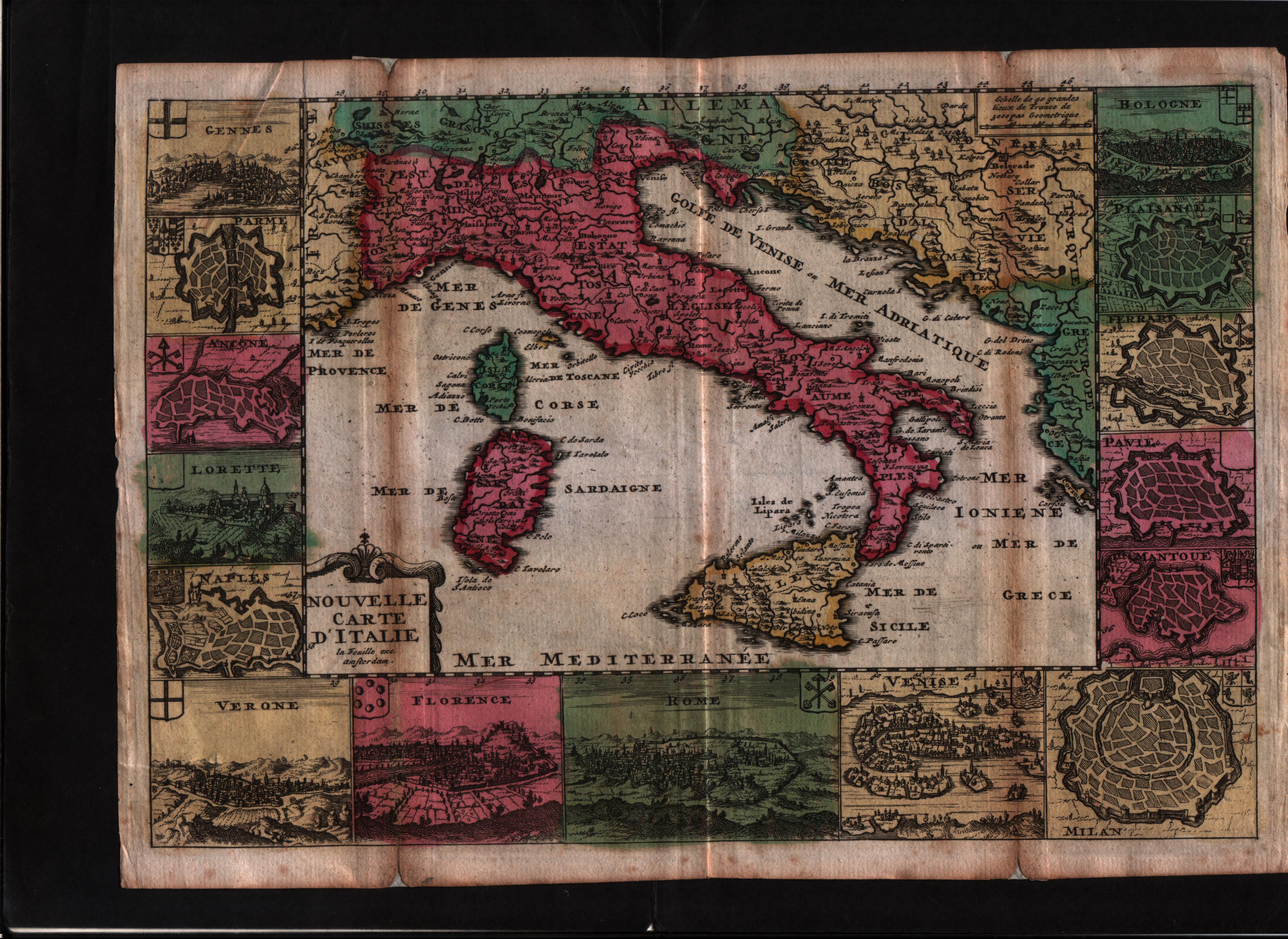
Map title
Novelle carte d'Italie
Author
Daniel de La Feuille
Location shown in map
Italy
Edition date
1706
Edition place
Amsterdam
Editor
--
Atlas
Les tablettes guerrieres, ou cartes choisies piur la commodite des officiers
Price
Please ask: info@thetreasuremaps.com
State
[mint/excellent/VERY GOOD/good/fair/mediocre/poor]
Color
Old colors
Verso
Blank
Size
Plate: cm (25.4 x 17.8) inches (10 x 7.01) Paper: cm (26.7 x 19) inches (10.51 x 7.48)
Technique
Copper engraving
Note
--
Reference
Wiki
Here for more info
In stock
Sold
Info
info@thetreasuremaps.com
Code
#0584
×
![]()
Map title
Gennes
Author
Alexandre de Rogissart
Location shown in map
Genoa
Edition date
1707
Edition place
Leiden
Editor
Pierre Vander
Atlas
Les delices de l'Italie
Price
Please ask: info@thetreasuremaps.com
State
[MINT/excellent/VERY GOOD/good/fair/mediocre/poor]
Color
Black/white
Verso
Blank
Size
Plate: cm (15.2 x 12.7) inches (5.98 x 5) Paper: cm (17.8 x 17.8) inches (7.01 x 7.01)
Technique
Copper engraving
Note
No particular notes for this maps.
Reference
--
Wiki
Here for more info
In stock
Sold
Info
info@thetreasuremaps.com
Code
#0565
×
![]()
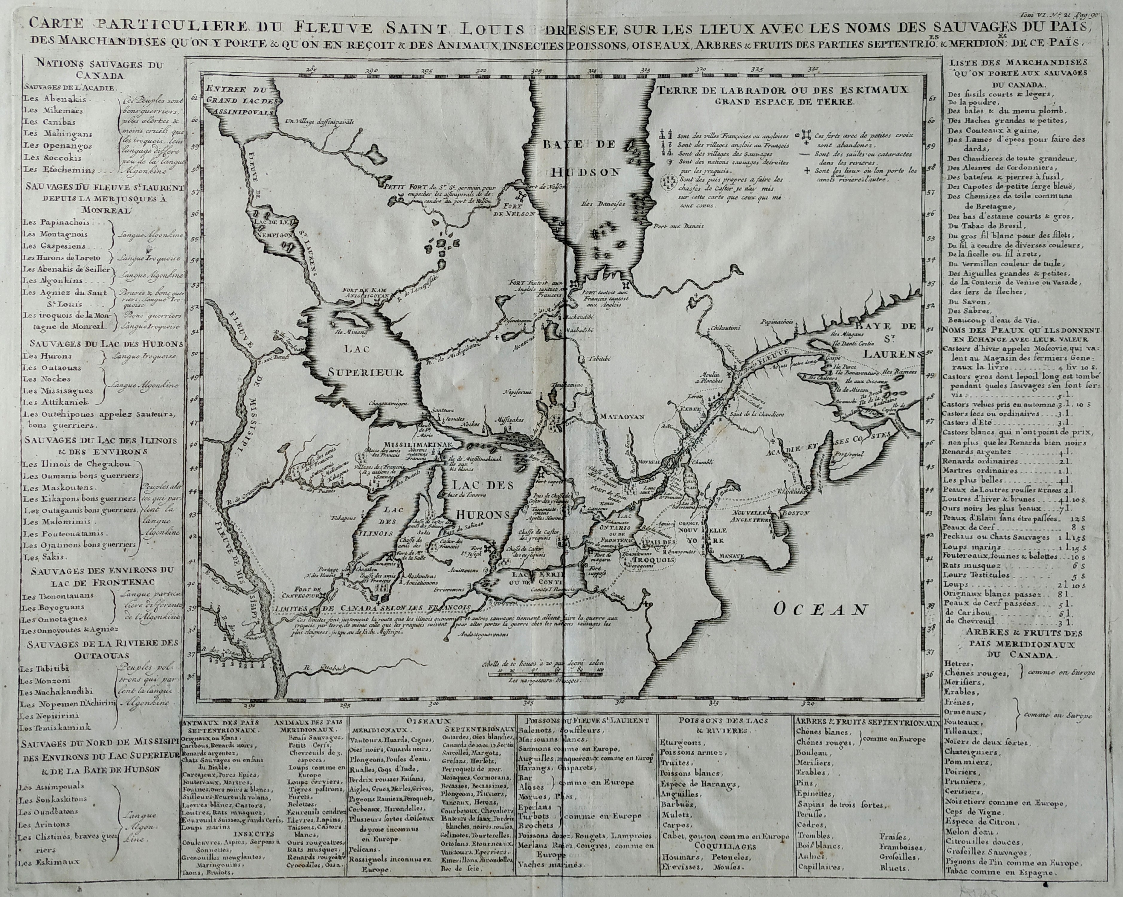
Map title
Carte Particuliere Du Fleuve Saint Louis Dressee Sure Les Lieux Avec Les Noms Des Sauvages Du Pais
Author
Henri Chatelain
Location shown in map
Canada & North America
Edition date
1708
Edition place
Amsterdam
Editor
--
Atlas
Atlas Historique
Price
Please ask: info@thetreasuremaps.com
State
[mint/EXCELLENT/very good/good/fair/mediocre/poor]
Color
Black/white
Verso
Blank
Size
Plate: cm (35.6 x 45.7) inches (14.02 x 17.99) Paper: cm (35.6 x 45.7) inches (14.02 x 17.99)
Technique
Copper engraving
Note
Key giving historical & geographical information
Reference
--
Wiki
Here for more info
In stock
Sold
Info
info@thetreasuremaps.com
Code
#0057
×
![]()
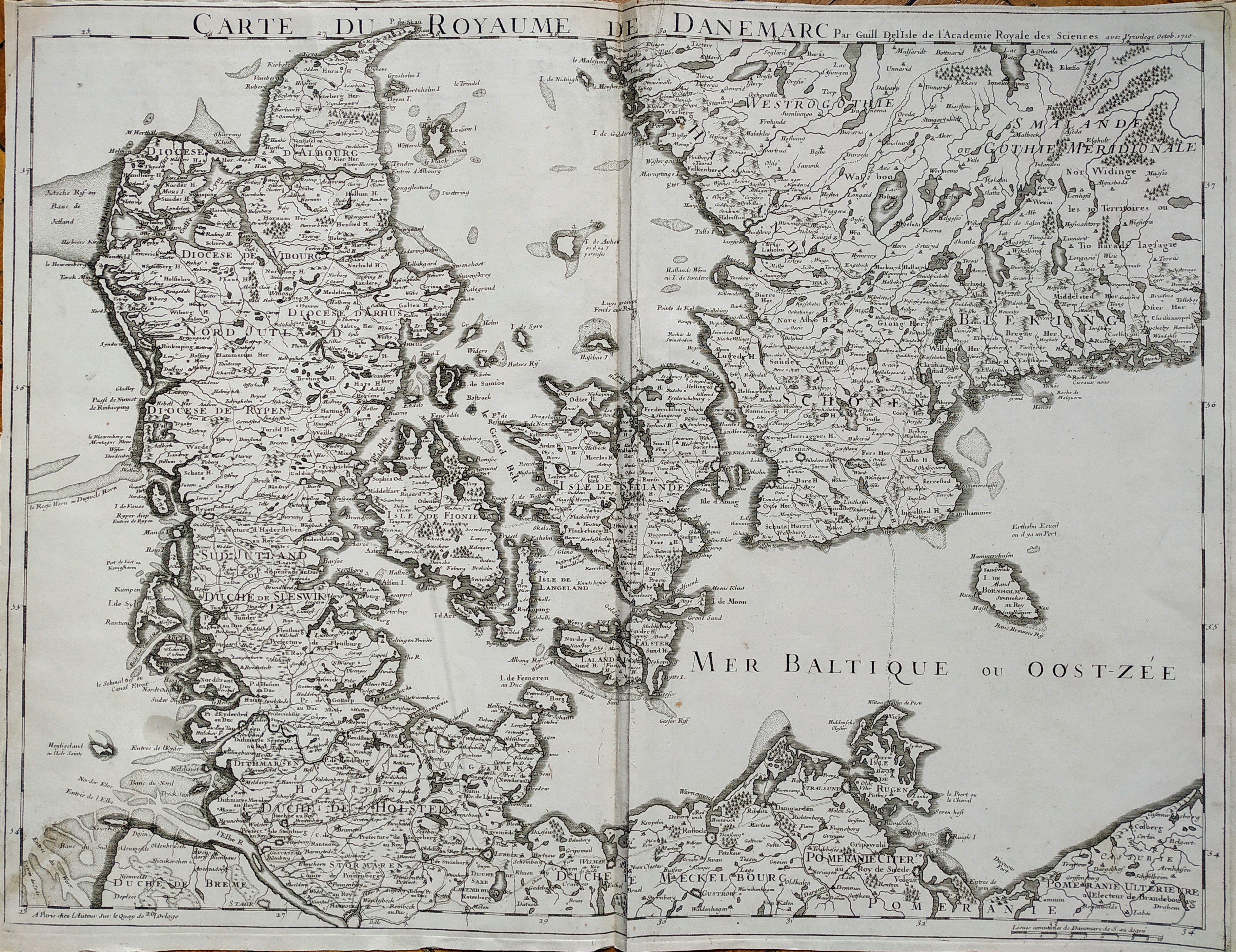
Map title
Carte du roroyaume de Danemarc
Author
Delisle
Location shown in map
Denmark
Edition date
1710
Edition place
Paris
Editor
Guillaume Delisle
Atlas
Price
250 Euro
State
[mint/EXCELLENT/very good/good/fair/mediocre/poor]
Color
Black/white
Verso
Blank
Size
Plate: cm (63 x 49) inches (24.8 x 19.29) Paper: cm (65 x 50) inches (25.59 x 19.69)
Technique
Copper engraving
Note
No particular notes for this maps
Reference
Wiki
Here for more info
In stock
Available
Info
info@thetreasuremaps.com
Code
#0727
×
![]()
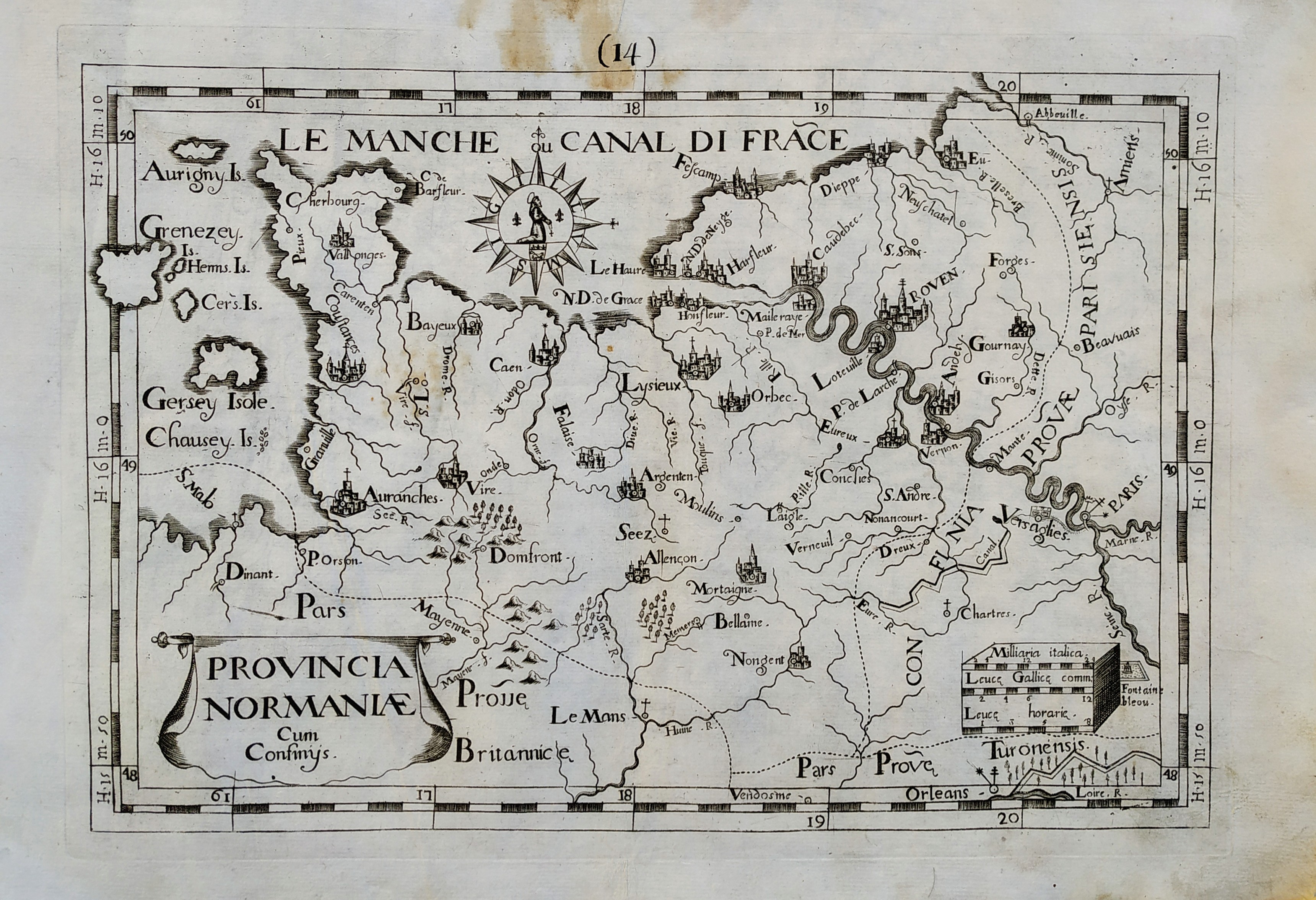
Map title
Provincia Normaniae
Author
Giovanni Battista de Cassine
Location shown in map
Normandie
Edition date
1712
Edition place
Milan
Editor
Ambrosii Ramellati
Atlas
Chorographica descriptio Provinciarum, et Conventuum FF. Min. S. Francisci Capucinorum
Price
Please ask: info@thetreasuremaps.com
State
[mint/EXCELLENT/very good/good/fair/mediocre/poor]
Color
Black/white
Verso
Blank
Size
Plate: cm (32 x 22) inches (12.6 x 8.66) Paper: cm (38 x 27) inches (14.96 x 10.63)
Technique
Copper engraving
Note
No particular notes for this maps.
Reference
--
Wiki
Here for more info
In stock
Available
Info
info@thetreasuremaps.com
Code
#0720
×
![]()
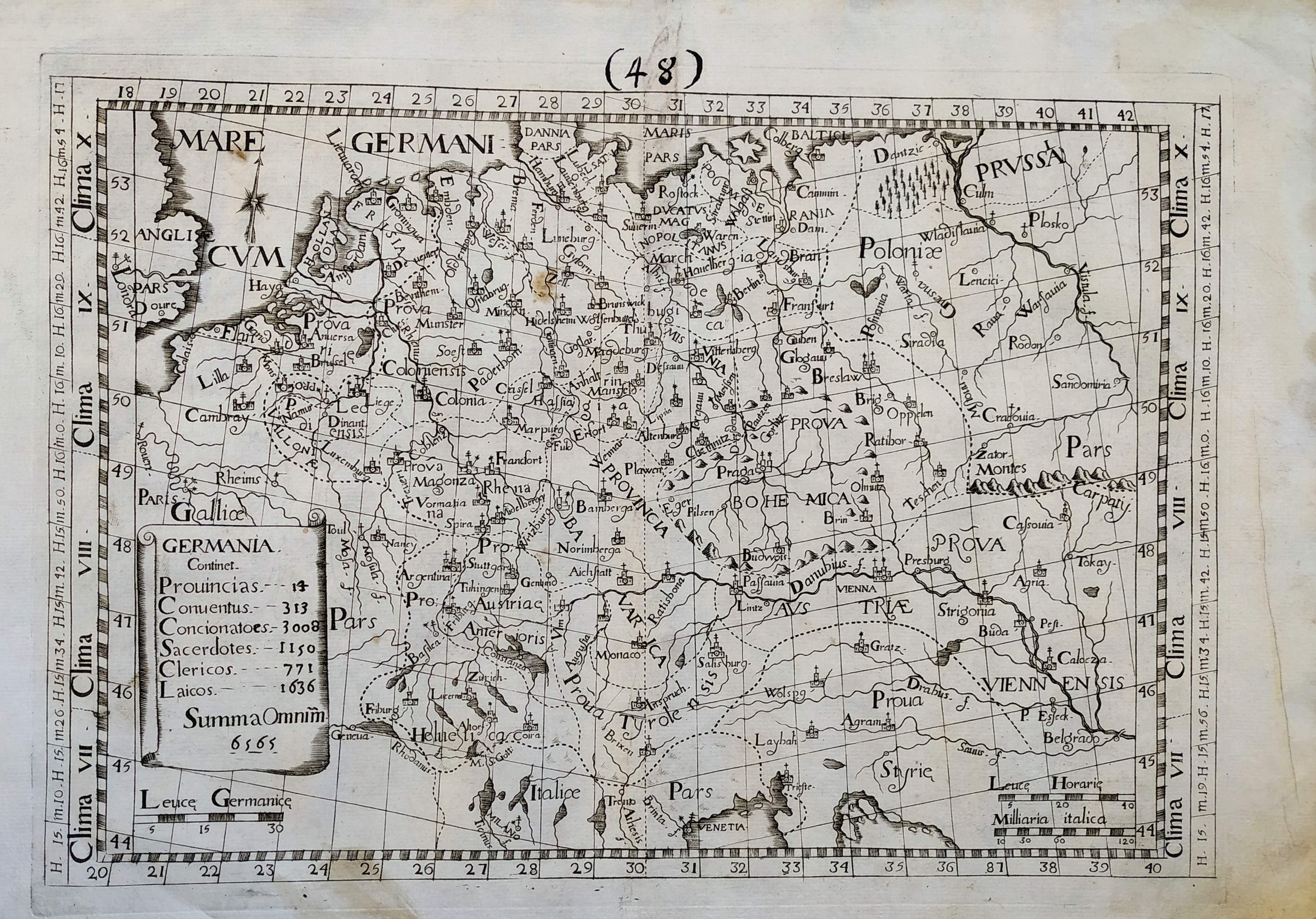
Map title
Germania
Author
Giovanni Battista de Cassine
Location shown in map
Germany
Edition date
1712
Edition place
Milan
Editor
Ambrosii Ramellati
Atlas
Chorographica descriptio Provinciarum, et Conventuum FF. Min. S. Francisci Capucinorum
Price
Please ask: info@thetreasuremaps.com
State
[mint/EXCELLENT/very good/good/fair/mediocre/poor]
Color
Black/white
Verso
Blank
Size
Plate: cm (32 x 22) inches (12.6 x 8.66) Paper: cm (38 x 27) inches (14.96 x 10.63)
Technique
Copper engraving
Note
No particular notes for this maps.
Reference
--
Wiki
Here for more info
In stock
Available
Info
info@thetreasuremaps.com
Code
#0721
×
![]()

Map title
Hispania
Author
Giovanni Battista de Cassine
Location shown in map
Spain
Edition date
1712
Edition place
Milan
Editor
Ambrosii Ramellati
Atlas
Chorographica descriptio Provinciarum, et Conventuum FF. Min. S. Francisci Capucinorum
Price
Please ask: info@thetreasuremaps.com
State
[mint/EXCELLENT/very good/good/fair/mediocre/poor]
Color
Black/white
Verso
Blank
Size
Plate: cm (32 x 22) inches (12.6 x 8.66) Paper: cm (34 x 24) inches (13.39 x 9.45)
Technique
Copper engraving
Note
No particular notes for this maps.
Reference
--
Wiki
Here for more info
In stock
Sold
Info
info@thetreasuremaps.com
Code
#0657
×
![]()
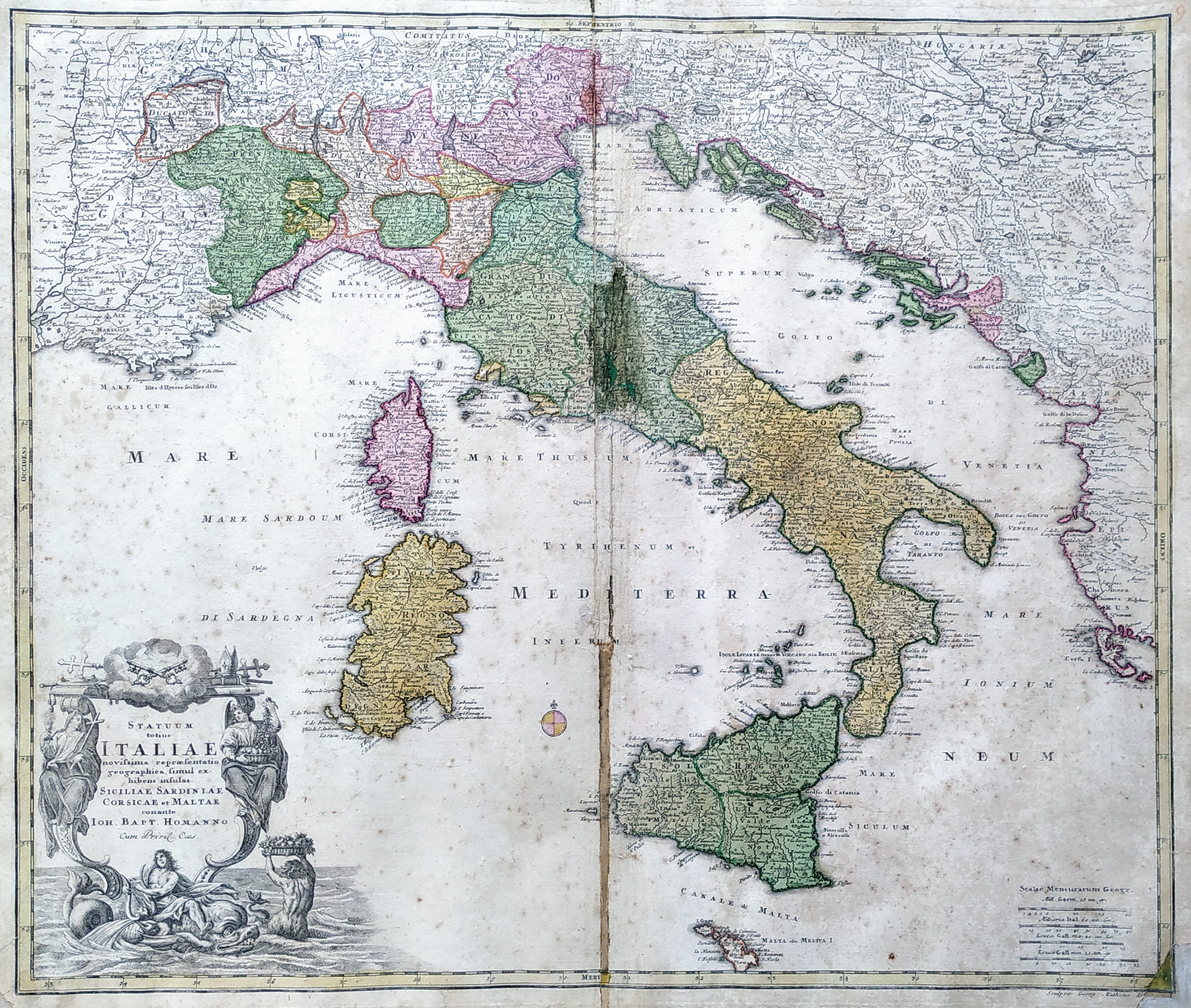
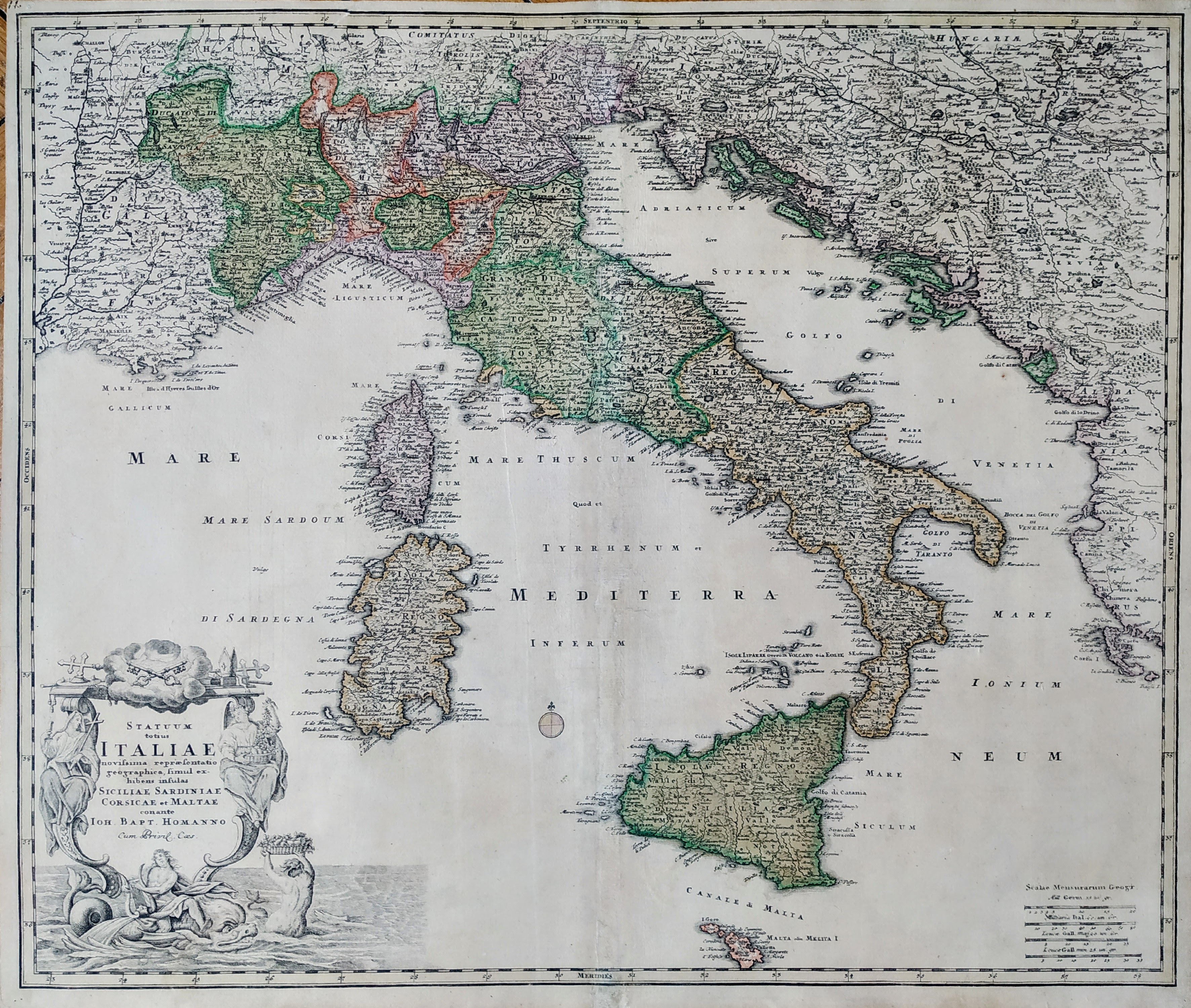
Map title
Statuum Totius Italiae Novissima Repraesentatio Geographica
Author
Homann
Location shown in map
Italy
Edition date
Circa 1712
Edition place
Nuremberg
Editor
Atlas
Price
350 Euro
State
[mint/excellent/very good/good/fair/mediocre/POOR]
Color
Old colors
Verso
Blank
Size
Plate: cm (58 x 50) inches (22.83 x 19.69) Paper: cm (62 x 53) inches (24.41 x 20.87)
Technique
Copper engraving
Note
Reference
R.Borri L'Italia nelle antiche carte pag.185
Wiki
Here for more info
In stock
Available
Info
info@thetreasuremaps.com
Code
#0812
×
![]()
Map title
Statuum Totius Italiae Novissima Repraesentatio Geographica
Author
Homann
Location shown in map
Italy
Edition date
Circa 1712
Edition place
Nuremberg
Editor
Atlas
Price
400 Euro
State
[mint/EXCELLENT/very good/good/fair/mediocre/poor]
Color
Old colors
Verso
Blank
Size
Plate: cm (58 x 50) inches (22.83 x 19.69) Paper: cm (62 x 53) inches (24.41 x 20.87)
Technique
Copper engraving
Note
Reference
R.Borri L'Italia nelle antiche carte pag.185
Wiki
Here for more info
In stock
Available
Info
info@thetreasuremaps.com
Code
#0866
×
![]()
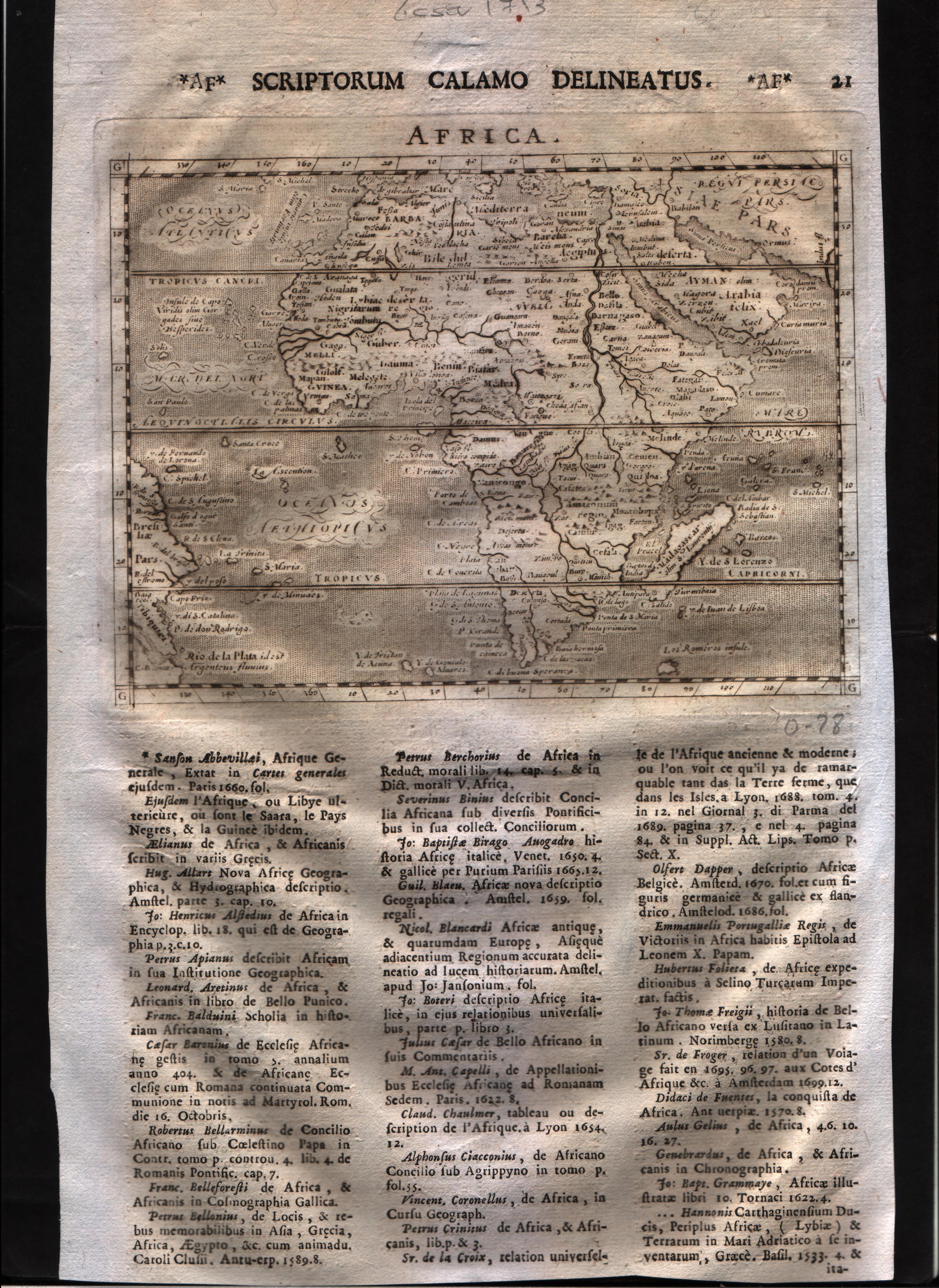
Map title
Africa
Author
Magini
Location shown in map
Africa
Edition date
1713
Edition place
Padua
Editor
Cadorin
Atlas
Universus terrarum orbis scriptorum calamo delineatus
Price
300 Euro
State
[MINT/excellent/very good/good/fair/mediocre/poor]
Color
Black/white
Verso
Latin text pag.22
Size
Plate: cm (17.8 x 12.7) inches (7.01 x 5) Paper: cm (20.3 x 30.5) inches (7.99 x 12.01)
Technique
Copper engraving
Note
Alphonse Lasor a Varea
Reference
--
Wiki
Here for more info
In stock
Available
Info
info@thetreasuremaps.com
Code
#0595
Africa
Author
Magini
Location shown in map
Africa
Edition date
1713
Edition place
Padua
Editor
Cadorin
Atlas
Universus terrarum orbis scriptorum calamo delineatus
Price
300 Euro
State
[MINT/excellent/very good/good/fair/mediocre/poor]
Color
Black/white
Verso
Latin text pag.22
Size
Plate: cm (17.8 x 12.7) inches (7.01 x 5) Paper: cm (20.3 x 30.5) inches (7.99 x 12.01)
Technique
Copper engraving
Note
Alphonse Lasor a Varea
Reference
--
Wiki
Here for more info
In stock
Available
Info
info@thetreasuremaps.com
Code
#0595
×
![]()
Map title
Venetia
Author
Magini
Location shown in map
Venice
Edition date
1713
Edition place
Padua
Editor
Cadorin
Atlas
Universus terrarum orbis scriptorum calamo delineatus
Price
250 Euro
State
[mint/EXCELLENT/very good/good/fair/mediocre/poor]
Color
Black/white
Verso
Latin text pag.642
Size
Plate: cm (18 x 12) inches (7.09 x 4.72) Paper: cm (22 x 14) inches (8.66 x 5.51)
Technique
Copper engraving
Note
Alphonse Lasor a Varea
Reference
Wiki
Here for more info
In stock
Available
Info
info@thetreasuremaps.com
Code
#0816
×
![]()
Map title
Nevers
Author
Magini
Location shown in map
Nevers
Edition date
1713
Edition place
Padua
Editor
Cadorin
Atlas
Universus terrarum orbis scriptorum calamo delineatus
Price
100 Euro
State
[mint/EXCELLENT/very good/good/fair/mediocre/poor]
Color
Black/white
Verso
Latin text pag.262
Size
Plate: cm (14 x 9) inches (5.51 x 3.54) Paper: cm (21 x 33) inches (8.27 x 12.99)
Technique
Copper engraving
Note
Alphonse Lasor a Varea
Reference
Wiki
Here for more info
In stock
Available
Info
info@thetreasuremaps.com
Code
#0665
Nevers
Author
Magini
Location shown in map
Nevers
Edition date
1713
Edition place
Padua
Editor
Cadorin
Atlas
Universus terrarum orbis scriptorum calamo delineatus
Price
100 Euro
State
[mint/EXCELLENT/very good/good/fair/mediocre/poor]
Color
Black/white
Verso
Latin text pag.262
Size
Plate: cm (14 x 9) inches (5.51 x 3.54) Paper: cm (21 x 33) inches (8.27 x 12.99)
Technique
Copper engraving
Note
Alphonse Lasor a Varea
Reference
Wiki
Here for more info
In stock
Available
Info
info@thetreasuremaps.com
Code
#0665
×
![]()
Map title
America
Author
Magini
Location shown in map
Americas
Edition date
1713
Edition place
Padua
Editor
Cadorin
Atlas
Universus terrarum orbis scriptorum calamo delineatus
Price
400 Euro
State
[MINT/excellent/very good/good/fair/mediocre/poor]
Color
Modern color
Verso
Latin text pag.22
Size
Plate: cm (17.8 x 12.7) inches (7.01 x 5) Paper: cm (23 x 34) inches (9.06 x 13.39)
Technique
Copper engraving
Note
Alphonse Lasor a Varea
Reference
--
Wiki
Here for more info
In stock
Available
Info
info@thetreasuremaps.com
Code
#0835
×
![]()
Map title
A New Map of Italy, Distinguishing all the
Author
Moll
Location shown in map
Italy
Edition date
1714
Edition place
London
Editor
Atlas
New and compleat atlas
Price
Please ask: info@thetreasuremaps.com
State
[mint/excellent/VERY GOOD/good/fair/mediocre/poor]
Color
Old colors
Verso
Blank
Size
Plate: cm (102 x 61) inches (40.16 x 24.02) Paper: cm (100 x 59) inches (39.37 x 23.23)
Technique
Copper engraving
Note
Reference
R.Borri L'Italia nelle antiche carte pag.231
Wiki
Here for more info
In stock
Available
Info
info@thetreasuremaps.com
Code
#0951
×
![]()

Map title
Totius regni Neapolis
Author
Homann
Location shown in map
South Italy
Edition date
Circa 1716
Edition place
Nurimberg
Editor
Atlas
Price
400 Euro
State
[mint/EXCELLENT/very good/good/fair/mediocre/poor]
Color
Old colors
Verso
Blank
Size
Plate: cm (51 x 60) inches (20.08 x 23.62) Paper: cm (48 x 56) inches (18.9 x 22.05)
Technique
Copper engraving
Note
framed
Reference
--
Wiki
Here for more info
In stock
Available
Info
info@thetreasuremaps.com
Code
#1227
×
![]()
Map title
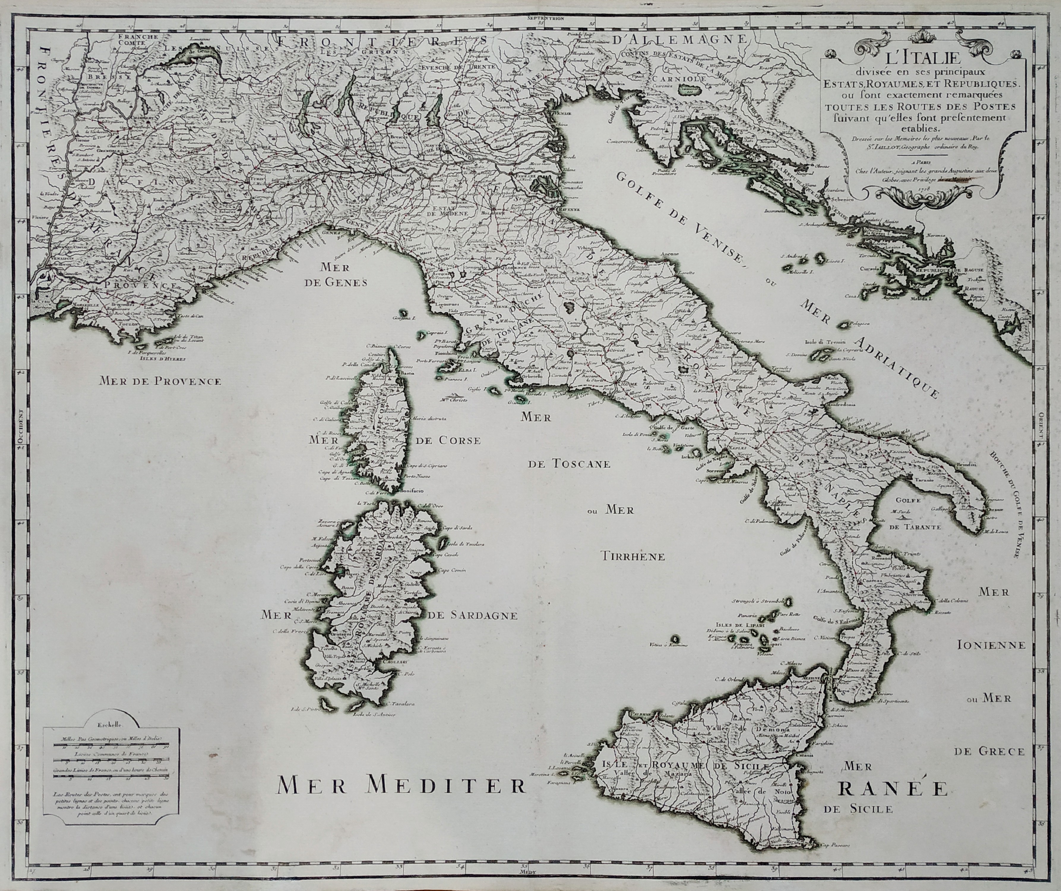
L'Italie divisee en ses principaux Estats
Author
Alexis Hubert Jaillot
Location shown in map
Italy
Edition date
1718
Edition place
Paris
Editor
Atlas
Price
300 Euro
State
[mint/excellent/VERY GOOD/good/fair/mediocre/poor]
Color
Old color
Verso
Blank
Size
Plate: cm (74 x 53) inches (29.13 x 20.87) Paper: cm (60 x 51) inches (23.62 x 20.08)
Technique
Copper engraving
Note
Reference
R.Borri L'Italia nelle antiche carte pag.187
Wiki
Here for more info
In stock
Available
Info
info@thetreasuremaps.com
Code
#0760
×
![]()
Map title
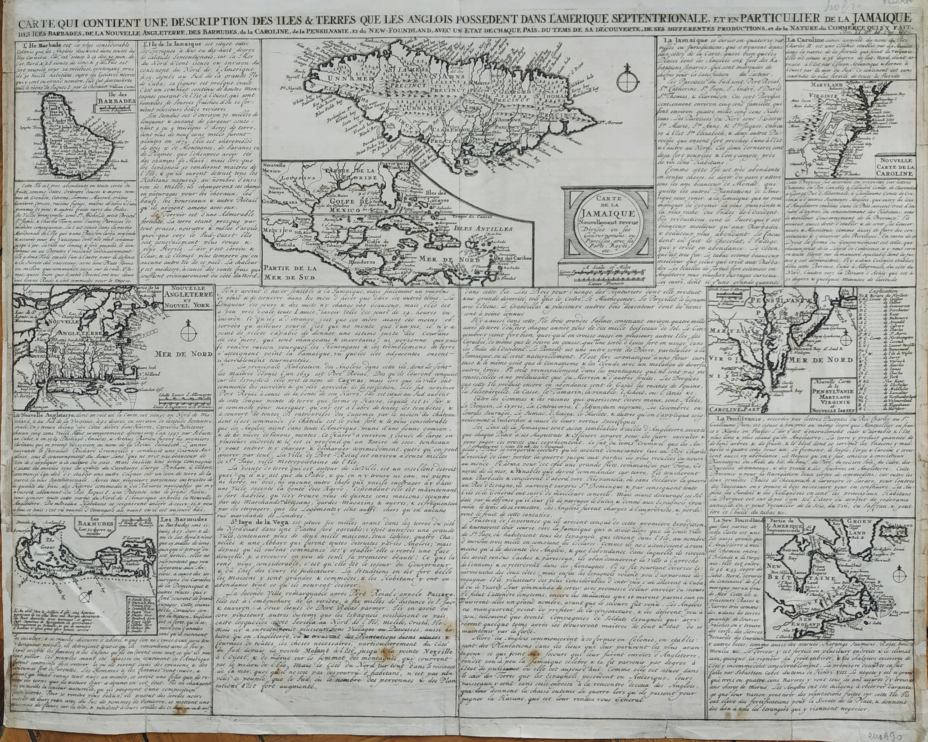
Carte qui contient une description des iles & terres que les Anglois possedent dans l'Amerique septentrionale, et en particulier de la Jamaique, des Iles Barbades, de la Nouvelle Angleterre, Des Barmudes,de la Caroline, de la Pensilvanie, et du New-Foundland, avec un Etat de Chaque Pais
Author
Henri Chatelain
Location shown in map
North America
Edition date
1719
Edition place
Amsterdam
Editor
Atlas
Atlas Historique
Price
Please ask: info@thetreasuremaps.com
State
[mint/excellent/VERY GOOD/good/fair/mediocre/poor]
Color
Black/white
Verso
Blank
Size
Plate: cm (52 x 42) inches (20.47 x 16.54) Paper: cm (53 x 43) inches (20.87 x 16.93)
Technique
Copper engraving
Note
Reference
Wiki
Here for more info
In stock
Available
Info
info@thetreasuremaps.com
Code
#0811
×
![]()
Map title
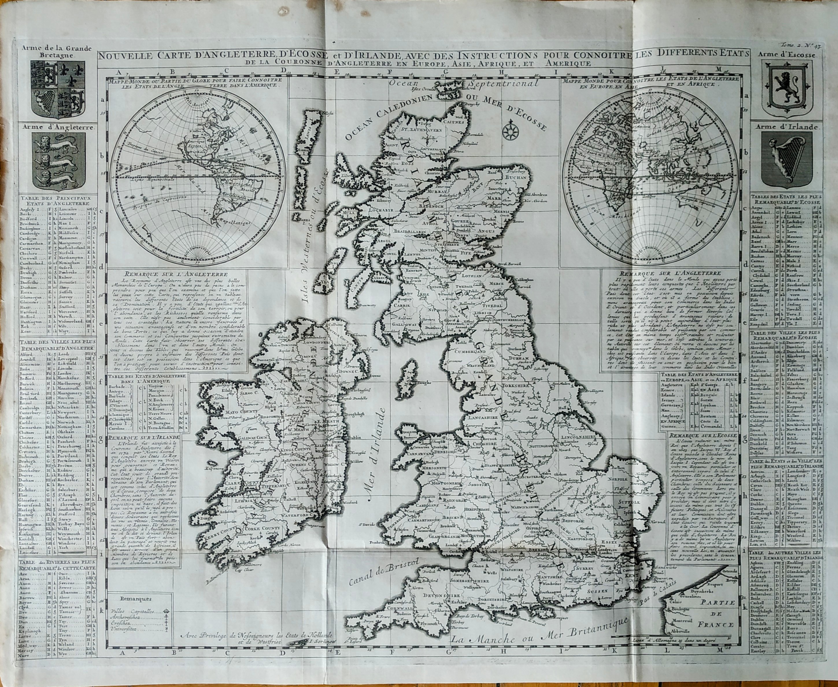
Nouvelle carte d'Angleterre d'Ecosse et d'Irlande
Author
Henri Chatelain
Location shown in map
Great Britain
Edition date
1719
Edition place
Amsterdam
Editor
Atlas
Atlas Historique
Price
350 Euro
State
[mint/EXCELLENT/very good/good/fair/mediocre/poor]
Color
Black/white
Verso
Blank
Size
Plate: cm (62 x 47) inches (24.41 x 18.5) Paper: cm (65 x 53) inches (25.59 x 20.87)
Technique
Copper engraving
Note
Reference
Wiki
Here for more info
In stock
Available
Info
info@thetreasuremaps.com
Code
#0813
×
![]()
Map title
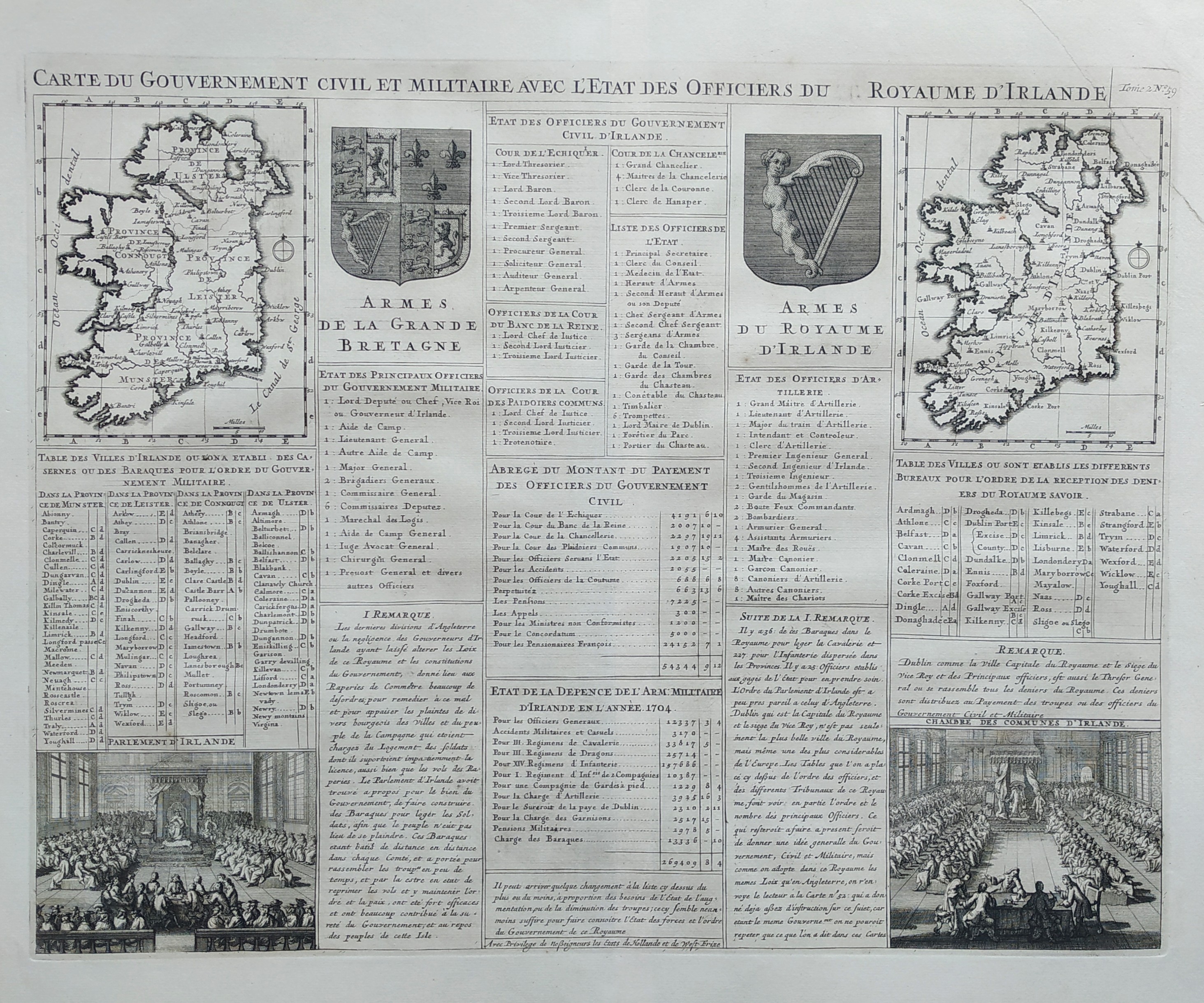
Carte du government civil et miltaire avec l'etat des officiers du royaume d'Irlande
Author
Henri Chatelain
Location shown in map
Irland
Edition date
1719
Edition place
Amsterdam
Editor
Atlas
Atlas Historique
Price
Please ask: info@thetreasuremaps.com
State
[mint/EXCELLENT/very good/good/fair/mediocre/poor]
Color
Black/white
Verso
Blank
Size
Plate: cm (52 x 42) inches (20.47 x 16.54) Paper: cm (53 x 43) inches (20.87 x 16.93)
Technique
Copper engraving
Note
Reference
Wiki
Here for more info
In stock
Available
Info
info@thetreasuremaps.com
Code
#0825
×
![]()
Map title
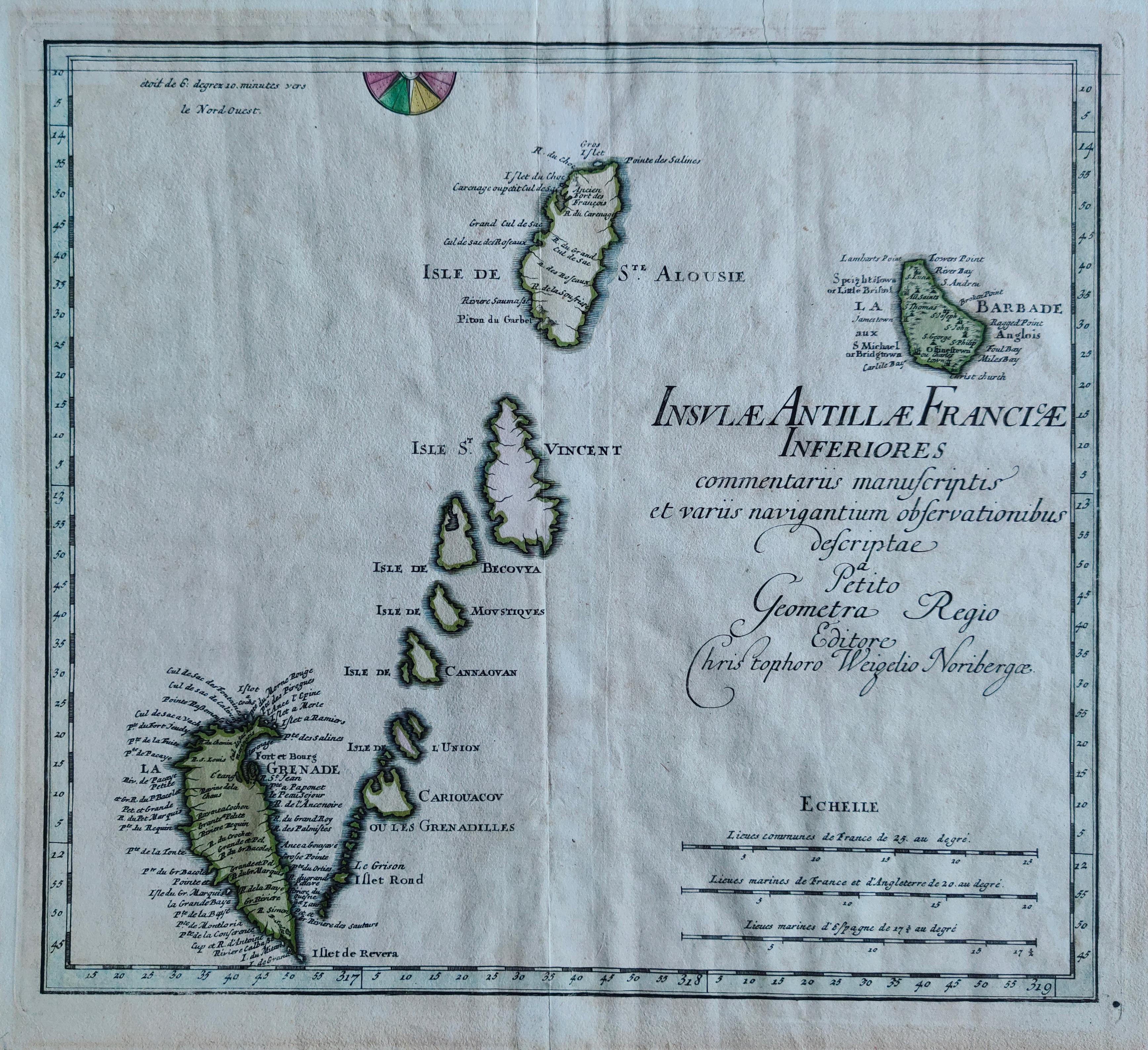
Insulae Antillae Franciae Inferiores
Author
Weigel
Location shown in map
Antille
Edition date
1719
Edition place
Nurimberg
Editor
Atlas
Schul- und Reisen-Atlas Aller Zu Erlernung der Alten
Price
275 Euro
State
[mint/EXCELLENT/very good/good/fair/mediocre/poor]
Color
Old colors
Verso
Blank
Size
Plate: cm (36 x 32) inches (14.17 x 12.6) Paper: cm (40 x 36) inches (15.75 x 14.17)
Technique
Copper engraving
Note
Reference
Wiki
Here for more info
In stock
Available
Info
info@thetreasuremaps.com
Code
#1284
×
![]()
Map title
America Meridionale
Author
Sanson
Location shown in map
South America
Edition date
1720
Edition place
--
Editor
--
Atlas
--
Price
100 Euro
State
[mint/excellent/VERY GOOD/good/fair/mediocre/poor]
Color
Black/white
Verso
Blank
Size
Plate: cm (15.2 x 15.2) inches (5.98 x 5.98) Paper: cm (16.5 x 16.5) inches (6.5 x 6.5)
Technique
Copper engraving
Note
No particular notes for this maps
Reference
--
Wiki
Here for more info
In stock
Available
Info
info@thetreasuremaps.com
Code
#0018
×
![]()
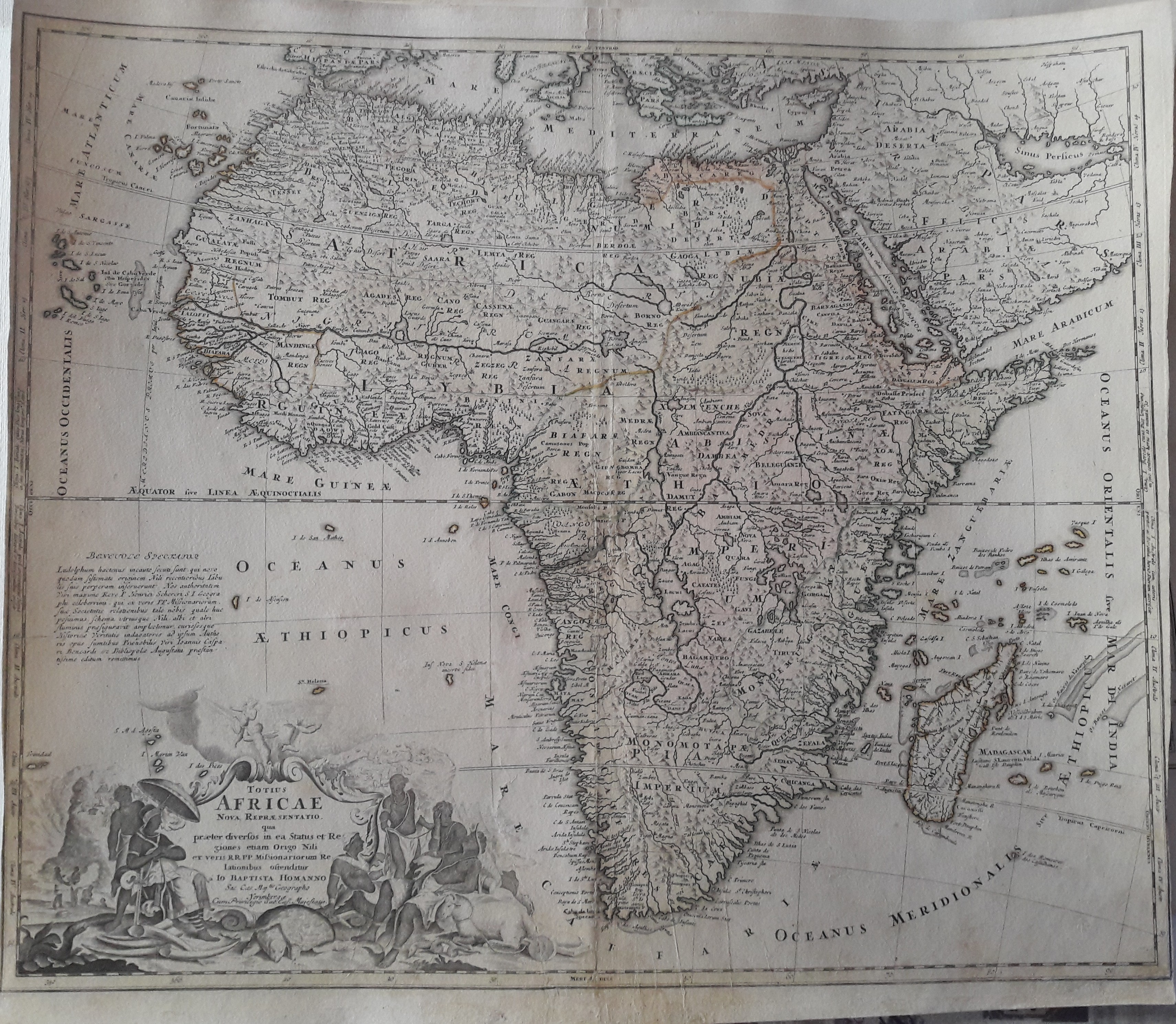
Map title
Totius Africae Nova Repraesentatio qua per diversos in ea Status et Regiones, etiam Origo Nili ex veris R.R.P.P. Missionariorum Relationibus ostenditur
Author
Homann
Location shown in map
Africa
Edition date
1720
Edition place
Nuremberg
Editor
--
Atlas
--
Price
300 Euro
State
[mint/excellent/very good/good/FAIR/mediocre/poor]
Color
Old color
Verso
Blank
Size
Plate: cm (55.9 x 48.3) inches (22.01 x 19.02) Paper: cm (57.2 x 50.8) inches (22.52 x 20)
Technique
Copper engraving
Note
Some professional repaired tears. Missing rigth bottom corner 2mm
Reference
--
Wiki
Here for more info
In stock
Available
Info
info@thetreasuremaps.com
Code
#0327
×
![]()
Map title
Mappamondo
Author
Unknown
Location shown in map
World
Edition date
1720
Edition place
--
Editor
--
Atlas
--
Price
Please ask: info@thetreasuremaps.com
State
[mint/EXCELLENT/very good/good/fair/mediocre/poor]
Color
Black/white
Verso
Size
Plate: cm (17.8 x 14) inches (7.01 x 5.51) Paper: cm (20.3 x 15.2) inches (7.99 x 5.98)
Technique
Copper engraving
Note
--
Reference
--
Wiki
Here for more info
In stock
Available
Info
info@thetreasuremaps.com
Code
#0337
×
![]()
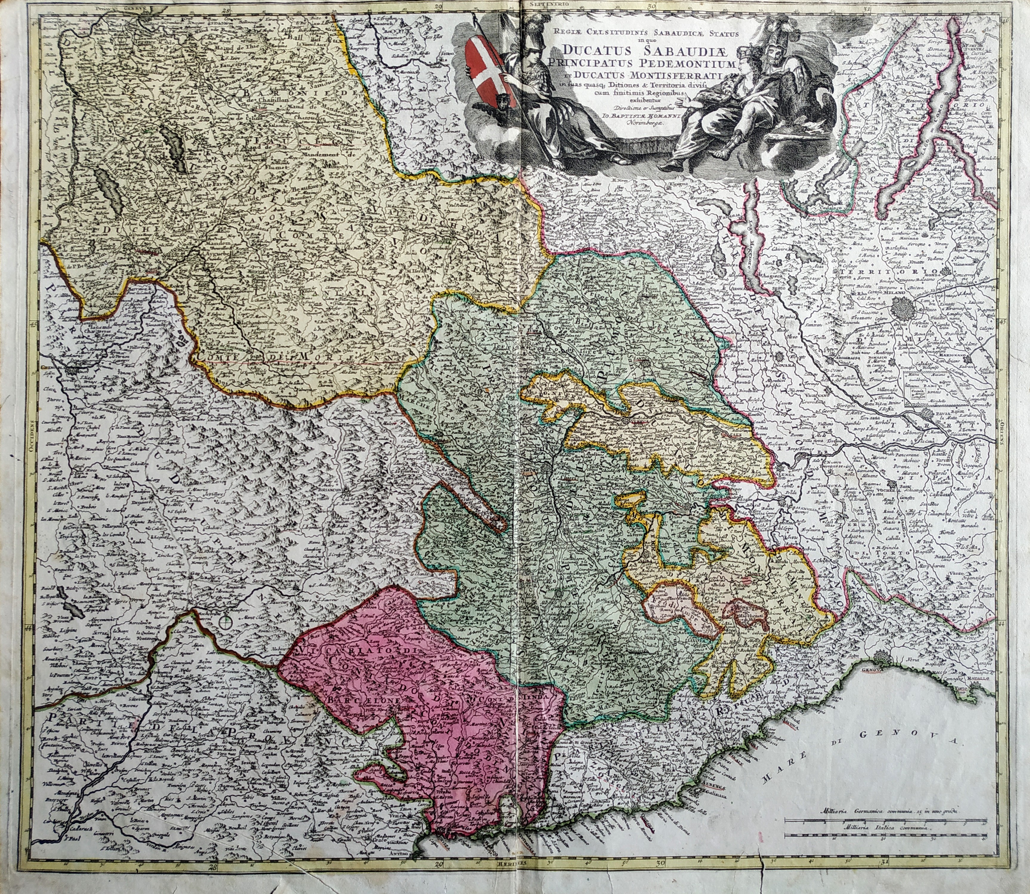
Map title
Regiae celsitudinis Sabaudiciae statu in quo Ducatus Sabaudiae Principatus Pedemontium et Ducatus Montisferrati
Author
Homann
Location shown in map
North-West Italy
Edition date
1720
Edition place
Nuremberg
Editor
--
Atlas
--
Price
Please ask: info@thetreasuremaps.com
State
[mint/excellent/very good/GOOD/fair/mediocre/poor]
Color
Old color
Verso
Blank
Size
Plate: cm (55.9 x 49.5) inches (22.01 x 19.49) Paper: cm (58.4 x 52.1) inches (22.99 x 20.51)
Technique
Copper engraving
Note
Some professional repaired tears. Missing left bottom corner 2mm
Reference
--
Wiki
Here for more info
In stock
Sold
Info
info@thetreasuremaps.com
Code
#0444
×
![]()
Map title
Ducatus Sabaudiae Principatus Pedemontium et Ducatus Montisferratis
Author
Homann
Location shown in map
Piedmont
Edition date
1720
Edition place
Nuremberg
Editor
--
Atlas
--
Price
350 Euro
State
[mint/excellent/VERY GOOD/good/fair/mediocre/poor]
Color
Old colors
Verso
Blank
Size
Plate: cm (55.9 x 48.3) inches (22.01 x 19.02) Paper: cm (61 x 50.8) inches (24.02 x 20)
Technique
Copper engraving
Note
--
Reference
--
Wiki
Here for more info
In stock
Available
Info
info@thetreasuremaps.com
Code
#0510
×
![]()
Map title
L'Europa secondo il sig. dell'Isle dell'accademia reale delle scienze
Author
Delisle
Location shown in map
Europe
Edition date
1720
Edition place
Venice
Editor
Baglioni
Atlas
La scienza delle persone di corte, di spada e di toga.
Price
125 Euro
State
[mint/EXCELLENT/very good/good/fair/mediocre/poor]
Color
Black/white
Verso
Blank
Size
Plate: cm (16.5 x 14) inches (6.5 x 5.51) Paper: cm (20.3 x 16.5) inches (7.99 x 6.5)
Technique
Copper engraving
Note
No particular notes for this maps.
Reference
--
Wiki
Here for more info
In stock
Available
Info
info@thetreasuremaps.com
Code
#0555
×
![]()
Map title
Italia iam Tota Principes in suas Partes, Accuratius Distincta...
Author
Schenk
Location shown in map
Italy
Edition date
1720
Edition place
Amsterdam
Editor
Schenk
Atlas
Atlas Contractus Sive Mapparum Geographicarum Sansoniarum Auctarum et Correctarum Nova Congeries
Price
600 Euro
State
[mint/EXCELLENT/very good/good/fair/mediocre/poor]
Color
Old colors
Verso
Blank
Size
Plate: cm (55 x 48) inches (21.65 x 18.9) Paper: cm (60 x 52) inches (23.62 x 20.47)
Technique
Copper engraving
Note
Reference
R.Borri L'Italia nelle antiche carte pag.179
Wiki
Here for more info
In stock
Available
Info
info@thetreasuremaps.com
Code
#0851
×
![]()
Map title
L'America Setten.
Author
Delisle
Location shown in map
North America
Edition date
Circa 1720
Edition place
Editor
Atlas
Price
Please ask: info@thetreasuremaps.com
State
[mint/EXCELLENT/very good/good/fair/mediocre/poor]
Color
Black/white
Verso
Blank
Size
Plate: cm (17 x 14) inches (6.69 x 5.51) Paper: cm (18 x 16) inches (7.09 x 6.3)
Technique
Copper engraving
Note
Reference
Wiki
Here for more info
In stock
Available
Info
info@thetreasuremaps.com
Code
#0940
×
![]()
Map title
Danubii Fluminis
Author
Homann
Location shown in map
North Italy
Edition date
1720
Edition place
Nurnberg
Editor
Atlas
Price
400 Euro
State
[mint/EXCELLENT/very good/good/fair/mediocre/poor]
Color
Old colors
Verso
Blank
Size
Plate: cm (55 x 47) inches (21.65 x 18.5) Paper: cm (62 x 52) inches (24.41 x 20.47)
Technique
Copper engraving
Note
Reference
Wiki
Here for more info
In stock
Available
Info
info@thetreasuremaps.com
Code
#1085
×
![]()
Map title
Ducatus Sabaudiae Principatus Pedemontium et Ducatus Montisferratis
Author
Homann
Location shown in map
Piedmont
Edition date
Circa 1720
Edition place
Nuremberg
Editor
--
Atlas
--
Price
350 Euro
State
[mint/excellent/VERY GOOD/good/fair/mediocre/poor]
Color
Old colors
Verso
Blank
Size
Plate: cm (55.9 x 48.3) inches (22.01 x 19.02) Paper: cm (61 x 50.8) inches (24.02 x 20)
Technique
Copper engraving
Note
Framed
Reference
--
Wiki
Here for more info
In stock
Available
Info
info@thetreasuremaps.com
Code
#1098
×
![]()
Map title
Ducatus Mediolani
Author
Homann
Location shown in map
Liguria
Edition date
Circa 1720
Edition place
Nuremberg
Editor
--
Atlas
--
Price
350 Euro
State
[mint/excellent/VERY GOOD/good/fair/mediocre/poor]
Color
Old colors
Verso
Blank
Size
Plate: cm (0 x 0) inches (0 x 0) Paper: cm (0 x 0) inches (0 x 0)
Technique
Copper engraving
Note
Framed
Reference
--
Wiki
Here for more info
In stock
Available
Info
info@thetreasuremaps.com
Code
#1099
×
![]()
Map title
Mappamondo o sia carta generale del Globo Terrestre
Author
Sanson
Location shown in map
World
Edition date
Circa 1720
Edition place
Editor
Atlas
Price
200 Euro
State
[mint/excellent/VERY GOOD/good/fair/mediocre/poor]
Color
Black/white
Verso
Blank
Size
Plate: cm (16.5 x 14) inches (6.5 x 5.51) Paper: cm (21 x 19) inches (8.27 x 7.48)
Technique
Copper engraving
Note
Reference
--
Wiki
Here for more info
In stock
Available
Info
info@thetreasuremaps.com
Code
#1139
×
![]()
Map title
America Settentrional
Author
Sanson
Location shown in map
North America
Edition date
Circa 1720
Edition place
Editor
Atlas
Price
250 Euro
State
[mint/EXCELLENT/very good/good/fair/mediocre/poor]
Color
Black/white
Verso
Blank
Size
Plate: cm (16.5 x 15) inches (6.5 x 5.91) Paper: cm (24 x 19) inches (9.45 x 7.48)
Technique
Copper engraving
Note
California as an island
Reference
--
Wiki
Here for more info
In stock
Available
Info
info@thetreasuremaps.com
Code
#1140
×
![]()
Map title
Africa
Author
Sanson
Location shown in map
Africa
Edition date
Circa 1720
Edition place
Editor
Atlas
Price
125 Euro
State
[mint/EXCELLENT/very good/good/fair/mediocre/poor]
Color
Black/white
Verso
Blank
Size
Plate: cm (16.5 x 15) inches (6.5 x 5.91) Paper: cm (21 x 19) inches (8.27 x 7.48)
Technique
Copper engraving
Note
Reference
--
Wiki
Here for more info
In stock
Available
Info
info@thetreasuremaps.com
Code
#1141
Africa
Author
Sanson
Location shown in map
Africa
Edition date
Circa 1720
Edition place
Editor
Atlas
Price
125 Euro
State
[mint/EXCELLENT/very good/good/fair/mediocre/poor]
Color
Black/white
Verso
Blank
Size
Plate: cm (16.5 x 15) inches (6.5 x 5.91) Paper: cm (21 x 19) inches (8.27 x 7.48)
Technique
Copper engraving
Note
Reference
--
Wiki
Here for more info
In stock
Available
Info
info@thetreasuremaps.com
Code
#1141
×
![]()
Map title
America Meridionale
Author
Sanson
Location shown in map
South America
Edition date
Circa 1720
Edition place
Editor
Atlas
Price
100 Euro
State
[mint/excellent/VERY GOOD/good/fair/mediocre/poor]
Color
Black/white
Verso
Blank
Size
Plate: cm (16.5 x 15) inches (6.5 x 5.91) Paper: cm (25 x 19) inches (9.84 x 7.48)
Technique
Copper engraving
Note
Reference
--
Wiki
Here for more info
In stock
Available
Info
info@thetreasuremaps.com
Code
#1142
×
![]()
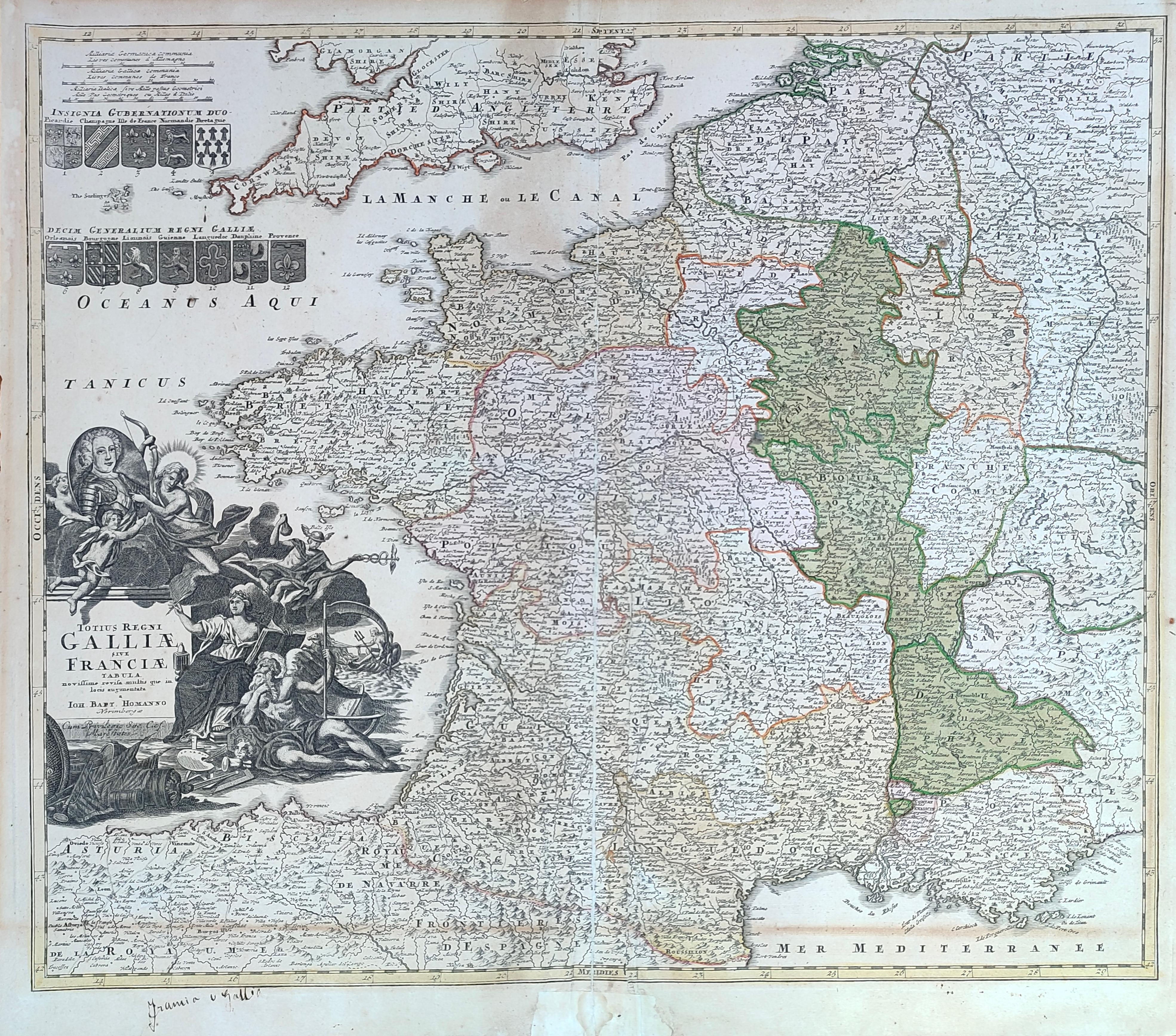
Map title
Totius regni Galliae sive Franciae tabula
Author
Homann
Location shown in map
France
Edition date
Circa 1720
Edition place
Nurimberg
Editor
--
Atlas
Price
200 Euro
State
[mint/excellent/VERY GOOD/good/fair/mediocre/poor]
Color
Old colors
Verso
Blank
Size
Plate: cm (58 x 48) inches (22.83 x 18.9) Paper: cm (59 x 52) inches (23.23 x 20.47)
Technique
Copper engraving
Note
Reference
Wiki
Here for more info
In stock
Available
Info
info@thetreasuremaps.com
Code
#1281
×
![]()
Map title
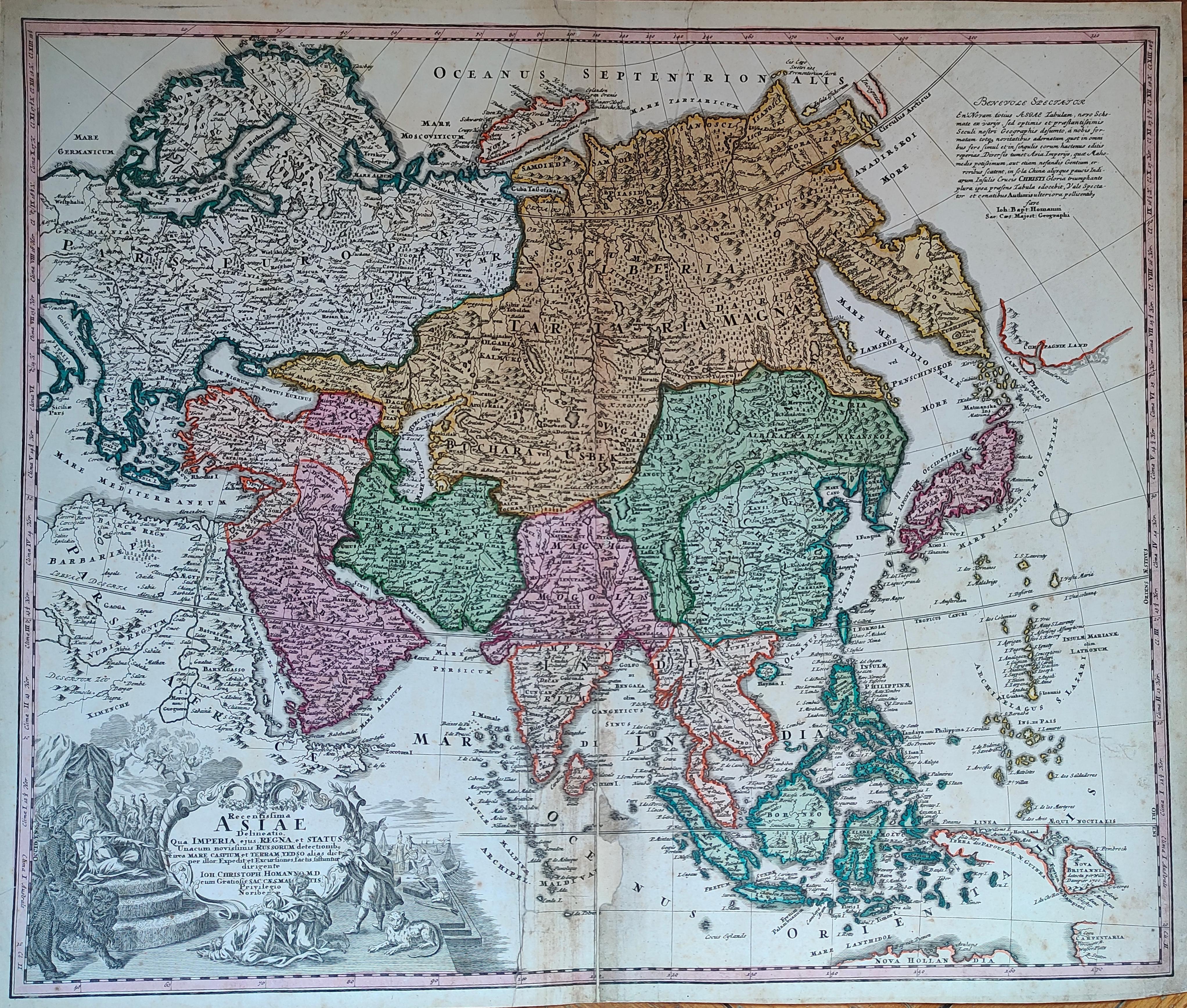
Asiae Recentissima Delineatio Qua Status et Imperia Totius Orientis unacum Orientalibus Indiis
Author
Homann
Location shown in map
Asia
Edition date
Circa 1720
Edition place
Nurimberg
Editor
--
Atlas
Price
400 Euro
State
[mint/excellent/VERY GOOD/good/fair/mediocre/poor]
Color
Old colors
Verso
Blank
Size
Plate: cm (58 x 48) inches (22.83 x 18.9) Paper: cm (59 x 52) inches (23.23 x 20.47)
Technique
Copper engraving
Note
Reference
Wiki
Here for more info
In stock
Available
Info
info@thetreasuremaps.com
Code
#1282
×
![]()
Map title
Isle de Ladrones
Author
Unknown
Location shown in map
Marianne island
Edition date
Circa 1722
Edition place
Amsterdam
Editor
F.Bernard
Atlas
Recueil des voyages qui ont servi a ...
Price
150 Euro
State
[MINT/excellent/very good/good/fair/mediocre/poor]
Color
Black/white
Verso
Blank
Size
Plate: cm (20.3 x 15.2) inches (7.99 x 5.98) Paper: cm (22.9 x 15.2) inches (9.02 x 5.98)
Technique
Copper engraving
Note
--
Reference
--
Wiki
Here for more info
In stock
Available
Info
info@thetreasuremaps.com
Code
#0593
×
![]()
Map title
Author
Location shown in map
South Italy
Edition date
Circa 1723
Edition place
Editor
Atlas
Opera omnia medico pratica
Price
150 Euro
State
[mint/EXCELLENT/very good/good/fair/mediocre/poor]
Color
Black/white
Verso
Size
Plate: cm (13 x 20) inches (5.12 x 7.87) Paper: cm (13 x 20) inches (5.12 x 7.87)
Technique
Copper engraving
Note
Framed
Reference
Wiki
Here for more info
In stock
Available
Info
info@thetreasuremaps.com
Code
#1114
×
![]()
Map title
Trino
Author
Blaeu
Location shown in map
Trino
Edition date
1725
Edition place
Paris
Editor
Le Haye
Atlas
Theatrum statuum regiae celsitudinis Sabaudiae
Price
Please ask: info@thetreasuremaps.com
State
[mint/EXCELLENT/very good/good/fair/mediocre/poor]
Color
Black/white
Verso
Blank
Size
Plate: cm (58.4 x 50.8) inches (22.99 x 20) Paper: cm (68.6 x 55.9) inches (27.01 x 22.01)
Technique
Copper engraving
Note
No particular notes for this maps.
Reference
--
Wiki
Here for more info
In stock
Available
Info
info@thetreasuremaps.com
Code
#0578
Trino
Author
Blaeu
Location shown in map
Trino
Edition date
1725
Edition place
Paris
Editor
Le Haye
Atlas
Theatrum statuum regiae celsitudinis Sabaudiae
Price
Please ask: info@thetreasuremaps.com
State
[mint/EXCELLENT/very good/good/fair/mediocre/poor]
Color
Black/white
Verso
Blank
Size
Plate: cm (58.4 x 50.8) inches (22.99 x 20) Paper: cm (68.6 x 55.9) inches (27.01 x 22.01)
Technique
Copper engraving
Note
No particular notes for this maps.
Reference
--
Wiki
Here for more info
In stock
Available
Info
info@thetreasuremaps.com
Code
#0578
×
![]()
Map title
Asia Vetus
Author
Weigel
Location shown in map
Asia
Edition date
1725
Edition place
Nuremberg
Editor
--
Atlas
--
Price
200 Euro
State
[mint/excellent/VERY GOOD/good/fair/mediocre/poor]
Color
Old colors
Verso
Blank
Size
Plate: cm (38.1 x 30.5) inches (15 x 12.01) Paper: cm (45.7 x 35.6) inches (17.99 x 14.02)
Technique
Copper engraving
Note
--
Reference
--
Wiki
Here for more info
In stock
Available
Info
info@thetreasuremaps.com
Code
#0601
×
![]()
Map title
L' Asia
Author
Sanson
Location shown in map
Asia
Edition date
Circa 1725
Edition place
Venice
Editor
Atlas
Price
125 Euro
State
[mint/EXCELLENT/very good/good/fair/mediocre/poor]
Color
Black/white
Verso
Blank
Size
Plate: cm (17 x 17) inches (6.69 x 6.69) Paper: cm (16 x 14) inches (6.3 x 5.51)
Technique
Copper engraving
Note
Reference
Wiki
Here for more info
In stock
Available
Info
info@thetreasuremaps.com
Code
#1190
×
![]()
Map title
Tabula Italiae medii evi
Author
Giovanni Giacomo Spinelli
Location shown in map
Italy
Edition date
1727
Edition place
Venice
Editor
Atlas
Price
1000 Euro
State
[mint/EXCELLENT/very good/good/fair/mediocre/poor]
Color
Black/white
Verso
Blank
Size
Plate: cm (74 x 51) inches (29.13 x 20.08) Paper: cm (73 x 50) inches (28.74 x 19.69)
Technique
Copper engraving
Note
First italian engraved map by a woman
Reference
R.Borri L'Italia nelle antiche carte pag.216
Wiki
Here for more info
In stock
Available
Info
info@thetreasuremaps.com
Code
#1056
×
![]()
Map title
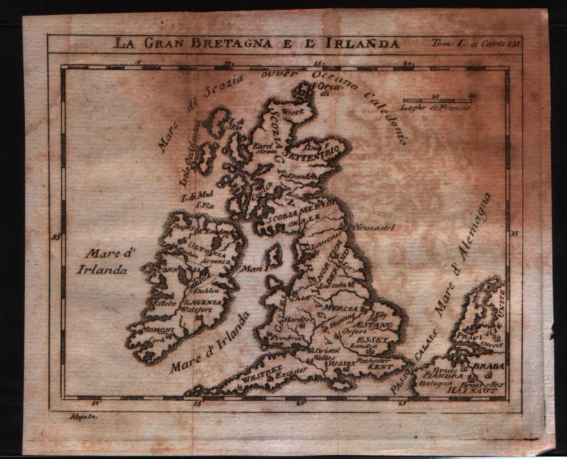
La Gran Bretagna e l'Irlanda
Author
Unknown
Location shown in map
British Isles
Edition date
1730
Edition place
???
Editor
--
Atlas
--
Price
125 Euro
State
[mint/excellent/VERY GOOD/good/fair/mediocre/poor]
Color
Black/white
Verso
Blank
Size
Plate: cm (15.2 x 12.7) inches (5.98 x 5) Paper: cm (18.4 x 15.9) inches (7.24 x 6.26)
Technique
Copper engraving
Note
No particular notes for this maps
Reference
--
Wiki
Here for more info
In stock
Available
Info
info@thetreasuremaps.com
Code
#0145
×
![]()
Map title
Bohemia regnum
Author
Seutter, Matthaus
Location shown in map
Bohemia
Edition date
1730
Edition place
Augsburg
Editor
--
Atlas
--
Price
Please ask: info@thetreasuremaps.com
State
[mint/excellent/very good/GOOD/fair/mediocre/poor]
Color
Old color
Verso
Blank
Size
Plate: cm (55.9 x 49.5) inches (22.01 x 19.49) Paper: cm (58.4 x 52.1) inches (22.99 x 20.51)
Technique
Copper engraving
Note
No particular notes for this maps
Reference
--
Wiki
Here for more info
In stock
Available
Info
info@thetreasuremaps.com
Code
#0148
×
![]()
Map title
Nuova carta del ducato di Brabante,Limburgo e della Geldria super.re
Author
Unknown
Location shown in map
Luxembourg
Edition date
1730
Edition place
Amsterdam
Editor
--
Atlas
Nieuwe en beknopte hand-atlas.
Price
Please ask: info@thetreasuremaps.com
State
[mint/excellent/VERY GOOD/good/fair/mediocre/poor]
Color
Old outlined
Verso
Blank
Size
Plate: cm (33 x 27.9) inches (12.99 x 10.98) Paper: cm (38.1 x 30.5) inches (15 x 12.01)
Technique
Copper engraving
Note
No particular notes for this maps
Reference
--
Wiki
Here for more info
In stock
Sold
Info
info@thetreasuremaps.com
Code
#0150
×
![]()
Map title
Ducatus Mediolanensis cum adjacentibus principat. et dominii
Author
Seutter, Matthaus
Location shown in map
Mediolanum Ducatus, North west Italy
Edition date
1730
Edition place
Augsburg
Editor
--
Atlas
Atlas Minor
Price
Please ask: info@thetreasuremaps.com
State
[mint/excellent/VERY GOOD/good/fair/mediocre/poor]
Color
Old color
Verso
Blank
Size
Plate: cm (25.4 x 19) inches (10 x 7.48) Paper: cm (29.2 x 21.6) inches (11.5 x 8.5)
Technique
Copper engraving
Note
No particular notes for this maps
Reference
--
Wiki
Here for more info
In stock
Sold
Info
info@thetreasuremaps.com
Code
#0425
×
![]()
Map title
Novus Orbis sive America Meridionalis et Septentrionalis
Author
Seutter, Matthaus
Location shown in map
North and south America
Edition date
1730
Edition place
Augsburg
Editor
--
Atlas
--
Price
1300 Euro
State
[mint/EXCELLENT/very good/good/fair/mediocre/poor]
Color
Old color
Verso
Blank
Size
Plate: cm (55.9 x 41.9) inches (22.01 x 16.5) Paper: cm (62.2 x 52.1) inches (24.49 x 20.51)
Technique
Copper engraving
Note
No particular notes for this maps
Reference
--
Wiki
Here for more info
In stock
Available
Info
info@thetreasuremaps.com
Code
#0541
×
![]()
Map title
Nova et Exactissima Totius Italiae Sardiniae et Corsicae Delineatio
Author
Seutter, Matthaus
Location shown in map
Italy
Edition date
Circa 1730
Edition place
Augsburg
Editor
--
Atlas
Atlas Novus sive Tabulae Geographicae totius orbis faciem, partes, imperia, regna et provincias exhibentes exactissima cura iuxta recontissimas observation
Price
Please ask: info@thetreasuremaps.com
State
[mint/EXCELLENT/very good/good/fair/mediocre/poor]
Color
Old color
Verso
Blank
Size
Plate: cm (57 x 49) inches (22.44 x 19.29) Paper: cm (62.2 x 54) inches (24.49 x 21.26)
Technique
Copper engraving
Note
Reference
R.Borri L'Italia nelle antiche carte pag.193
Wiki
Here for more info
In stock
Available
Info
info@thetreasuremaps.com
Code
#0820
×
![]()
Map title
L'Italia con le sue Poste e strade principali
Author
Cantelli da Vignola
Location shown in map
Italy
Edition date
Circa 1730
Edition place
Augsburg
Editor
Seutter
Atlas
Price
500 Euro
State
[mint/excellent/very good/GOOD/fair/mediocre/poor]
Color
Old colors
Verso
Blank
Size
Plate: cm (57 x 49) inches (22.44 x 19.29) Paper: cm (64 x 56) inches (25.2 x 22.05)
Technique
Copper engraving
Note
Reference
R.Borri L'Italia nelle antiche carte pag.191
Wiki
Here for more info
In stock
Available
Info
info@thetreasuremaps.com
Code
#1167
×
![]()
Map title
Arabia Petraea et Deserta
Author
Unknown
Location shown in map
Israel and Arabia
Edition date
1732
Edition place
Leipzig
Editor
--
Atlas
Geographia Antiqua
Price
Please ask: info@thetreasuremaps.com
State
[mint/EXCELLENT/very good/good/fair/mediocre/poor]
Color
Black/white
Verso
Blank
Size
Plate: cm (30.5 x 20.3) inches (12.01 x 7.99) Paper: cm (36.8 x 24.1) inches (14.49 x 9.49)
Technique
Copper engraving
Note
No particular notes for this maps
Reference
--
Wiki
Here for more info
In stock
Sold
Info
info@thetreasuremaps.com
Code
#0221
×
![]()
Map title
America Meridionalis
Author
Henri du Sauzet
Location shown in map
South America
Edition date
1734
Edition place
Amsterdam
Editor
Henri du Sauzet
Atlas
Atlas Portatif
Price
300 Euro
State
[MINT/excellent/very good/good/fair/mediocre/poor]
Color
Black/white
Verso
Blank
Size
Plate: cm (25 x 18) inches (9.84 x 7.09) Paper: cm (37 x 25) inches (14.57 x 9.84)
Technique
Copper engraving
Note
No particular notes for this maps.
Reference
--
Wiki
Here for more info
In stock
Available
Info
info@thetreasuremaps.com
Code
#0702
×
![]()
Map title
Le cours du po dans le Piemont et le Monferrat
Author
Placide de Sainte-Helene
Location shown in map
North-West Italy
Edition date
1734
Edition place
Amsterdam
Editor
Atlas
Price
250 Euro
State
[mint/EXCELLENT/very good/good/fair/mediocre/poor]
Color
Black/white
Verso
Blank
Size
Plate: cm (50 x 41) inches (19.69 x 16.14) Paper: cm (65 x 52) inches (25.59 x 20.47)
Technique
Copper engraving
Note
Reference
Wiki
Here for more info
In stock
Available
Info
info@thetreasuremaps.com
Code
#1084
×
![]()

Map title
Cursus Fluminis Padi vel Po per Longobardiam
Author
Homann
Location shown in map
Liguria
Edition date
1735
Edition place
Editor
Atlas
Atlas compendiarius
Price
300 Euro
State
[mint/EXCELLENT/very good/good/fair/mediocre/poor]
Color
Old colors
Verso
Blank
Size
Plate: cm (60 x 54) inches (23.62 x 21.26) Paper: cm (58 x 50) inches (22.83 x 19.69)
Technique
Copper engraving
Note
Reference
Wiki
Here for more info
In stock
Available
Info
info@thetreasuremaps.com
Code
#1228
×
![]()
Map title
Nova totius Italiae
Author
Seutter
Location shown in map
Italy
Edition date
Circa 1735
Edition place
Augsburg
Editor
Atlas
Atlas Novus sive Tabulae Geographicae totius orbis faciem, partes, imperia, regna et provincias exhibentes exactissima cura iuxta recontissimas observation
Price
500 Euro
State
[mint/EXCELLENT/very good/good/fair/mediocre/poor]
Color
Old colors
Verso
Blank
Size
Plate: cm (57 x 49) inches (22.44 x 19.29) Paper: cm (60 x 53) inches (23.62 x 20.87)
Technique
Copper engraving
Note
Reference
R.Borri L'Italia nelle antiche carte pag.195
Wiki
Here for more info
In stock
Available
Info
info@thetreasuremaps.com
Code
#1258
×
![]()
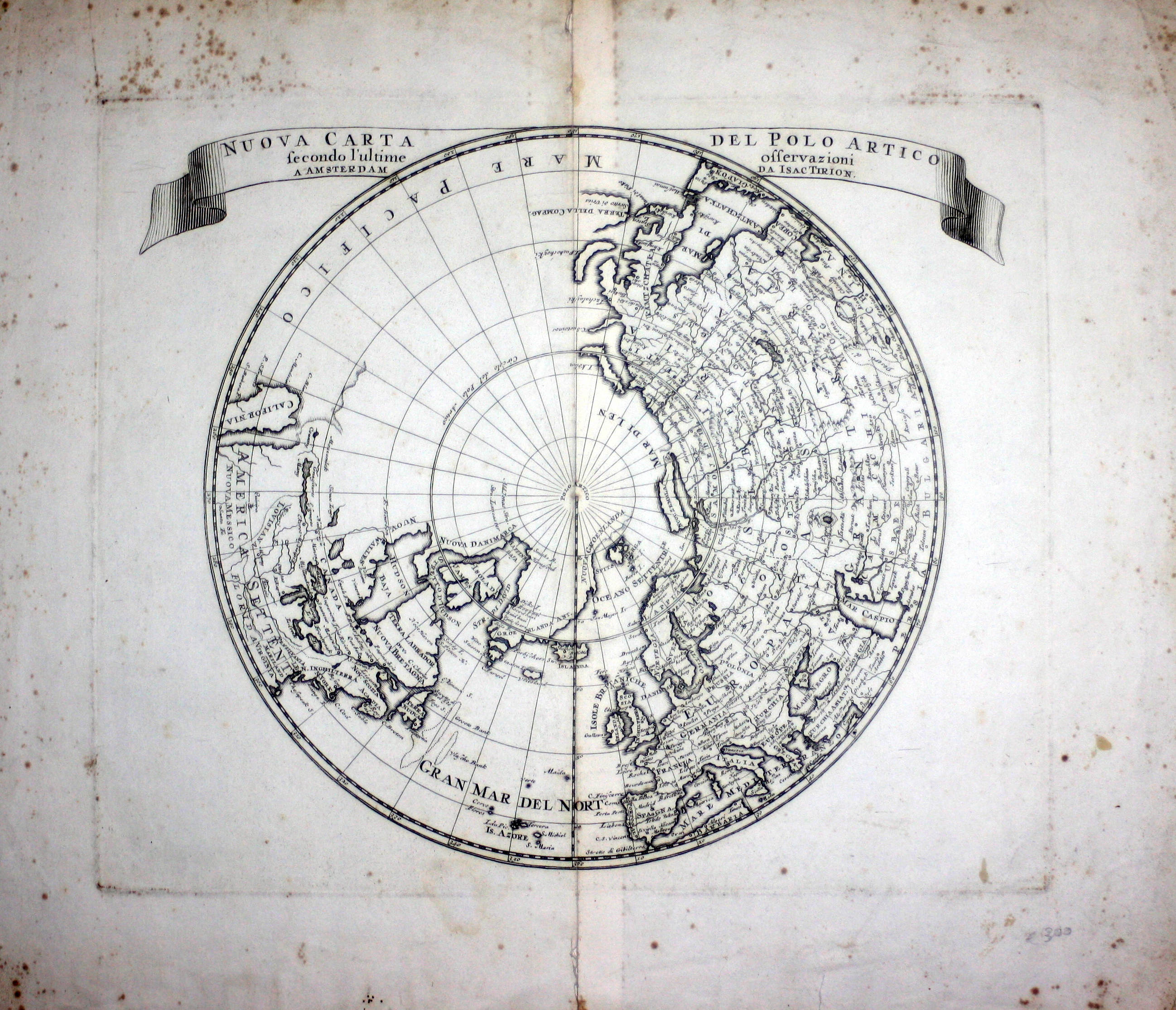
Map title
Nuova Carta Del Polo Artico secondo l'ultime osservazioni a Amsterdam da Isac Tirion
Author
Tirion
Location shown in map
Polar Arctic Regions
Edition date
1736
Edition place
Amsterdam
Editor
--
Atlas
--
Price
300 Euro
State
mint/excellent/VERY GOOD/good/fair/mediocre/poor]
Color
Black/white
Verso
Blank
Size
Plate: cm (35.6 x 30.5) inches (14.02 x 12.01) Paper: cm (45.7 x 38.1) inches (17.99 x 15)
Technique
Copper engraving
Note
California as an island
Reference
--
Wiki
Here for more info
In stock
Available
Info
info@thetreasuremaps.com
Code
#0329
×
![]()
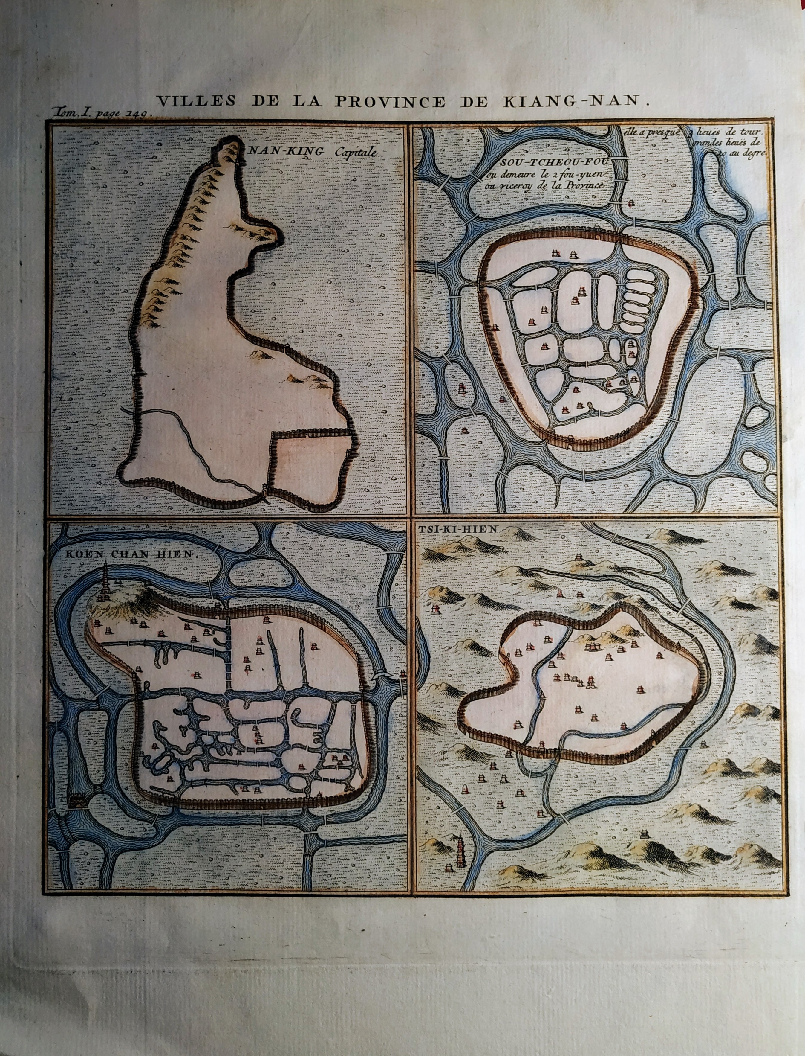
Map title
Villes de la Province de Kiang-Nan
Author
Henri Scheurleer
Location shown in map
Jangsung
Edition date
1736
Edition place
The Haugue
Editor
Atlas
Description de la Chine
Price
50 Euro
State
[mint/EXCELLENT/very good/good/fair/mediocre/poor]
Color
Old colors
Verso
Blank
Size
Plate: cm (17 x 19) inches (6.69 x 7.48) Paper: cm (20 x 26) inches (7.87 x 10.24)
Technique
Copper engraving
Note
No particular notes for this maps
Reference
Wiki
Here for more info
In stock
Available
Info
info@thetreasuremaps.com
Code
#0704
×
![]()
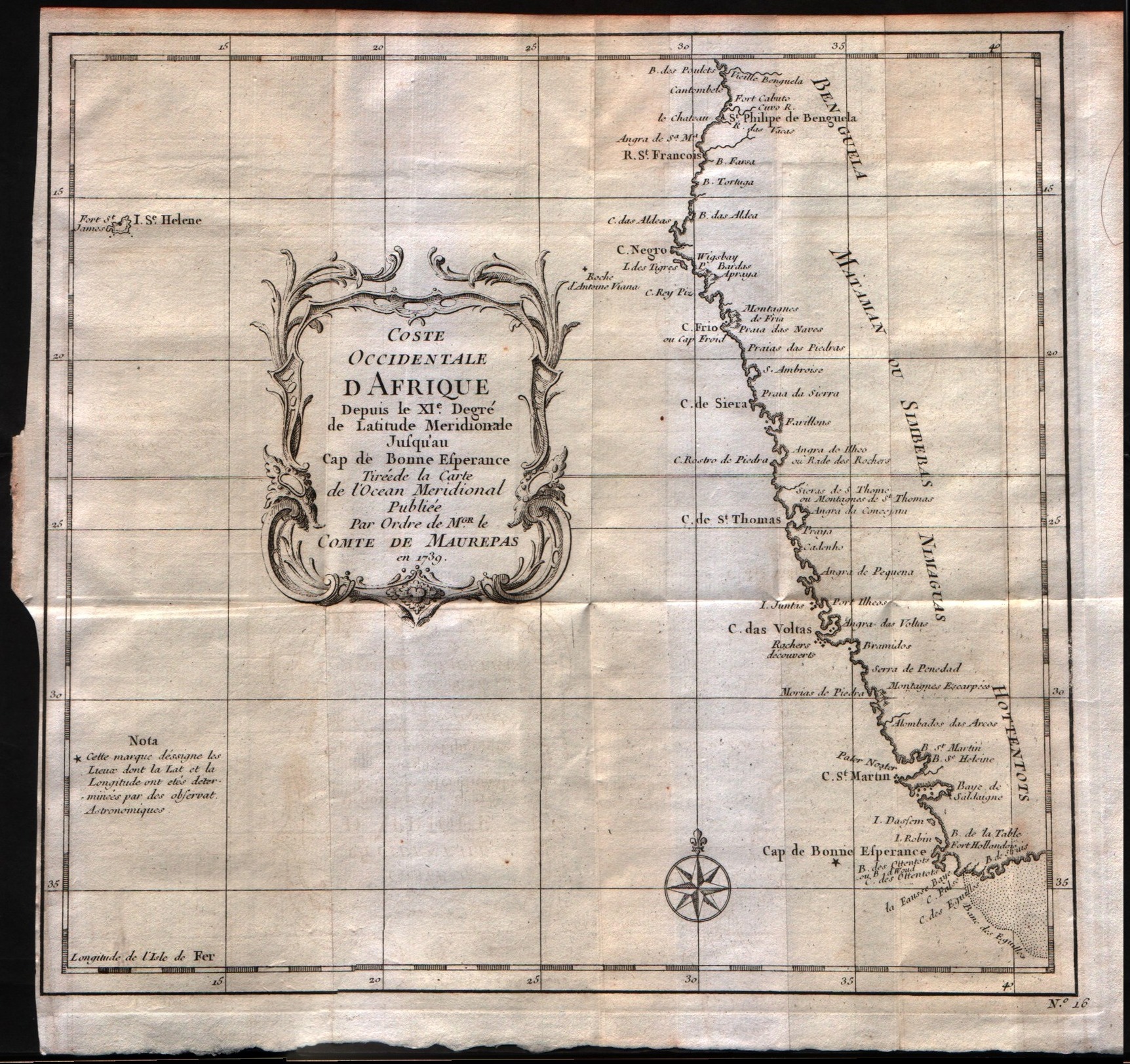
Map title
Costa occidentale d'Affrica dal XI grado di latitudine settentrionale sino al capo di Buona Speranza.
Author
Bellin
Location shown in map
West Africa
Edition date
1739
Edition place
--
Editor
--
Atlas
--
Price
Please ask: info@thetreasuremaps.com
State
[mint/excellent/VERY GOOD/good/fair/mediocre/poor]
Color
Black/white
Verso
Blank
Size
Plate: cm (25.4 x 22.9) inches (10 x 9.02) Paper: cm (26.7 x 25.4) inches (10.51 x 10)
Technique
Copper engraving
Note
The map is signed as to be printed by an order of Conte di Maurepas.
Reference
--
Wiki
Here for more info
In stock
Available
Info
info@thetreasuremaps.com
Code
#0299
×
![]()
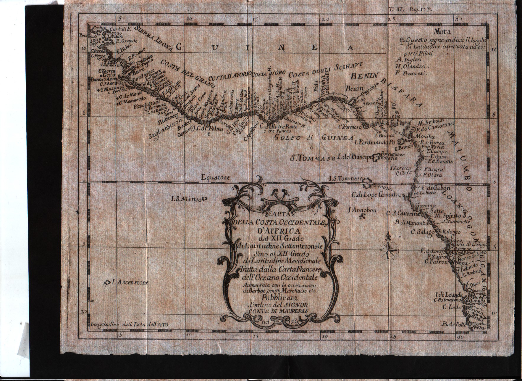
Map title
Carta della costa occidentale d'Affrica dal XII grado di latitudine settentrionale sino al XII grado di latitudine meridionale.
Author
Bellin
Location shown in map
West Africa
Edition date
1739
Edition place
--
Editor
--
Atlas
--
Price
100 Euro
State
[mint/excellent/VERY GOOD/good/fair/mediocre/poor]
Color
Black/white
Verso
Blank
Size
Plate: cm (24.1 x 19) inches (9.49 x 7.48) Paper: cm (26 x 21) inches (10.24 x 8.27)
Technique
Copper engraving
Note
The map is signed as to be printed by an order of Conte di Maurepas.
Reference
--
Wiki
Here for more info
In stock
Available
Info
info@thetreasuremaps.com
Code
#0451
×
![]()
Map title
Nuova carta della Tartaria
Author
Tirion
Location shown in map
East Asia
Edition date
1740
Edition place
Amsterdam
Editor
--
Atlas
Atlante Novissimo. Giambattista Albrizzi
Price
150 Euro
State
[mint/excellent/VERY GOOD/good/fair/mediocre/poor]
Color
Black/white
Verso
Blank
Size
Plate: cm (33 x 27.9) inches (12.99 x 10.98) Paper: cm (48.3 x 38.1) inches (19.02 x 15)
Technique
Copper engraving
Note
No particular notes for this maps
Reference
--
Wiki
Here for more info
In stock
Available
Info
info@thetreasuremaps.com
Code
#0222
×
![]()
Map title
A view of Casal
Author
Paul de Rapin de Thoyras
Location shown in map
Casal
Edition date
1740
Edition place
London
Editor
Atlas
Price
Please ask: info@thetreasuremaps.com
State
[mint/EXCELLENT/very good/good/fair/mediocre/poor]
Color
Black/white
Verso
Blank
Size
Plate: cm (40 x 37) inches (15.75 x 14.57) Paper: cm (50 x 49) inches (19.69 x 19.29)
Technique
Copper engraving
Note
Reference
Wiki
Here for more info
In stock
Available
Info
info@thetreasuremaps.com
Code
#0785
×
![]()
Map title
Republicae Genuensis dominium
Author
Seutter
Location shown in map
Liguria
Edition date
1740
Edition place
Augsburg
Editor
Atlas
Atlas Novus sive Tabulae Geographicae totius orbis faciem, partes, imperia, regna et provincias exhibentes exactissima cura iuxta recontissimas observation
Price
500 Euro
State
[mint/excellent/VERY GOOD/good/fair/mediocre/poor]
Color
Old colors
Verso
Blank
Size
Plate: cm (58 x 48) inches (22.83 x 18.9) Paper: cm (67 x 54) inches (26.38 x 21.26)
Technique
Copper engraving
Note
Reference
Wiki
Here for more info
In stock
Available
Info
info@thetreasuremaps.com
Code
#0911
×
![]()
Map title
L'Italia con le sue Poste e strade principali
Author
Cantelli da Vignola
Location shown in map
Italy
Edition date
1740
Edition place
Venice
Editor
Bagozi
Atlas
Price
500 Euro
State
[mint/EXCELLENT/very good/good/fair/mediocre/poor]
Color
Black/white
Verso
Blank
Size
Plate: cm (55 x 44) inches (21.65 x 17.32) Paper: cm (57 x 46) inches (22.44 x 18.11)
Technique
Copper engraving
Note
Reference
R.Borri L'Italia nelle antiche carte pag.161
Wiki
Here for more info
In stock
Available
Info
info@thetreasuremaps.com
Code
#0990
×
![]()
Map title
Le colonie degli europei in America
Author
Ricciardo
Location shown in map
America
Edition date
1740
Edition place
Amsterdam
Editor
Francesco Ricciardo
Atlas
Lo spettacolo della natura esposto in varj trattati
Price
75 Euro
State
[mint/EXCELLENT/very good/good/fair/mediocre/poor]
Color
Black/white
Verso
Blank
Size
Plate: cm (7 x 14) inches (2.76 x 5.51) Paper: cm (12 x 18) inches (4.72 x 7.09)
Technique
Copper engraving
Note
Reference
Wiki
Here for more info
In stock
Available
Info
info@thetreasuremaps.com
Code
#1090
×
![]()
Map title
Carta accurata dell'impero del Giappone
Author
Tirion
Location shown in map
Japan
Edition date
Circa 1740
Edition place
Venice
Editor
--
Atlas
--
Price
300 Euro
State
MINT/excellent/very good/good/fair/mediocre/poor]
Color
Black/white
Verso
Blank
Size
Plate: cm (32 x 26) inches (12.6 x 10.24) Paper: cm (33 x 27) inches (12.99 x 10.63)
Technique
Copper engraving
Note
Framed
Reference
--
Wiki
Here for more info
In stock
Available
Info
info@thetreasuremaps.com
Code
#1126
×
![]()
Map title
Nuova carta dell'Asia
Author
Tirion
Location shown in map
Asia
Edition date
Circa 1740
Edition place
Venice
Editor
Albizzi
Atlas
Atlante novissimo
Price
250 Euro
State
[mint/excellent/VERY GOOD/good/fair/mediocre/poor]
Color
Black/white
Verso
Blank
Size
Plate: cm (43.2 x 33) inches (17.01 x 12.99) Paper: cm (48.3 x 36.8) inches (19.02 x 14.49)
Technique
Copper engraving
Note
Reference
--
Wiki
Here for more info
In stock
Available
Info
info@thetreasuremaps.com
Code
#1148
×
![]()
Map title
Italia in suos status divisa
Author
Homann
Location shown in map
Italy
Edition date
1742
Edition place
Nuremberg
Editor
Atlas
Price
350 Euro
State
[mint/EXCELLENT/very good/good/fair/mediocre/poor]
Color
Old colors
Verso
Blank
Size
Plate: cm (57 x 49) inches (22.44 x 19.29) Paper: cm (58 x 50) inches (22.83 x 19.69)
Technique
Copper engraving
Note
Framed
Reference
R.Borri L'Italia nelle antiche carte pag.221
Wiki
Here for more info
In stock
Available
Info
info@thetreasuremaps.com
Code
#1127
×
![]()
Map title
Italie
Author
Sanson
Location shown in map
Italy
Edition date
1743
Edition place
Amsterdam
Editor
--
Atlas
Introduction A L'Historie General Et Politique De L'Univeri
Price
Please ask: info@thetreasuremaps.com
State
[mint/EXCELLENT/very good/good/fair/mediocre/poor]
Color
Black/white
Verso
Blank
Size
Plate: cm (16.5 x 14) inches (6.5 x 5.51) Paper: cm (16.5 x 14) inches (6.5 x 5.51)
Technique
Copper engraving
Note
Reference
--
Wiki
Here for more info
In stock
Available
Info
info@thetreasuremaps.com
Code
#0151
×
![]()
Map title
Italie
Author
Sanson
Location shown in map
Italy
Edition date
1743
Edition place
Amsterdam
Editor
--
Atlas
Introduction A L'Historie General Et Politique De L'Univeri
Price
Please ask: info@thetreasuremaps.com
State
[mint/EXCELLENT/very good/good/fair/mediocre/poor]
Color
Black/white
Verso
Blank
Size
Plate: cm (16.5 x 14) inches (6.5 x 5.51) Paper: cm (16.5 x 14) inches (6.5 x 5.51)
Technique
Copper engraving
Note
Reference
--
Wiki
Here for more info
In stock
Available
Info
info@thetreasuremaps.com
Code
#0154
×
![]()
Map title
Carte generale de l'Alemagne
Author
Sanson
Location shown in map
Germany
Edition date
1743
Edition place
Amsterdam
Editor
--
Atlas
Introduction A L'Historie General Et Politique De L'Univeri
Price
Please ask: info@thetreasuremaps.com
State
[mint/EXCELLENT/very good/good/fair/mediocre/poor]
Color
Black/white
Verso
Blank
Size
Plate: cm (16.5 x 14) inches (6.5 x 5.51) Paper: cm (20.3 x 16.5) inches (7.99 x 6.5)
Technique
Copper engraving
Note
No particular notes for this maps
Reference
--
Wiki
Here for more info
In stock
Available
Info
info@thetreasuremaps.com
Code
#0155
×
![]()
Map title
L'Italie et ses isles circonvoisines Siclile, Sargaigne, Corse ...
Author
Sanson
Location shown in map
Italy
Edition date
1743
Edition place
Paris
Editor
Delahaye
Atlas
Price
500 Euro
State
[mint/excellent/VERY GOOD/good/fair/mediocre/poor]
Color
Old colors
Verso
Blank
Size
Plate: cm (52 x 68) inches (20.47 x 26.77) Paper: cm (54 x 75) inches (21.26 x 29.53)
Technique
Copper engraving
Note
Reference
R.Borri L'Italia nelle antiche carte pag.241
Wiki
Here for more info
In stock
Available
Info
info@thetreasuremaps.com
Code
#0854
×
![]()
Map title
Carta Geographica, la quale rappresenta lo Stato della Republica di Genova
Author
Homann
Location shown in map
Liguria
Edition date
1743
Edition place
Nuremberg
Editor
Atlas
Price
900 Euro
State
[mint/EXCELLENT/very good/good/fair/mediocre/poor]
Color
Old colors
Verso
Blank
Size
Plate: cm (56 x 50) inches (22.05 x 19.69) Paper: cm (63 x 52) inches (24.8 x 20.47)
Technique
Copper engraving
Note
Reference
Wiki
Here for more info
In stock
Available
Info
info@thetreasuremaps.com
Code
#1198
×
![]()
Map title
Ducatus Sabaudiae
Author
Seutter, Matthaus
Location shown in map
Piedmont
Edition date
1744
Edition place
Augsburg
Editor
--
Atlas
Atlas Minor
Price
Please ask: info@thetreasuremaps.com
State
[mint/excellent/very good/GOOD/fair/mediocre/poor]
Color
Old color
Verso
Blank
Size
Plate: cm (25.4 x 19) inches (10 x 7.48) Paper: cm (29.2 x 21.6) inches (11.5 x 8.5)
Technique
Copper engraving
Note
No particular notes for this maps
Reference
--
Wiki
Here for more info
In stock
Sold
Info
info@thetreasuremaps.com
Code
#0424
×
![]()
Map title
Diversi Globi Terr-Aquei
Author
Seutter, Matthaus
Location shown in map
World
Edition date
1744
Edition place
Augsburg
Editor
--
Atlas
Atlas Minor
Price
600 Euro
State
[mint/excellent/VERY GOOD/good/fair/mediocre/poor]
Color
Old color
Verso
Blank
Size
Plate: cm (25.4 x 19) inches (10 x 7.48) Paper: cm (29.2 x 21.6) inches (11.5 x 8.5)
Technique
Copper engraving
Note
Professionally rapaired
Reference
--
Wiki
Here for more info
In stock
Available
Info
info@thetreasuremaps.com
Code
#0742
×
![]()
Map title
Nieuwe kaart van Italie
Author
Tirion
Location shown in map
Italy
Edition date
1744
Edition place
Amsterdam
Editor
Atlas
Hand-Atlas
Price
175 Euro
State
[mint/EXCELLENT/very good/good/fair/mediocre/poor]
Color
Old colors
Verso
Blank
Size
Plate: cm (39 x 33) inches (15.35 x 12.99) Paper: cm (40 x 37) inches (15.75 x 14.57)
Technique
Copper engraving
Note
Reference
Wiki
Here for more info
In stock
Available
Info
info@thetreasuremaps.com
Code
#1307
×
![]()
Map title
A map of Italy
Author
Seale
Location shown in map
Italy
Edition date
Circa 1745
Edition place
London
Editor
Atlas
Mr. Tindal's Continuation ...
Price
250 Euro
State
[mint/EXCELLENT/very good/good/fair/mediocre/poor]
Color
Black/white
Verso
Blank
Size
Plate: cm (46 x 37) inches (18.11 x 14.57) Paper: cm (51 x 39) inches (20.08 x 15.35)
Technique
Copper engraving
Note
Reference
R.Borri L'Italia nelle antiche carte pag.231
Wiki
Here for more info
In stock
Available
Info
info@thetreasuremaps.com
Code
#0995
×
![]()
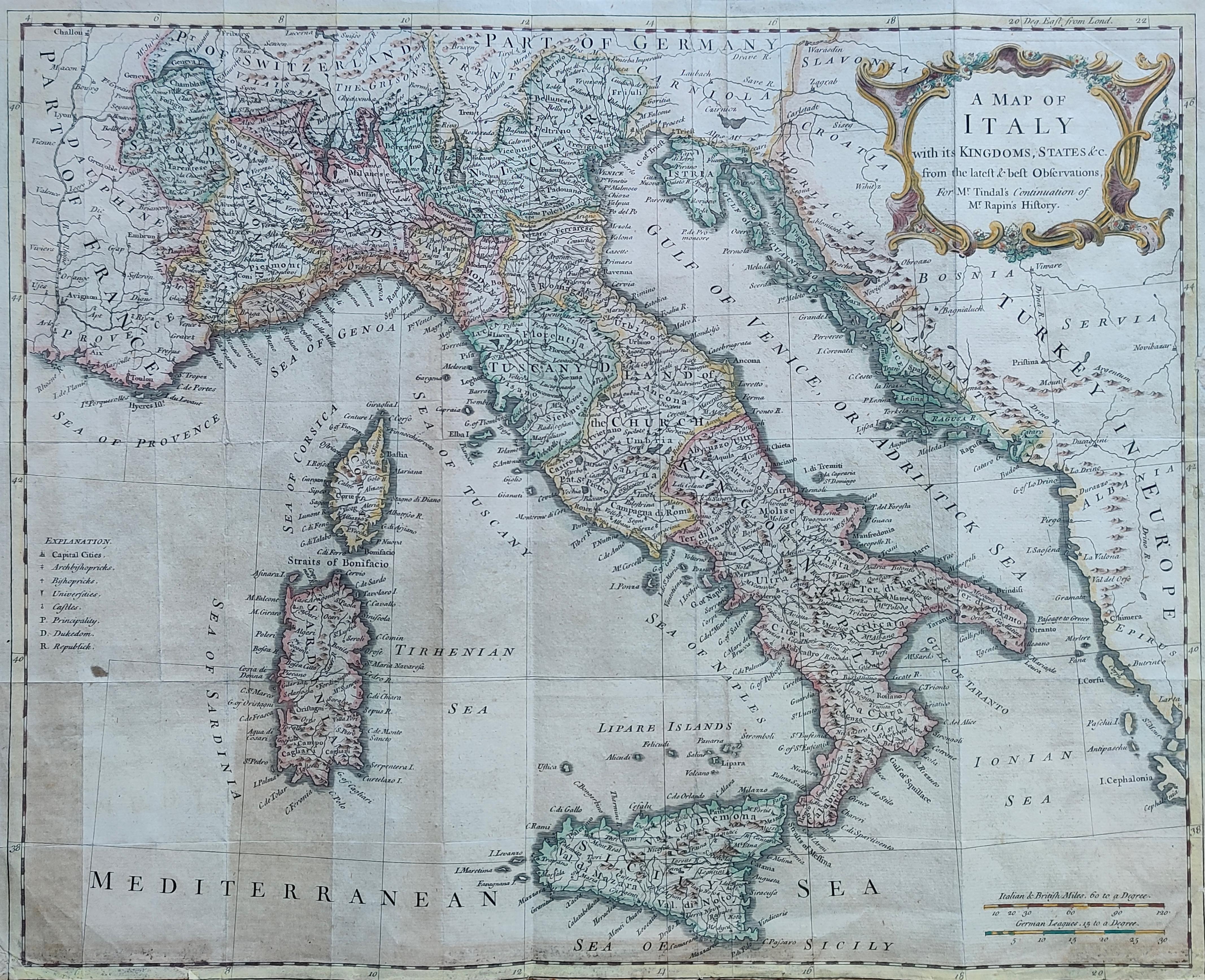
Map title
A map of Italy with its kingdom, states
Author
Seale
Location shown in map
Italy
Edition date
Circa 1745
Edition place
London
Editor
--
Atlas
Mr. Trindal's continuation of Rapin's history of England
Price
350 Euro
State
[mint/EXCELLENT/very good/good/fair/mediocre/poor]
Color
Old colors
Verso
Blank
Size
Plate: cm (46 x 38) inches (18.11 x 14.96) Paper: cm (48 x 39) inches (18.9 x 15.35)
Technique
Copper engraving
Note
Reference
R.Borri L'Italia nelle antiche carte pag.231
Wiki
Here for more info
In stock
Available
Info
info@thetreasuremaps.com
Code
#1286
×
![]()
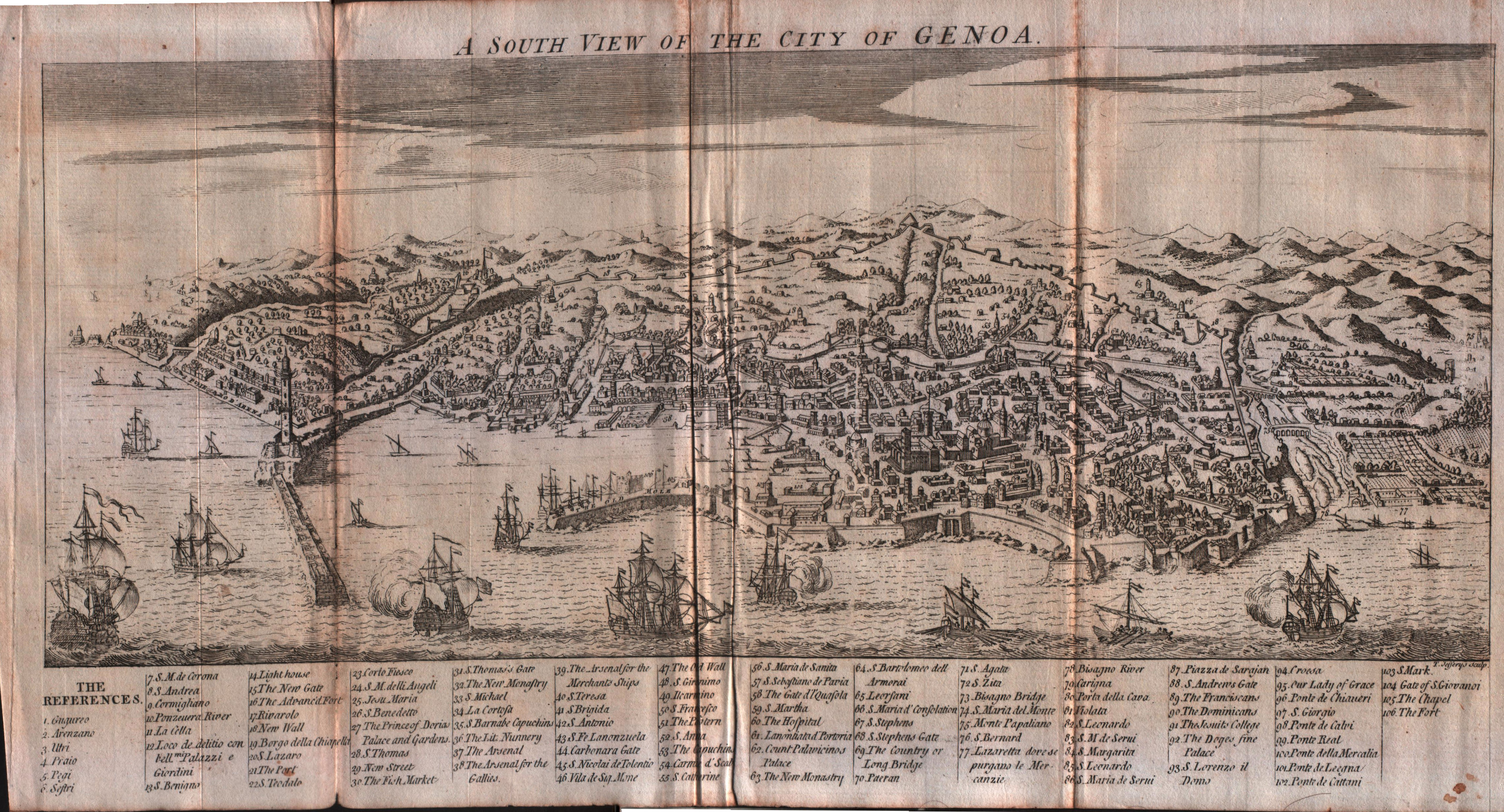
Map title
A South View of the City of Genoa
Author
Jefferys
Location shown in map
Genoa
Edition date
1747
Edition place
London
Editor
--
Atlas
Gentleman's Magazine
Price
200 Euro
State
[mint/excellent/VERY GOOD/good/fair/mediocre/poor]
Color
Black/white
Verso
Blank
Size
Plate: cm (36.8 x 17.8) inches (14.49 x 7.01) Paper: cm (39.4 x 20.3) inches (15.51 x 7.99)
Technique
Copper engraving
Note
--
Reference
--
Wiki
Here for more info
In stock
Available
Info
info@thetreasuremaps.com
Code
#0583
×
![]()
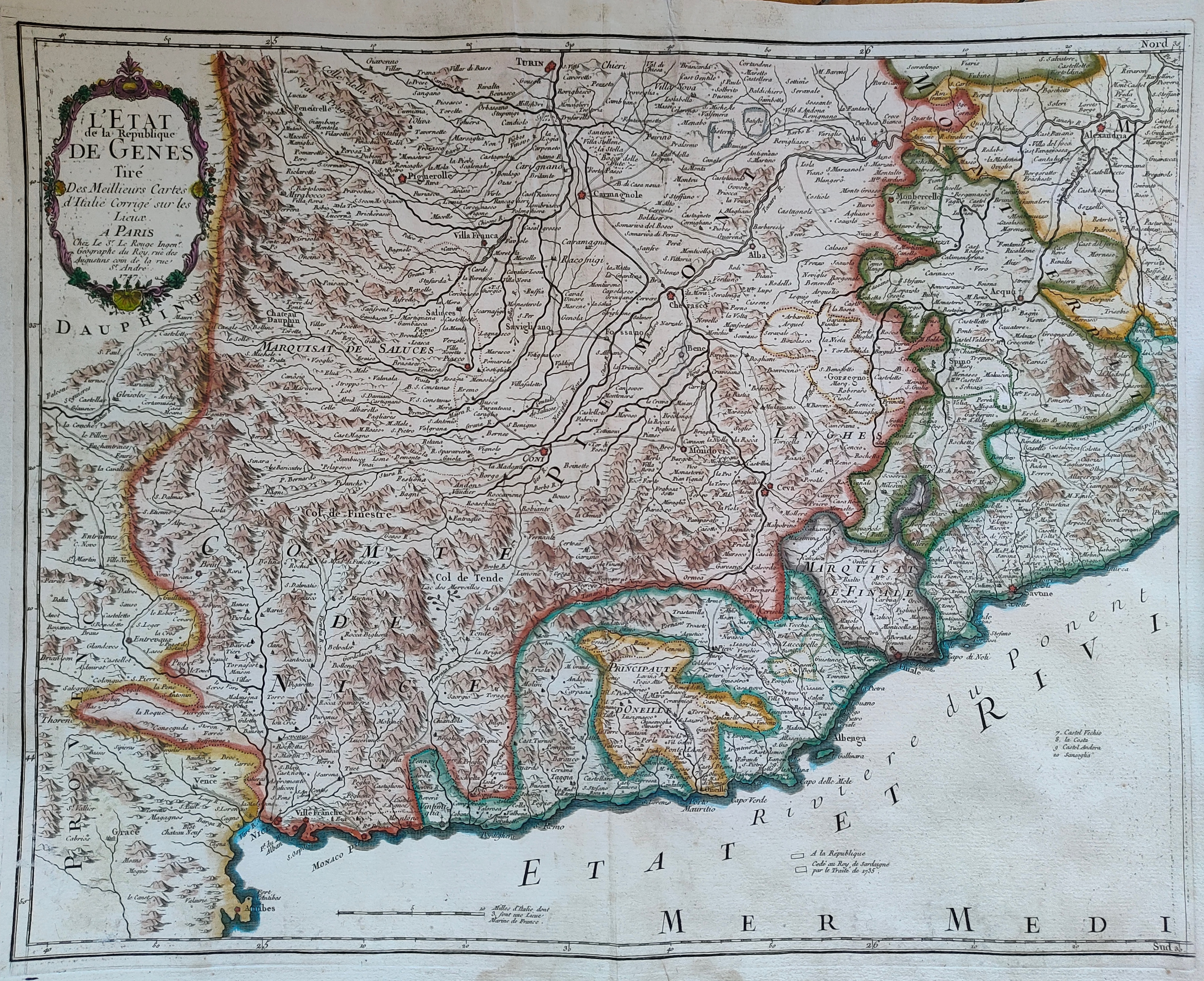
Map title
L'Etat de la republique de Genes
Author
Le Rouge
Location shown in map
Liguria
Edition date
1747
Edition place
Paris
Editor
Atlas
Price
300 Euro
State
[mint/EXCELLENT/very good/good/fair/mediocre/poor]
Color
Old colors
Verso
Blank
Size
Plate: cm (55 x 44) inches (21.65 x 17.32) Paper: cm (60 x 49) inches (23.62 x 19.29)
Technique
Copper engraving
Note
Reference
Wiki
Here for more info
In stock
Available
Info
info@thetreasuremaps.com
Code
#1203
×
![]()
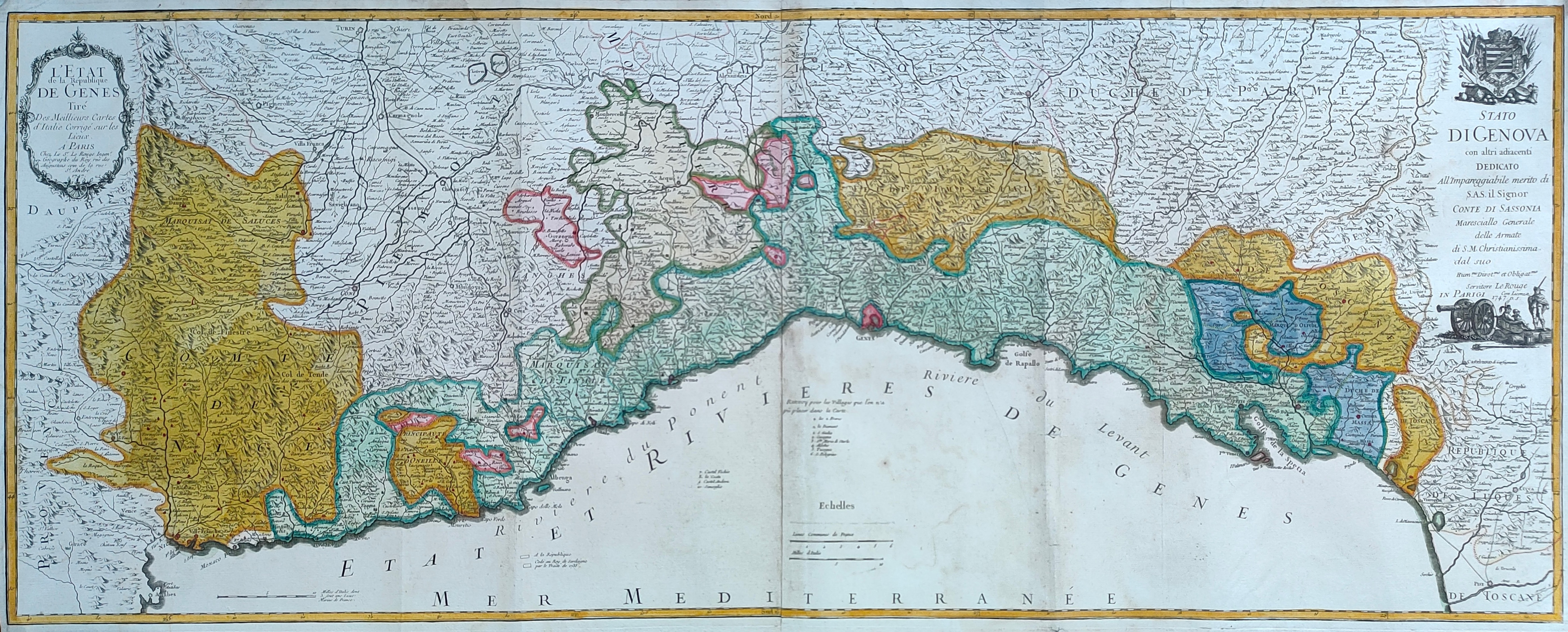
Map title
L'Etat de la republique de Genes
Author
Le Rouge
Location shown in map
Liguria
Edition date
1747
Edition place
Paris
Editor
Atlas
Price
600 Euro
State
[mint/EXCELLENT/very good/good/fair/mediocre/poor]
Color
Old colors
Verso
Blank
Size
Plate: cm (110 x 44) inches (43.31 x 17.32) Paper: cm (114 x 48) inches (44.88 x 18.9)
Technique
Copper engraving
Note
Reference
Wiki
Here for more info
In stock
Available
Info
info@thetreasuremaps.com
Code
#1245
×
![]()
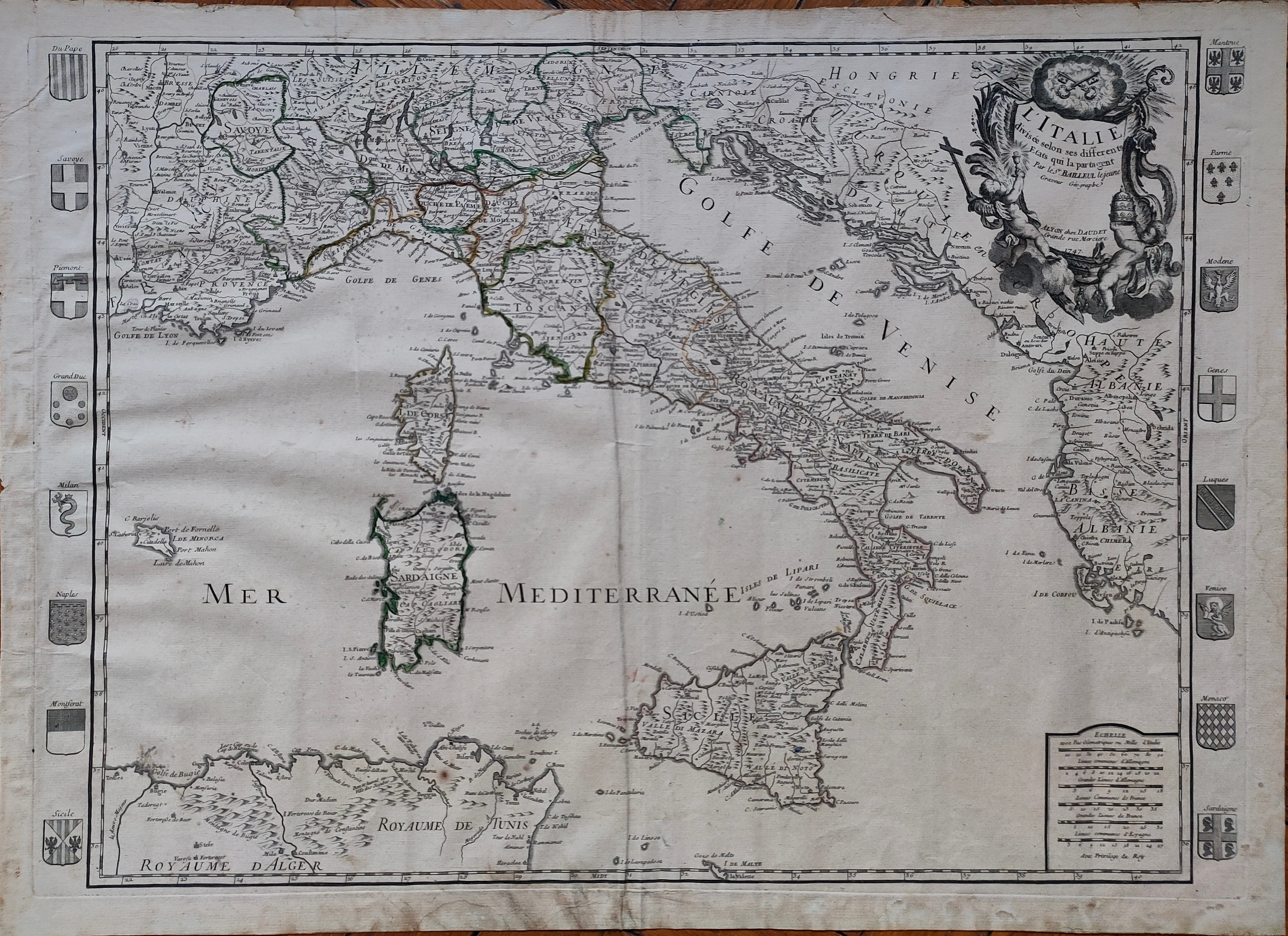
Map title
L'Italie
Author
Bailleul
Location shown in map
Italy
Edition date
1747
Edition place
Paris
Editor
Daudiet
Atlas
Price
600 Euro
State
[mint/EXCELLENT/very good/good/fair/mediocre/poor]
Color
Old colors
Verso
Blank
Size
Plate: cm (71 x 50) inches (27.95 x 19.69) Paper: cm (74 x 54) inches (29.13 x 21.26)
Technique
Copper engraving
Note
Reference
R.Borri L'Italia nelle antiche carte pag.243
Wiki
Here for more info
In stock
Available
Info
info@thetreasuremaps.com
Code
#1260
×
![]()
Map title
L'Angleterre
Author
Le Rouge
Location shown in map
England
Edition date
1748
Edition place
Paris
Editor
--
Atlas
Atlas Nouveau Portatif l'usage des militaries et du voyageur
Price
125 Euro
State
[mint/EXCELLENT/very good/good/fair/mediocre/poor]
Color
Old outlined
Verso
Blank
Size
Plate: cm (20.3 x 27.3) inches (7.99 x 10.75) Paper: cm (20.3 x 27.3) inches (7.99 x 10.75)
Technique
Copper engraving
Note
No particular notes for this maps
Reference
--
Wiki
Here for more info
In stock
Available
Info
info@thetreasuremaps.com
Code
#0156
×
![]()
Map title
Le Royaume D'Ecosse
Author
Le Rouge
Location shown in map
Scotland
Edition date
1748
Edition place
Paris
Editor
--
Atlas
Atlas Nouveau Portatif l'usage des militaries et du voyageur
Price
125 Euro
State
[mint/EXCELLENT/very good/good/fair/mediocre/poor]
Color
Old outlined
Verso
Blank
Size
Plate: cm (20.3 x 27.3) inches (7.99 x 10.75) Paper: cm (20.3 x 27.3) inches (7.99 x 10.75)
Technique
Copper engraving
Note
No particular notes for this maps
Reference
--
Wiki
Here for more info
In stock
Available
Info
info@thetreasuremaps.com
Code
#0157
×
![]()
Map title
Isles Moluques
Author
Le Rouge
Location shown in map
--
Edition date
1748
Edition place
Paris
Editor
--
Atlas
Atlas Nouveau Portatif l'usage des militaries et du voyageur
Price
125 Euro
State
[mint/excellent/VERY GOOD/good/fair/mediocre/poor]
Color
Black/white
Verso
Blank
Size
Plate: cm (26.7 x 20.3) inches (10.51 x 7.99) Paper: cm (34.9 x 24.1) inches (13.74 x 9.49)
Technique
Copper engraving
Note
A map depicting European knowledge of Sulawesi, part of Borneo and the Spice Islands at the time of publication.
Reference
--
Wiki
Here for more info
In stock
Available
Info
info@thetreasuremaps.com
Code
#0276
×
![]()
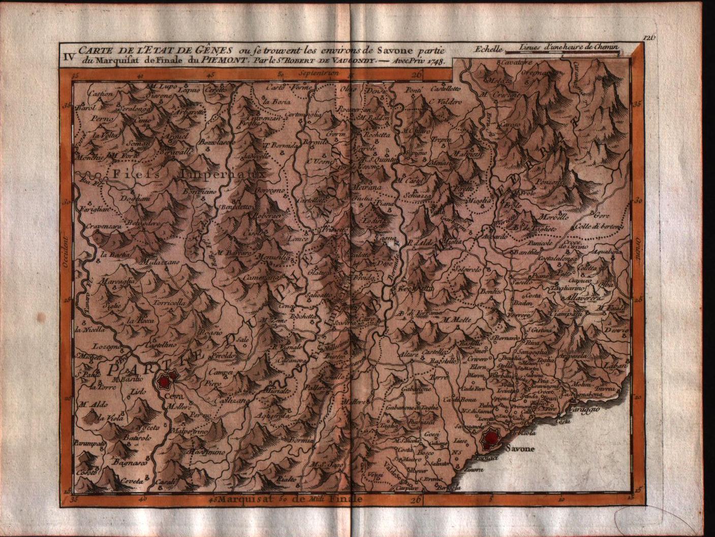
Map title
Carte de l'Etat de Genes, ou se trouvent les environs de Savone partie du Marquisat de Finale du Piemont.
Author
Robert de Vaugondy
Location shown in map
Liguria
Edition date
1748
Edition place
Paris
Editor
Durand & Pissot
Atlas
Atlas portatif universel et militaire
Price
150 Euro
State
[MINT/excellent/very good/good/fair/mediocre/poor]
Color
Old colors
Verso
Blank
Size
Plate: cm (20.3 x 15.2) inches (7.99 x 5.98) Paper: cm (24.1 x 19) inches (9.49 x 7.48)
Technique
Copper engraving
Note
No particular notes for this maps.
Reference
--
Wiki
Here for more info
In stock
Available
Info
info@thetreasuremaps.com
Code
#0554
×
![]()
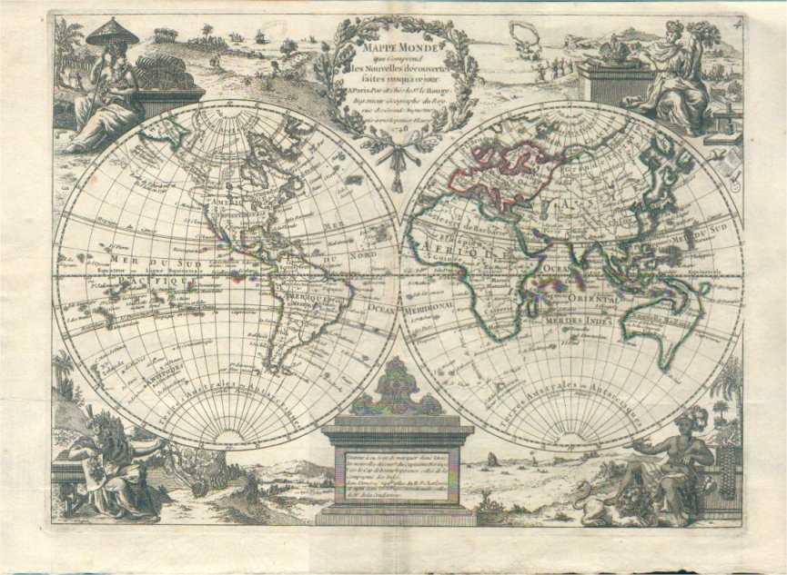
Map title
Mappa mode
Author
Le Rouge
Location shown in map
World
Edition date
1748
Edition place
Paris
Editor
--
Atlas
Atlas Nouveau Portatif l'usage des militaries et du voyageur
Price
Please ask: info@thetreasuremaps.com
State
[MINT/excellent/very good/good/fair/mediocre/poor]
Color
Old outlined
Verso
Blank
Size
Plate: cm (29.7 x 22.2) inches (11.69 x 8.74) Paper: cm (29.7 x 22.2) inches (11.69 x 8.74)
Technique
Copper engraving
Note
No particular notes for this maps
Reference
--
Wiki
Here for more info
In stock
Available
Info
info@thetreasuremaps.com
Code
#0328
×
![]()
Map title
Carte de la Perse
Author
Cellarius
Location shown in map
South west Asia
Edition date
1748
Edition place
--
Editor
--
Atlas
Geographia Antiqua
Price
Please ask: info@thetreasuremaps.com
State
[mint/EXCELLENT/very good/good/fair/mediocre/poor]
Color
Old outlined
Verso
Blank
Size
Plate: cm (34.3 x 25.4) inches (13.5 x 10) Paper: cm (39.4 x 26.7) inches (15.51 x 10.51)
Technique
Copper engraving
Note
Beautifull map of south Asia. Old India but new Caspian sea.
Reference
--
Wiki
Here for more info
In stock
Sold
Info
info@thetreasuremaps.com
Code
#0391
×
![]()
Map title
La Palestine
Author
Le Rouge
Location shown in map
--
Edition date
1748
Edition place
Paris
Editor
--
Atlas
Atlas Nouveau Portatif l'usage des militaries et du voyageur
Price
Please ask: info@thetreasuremaps.com
State
[mint/EXCELLENT/very good/good/fair/mediocre/poor]
Color
Old outlined
Verso
Blank
Size
Plate: cm (20.3 x 27.9) inches (7.99 x 10.98) Paper: cm (24.1 x 34.9) inches (9.49 x 13.74)
Technique
Copper engraving
Note
No particular notes for this maps
Reference
--
Wiki
Here for more info
In stock
Sold
Info
info@thetreasuremaps.com
Code
#0392
×
![]()
Map title
Carte de l'etat de Genes
Author
Unknown
Location shown in map
Near Savona in NW Italy
Edition date
1748
Edition place
--
Editor
--
Atlas
--
Price
Please ask: info@thetreasuremaps.com
State
[mint/EXCELLENT/very good/good/fair/mediocre/poor]
Color
Old color
Verso
Blank
Size
Plate: cm (20.3 x 15.2) inches (7.99 x 5.98) Paper: cm (22.9 x 17.8) inches (9.02 x 7.01)
Technique
Copper engraving
Note
No particular notes for this maps
Reference
--
Wiki
Here for more info
In stock
Sold
Info
info@thetreasuremaps.com
Code
#0421
×
![]()
Map title
La Parthie et la Perse
Author
Cellarius
Location shown in map
South west Asia
Edition date
1748
Edition place
--
Editor
--
Atlas
Geographia Antiqua
Price
Please ask: info@thetreasuremaps.com
State
[mint/EXCELLENT/very good/good/fair/mediocre/poor]
Color
Old outlined
Verso
Blank
Size
Plate: cm (34.3 x 25.4) inches (13.5 x 10) Paper: cm (39.4 x 31.8) inches (15.51 x 12.52)
Technique
Copper engraving
Note
Beautifull map of south Asia. Old India but new Caspian sea.
Reference
--
Wiki
Here for more info
In stock
Sold
Info
info@thetreasuremaps.com
Code
#0433
×
![]()
Map title
Author
Homann
Location shown in map
South-east Asia
Edition date
1748
Edition place
Nuremberg
Editor
--
Atlas
--
Price
Please ask: info@thetreasuremaps.com
State
[mint/excellent/VERY GOOD/good/fair/mediocre/poor]
Color
Old color
Verso
Blank
Size
Plate: cm (43.2 x 49.5) inches (17.01 x 19.49) Paper: cm (50.8 x 52.1) inches (20 x 20.51)
Technique
Copper engraving
Note
--
Reference
--
Wiki
Here for more info
In stock
Sold
Info
info@thetreasuremaps.com
Code
#0454
×
![]()
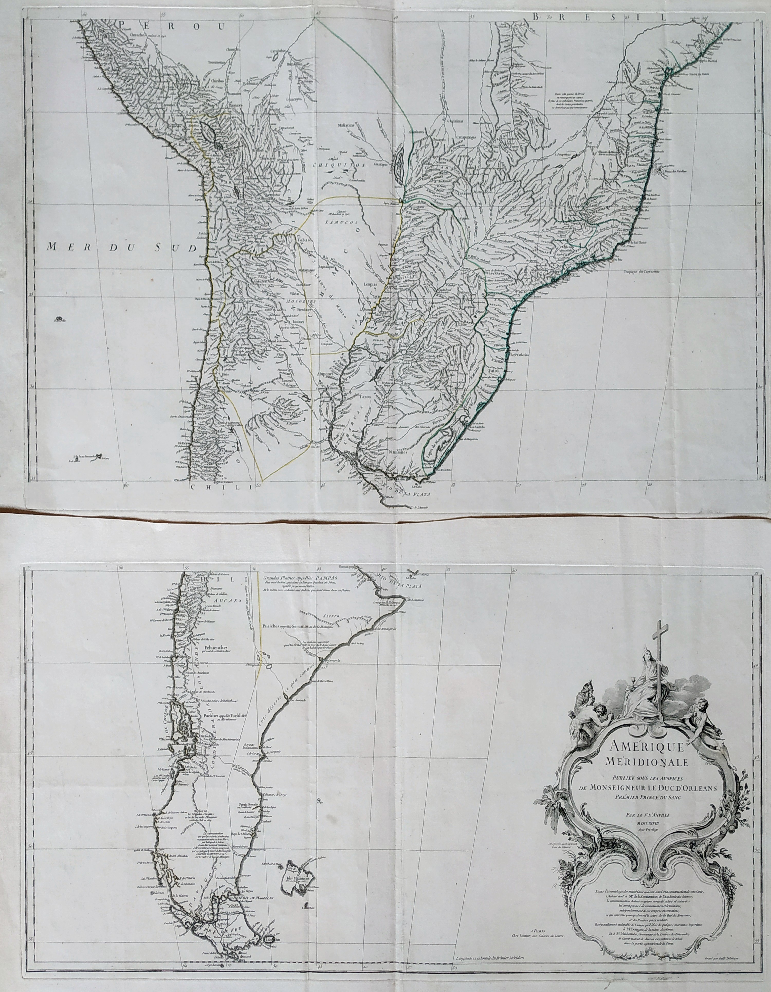
Map title
Amerique Meridionale
Author
Danville
Location shown in map
South America
Edition date
1748
Edition place
Paris
Editor
Atlas
Price
Please ask: info@thetreasuremaps.com
State
[MINT/excellent/very good/good/fair/mediocre/poor]
Color
Black/white
Verso
Blank
Size
Plate: cm (83 x 89) inches (32.68 x 35.04) Paper: cm (0 x 0) inches (0 x 0)
Technique
Copper engraving
Note
Reference
Wiki
Here for more info
In stock
Available
Info
info@thetreasuremaps.com
Code
#0836
×
![]()
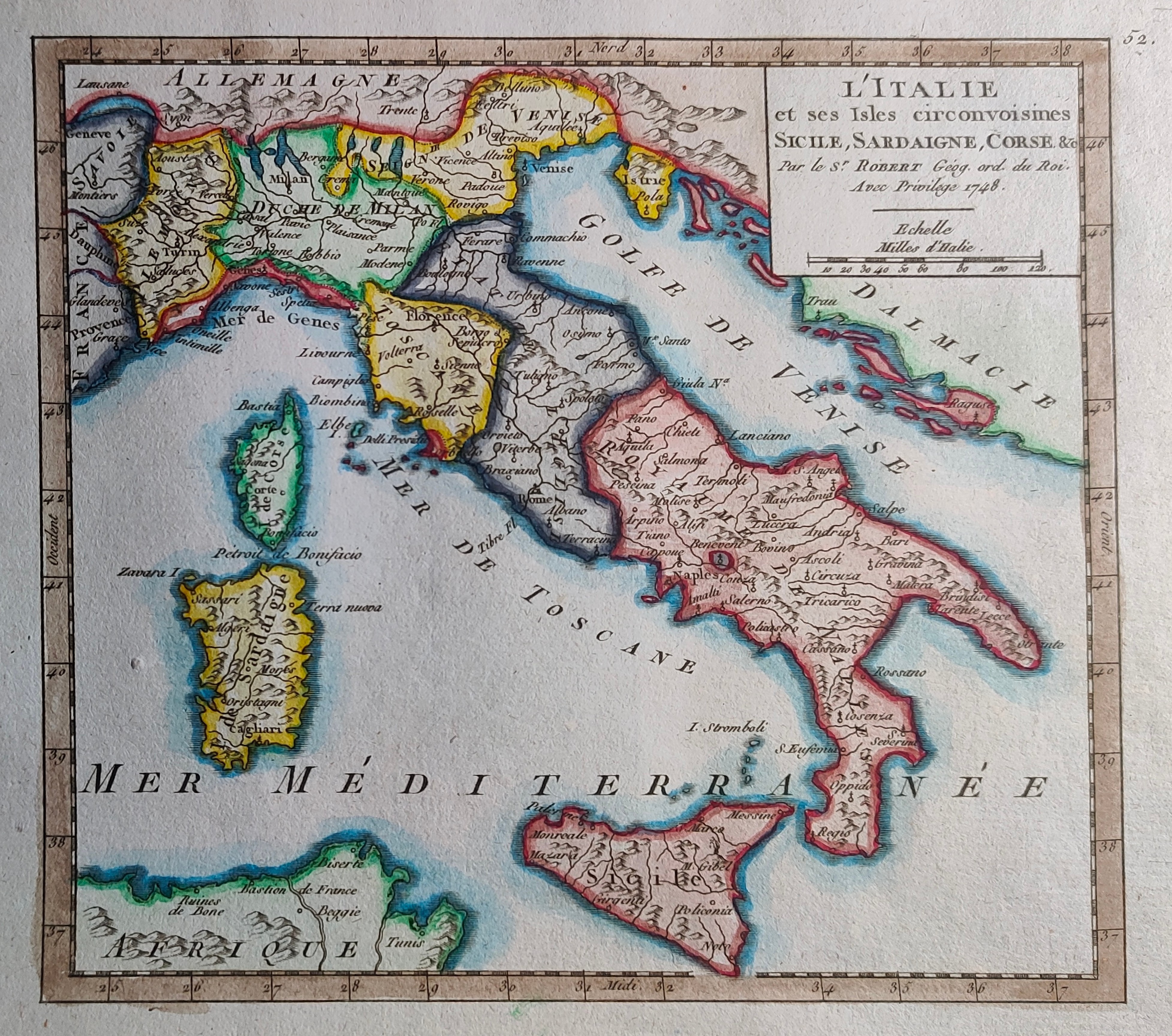
Map title
L'Italie et ses isles ...
Author
Robert de Vaugondy
Location shown in map
Italy
Edition date
1748
Edition place
Paris
Editor
--
Atlas
Atlas Portatif Universel et Militaire
Price
100 Euro
State
[mint/EXCELLENT/very good/good/fair/mediocre/poor]
Color
Modern color
Verso
Blank
Size
Plate: cm (16 x 16) inches (6.3 x 6.3) Paper: cm (28 x 22) inches (11.02 x 8.66)
Technique
Copper engraving
Note
Reference
--
Wiki
Here for more info
In stock
Available
Info
info@thetreasuremaps.com
Code
#0901
×
![]()
Map title
Amerique Meridionale
Author
Robert de Vaugondy
Location shown in map
South America
Edition date
1748
Edition place
Paris
Editor
--
Atlas
Atlas Portatif Universel et Militaire
Price
50 Euro
State
[mint/EXCELLENT/very good/good/fair/mediocre/poor]
Color
Old colors
Verso
Blank
Size
Plate: cm (20 x 16) inches (7.87 x 6.3) Paper: cm (23 x 18) inches (9.06 x 7.09)
Technique
Copper engraving
Note
Reference
--
Wiki
Here for more info
In stock
Available
Info
info@thetreasuremaps.com
Code
#1004
×
![]()
Map title
Parte meridionale del regno di Napoli
Author
Sanson
Location shown in map
South Italy
Edition date
1748
Edition place
Editor
Atlas
Price
75 Euro
State
[mint/excellent/VERY GOOD/good/fair/mediocre/poor]
Color
Black/white
Verso
Blank
Size
Plate: cm (20 x 16) inches (7.87 x 6.3) Paper: cm (24 x 19) inches (9.45 x 7.48)
Technique
Copper engraving
Note
Reference
--
Wiki
Here for more info
In stock
Available
Info
info@thetreasuremaps.com
Code
#1143
×
![]()
Map title
Isles Moluques
Author
Le Rouge
Location shown in map
--
Edition date
1748
Edition place
Paris
Editor
--
Atlas
Atlas Nouveau Portatif l'usage des militaries et du voyageur
Price
125 Euro
State
[mint/EXCELLENT/very good/good/fair/mediocre/poor]
Color
Old colors
Verso
Blank
Size
Plate: cm (26.7 x 20.3) inches (10.51 x 7.99) Paper: cm (34.9 x 24.1) inches (13.74 x 9.49)
Technique
Copper engraving
Note
A map depicting European knowledge of Sulawesi, part of Borneo and the Spice Islands at the time of publication.
Reference
--
Wiki
Here for more info
In stock
Available
Info
info@thetreasuremaps.com
Code
#1152
×
![]()
Map title
Parte settentrionale del regno di Napoli
Author
Sanson
Location shown in map
South Italy
Edition date
1748
Edition place
Editor
Atlas
Price
75 Euro
State
[mint/excellent/VERY GOOD/good/fair/mediocre/poor]
Color
Black/white
Verso
Blank
Size
Plate: cm (20 x 16) inches (7.87 x 6.3) Paper: cm (28 x 19) inches (11.02 x 7.48)
Technique
Copper engraving
Note
Reference
--
Wiki
Here for more info
In stock
Available
Info
info@thetreasuremaps.com
Code
#1153
×
![]()
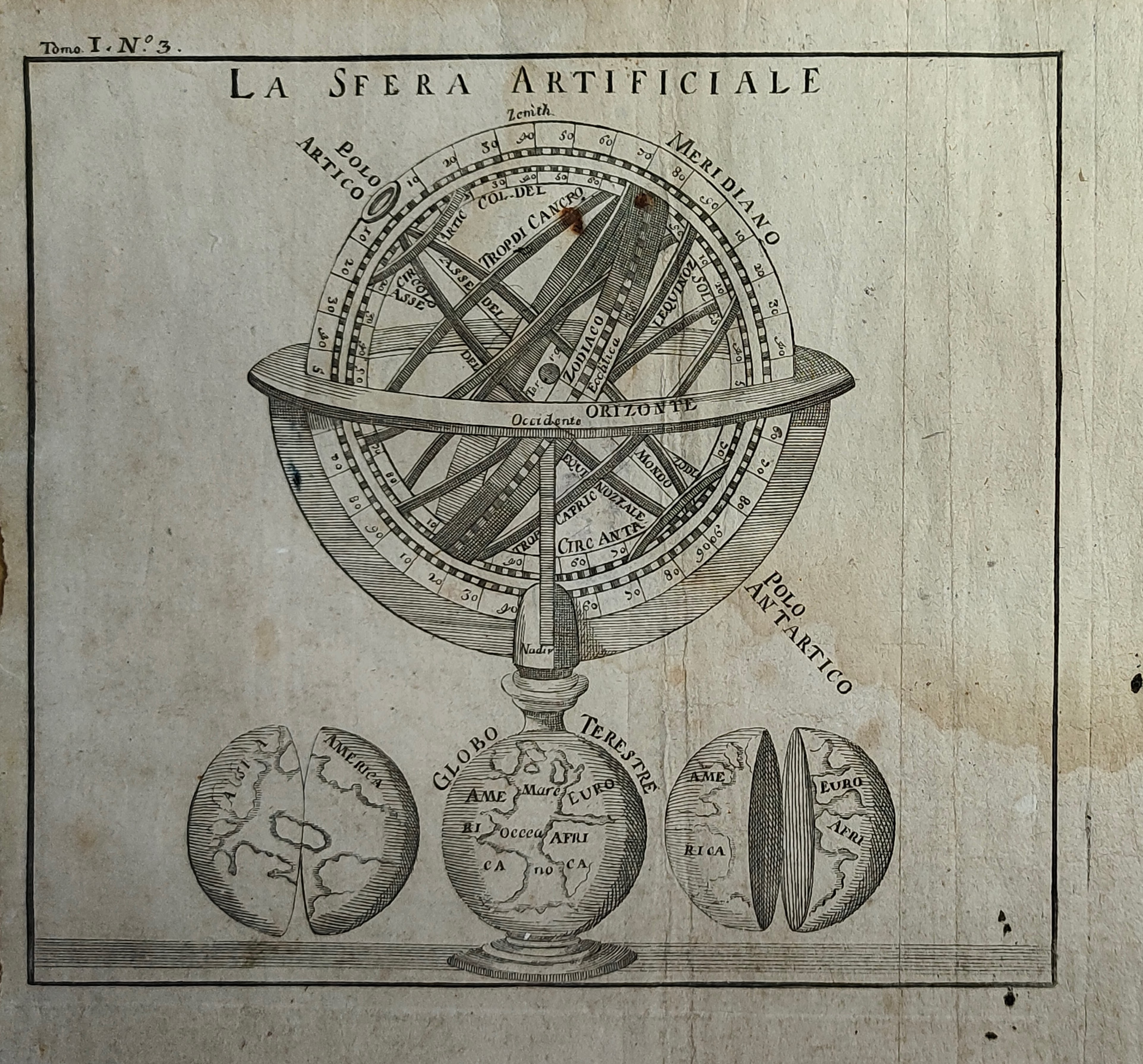
Map title
La sfera artificiale
Author
Location shown in map
Celestial
Edition date
Circa 1748
Edition place
Paris
Editor
Atlas
Price
100 Euro
State
[mint/EXCELLENT/very good/good/fair/mediocre/poor]
Color
Black/white
Verso
Blank
Size
Plate: cm (16 x 14) inches (6.3 x 5.51) Paper: cm (20 x 19) inches (7.87 x 7.48)
Technique
Copper engraving
Note
Reference
Wiki
Here for more info
In stock
Available
Info
info@thetreasuremaps.com
Code
#1154
×
![]()
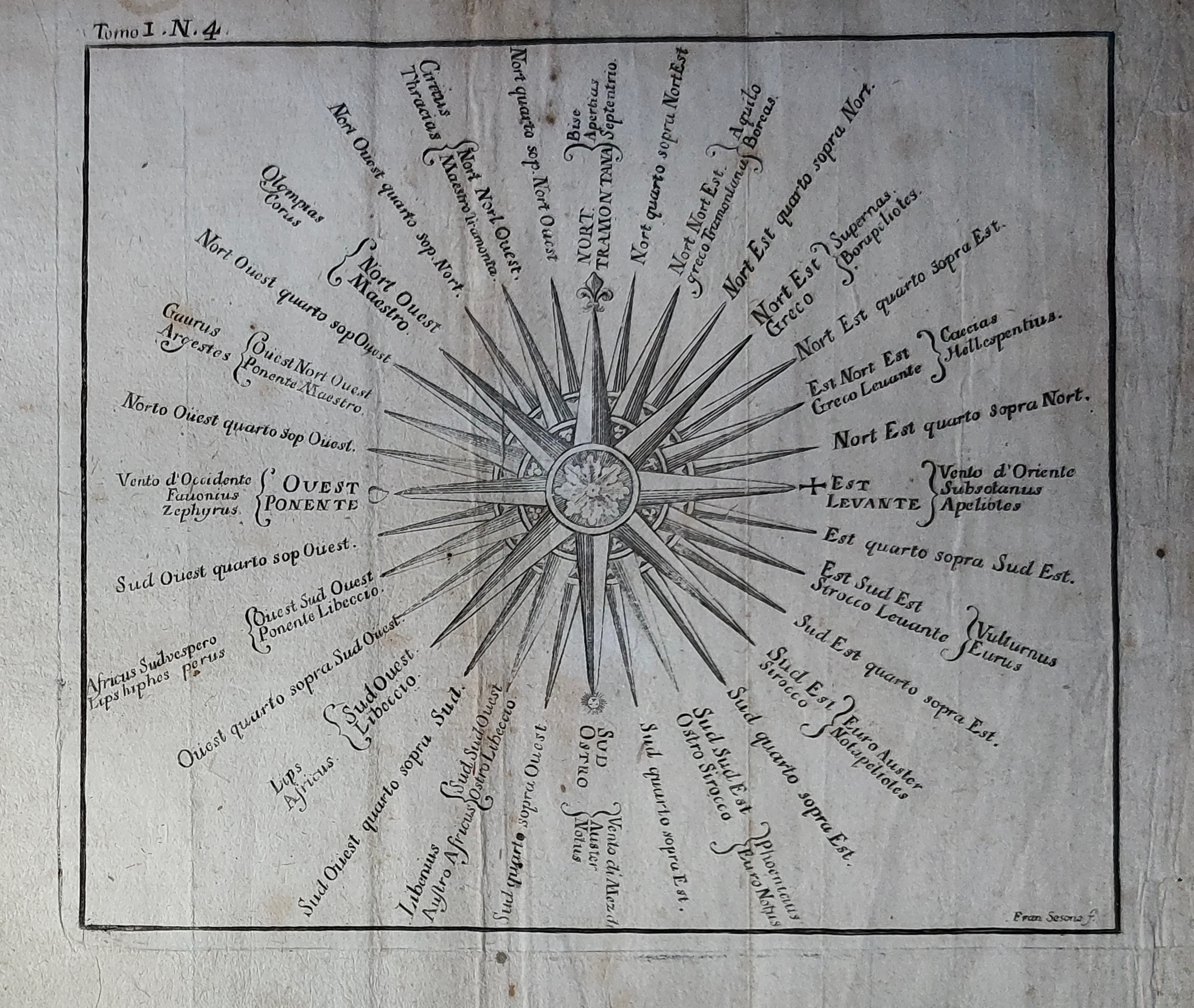
Map title
Author
Location shown in map
Celestial
Edition date
Circa 1748
Edition place
Paris
Editor
Atlas
Price
100 Euro
State
[mint/EXCELLENT/very good/good/fair/mediocre/poor]
Color
Black/white
Verso
Blank
Size
Plate: cm (16 x 14) inches (6.3 x 5.51) Paper: cm (20 x 19) inches (7.87 x 7.48)
Technique
Copper engraving
Note
Reference
Wiki
Here for more info
In stock
Available
Info
info@thetreasuremaps.com
Code
#1155
×
![]()
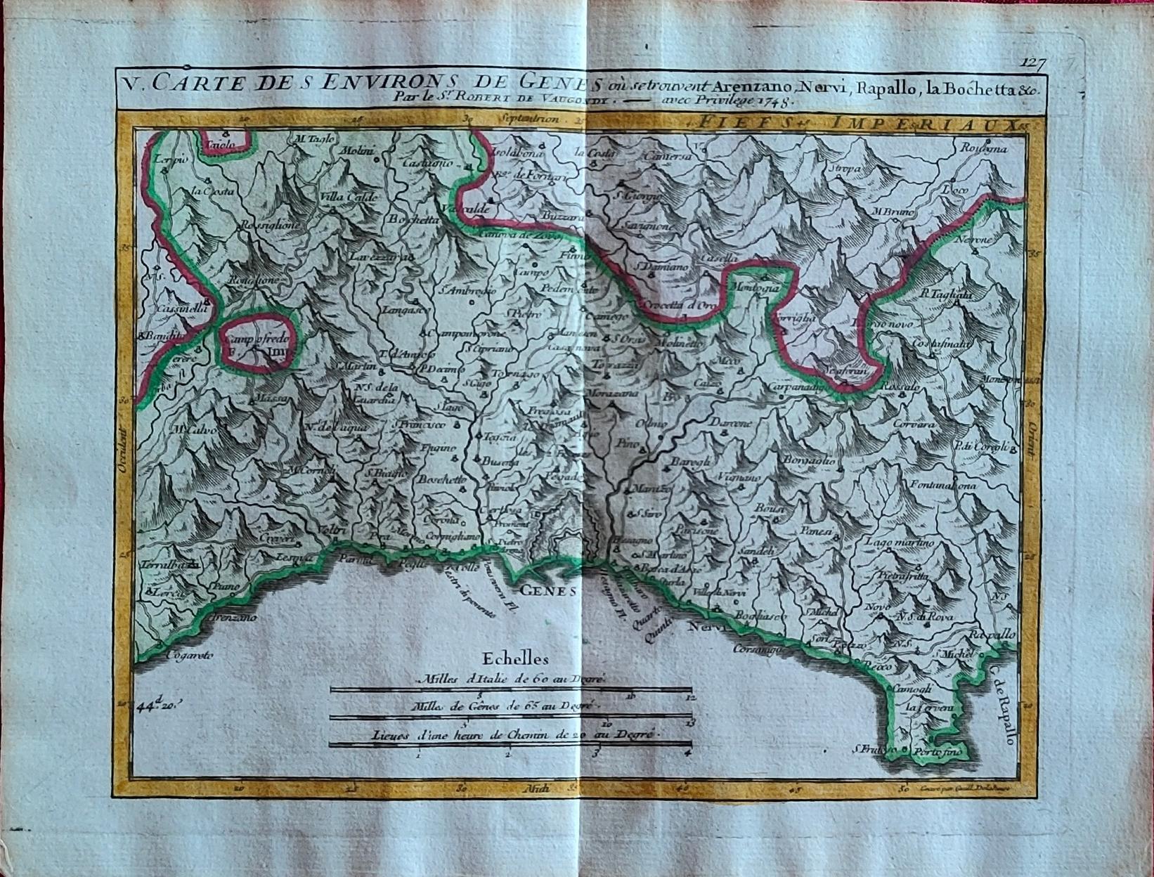
Map title
Carte des environs de Genes
Author
Vaugondy
Location shown in map
Liguria
Edition date
1748
Edition place
Paris
Editor
Atlas
Price
175 Euro
State
[mint/EXCELLENT/very good/good/fair/mediocre/poor]
Color
Old colors
Verso
Blank
Size
Plate: cm (20 x 15.5) inches (7.87 x 6.1) Paper: cm (24 x 19) inches (9.45 x 7.48)
Technique
Copper engraving
Note
Reference
Wiki
Here for more info
In stock
Available
Info
info@thetreasuremaps.com
Code
#1264
×
![]()
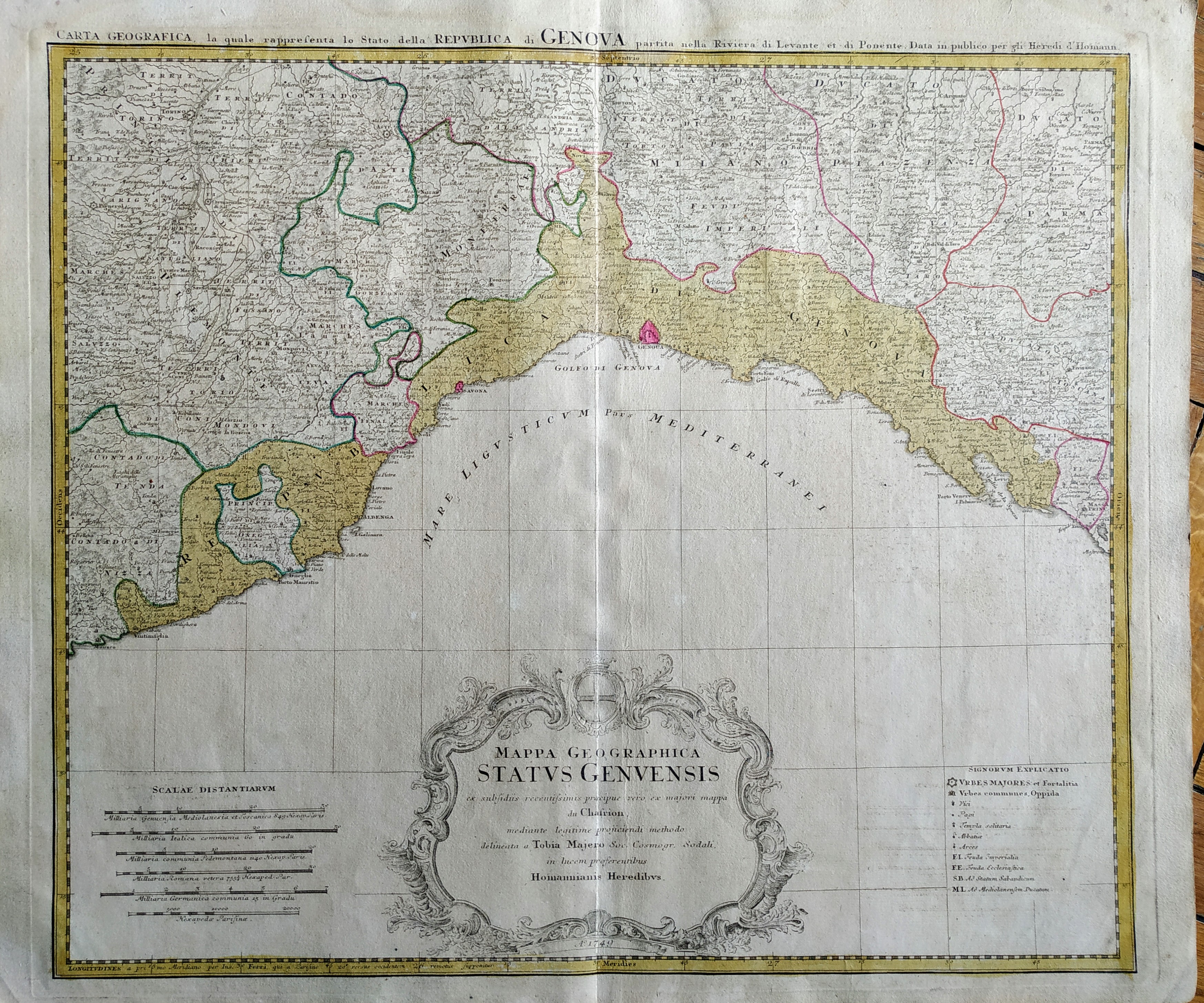
Map title
Status Genuensis
Author
Tobias Mayer
Location shown in map
Liguria
Edition date
1749
Edition place
Nuremberg
Editor
Homann
Atlas
Atlas Compendiarius: Quinquaginta Tabularum Geographicarum Homannianarum alias in Atlante maiori contentarum
Price
Please ask: info@thetreasuremaps.com
State
[mint/EXCELLENT/very good/good/fair/mediocre/poor]
Color
Old colors
Verso
Blank
Size
Plate: cm (48 x 39) inches (18.9 x 15.35) Paper: cm (60 x 52) inches (23.62 x 20.47)
Technique
Copper engraving
Note
--
Reference
--
Wiki
Here for more info
In stock
Available
Info
info@thetreasuremaps.com
Code
#0629
×
![]()
Map title
Carte de l'Angleterre dresse sur de nouvelles observations astronomiques, pour servir l'Historie Universelle
Author
Unknown
Location shown in map
England
Edition date
1750
Edition place
--
Editor
--
Atlas
--
Price
Please ask: info@thetreasuremaps.com
State
[mint/excellent/very good/good/FAIR/mediocre/poor] The map has been repaired. The upper left corner was damaged.
Color
Black/white
Verso
Blank
Size
Plate: cm (21.6 x 29.2) inches (8.5 x 11.5) Paper: cm (22.9 x 33) inches (9.02 x 12.99)
Technique
--
Note
No particular notes for this maps
Reference
--
Wiki
Here for more info
In stock
Sold
Info
info@thetreasuremaps.com
Code
#0169
×
![]()
Map title
Carte de l'isle d'Anjouan
Author
Bellin
Location shown in map
Comore island
Edition date
1750
Edition place
Paris
Editor
--
Atlas
Historie General des Voyages -- Prevost
Price
Please ask: info@thetreasuremaps.com
State
[mint/EXCELLENT/very good/good/fair/mediocre/poor]
Color
Black/white
Verso
Blank
Size
Plate: cm (16.5 x 21.6) inches (6.5 x 8.5) Paper: cm (17.8 x 22.9) inches (7.01 x 9.02)
Technique
Copper engraving
Note
No particular notes for this maps
Reference
--
Wiki
Here for more info
In stock
Available
Info
info@thetreasuremaps.com
Code
#0323
×
![]()
Map title
Carte du cours de la riviere de Gambra ou Gambie depuis Eropina u'j'usqua Barrakonda.
Author
Bellin
Location shown in map
Gambie river.
Edition date
1750
Edition place
Paris
Editor
--
Atlas
Historie General des Voyages -- Prevost
Price
Please ask: info@thetreasuremaps.com
State
[mint/EXCELLENT/very good/good/fair/mediocre/poor]
Color
Black/white
Verso
Blank
Size
Plate: cm (33 x 20.3) inches (12.99 x 7.99) Paper: cm (40.6 x 27.9) inches (15.98 x 10.98)
Technique
Copper engraving
Note
No particular notes for this maps
Reference
--
Wiki
Here for more info
In stock
Available
Info
info@thetreasuremaps.com
Code
#0325
×
![]()
Map title
Carta che dimostra la spedizione di Annibale
Author
Location shown in map
Italy
Edition date
1750
Edition place
???
Editor
--
Atlas
Storia romana -- C.Rollin
Price
Please ask: info@thetreasuremaps.com
State
[mint/excellent/Very GOOD/good/fair/mediocre/poor]
Color
Black/white
Verso
Blank
Size
Plate: cm (26.7 x 45.7) inches (10.51 x 17.99) Paper: cm (49.5 x 30.5) inches (19.49 x 12.01)
Technique
Copper engraving
Note
No particular notes for this maps
Reference
--
Wiki
Here for more info
In stock
Sold
Info
info@thetreasuremaps.com
Code
#0390
×
![]()
Map title
Carta dell'Africa propriamente detta della Numidia
Author
Unknown
Location shown in map
North Africa
Edition date
1750
Edition place
???
Editor
--
Atlas
Storia romana -- C.Rollin
Price
Please ask: info@thetreasuremaps.com
State
[mint/EXCELLENT/very good/good/fair/mediocre/poor]
Color
Black/white
Verso
Blank
Size
Plate: cm (22.9 x 17.8) inches (9.02 x 7.01) Paper: cm (25.4 x 21.6) inches (10 x 8.5)
Technique
Copper engraving
Note
No particular notes for this maps
Reference
--
Wiki
Here for more info
In stock
Sold
Info
info@thetreasuremaps.com
Code
#0436
×
![]()
Map title
Carta dell'Egitto
Author
Unknown
Location shown in map
Egypt
Edition date
1750
Edition place
???
Editor
--
Atlas
Storia romana -- C.Rollin
Price
Please ask: info@thetreasuremaps.com
State
[mint/EXCELLENT/very good/good/fair/mediocre/poor]
Color
Black/white
Verso
Blank
Size
Plate: cm (20.3 x 14) inches (7.99 x 5.51) Paper: cm (25.4 x 15.2) inches (10 x 5.98)
Technique
Copper engraving
Note
No particular notes for this maps
Reference
--
Wiki
Here for more info
In stock
Sold
Info
info@thetreasuremaps.com
Code
#0437
×
![]()
Map title
Nouvelle cartegeographique dela Suisse
Author
Scheuchzer
Location shown in map
Switzerland
Edition date
Circa 1750
Edition place
Amsterdam
Editor
Wetstein
Atlas
Price
100 Euro
State
[mint/EXCELLENT/very good/good/fair/mediocre/poor]
Color
Black/white
Verso
Blank
Size
Plate: cm (28 x 22) inches (11.02 x 8.66) Paper: cm (33 x 26) inches (12.99 x 10.24)
Technique
Copper engraving
Note
Reference
Wiki
Here for more info
In stock
Available
Info
info@thetreasuremaps.com
Code
#1214
×
![]()
Map title
Italie divisee en regiones par Cesar Auguste
Author
Location shown in map
Italy
Edition date
Circa 1750
Edition place
Paris
Editor
Atlas
Price
175 Euro
State
[mint/EXCELLENT/very good/good/fair/mediocre/poor]
Color
Color
Verso
Blank
Size
Plate: cm (39 x 30) inches (15.35 x 11.81) Paper: cm (43 x 35) inches (16.93 x 13.78)
Technique
Copper engraving
Note
Reference
Wiki
Here for more info
In stock
Available
Info
info@thetreasuremaps.com
Code
#1170
×
![]()
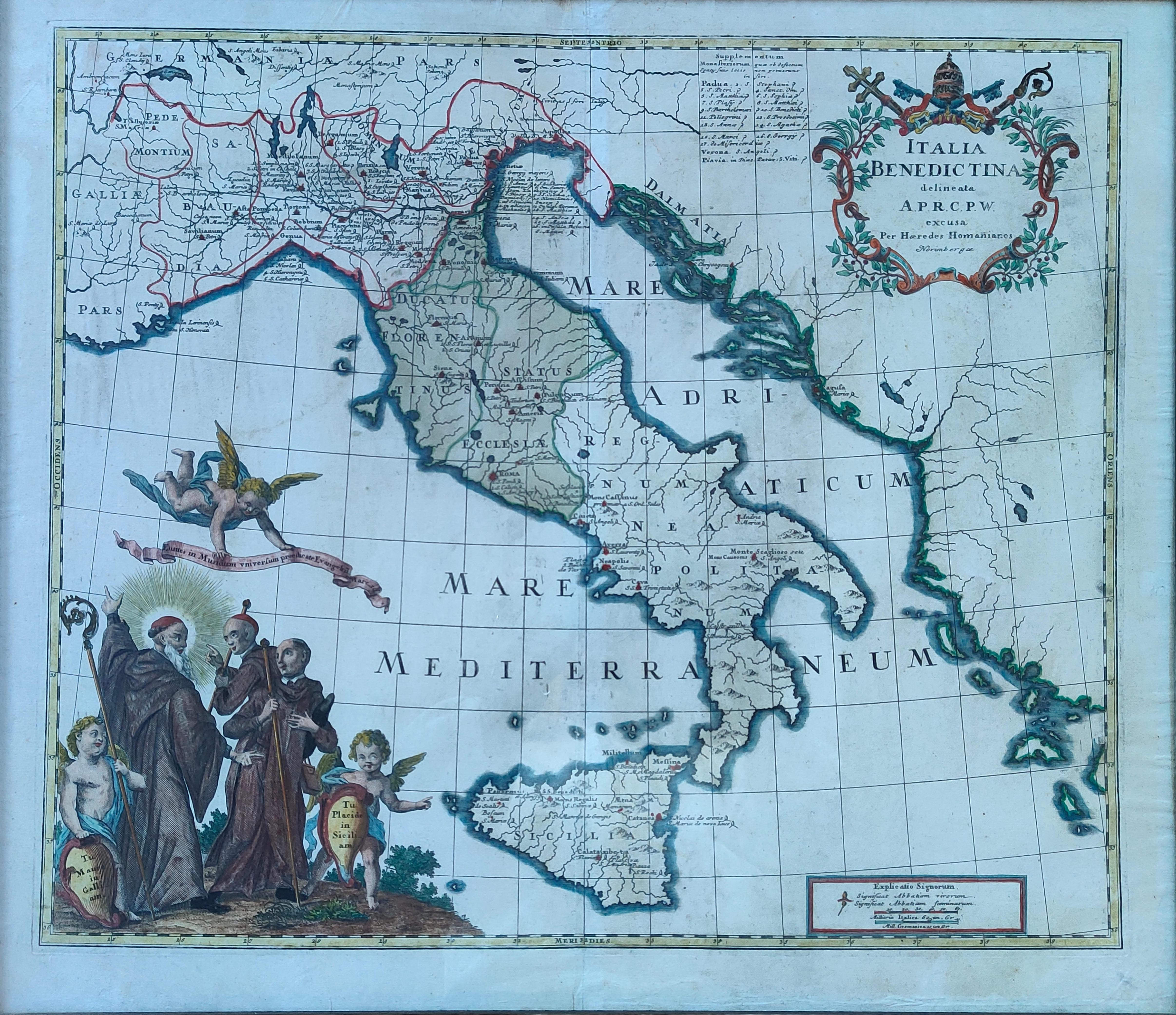
Map title
Italia Benedictina
Author
Homann
Location shown in map
Italy
Edition date
Circa 1750
Edition place
Nurimberg
Editor
Atlas
Price
500 Euro
State
[mint/EXCELLENT/very good/good/fair/mediocre/poor]
Color
Old colors
Verso
Blank
Size
Plate: cm (55 x 47) inches (21.65 x 18.5) Paper: cm (60 x 52) inches (23.62 x 20.47)
Technique
Copper engraving
Note
Reference
R.Borri L'Italia nelle antiche carte pag.221
Wiki
Here for more info
In stock
Available
Info
info@thetreasuremaps.com
Code
#1265
×
![]()
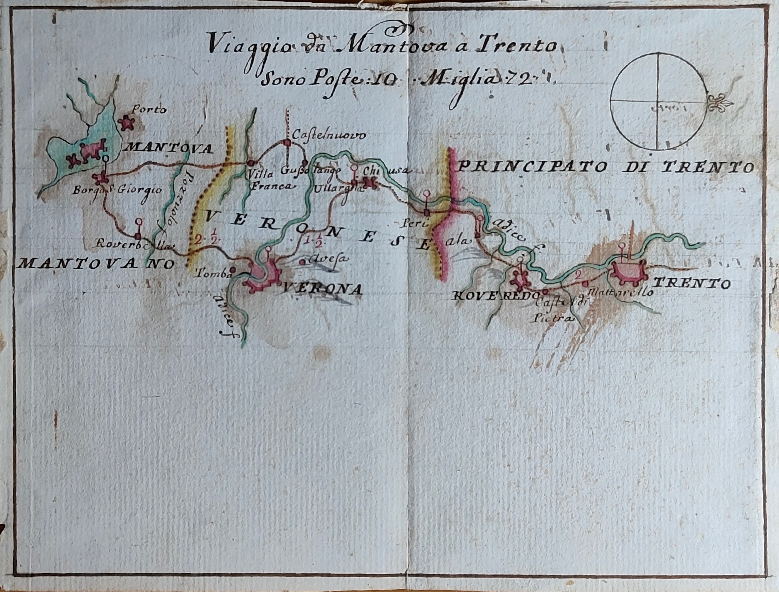
Map title
Viaggio da Mantova a Trento
Author
Location shown in map
North Italy
Edition date
Circa 1750
Edition place
Editor
--
Atlas
Price
250 Euro
State
[mint/EXCELLENT/very good/good/fair/mediocre/poor]
Color
Old colors
Verso
Blank
Size
Plate: cm (18 x 14) inches (7.09 x 5.51) Paper: cm (18 x 14) inches (7.09 x 5.51)
Technique
Manuscript
Note
Manuscript map
Reference
Wiki
Here for more info
In stock
Available
Info
info@thetreasuremaps.com
Code
#1290
×
![]()
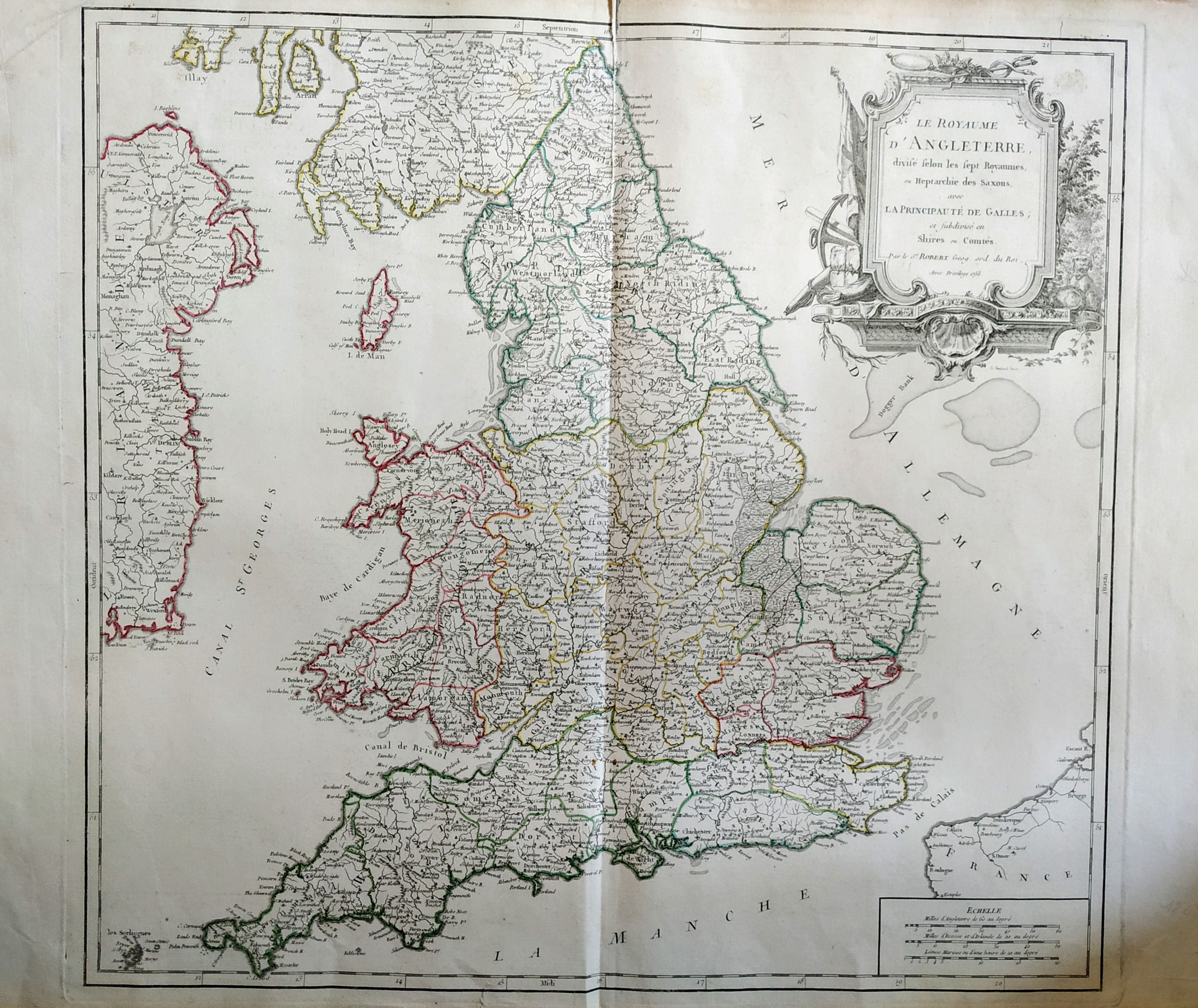
Map title
Le royaume d'Angleterre
Author
Robert de Vaugondy
Location shown in map
British Isles
Edition date
1753
Edition place
Paris
Editor
Delamarche
Atlas
Atlas Universel
Price
200 Euro
State
[mint/excellent/VERY GOOD/good/fair/mediocre/poor]
Color
Old color
Verso
Blank
Size
Plate: cm (66 x 51) inches (25.98 x 20.08) Paper: cm (53 x 49) inches (20.87 x 19.29)
Technique
Copper engraving
Note
No particular notes for this maps.
Reference
--
Wiki
Here for more info
In stock
Available
Info
info@thetreasuremaps.com
Code
#0759
×
![]()
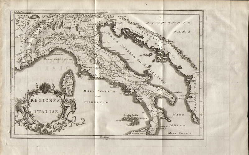
Map title
Regiones Italiae
Author
Unknown
Location shown in map
Italy
Edition date
1754
Edition place
Paris
Editor
--
Atlas
Abrege de l'Histoire de Polybe
Price
50 Euro
State
[MINT/excellent/very good/good/fair/mediocre/poor]
Color
Black/white
Verso
Blank
Size
Plate: cm (30.5 x 20.3) inches (12.01 x 7.99) Paper: cm (39.4 x 25.4) inches (15.51 x 10)
Technique
Copper engraving
Note
Reference
--
Wiki
Here for more info
In stock
Available
Info
info@thetreasuremaps.com
Code
#0152
×
![]()
Map title
Sicilia Antiqua
Author
Unknown
Location shown in map
Sicily
Edition date
1754
Edition place
Paris
Editor
--
Atlas
Abrege de l'Histoire de Polybe
Price
Please ask: info@thetreasuremaps.com
State
[MINT/excellent/very good/good/fair/mediocre/poor]
Color
Black/white
Verso
Blank
Size
Plate: cm (30.5 x 22.9) inches (12.01 x 9.02) Paper: cm (39.4 x 25.4) inches (15.51 x 10)
Technique
Copper engraving
Note
No particular notes for this maps
Reference
--
Wiki
Here for more info
In stock
Sold
Info
info@thetreasuremaps.com
Code
#0153
×
![]()
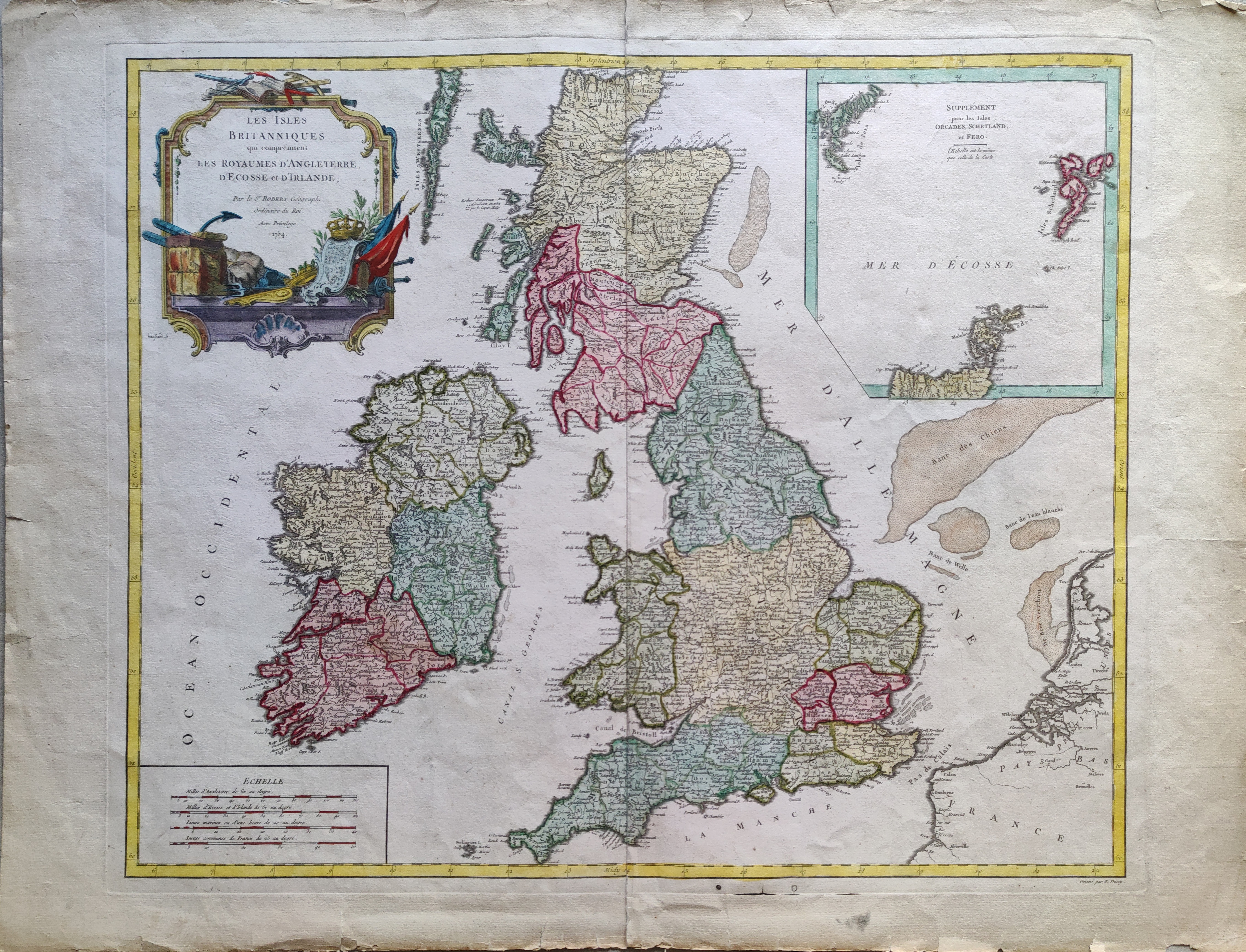
Map title
Les Isles Britanniques qui comprennent les Royaumes d'Angleterre, d'Ecosse et d'Irlande.
Author
Robert de Vaugondy
Location shown in map
British Isles
Edition date
1754
Edition place
Paris
Editor
Atlas
Atlas Universel
Price
200 Euro
State
[mint/EXCELLENT/very good/good/fair/mediocre/poor]
Color
Old colors
Verso
Blank
Size
Plate: cm (58 x 48) inches (22.83 x 18.9) Paper: cm (73 x 55) inches (28.74 x 21.65)
Technique
Copper engraving
Note
Reference
Wiki
Here for more info
In stock
Available
Info
info@thetreasuremaps.com
Code
#1072
×
![]()
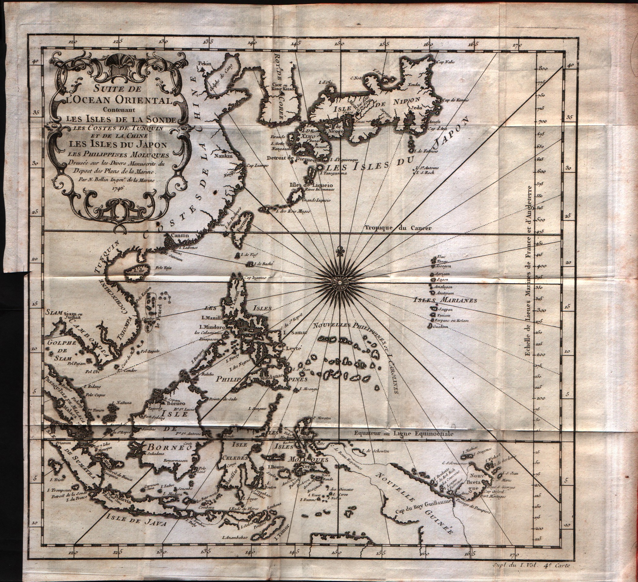
Map title
Suite de l'Ocean Oriental
Author
Bellin
Location shown in map
Inde
Edition date
1757
Edition place
Paris
Editor
--
Atlas
Historie General des Voyages -- Prevost
Price
250 Euro
State
[mint/EXCELLENT/very good/good/fair/mediocre/poor]
Color
Black/white
Verso
Blank
Size
Plate: cm (30.5 x 29.2) inches (12.01 x 11.5) Paper: cm (35.6 x 33) inches (14.02 x 12.99)
Technique
Copper engraving
Note
No particular notes for this maps
Reference
--
Wiki
Here for more info
In stock
Available
Info
info@thetreasuremaps.com
Code
#0548
×
![]()
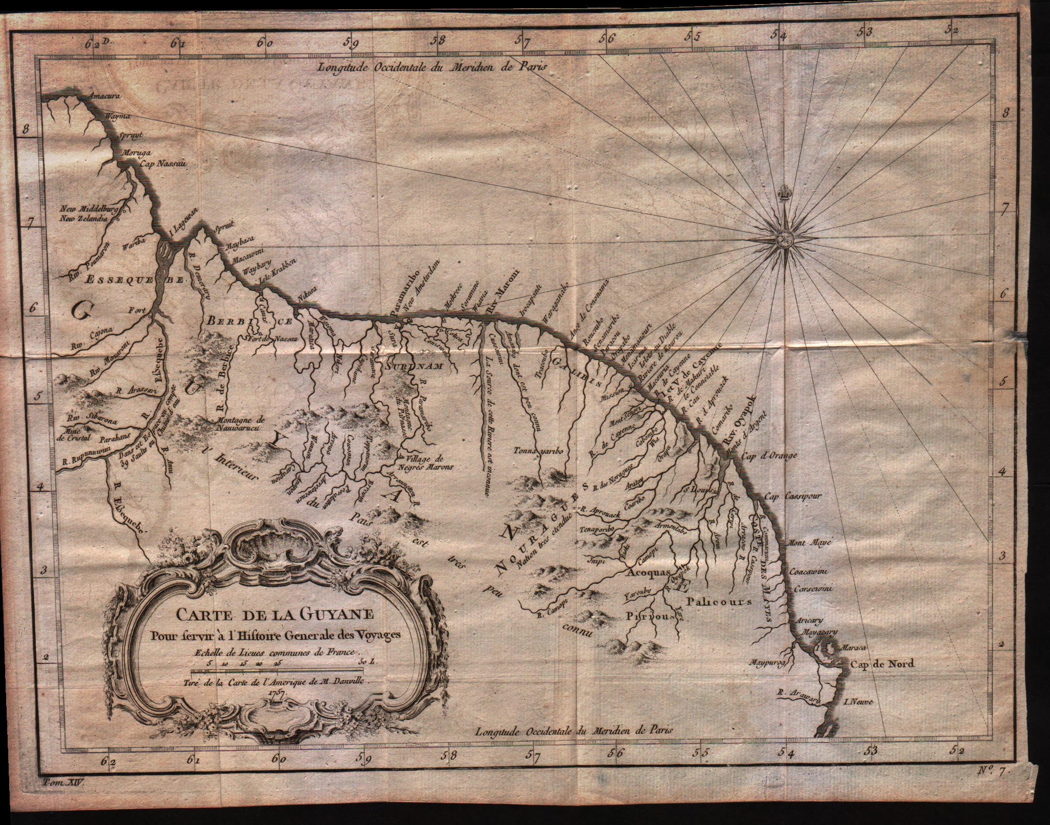
Map title
Carte de la Guyane
Author
Bellin
Location shown in map
Guyane
Edition date
1757
Edition place
Paris
Editor
--
Atlas
Historie General des Voyages -- Prevost
Price
Please ask: info@thetreasuremaps.com
State
[mint/EXCELLENT/very good/good/fair/mediocre/poor]
Color
Black/white
Verso
Blank
Size
Plate: cm (30.5 x 22.9) inches (12.01 x 9.02) Paper: cm (33 x 25.4) inches (12.99 x 10)
Technique
Copper engraving
Note
No particular notes for this maps
Reference
--
Wiki
Here for more info
In stock
Available
Info
info@thetreasuremaps.com
Code
#0021
×
![]()
Map title
La ville de Cayenne
Author
Bellin
Location shown in map
Cayenna
Edition date
1757
Edition place
Paris
Editor
--
Atlas
Historie General des Voyages -- Prevost
Price
Please ask: info@thetreasuremaps.com
State
[mint/EXCELLENT/very good/good/fair/mediocre/poor]
Color
Black/white
Verso
Blank
Size
Plate: cm (29.2 x 24.1) inches (11.5 x 9.49) Paper: cm (26.7 x 22.9) inches (10.51 x 9.02)
Technique
Copper engraving
Note
No particular notes for this maps
Reference
--
Wiki
Here for more info
In stock
Sold
Info
info@thetreasuremaps.com
Code
#0022
×
![]()
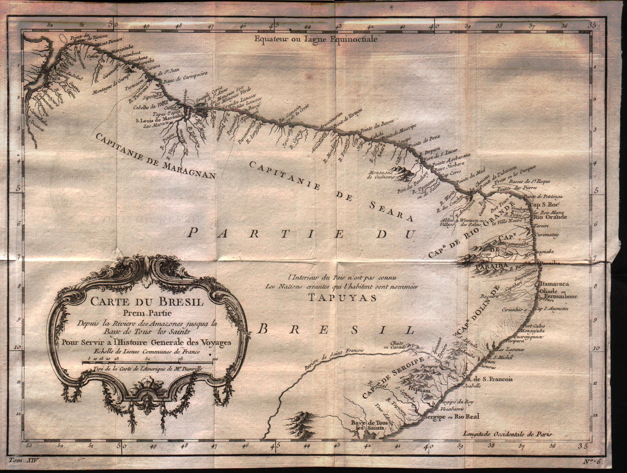
Map title
Carte du Bresil Prem.Partie
Author
Bellin
Location shown in map
Brasil
Edition date
1757
Edition place
Paris
Editor
--
Atlas
Historie General des Voyages -- Prevost
Price
125 Euro
State
[mint/EXCELLENT/very good/good/fair/mediocre/poor]
Color
Black/white
Verso
Blank
Size
Plate: cm (34.3 x 25.4) inches (13.5 x 10) Paper: cm (31.8 x 24.1) inches (12.52 x 9.49)
Technique
Copper engraving
Note
No particular notes for this maps
Reference
--
Wiki
Here for more info
In stock
Available
Info
info@thetreasuremaps.com
Code
#0023
×
![]()
Map title
Carte des provinces de Caracas, Comana et Paria
Author
Bellin
Location shown in map
Caracas
Edition date
1757
Edition place
Paris
Editor
--
Atlas
Historie General des Voyages -- Prevost
Price
Please ask: info@thetreasuremaps.com
State
[mint/EXCELLENT/very good/good/fair/mediocre/poor]
Color
Black/white
Verso
Blank
Size
Plate: cm (31.8 x 22.9) inches (12.52 x 9.02) Paper: cm (29.2 x 22.9) inches (11.5 x 9.02)
Technique
Copper engraving
Note
No particular notes for this maps
Reference
--
Wiki
Here for more info
In stock
Available
Info
info@thetreasuremaps.com
Code
#0024
×
![]()
Map title
Carte des provinces de Cartagene,St.Marthe et Venezuela
Author
Bellin
Location shown in map
Venezuela
Edition date
1757
Edition place
Paris
Editor
--
Atlas
Historie General des Voyages -- Prevost
Price
Please ask: info@thetreasuremaps.com
State
[mint/EXCELLENT/very good/good/fair/mediocre/poor]
Color
Black/white
Verso
Blank
Size
Plate: cm (30.5 x 21.6) inches (12.01 x 8.5) Paper: cm (27.9 x 20.3) inches (10.98 x 7.99)
Technique
Copper engraving
Note
No particular notes for this maps
Reference
--
Wiki
Here for more info
In stock
Available
Info
info@thetreasuremaps.com
Code
#0025
×
![]()
Map title
Carte des Provinces de Tierra Firme, Darien, Cartagene et Nouvelle Grenade
Author
Bellin
Location shown in map
--
Edition date
1757
Edition place
Paris
Editor
--
Atlas
Historie General des Voyages -- Prevost
Price
Please ask: info@thetreasuremaps.com
State
[mint/EXCELLENT/very good/good/fair/mediocre/poor]
Color
Black/white
Verso
Blank
Size
Plate: cm (25.4 x 20.3) inches (10 x 7.99) Paper: cm (33 x 25.4) inches (12.99 x 10)
Technique
Copper engraving
Note
No particular notes for this maps
Reference
--
Wiki
Here for more info
In stock
Available
Info
info@thetreasuremaps.com
Code
#0026
×
![]()
Map title
Amerique Meridionale
Author
Bellin
Location shown in map
--
Edition date
1757
Edition place
Paris
Editor
--
Atlas
Historie General des Voyages -- Prevost
Price
Please ask: info@thetreasuremaps.com
State
[mint/EXCELLENT/very good/good/fair/mediocre/poor]
Color
Black/white
Verso
Blank
Size
Plate: cm (15.2 x 20.3) inches (5.98 x 7.99) Paper: cm (15.2 x 20.3) inches (5.98 x 7.99)
Technique
Copper engraving
Note
No particular notes for this maps
Reference
--
Wiki
Here for more info
In stock
Available
Info
info@thetreasuremaps.com
Code
#0027
×
![]()
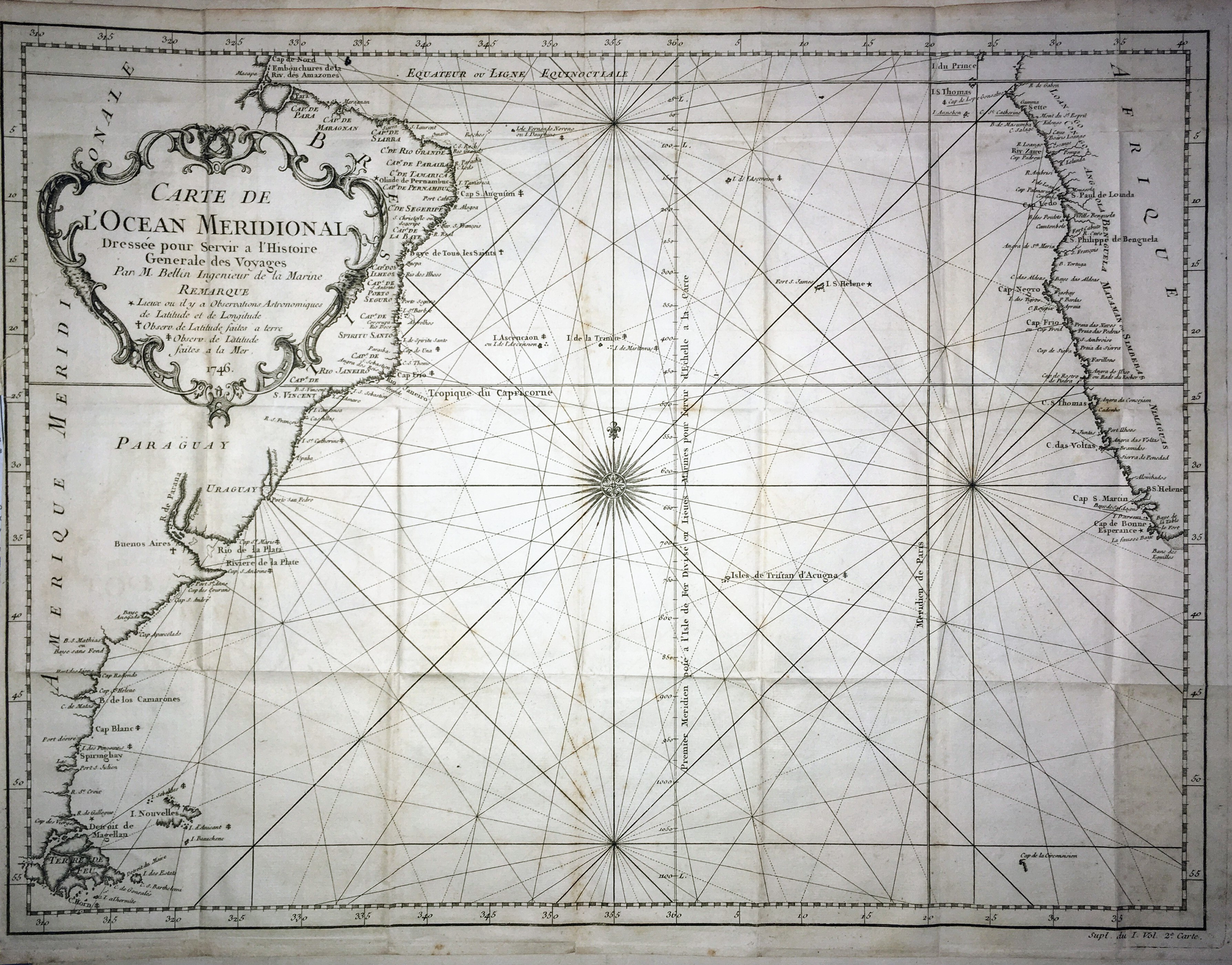
Map title
Carte de l'ocean Meridional
Author
Bellin
Location shown in map
--
Edition date
1757
Edition place
Paris
Editor
--
Atlas
Historie General des Voyages -- Prevost
Price
Please ask: info@thetreasuremaps.com
State
[mint/excellent/VERY GOOD/good/fair/mediocre/poor]
Color
Black/white
Verso
Blank
Size
Plate: cm (45.7 x 34.3) inches (17.99 x 13.5) Paper: cm (50.8 x 36.8) inches (20 x 14.49)
Technique
Copper engraving
Note
No particular notes for this maps
Reference
--
Wiki
Here for more info
In stock
Available
Info
info@thetreasuremaps.com
Code
#0028
×
![]()
Map title
Carte de la province de Quito au Perou
Author
Bellin
Location shown in map
--
Edition date
1757
Edition place
Paris
Editor
--
Atlas
Historie General des Voyages -- Prevost
Price
250 Euro
State
[mint/excellent/VERY GOOD/good/fair/mediocre/poor]
Color
Black/white
Verso
Blank
Size
Plate: cm (34.3 x 58.4) inches (13.5 x 22.99) Paper: cm (34.3 x 58.4) inches (13.5 x 22.99)
Technique
Copper engraving
Note
No particular notes for this maps
Reference
--
Wiki
Here for more info
In stock
Available
Info
info@thetreasuremaps.com
Code
#0029
×
![]()
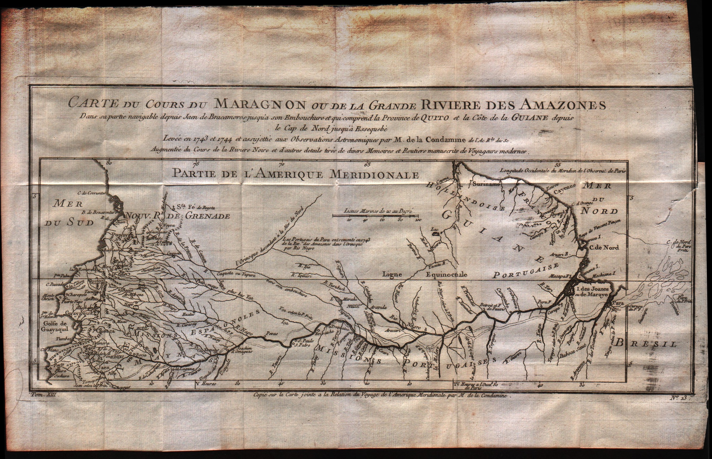
Map title
Carte du cours du Maragnon ou de la Grande Riviere des Amazones
Author
Bellin
Location shown in map
--
Edition date
1757
Edition place
Paris
Editor
--
Atlas
Historie General des Voyages -- Prevost
Price
Please ask: info@thetreasuremaps.com
State
[mint/excellent/VERY GOOD/good/fair/mediocre/poor]
Color
Black/white
Verso
Blank
Size
Plate: cm (36.8 x 17.8) inches (14.49 x 7.01) Paper: cm (39.4 x 25.4) inches (15.51 x 10)
Technique
Copper engraving
Note
No particular notes for this maps
Reference
--
Wiki
Here for more info
In stock
Available
Info
info@thetreasuremaps.com
Code
#0030
×
![]()
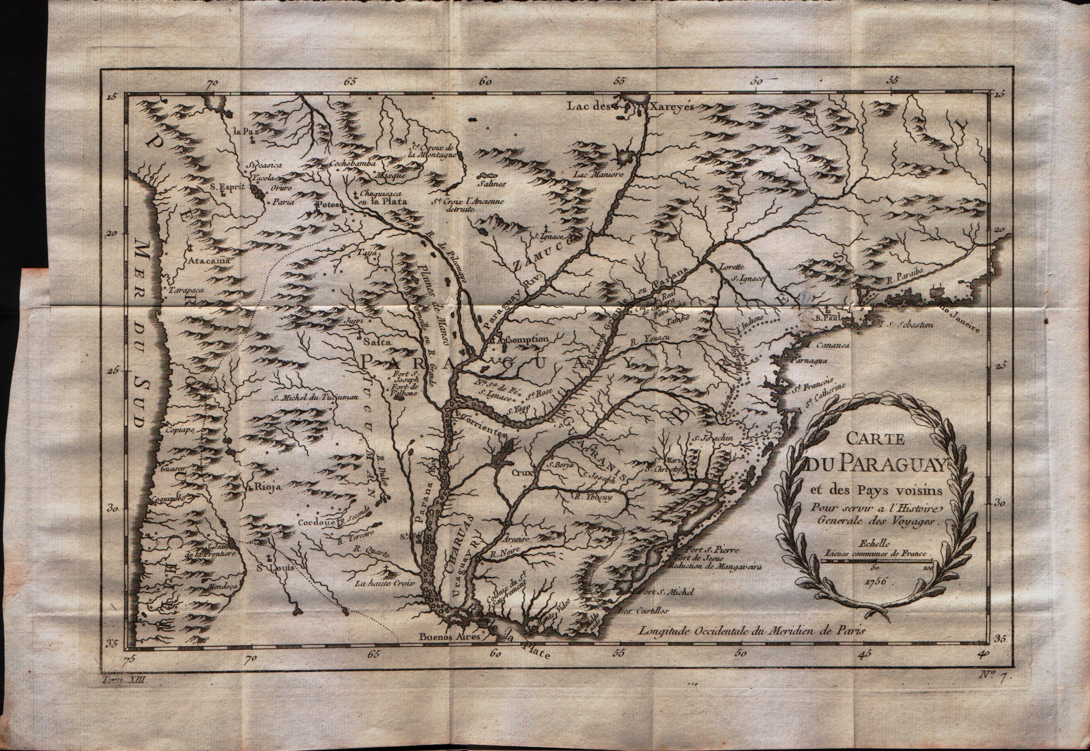
Map title
Carte du Paraguay et des pays voisins
Author
Bellin
Location shown in map
--
Edition date
1757
Edition place
Paris
Editor
--
Atlas
Historie General des Voyages -- Prevost
Price
Please ask: info@thetreasuremaps.com
State
[mint/EXCELLENT/very good/good/fair/mediocre/poor]
Color
Black/white
Verso
Blank
Size
Plate: cm (30.5 x 20.3) inches (12.01 x 7.99) Paper: cm (35.6 x 25.4) inches (14.02 x 10)
Technique
Copper engraving
Note
No particular notes for this maps
Reference
--
Wiki
Here for more info
In stock
Available
Info
info@thetreasuremaps.com
Code
#0031
×
![]()
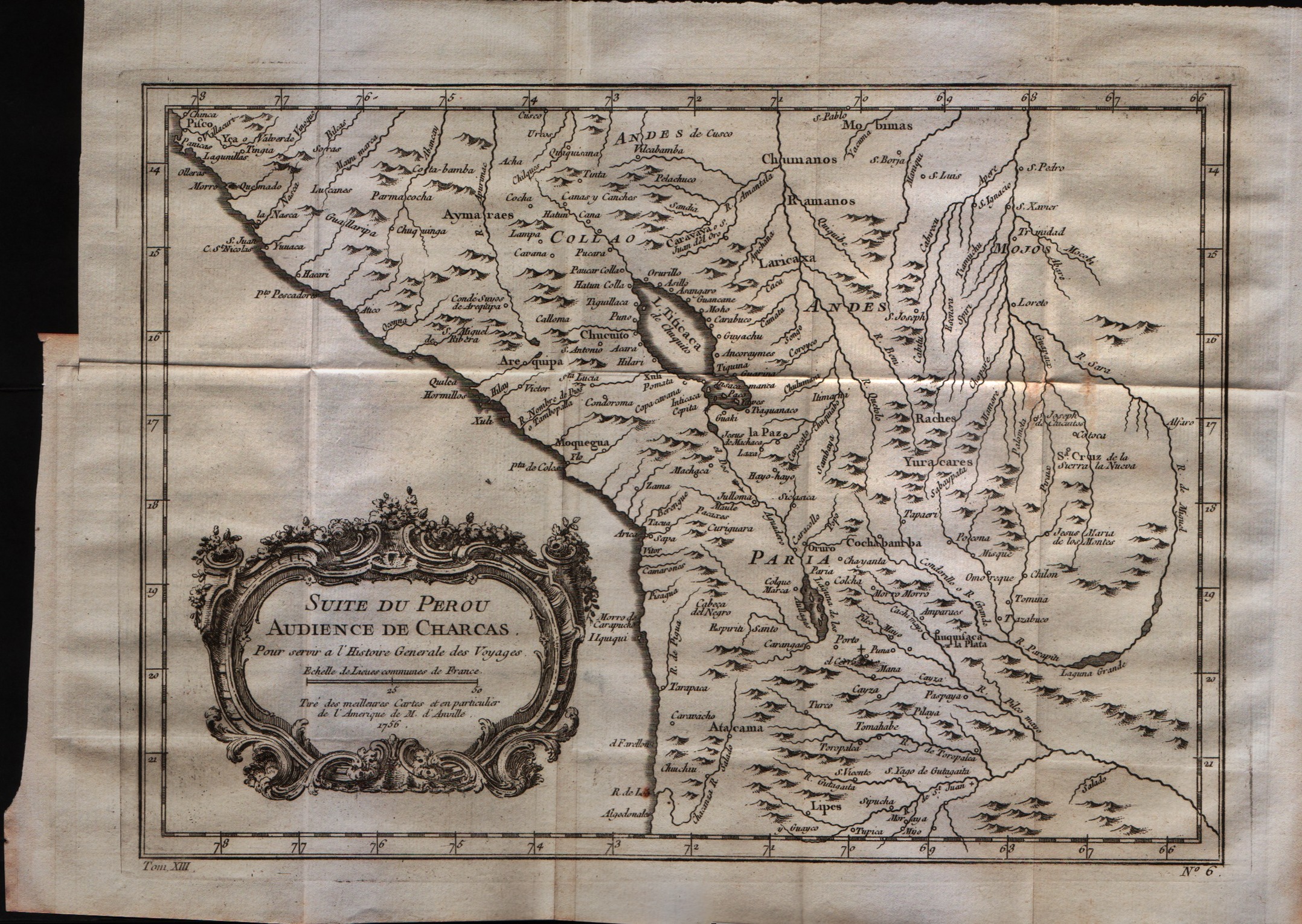
Map title
Suit du Perou audience de Charcas
Author
Bellin
Location shown in map
Peru
Edition date
1757
Edition place
Paris
Editor
--
Atlas
Historie General des Voyages -- Prevost
Price
Please ask: info@thetreasuremaps.com
State
[mint/EXCELLENT/very good/good/fair/mediocre/poor]
Color
Black/white
Verso
Blank
Size
Plate: cm (30.5 x 21.6) inches (12.01 x 8.5) Paper: cm (34.3 x 26.7) inches (13.5 x 10.51)
Technique
Copper engraving
Note
No particular notes for this maps
Reference
--
Wiki
Here for more info
In stock
Available
Info
info@thetreasuremaps.com
Code
#0032
×
![]()
Map title
Suit du Perou audience de Lima
Author
Bellin
Location shown in map
Peru
Edition date
1757
Edition place
Paris
Editor
--
Atlas
Historie General des Voyages -- Prevost
Price
Please ask: info@thetreasuremaps.com
State
[mint/EXCELLENT/very good/good/fair/mediocre/poor]
Color
Black/white
Verso
Blank
Size
Plate: cm (30.5 x 21.6) inches (12.01 x 8.5) Paper: cm (38.1 x 26.7) inches (15 x 10.51)
Technique
Copper engraving
Note
No particular notes for this maps
Reference
--
Wiki
Here for more info
In stock
Available
Info
info@thetreasuremaps.com
Code
#0033
×
![]()
Map title
Carte de l'Isle de Caienne, et de ses Environs
Author
Bellin
Location shown in map
Cayenne
Edition date
1757
Edition place
Paris
Editor
--
Atlas
Historie General des Voyages -- Prevost
Price
Please ask: info@thetreasuremaps.com
State
[mint/EXCELLENT/very good/good/fair/mediocre/poor]
Color
Black/white
Verso
Blank
Size
Plate: cm (27.9 x 21.6) inches (10.98 x 8.5) Paper: cm (30.5 x 24.1) inches (12.01 x 9.49)
Technique
Copper engraving
Note
No particular notes for this maps
Reference
--
Wiki
Here for more info
In stock
Available
Info
info@thetreasuremaps.com
Code
#0034
×
![]()
Map title
Carte reduite du detroit de Magellan dressee sur les jouraux des navigateurs
Author
Bellin
Location shown in map
Strait of Magellan
Edition date
1757
Edition place
Paris
Editor
--
Atlas
Historie General des Voyages -- Prevost
Price
Please ask: info@thetreasuremaps.com
State
[mint/EXCELLENT/very good/good/fair/mediocre/poor]
Color
Black/white
Verso
Blank
Size
Plate: cm (34.3 x 19) inches (13.5 x 7.48) Paper: cm (35.6 x 22.9) inches (14.02 x 9.02)
Technique
Copper engraving
Note
No particular notes for this maps
Reference
--
Wiki
Here for more info
In stock
Sold
Info
info@thetreasuremaps.com
Code
#0035
×
![]()
Map title
Carte de la riviere de la Plata
Author
Bellin
Location shown in map
Rio de la Plata
Edition date
1757
Edition place
Paris
Editor
--
Atlas
Historie General des Voyages -- Prevost
Price
Please ask: info@thetreasuremaps.com
State
[mint/EXCELLENT/very good/good/fair/mediocre/poor]
Color
Black/white
Verso
Blank
Size
Plate: cm (27.9 x 19) inches (10.98 x 7.48) Paper: cm (30.5 x 22.9) inches (12.01 x 9.02)
Technique
Copper engraving
Note
No particular notes for this maps
Reference
--
Wiki
Here for more info
In stock
Available
Info
info@thetreasuremaps.com
Code
#0036
×
![]()
Map title
Carte du detroit de la Maire dressee sur les jouraux des navigateurs
Author
Bellin
Location shown in map
South Argentina
Edition date
1757
Edition place
Paris
Editor
--
Atlas
Historie General des Voyages -- Prevost
Price
75 Euro
State
[mint/EXCELLENT/very good/good/fair/mediocre/poor]
Color
Black/white
Verso
Blank
Size
Plate: cm (25.4 x 20.3) inches (10 x 7.99) Paper: cm (29.2 x 22.9) inches (11.5 x 9.02)
Technique
Copper engraving
Note
No particular notes for this maps
Reference
--
Wiki
Here for more info
In stock
Available
Info
info@thetreasuremaps.com
Code
#0037
×
![]()
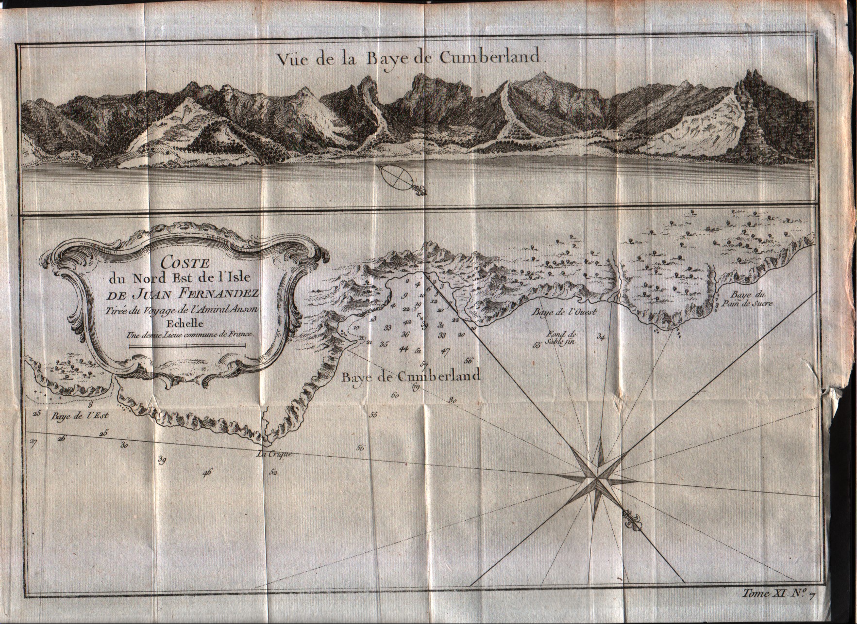
Map title
Cote du Nord Est de l'isle de Juan Fernandes
Author
Bellin
Location shown in map
Juan Fernandez island
Edition date
1757
Edition place
Paris
Editor
--
Atlas
Historie General des Voyages -- Prevost
Price
Please ask: info@thetreasuremaps.com
State
[mint/EXCELLENT/very good/good/fair/mediocre/poor]
Color
Black/white
Verso
Blank
Size
Plate: cm (27.9 x 20.3) inches (10.98 x 7.99) Paper: cm (30.5 x 22.9) inches (12.01 x 9.02)
Technique
Copper engraving
Note
No particular notes for this maps
Reference
--
Wiki
Here for more info
In stock
Available
Info
info@thetreasuremaps.com
Code
#0038
×
![]()
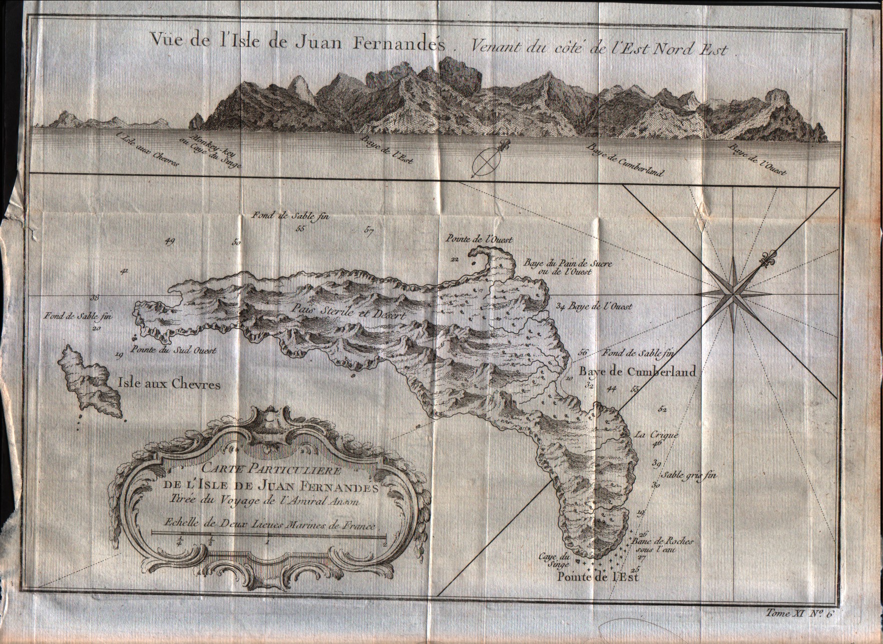
Map title
Carte particulier de l'isle de Juan Fernandes
Author
Bellin
Location shown in map
Juan Fernandez island
Edition date
1757
Edition place
Paris
Editor
--
Atlas
Historie General des Voyages -- Prevost
Price
Please ask: info@thetreasuremaps.com
State
[mint/EXCELLENT/very good/good/fair/mediocre/poor]
Color
Black/white
Verso
Blank
Size
Plate: cm (27.9 x 20.3) inches (10.98 x 7.99) Paper: cm (30.5 x 22.9) inches (12.01 x 9.02)
Technique
Copper engraving
Note
No particular notes for this maps
Reference
--
Wiki
Here for more info
In stock
Available
Info
info@thetreasuremaps.com
Code
#0039
×
![]()
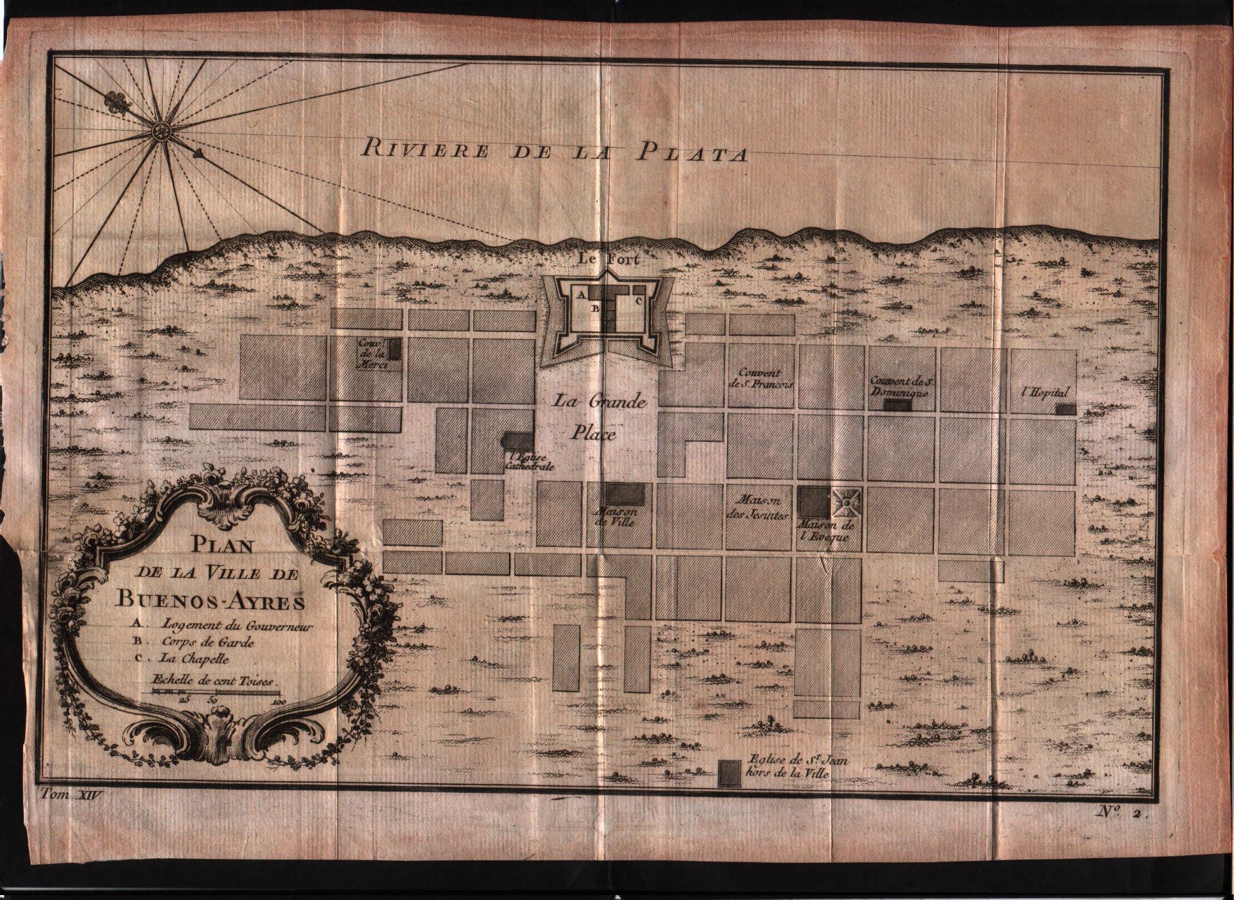
Map title
Plan de la Ville de Buenos-Ayres
Author
Bellin
Location shown in map
--
Edition date
1757
Edition place
Paris
Editor
--
Atlas
Historie General des Voyages -- Prevost
Price
150 Euro
State
[mint/EXCELLENT/very good/good/fair/mediocre/poor]
Color
Black/white
Verso
Blank
Size
Plate: cm (29.2 x 20.3) inches (11.5 x 7.99) Paper: cm (26.7 x 17.8) inches (10.51 x 7.01)
Technique
Copper engraving
Note
No particular notes for this maps
Reference
--
Wiki
Here for more info
In stock
Available
Info
info@thetreasuremaps.com
Code
#0052
×
![]()
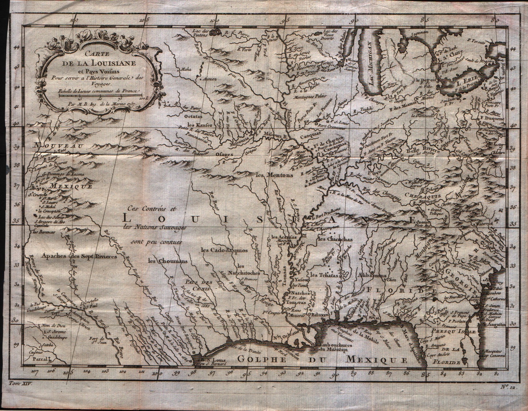
Map title
Carte de la Louisiane
Author
Bellin
Location shown in map
Louisiane
Edition date
1757
Edition place
Paris
Editor
--
Atlas
Historie General des Voyages -- Prevost
Price
350 Euro
State
[mint/excellent/VERY GOOD/good/fair/mediocre/poor]
Color
Black/white
Verso
Blank
Size
Plate: cm (30.5 x 21.6) inches (12.01 x 8.5) Paper: cm (30.5 x 24.1) inches (12.01 x 9.49)
Technique
Copper engraving
Note
Bellin notes all major river systems, especially the Mississippi system upon which their claims rested, and many of the French forts, including Detroit, Fort Duquesne (Pittsburgh), Fort de la Presque Isle (Erie), Sandoske, and Fort Checagou.
Reference
--
Wiki
Here for more info
In stock
Available
Info
info@thetreasuremaps.com
Code
#0059
×
![]()
Map title
Carte des lacs du Canada
Author
Bellin
Location shown in map
Lakes of Canada
Edition date
1757
Edition place
Paris
Editor
--
Atlas
Historie General des Voyages -- Prevost
Price
Please ask: info@thetreasuremaps.com
State
[mint/excellent/VERY GOOD/good/fair/mediocre/poor] The map has a small hole in the left size.
Color
Black/white
Verso
Blank
Size
Plate: cm (27.9 x 19) inches (10.98 x 7.48) Paper: cm (30.5 x 22.9) inches (12.01 x 9.02)
Technique
Copper engraving
Note
Bellin's map has the five lakes in an appropriate scale and with the names that we know today.
Reference
--
Wiki
Here for more info
In stock
Sold
Info
info@thetreasuremaps.com
Code
#0060
×
![]()
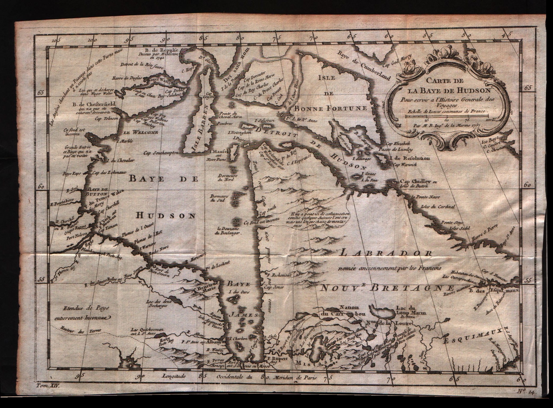
Map title
Carte de la baie de Hudson
Author
Bellin
Location shown in map
Hudson bay
Edition date
1757
Edition place
Paris
Editor
--
Atlas
Historie General des Voyages -- Prevost
Price
175 Euro
State
[mint/excellent/VERY GOOD/good/fair/mediocre/poor]
Color
Black/white
Verso
Blank
Size
Plate: cm (29.2 x 21.6) inches (11.5 x 8.5) Paper: cm (30.5 x 24.1) inches (12.01 x 9.49)
Technique
Copper engraving
Note
No particular notes for this maps
Reference
--
Wiki
Here for more info
In stock
Available
Info
info@thetreasuremaps.com
Code
#0061
×
![]()
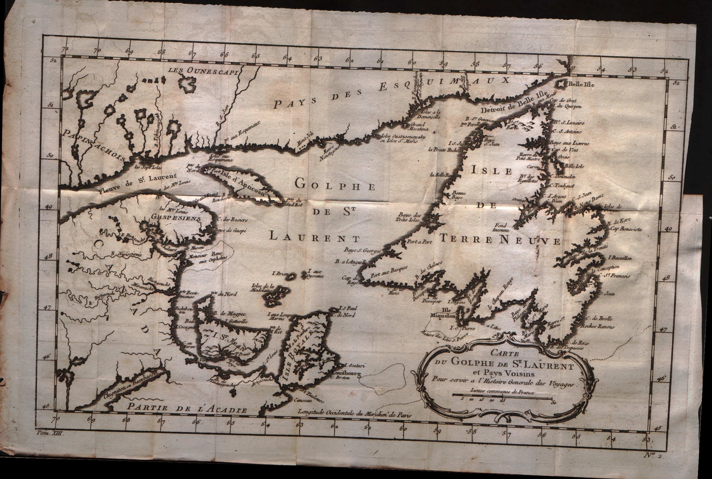
Map title
Carte du golphe de S.Laurent et pays voisins
Author
Bellin
Location shown in map
--
Edition date
1757
Edition place
Paris
Editor
--
Atlas
Historie General des Voyages -- Prevost
Price
150 Euro
State
[mint/excellent/VERY GOOD/good/fair/mediocre/poor]
Color
Black/white
Verso
Blank
Size
Plate: cm (34.3 x 21.6) inches (13.5 x 8.5) Paper: cm (38.1 x 25.4) inches (15 x 10)
Technique
Copper engraving
Note
No particular notes for this maps
Reference
--
Wiki
Here for more info
In stock
Available
Info
info@thetreasuremaps.com
Code
#0062
×
![]()
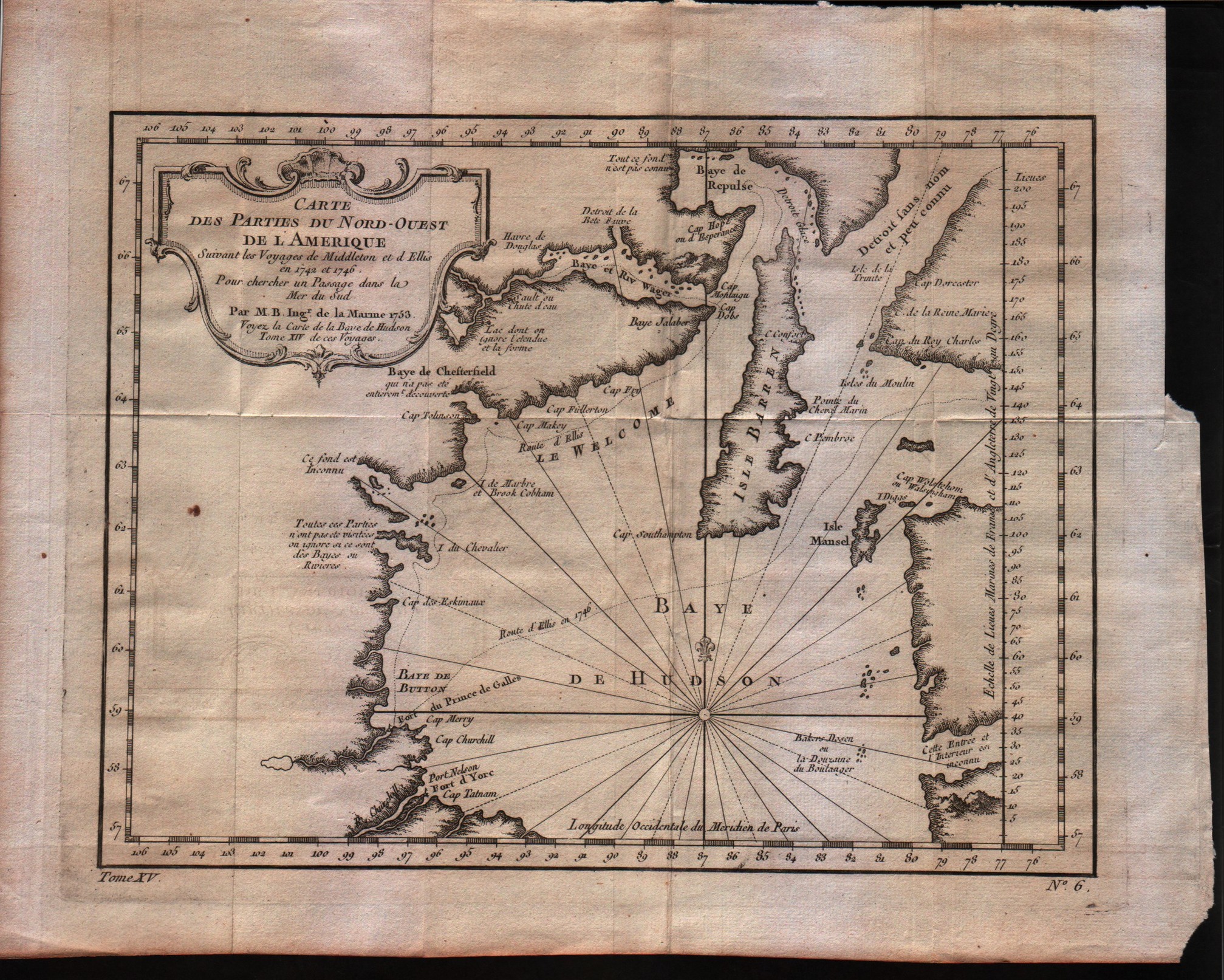
Map title
Carte des parties du Nord-Ouest de l'Amerique
Author
Bellin
Location shown in map
North-west of America
Edition date
1757
Edition place
Paris
Editor
--
Atlas
Historie General des Voyages -- Prevost
Price
125 Euro
State
[mint/excellent/VERY GOOD/good/fair/mediocre/poor]
Color
Black/white
Verso
Blank
Size
Plate: cm (27.3 x 22.2) inches (10.75 x 8.74) Paper: cm (31.8 x 26.7) inches (12.52 x 10.51)
Technique
Copper engraving
Note
No particular notes for this maps
Reference
--
Wiki
Here for more info
In stock
Available
Info
info@thetreasuremaps.com
Code
#0063
×
![]()
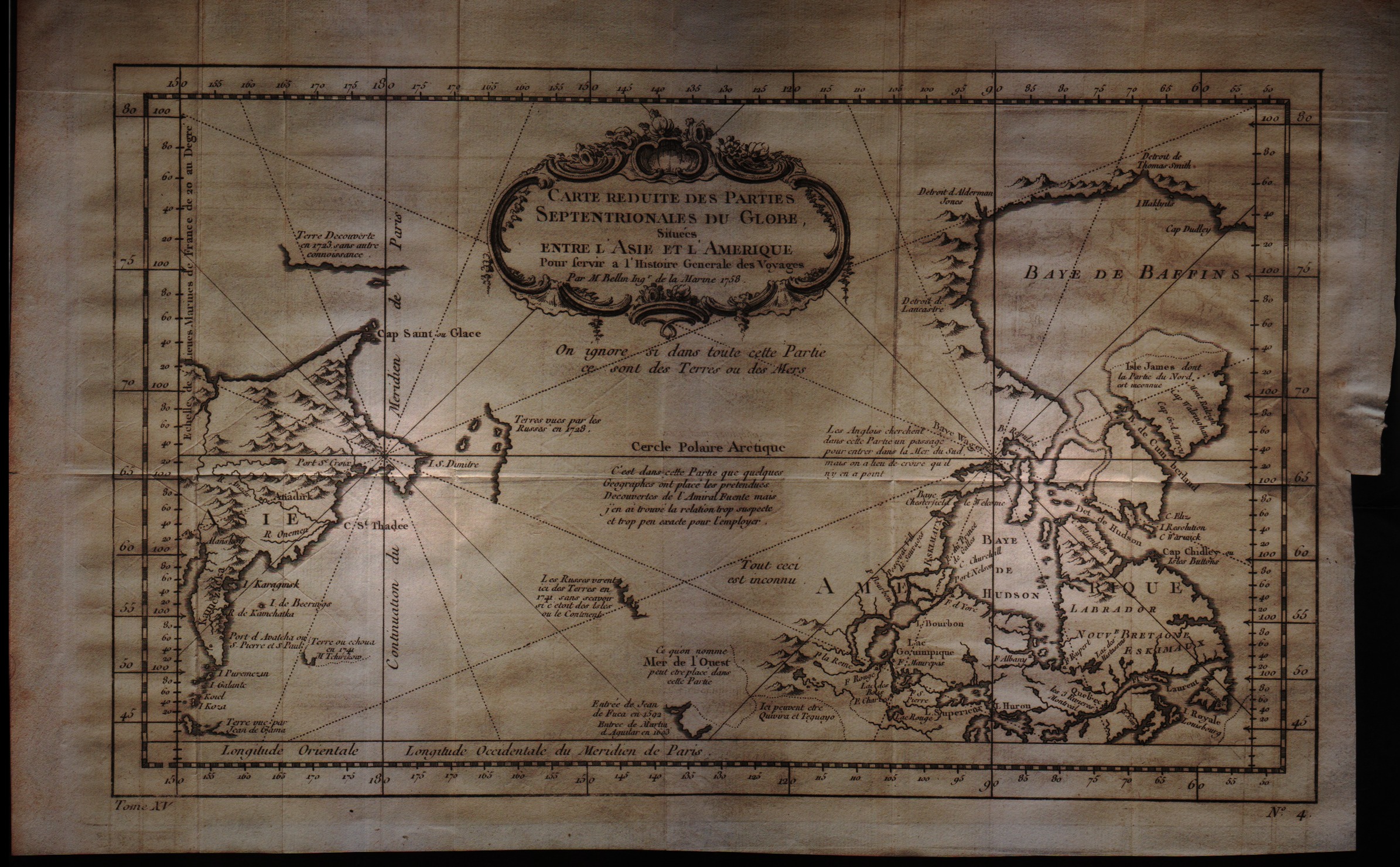
Map title
Carte reduite des parties Septentrionales du Globe situees entre l'Asie et l'Amerique
Author
Bellin
Location shown in map
--
Edition date
1757
Edition place
Paris
Editor
--
Atlas
Historie General des Voyages -- Prevost
Price
200 Euro
State
[mint/excellent/VERY GOOD/good/fair/mediocre/poor]
Color
Black/white
Verso
Blank
Size
Plate: cm (34.3 x 21.6) inches (13.5 x 8.5) Paper: cm (38.1 x 25.4) inches (15 x 10)
Technique
Copper engraving
Note
No particular notes for this maps
Reference
--
Wiki
Here for more info
In stock
Available
Info
info@thetreasuremaps.com
Code
#0064
×
![]()
Map title
Carte reduite des mers du nord
Author
Bellin
Location shown in map
North Atlantic
Edition date
1757
Edition place
Paris
Editor
--
Atlas
Historie General des Voyages -- Prevost
Price
250 Euro
State
[mint/excellent/very good/good/fair/MEDIOCRE/poor], the map is damaged
Color
Black/white
Verso
Blank
Size
Plate: cm ( x ) inches (0 x 0) Paper: cm ( x ) inches (0 x 0)
Technique
Copper engraving
Note
No particular notes for this maps
Reference
--
Wiki
Here for more info
In stock
Available
Info
info@thetreasuremaps.com
Code
#0065
×
![]()
Map title
Carte de l'ocean Occidental
Author
Bellin
Location shown in map
Mid-Atlantic
Edition date
1757
Edition place
Paris
Editor
--
Atlas
Historie General des Voyages -- Prevost
Price
400 Euro
State
[mint/excellent/VERY GOOD/good/fair/mediocre/poor]
Color
Black/white
Verso
Blank
Size
Plate: cm (45.7 x 31.8) inches (17.99 x 12.52) Paper: cm (49.5 x 34.3) inches (19.49 x 13.5)
Technique
Copper engraving
Note
An attractive and desirable 18th-century nautical style map of the Atlantic Ocean, with parts of Western Africa, New England, Europe, and South America. The map boasts a highly decorative cartouche and beautiful compass rose. It is nicely engraved and names dozens of important cities and ports.
Reference
--
Wiki
Here for more info
In stock
Available
Info
info@thetreasuremaps.com
Code
#0066
×
![]()
Map title
Carte de la baye de Chesapeack et Pays Voisins
Author
Bellin
Location shown in map
--
Edition date
1757
Edition place
Paris
Editor
--
Atlas
Historie General des Voyages -- Prevost
Price
Please ask: info@thetreasuremaps.com
State
[mint/excellent/VERY GOOD/good/fair/mediocre/poor]
Color
Black/white
Verso
Blank
Size
Plate: cm (27.9 x 19) inches (10.98 x 7.48) Paper: cm (30.5 x 22.9) inches (12.01 x 9.02)
Technique
Copper engraving
Note
No particular notes for this maps
Reference
--
Wiki
Here for more info
In stock
Sold
Info
info@thetreasuremaps.com
Code
#0067
×
![]()
Map title
Carte du cours du Fleuve de S.Laurent depuis son embouchure jusqu'au dessus de Quebec
Author
Bellin
Location shown in map
--
Edition date
1757
Edition place
Paris
Editor
--
Atlas
Historie General des Voyages -- Prevost
Price
150 Euro
State
[mint/excellent/VERY GOOD/good/fair/mediocre/poor]
Color
Black/white
Verso
Blank
Size
Plate: cm (29.2 x 19) inches (11.5 x 7.48) Paper: cm (31.8 x 22.9) inches (12.52 x 9.02)
Technique
Copper engraving
Note
No particular notes for this maps
Reference
--
Wiki
Here for more info
In stock
Available
Info
info@thetreasuremaps.com
Code
#0068
×
![]()
Map title
Carte de l'Acadie et pais voisins
Author
Bellin
Location shown in map
--
Edition date
1757
Edition place
Paris
Editor
--
Atlas
Historie General des Voyages -- Prevost
Price
200 Euro
State
[mint/excellent/VERY GOOD/good/fair/mediocre/poor]
Color
Black/white
Verso
Blank
Size
Plate: cm (31.8 x 20.3) inches (12.52 x 7.99) Paper: cm (34.3 x 24.1) inches (13.5 x 9.49)
Technique
Copper engraving
Note
No particular notes for this maps
Reference
--
Wiki
Here for more info
In stock
Available
Info
info@thetreasuremaps.com
Code
#0069
×
![]()
Map title
Carta Des Isles Canaries
Author
Bellin
Location shown in map
Canary inslands
Edition date
1757
Edition place
Paris
Editor
--
Atlas
Historie General des Voyages -- Prevost
Price
100 Euro
State
[mint/EXCELLENT/very good/good/fair/mediocre/poor]
Color
Black/white
Verso
Blank
Size
Plate: cm (27.9 x 20.3) inches (10.98 x 7.99) Paper: cm (27.9 x 20.3) inches (10.98 x 7.99)
Technique
Copper engraving
Note
No particular notes for this maps
Reference
--
Wiki
Here for more info
In stock
Available
Info
info@thetreasuremaps.com
Code
#0159
×
![]()
Map title
Carte des costes de France et d'Espagne
Author
Bellin
Location shown in map
France
Edition date
1757
Edition place
Paris
Editor
--
Atlas
Historie General des Voyages -- Prevost
Price
100 Euro
State
[mint/EXCELLENT/very good/good/fair/mediocre/poor]
Color
Black/white
Verso
Blank
Size
Plate: cm (31.8 x 21) inches (12.52 x 8.27) Paper: cm (36.8 x 25.4) inches (14.49 x 10)
Technique
Copper engraving
Note
No particular notes for this maps
Reference
--
Wiki
Here for more info
In stock
Available
Info
info@thetreasuremaps.com
Code
#0160
×
![]()
Map title
Carte du golphe de Bothnie
Author
Bellin
Location shown in map
--
Edition date
1757
Edition place
Paris
Editor
--
Atlas
Historie General des Voyages -- Prevost
Price
Please ask: info@thetreasuremaps.com
State
[mint/EXCELLENT/very good/good/fair/mediocre/poor]
Color
Black/white
Verso
Blank
Size
Plate: cm (17.8 x 21) inches (7.01 x 8.27) Paper: cm (20.3 x 25.4) inches (7.99 x 10)
Technique
Copper engraving
Note
No particular notes for this maps
Reference
--
Wiki
Here for more info
In stock
Available
Info
info@thetreasuremaps.com
Code
#0161
×
![]()
Map title
Carte des environs de Tornea
Author
Bellin
Location shown in map
--
Edition date
1757
Edition place
Paris
Editor
--
Atlas
Historie General des Voyages -- Prevost
Price
Please ask: info@thetreasuremaps.com
State
[mint/EXCELLENT/very good/good/fair/mediocre/poor]
Color
Black/white
Verso
Blank
Size
Plate: cm (17.8 x 21) inches (7.01 x 8.27) Paper: cm (19 x 25.4) inches (7.48 x 10)
Technique
Copper engraving
Note
No particular notes for this maps
Reference
--
Wiki
Here for more info
In stock
Available
Info
info@thetreasuremaps.com
Code
#0162
×
![]()
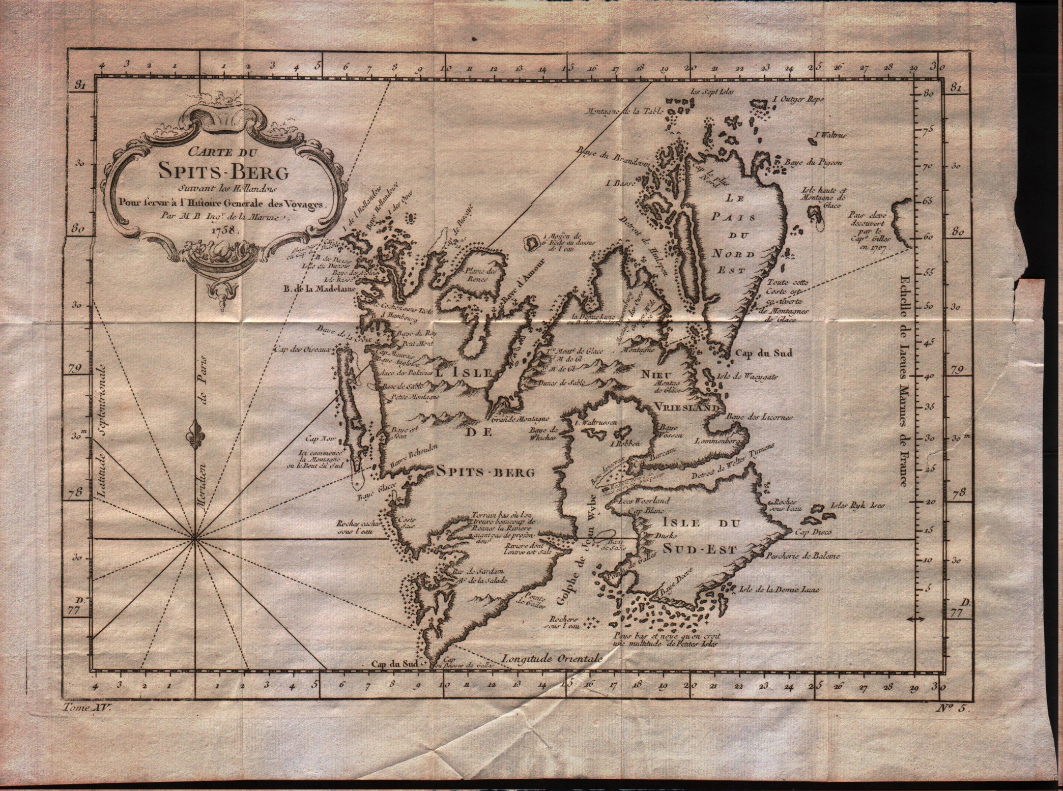
Map title
Carte du Spits-Berg
Author
Bellin
Location shown in map
Spitsberg
Edition date
1757
Edition place
Paris
Editor
--
Atlas
Historie General des Voyages -- Prevost
Price
100 Euro
State
[mint/EXCELLENT/very good/good/fair/mediocre/poor]
Color
Black/white
Verso
Blank
Size
Plate: cm (30.5 x 21.6) inches (12.01 x 8.5) Paper: cm (34.3 x 25.4) inches (13.5 x 10)
Technique
Copper engraving
Note
No particular notes for this maps
Reference
--
Wiki
Here for more info
In stock
Available
Info
info@thetreasuremaps.com
Code
#0163
×
![]()
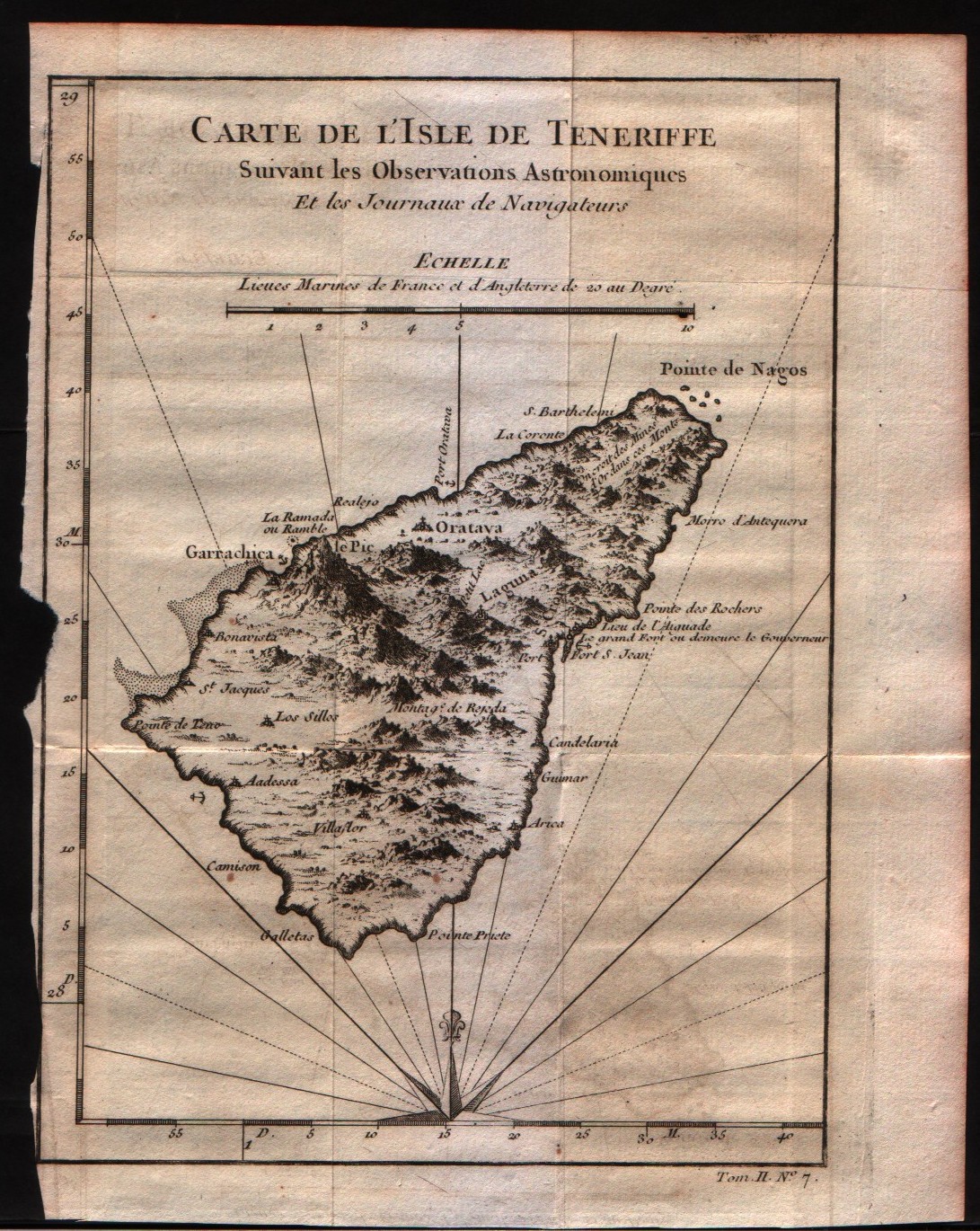
Map title
Carte de l'isles de Tenerife
Author
Bellin
Location shown in map
Tenerife
Edition date
1757
Edition place
Paris
Editor
--
Atlas
Historie General des Voyages -- Prevost
Price
100 Euro
State
[mint/EXCELLENT/very good/good/fair/mediocre/poor]
Color
Black/white
Verso
Blank
Size
Plate: cm (15.2 x 20.3) inches (5.98 x 7.99) Paper: cm (17.8 x 22.9) inches (7.01 x 9.02)
Technique
Copper engraving
Note
No particular notes for this maps
Reference
--
Wiki
Here for more info
In stock
Available
Info
info@thetreasuremaps.com
Code
#0165
×
![]()
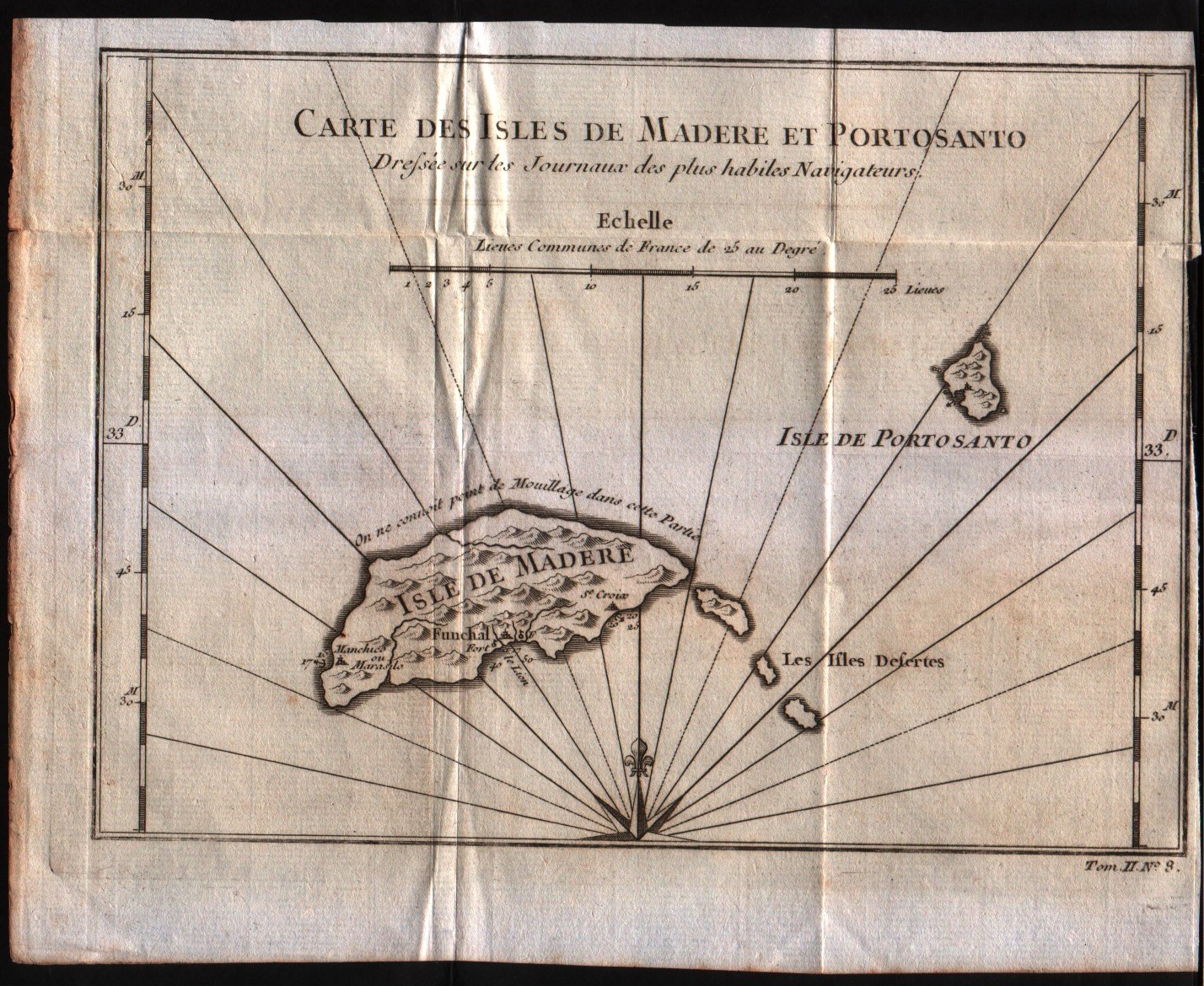
Map title
Carte de l'isles de Madere et Porto Santo
Author
Bellin
Location shown in map
Madeira island
Edition date
1757
Edition place
Paris
Editor
--
Atlas
Historie General des Voyages -- Prevost
Price
100 Euro
State
[mint/EXCELLENT/very good/good/fair/mediocre/poor]
Color
Black/white
Verso
Blank
Size
Plate: cm (21.6 x 15.2) inches (8.5 x 5.98) Paper: cm (24.1 x 19) inches (9.49 x 7.48)
Technique
Copper engraving
Note
No particular notes for this maps
Reference
--
Wiki
Here for more info
In stock
Available
Info
info@thetreasuremaps.com
Code
#0166
×
![]()
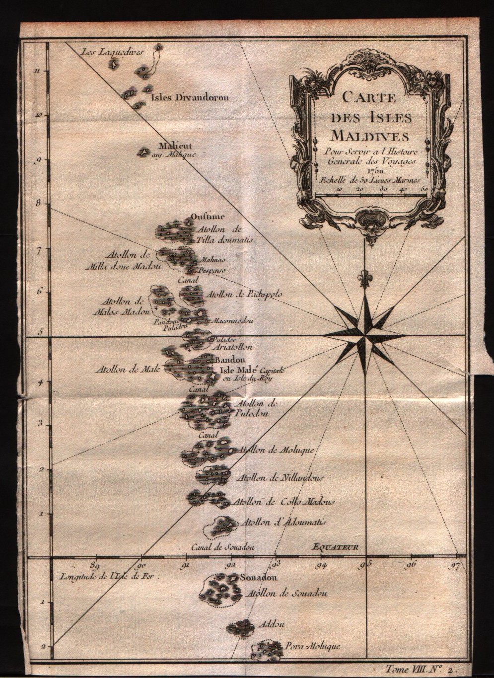
Map title
Carte des isles Maldives
Author
Bellin
Location shown in map
Maldives
Edition date
1757
Edition place
Paris
Editor
--
Atlas
Historie General des Voyages -- Prevost
Price
150 Euro
State
[mint/EXCELLENT/very good/good/fair/mediocre/poor]
Color
Black/white
Verso
Blank
Size
Plate: cm (15.2 x 21.6) inches (5.98 x 8.5) Paper: cm (15.2 x 22.9) inches (5.98 x 9.02)
Technique
Copper engraving
Note
No particular notes for this maps
Reference
--
Wiki
Here for more info
In stock
Available
Info
info@thetreasuremaps.com
Code
#0223
×
![]()
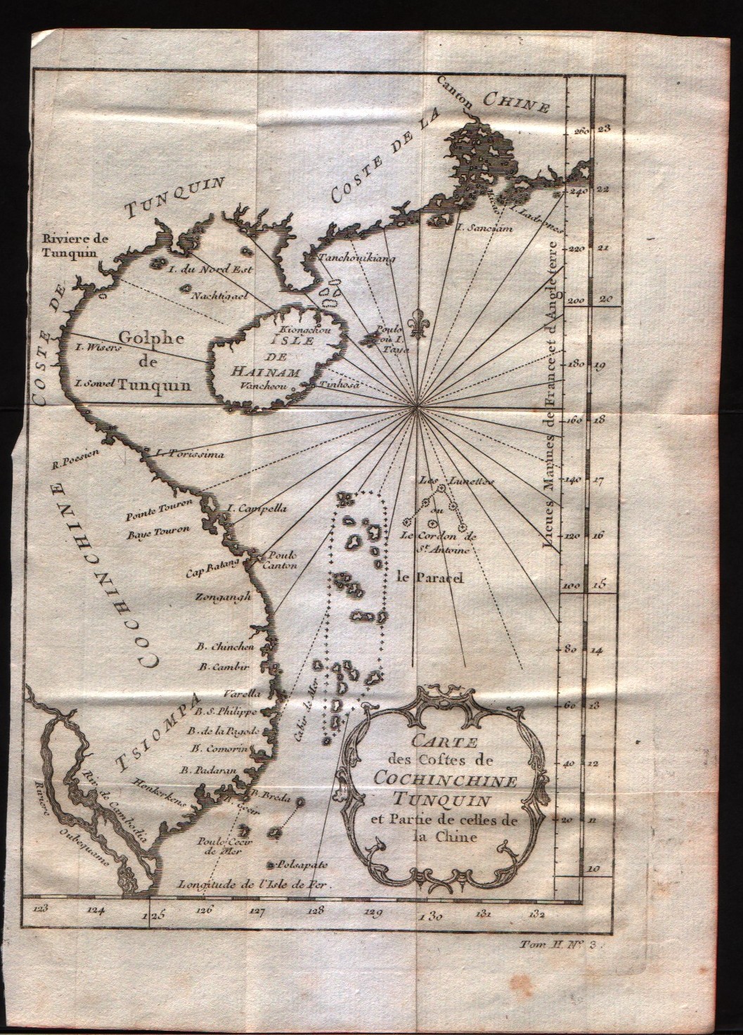
Map title
Carte des costes de Cochin Chine, Tunquin, et partie de celles de la Chine
Author
Bellin
Location shown in map
--
Edition date
1757
Edition place
Paris
Editor
--
Atlas
Historie General des Voyages -- Prevost
Price
125 Euro
State
[mint/EXCELLENT/very good/good/fair/mediocre/poor]
Color
Black/white
Verso
Blank
Size
Plate: cm (15.2 x 20.3) inches (5.98 x 7.99) Paper: cm (17.8 x 24.1) inches (7.01 x 9.49)
Technique
Copper engraving
Note
No particular notes for this maps
Reference
--
Wiki
Here for more info
In stock
Available
Info
info@thetreasuremaps.com
Code
#0224
×
![]()
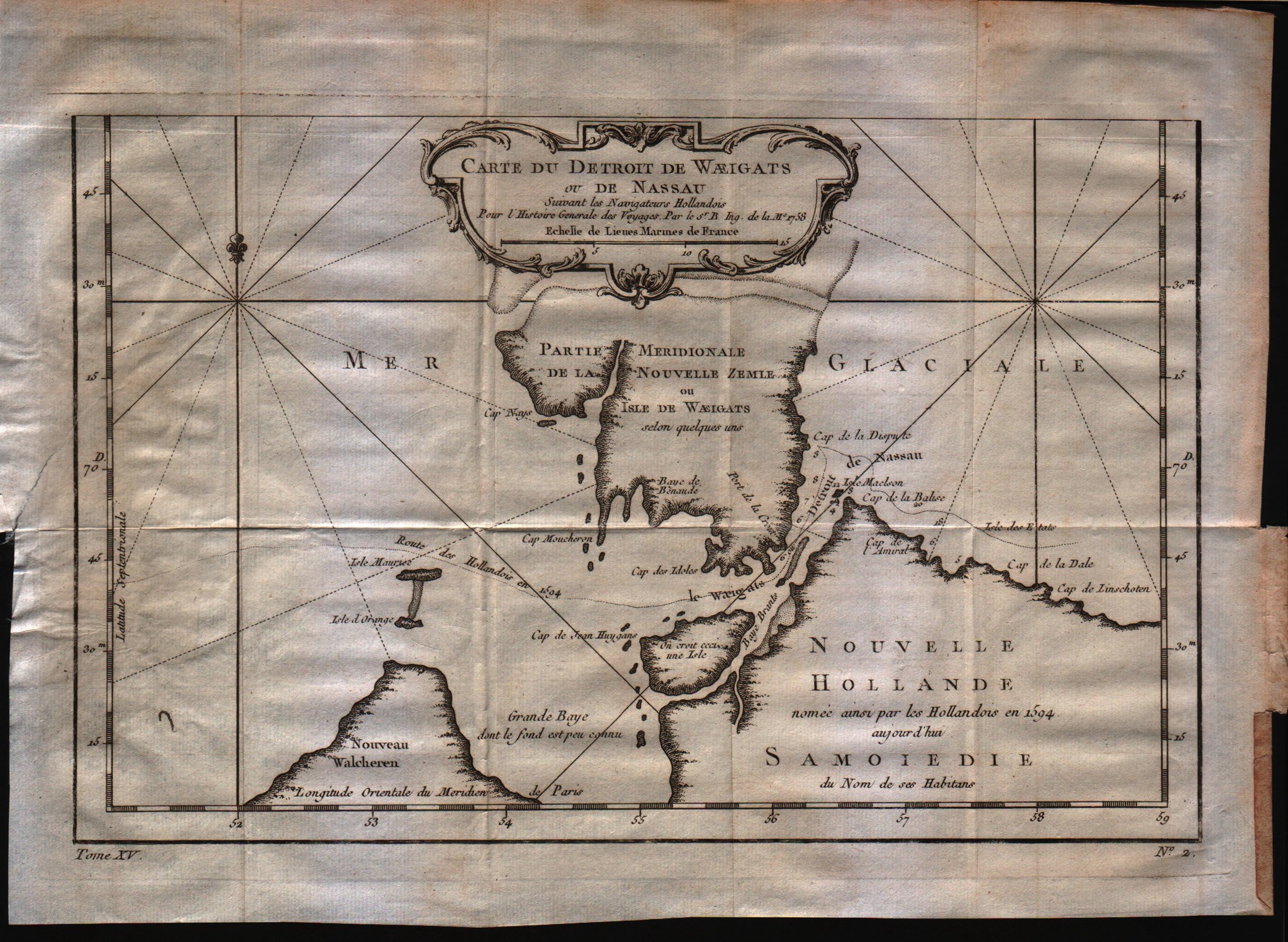
Map title
Carte du detroit de Waeigats ou de Nassau
Author
Bellin
Location shown in map
--
Edition date
1757
Edition place
Paris
Editor
--
Atlas
Historie General des Voyages -- Prevost
Price
125 Euro
State
[mint/EXCELLENT/very good/good/fair/mediocre/poor]
Color
Black/white
Verso
Blank
Size
Plate: cm (30.5 x 20.3) inches (12.01 x 7.99) Paper: cm (33 x 25.4) inches (12.99 x 10)
Technique
Copper engraving
Note
No particular notes for this maps
Reference
--
Wiki
Here for more info
In stock
Available
Info
info@thetreasuremaps.com
Code
#0225
×
![]()
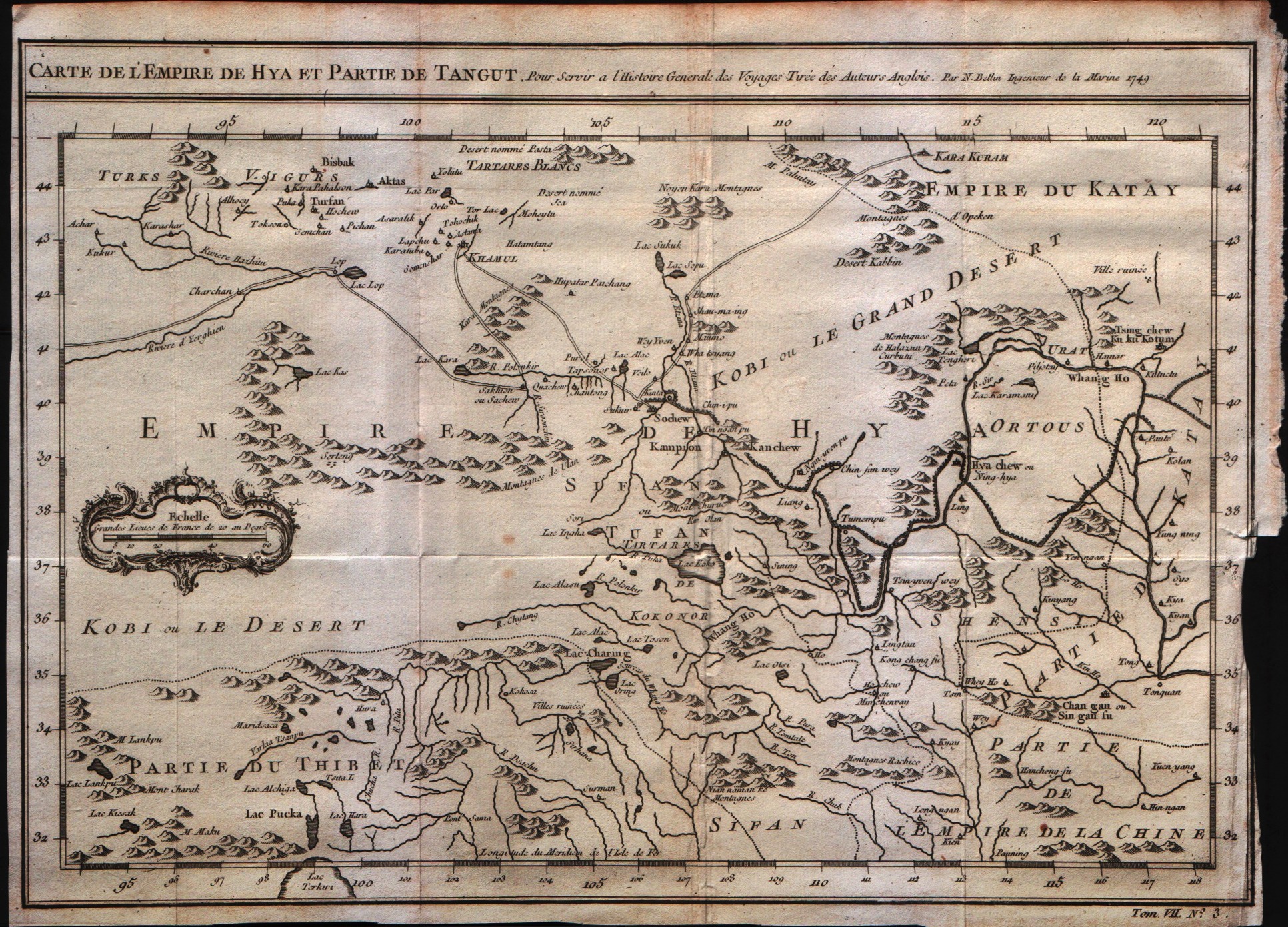
Map title
Carte de l'empire de Hya et Partie de Tangut
Author
Bellin
Location shown in map
--
Edition date
1757
Edition place
Paris
Editor
--
Atlas
Historie General des Voyages -- Prevost
Price
Please ask: info@thetreasuremaps.com
State
[mint/EXCELLENT/very good/good/fair/mediocre/poor]
Color
Black/white
Verso
Blank
Size
Plate: cm (30.5 x 21.6) inches (12.01 x 8.5) Paper: cm (31.8 x 24.1) inches (12.52 x 9.49)
Technique
Copper engraving
Note
No particular notes for this maps
Reference
--
Wiki
Here for more info
In stock
Available
Info
info@thetreasuremaps.com
Code
#0226
×
![]()
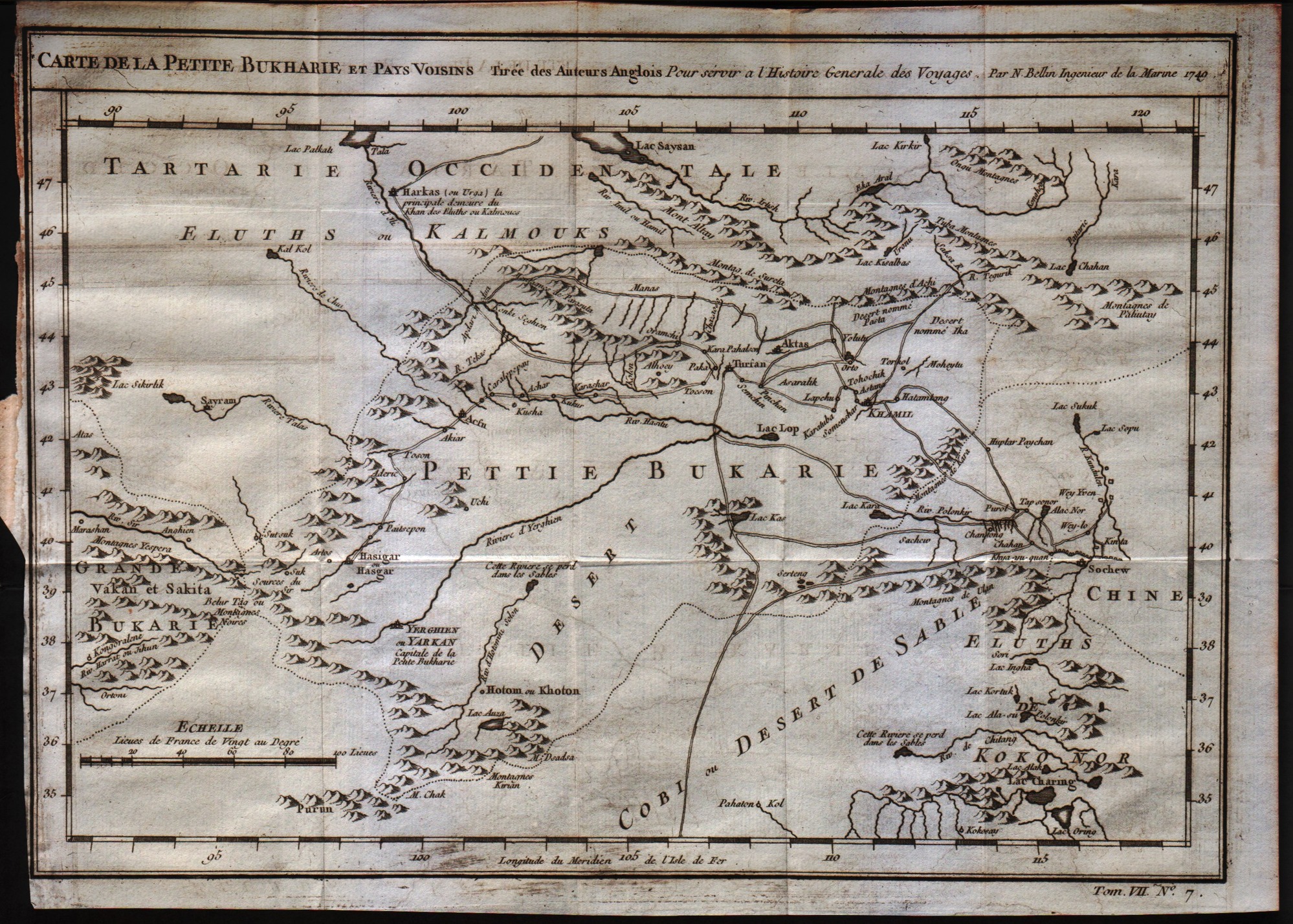
Map title
Carte de la petite Bukharie et pays voisin
Author
Bellin
Location shown in map
--
Edition date
1757
Edition place
Paris
Editor
--
Atlas
Historie General des Voyages -- Prevost
Price
Please ask: info@thetreasuremaps.com
State
[mint/EXCELLENT/very good/good/fair/mediocre/poor]
Color
Black/white
Verso
Blank
Size
Plate: cm (30.5 x 21.6) inches (12.01 x 8.5) Paper: cm (31.8 x 24.1) inches (12.52 x 9.49)
Technique
Copper engraving
Note
No particular notes for this maps
Reference
--
Wiki
Here for more info
In stock
Available
Info
info@thetreasuremaps.com
Code
#0227
×
![]()
Map title
Carte particulier des isles Moluques
Author
Bellin
Location shown in map
Moluccas
Edition date
1757
Edition place
Paris
Editor
--
Atlas
Historie General des Voyages -- Prevost
Price
Please ask: info@thetreasuremaps.com
State
[mint/EXCELLENT/very good/good/fair/mediocre/poor]
Color
Black/white
Verso
Blank
Size
Plate: cm (15.2 x 21.6) inches (5.98 x 8.5) Paper: cm (16.5 x 22.9) inches (6.5 x 9.02)
Technique
Copper engraving
Note
No particular notes for this maps
Reference
--
Wiki
Here for more info
In stock
Available
Info
info@thetreasuremaps.com
Code
#0228
×
![]()
Map title
Carte des costes de Perse Gustarat et Malabar
Author
Bellin
Location shown in map
Moluccas
Edition date
1757
Edition place
Paris
Editor
--
Atlas
Historie General des Voyages -- Prevost
Price
Please ask: info@thetreasuremaps.com
State
[mint/EXCELLENT/very good/good/fair/mediocre/poor]
Color
Black/white
Verso
Blank
Size
Plate: cm (20.3 x 24.1) inches (7.99 x 9.49) Paper: cm (22.9 x 25.4) inches (9.02 x 10)
Technique
Copper engraving
Note
No particular notes for this maps
Reference
--
Wiki
Here for more info
In stock
Available
Info
info@thetreasuremaps.com
Code
#0229
×
![]()
Map title
Carte des isles voisines des Moluques Ceram,Bouro,Amboine,Banda Neyra
Author
Bellin
Location shown in map
Ceram
Edition date
1757
Edition place
Paris
Editor
--
Atlas
Historie General des Voyages -- Prevost
Price
125 Euro
State
[mint/EXCELLENT/very good/good/fair/mediocre/poor]
Color
Black/white
Verso
Blank
Size
Plate: cm (29.2 x 20.3) inches (11.5 x 7.99) Paper: cm (30.5 x 21.6) inches (12.01 x 8.5)
Technique
Copper engraving
Note
No particular notes for this maps
Reference
--
Wiki
Here for more info
In stock
Available
Info
info@thetreasuremaps.com
Code
#0230
×
![]()
Map title
Carte de l'archipel de St.Lazare ou les isles Marianes
Author
Bellin
Location shown in map
Mariana Islands
Edition date
1757
Edition place
Paris
Editor
--
Atlas
Historie General des Voyages -- Prevost
Price
Please ask: info@thetreasuremaps.com
State
[mint/EXCELLENT/very good/good/fair/mediocre/poor]
Color
Black/white
Verso
Blank
Size
Plate: cm (15.2 x 22.9) inches (5.98 x 9.02) Paper: cm (17.8 x 25.4) inches (7.01 x 10)
Technique
Copper engraving
Note
No particular notes for this maps
Reference
--
Wiki
Here for more info
In stock
Available
Info
info@thetreasuremaps.com
Code
#0231
×
![]()
Map title
Carte de l'isle Celebes ou Macassar
Author
Bellin
Location shown in map
Celebes
Edition date
1757
Edition place
Paris
Editor
--
Atlas
Historie General des Voyages -- Prevost
Price
Please ask: info@thetreasuremaps.com
State
[mint/EXCELLENT/very good/good/fair/mediocre/poor]
Color
Black/white
Verso
Blank
Size
Plate: cm (15.2 x 19) inches (5.98 x 7.48) Paper: cm (17.8 x 21.6) inches (7.01 x 8.5)
Technique
Copper engraving
Note
No particular notes for this maps
Reference
--
Wiki
Here for more info
In stock
Available
Info
info@thetreasuremaps.com
Code
#0232
×
![]()
Map title
Carte des Isles Philippines Celebes et Moluques
Author
Bellin
Location shown in map
Philippines
Edition date
1757
Edition place
Paris
Editor
--
Atlas
Historie General des Voyages -- Prevost
Price
200 Euro
State
[mint/EXCELLENT/very good/good/fair/mediocre/poor]
Color
Black/white
Verso
Blank
Size
Plate: cm (15.2 x 21.6) inches (5.98 x 8.5) Paper: cm (17.8 x 25.4) inches (7.01 x 10)
Technique
Copper engraving
Note
No particular notes for this maps
Reference
--
Wiki
Here for more info
In stock
Available
Info
info@thetreasuremaps.com
Code
#0233
×
![]()
Map title
Carte des Isles Philippines 1Feuille
Author
Bellin
Location shown in map
Philippines
Edition date
1757
Edition place
Paris
Editor
--
Atlas
Historie General des Voyages -- Prevost
Price
200 Euro
State
[mint/EXCELLENT/very good/good/fair/mediocre/poor]
Color
Black/white
Verso
Blank
Size
Plate: cm (15.2 x 20.3) inches (5.98 x 7.99) Paper: cm (17.8 x 21.6) inches (7.01 x 8.5)
Technique
Copper engraving
Note
No particular notes for this maps
Reference
--
Wiki
Here for more info
In stock
Available
Info
info@thetreasuremaps.com
Code
#0234
×
![]()
Map title
Carte des Isles Philippines 2Feuille
Author
Bellin
Location shown in map
Philippines
Edition date
1757
Edition place
Paris
Editor
--
Atlas
Historie General des Voyages -- Prevost
Price
200 Euro
State
[mint/EXCELLENT/very good/good/fair/mediocre/poor]
Color
Black/white
Verso
Blank
Size
Plate: cm (30.5 x 20.3) inches (12.01 x 7.99) Paper: cm (31.8 x 22.9) inches (12.52 x 9.02)
Technique
Copper engraving
Note
No particular notes for this maps
Reference
--
Wiki
Here for more info
In stock
Available
Info
info@thetreasuremaps.com
Code
#0235
×
![]()
Map title
Carte du grand Thibet
Author
Bellin
Location shown in map
--
Edition date
1757
Edition place
Paris
Editor
--
Atlas
Historie General des Voyages -- Prevost
Price
Please ask: info@thetreasuremaps.com
State
[mint/EXCELLENT/very good/good/fair/mediocre/poor]
Color
Black/white
Verso
Blank
Size
Plate: cm (30.5 x 21.6) inches (12.01 x 8.5) Paper: cm (31.8 x 22.9) inches (12.52 x 9.02)
Technique
Copper engraving
Note
No particular notes for this maps
Reference
--
Wiki
Here for more info
In stock
Available
Info
info@thetreasuremaps.com
Code
#0236
×
![]()
Map title
Carte de Karazm, Turkestan et Grande Bukarie
Author
Bellin
Location shown in map
--
Edition date
1757
Edition place
Paris
Editor
--
Atlas
Historie General des Voyages -- Prevost
Price
Please ask: info@thetreasuremaps.com
State
[mint/EXCELLENT/very good/good/fair/mediocre/poor]
Color
Black/white
Verso
Blank
Size
Plate: cm (30.5 x 21.6) inches (12.01 x 8.5) Paper: cm (33 x 24.1) inches (12.99 x 9.49)
Technique
Copper engraving
Note
No particular notes for this maps
Reference
--
Wiki
Here for more info
In stock
Available
Info
info@thetreasuremaps.com
Code
#0237
×
![]()
Map title
Partie de la mer Glaciale contenant la Nouvelle Zemle et le pais des Samoidedes
Author
Bellin
Location shown in map
--
Edition date
1757
Edition place
Paris
Editor
--
Atlas
Historie General des Voyages -- Prevost
Price
Please ask: info@thetreasuremaps.com
State
[mint/EXCELLENT/very good/good/fair/mediocre/poor]
Color
Black/white
Verso
Blank
Size
Plate: cm (33 x 21.6) inches (12.99 x 8.5) Paper: cm (39.4 x 25.4) inches (15.51 x 10)
Technique
Copper engraving
Note
No particular notes for this maps
Reference
--
Wiki
Here for more info
In stock
Available
Info
info@thetreasuremaps.com
Code
#0238
×
![]()
Map title
Carte des isles du Japon et la peresqu'isle de Coree avec les costes de la Chine depuis Pekin jusqua Canton
Author
Bellin
Location shown in map
Japan
Edition date
1757
Edition place
Paris
Editor
--
Atlas
Historie General des Voyages -- Prevost
Price
250 Euro
State
[mint/EXCELLENT/very good/good/fair/mediocre/poor]
Color
Black/white
Verso
Blank
Size
Plate: cm (27.9 x 21.6) inches (10.98 x 8.5) Paper: cm (30.5 x 22.9) inches (12.01 x 9.02)
Technique
Copper engraving
Note
No particular notes for this maps
Reference
--
Wiki
Here for more info
In stock
Available
Info
info@thetreasuremaps.com
Code
#0239
×
![]()
Map title
Carte de la Province de Quan-tong ou Lyau-tong et du Royaume de Kau-li ou Coree
Author
Bellin
Location shown in map
Korea
Edition date
1757
Edition place
Paris
Editor
--
Atlas
Historie General des Voyages -- Prevost
Price
Please ask: info@thetreasuremaps.com
State
[mint/excellent/VERY GOOD/good/fair/mediocre/poor]
Color
Black/white
Verso
Blank
Size
Plate: cm (21.6 x 26.7) inches (8.5 x 10.51) Paper: cm (22.9 x 27.9) inches (9.02 x 10.98)
Technique
Copper engraving
Note
No particular notes for this maps
Reference
--
Wiki
Here for more info
In stock
Sold
Info
info@thetreasuremaps.com
Code
#0240
×
![]()
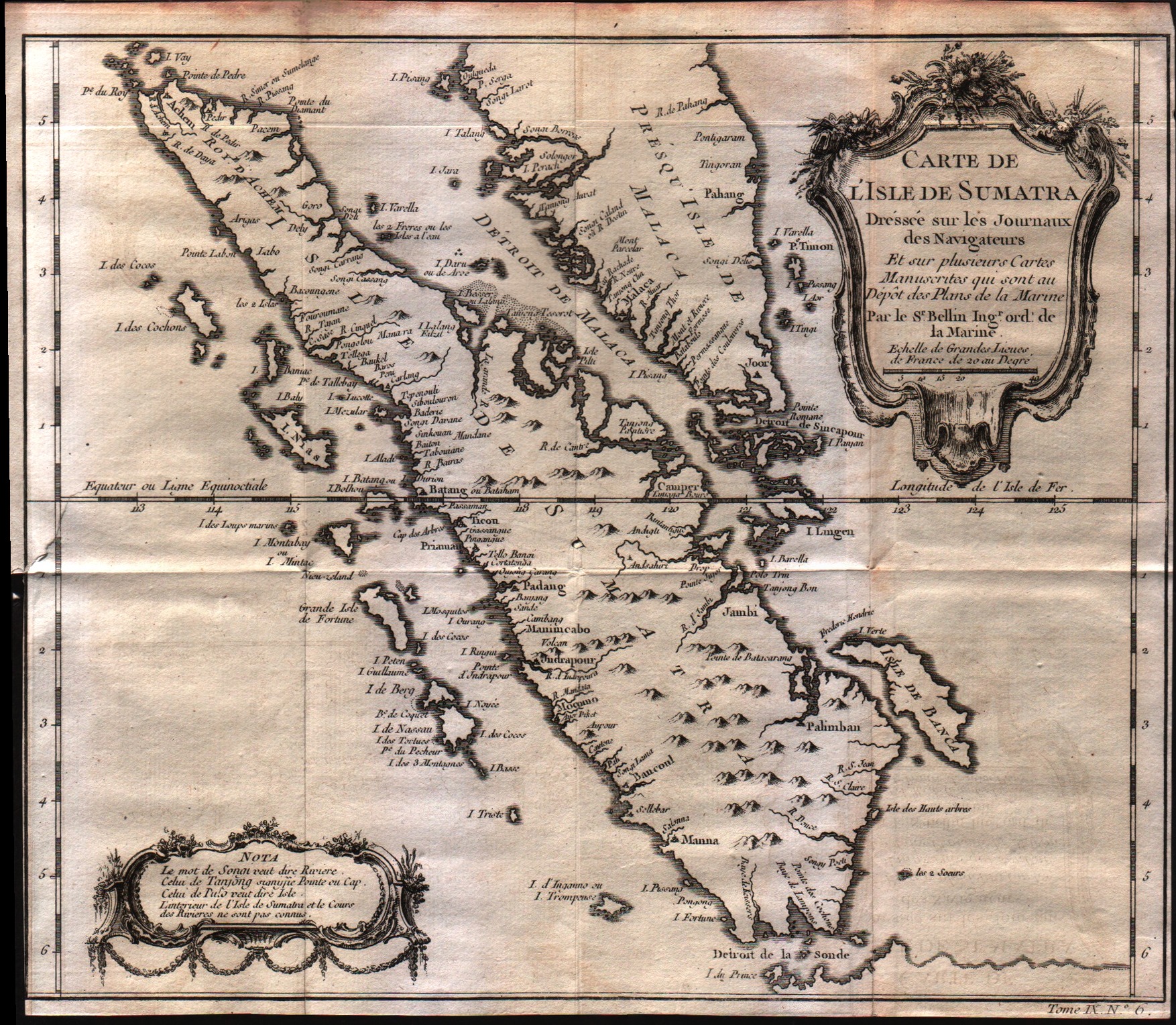
Map title
Carte De L'Isle de Sumatra
Author
Bellin
Location shown in map
--
Edition date
1757
Edition place
Paris
Editor
--
Atlas
Historie General des Voyages -- Prevost
Price
Please ask: info@thetreasuremaps.com
State
[mint/excellent/VERY GOOD/good/fair/mediocre/poor]
Color
Black/white
Verso
Blank
Size
Plate: cm (29.2 x 26.7) inches (11.5 x 10.51) Paper: cm (29.2 x 26) inches (11.5 x 10.24)
Technique
Copper engraving
Note
No particular notes for this maps
Reference
--
Wiki
Here for more info
In stock
Available
Info
info@thetreasuremaps.com
Code
#0241
×
![]()
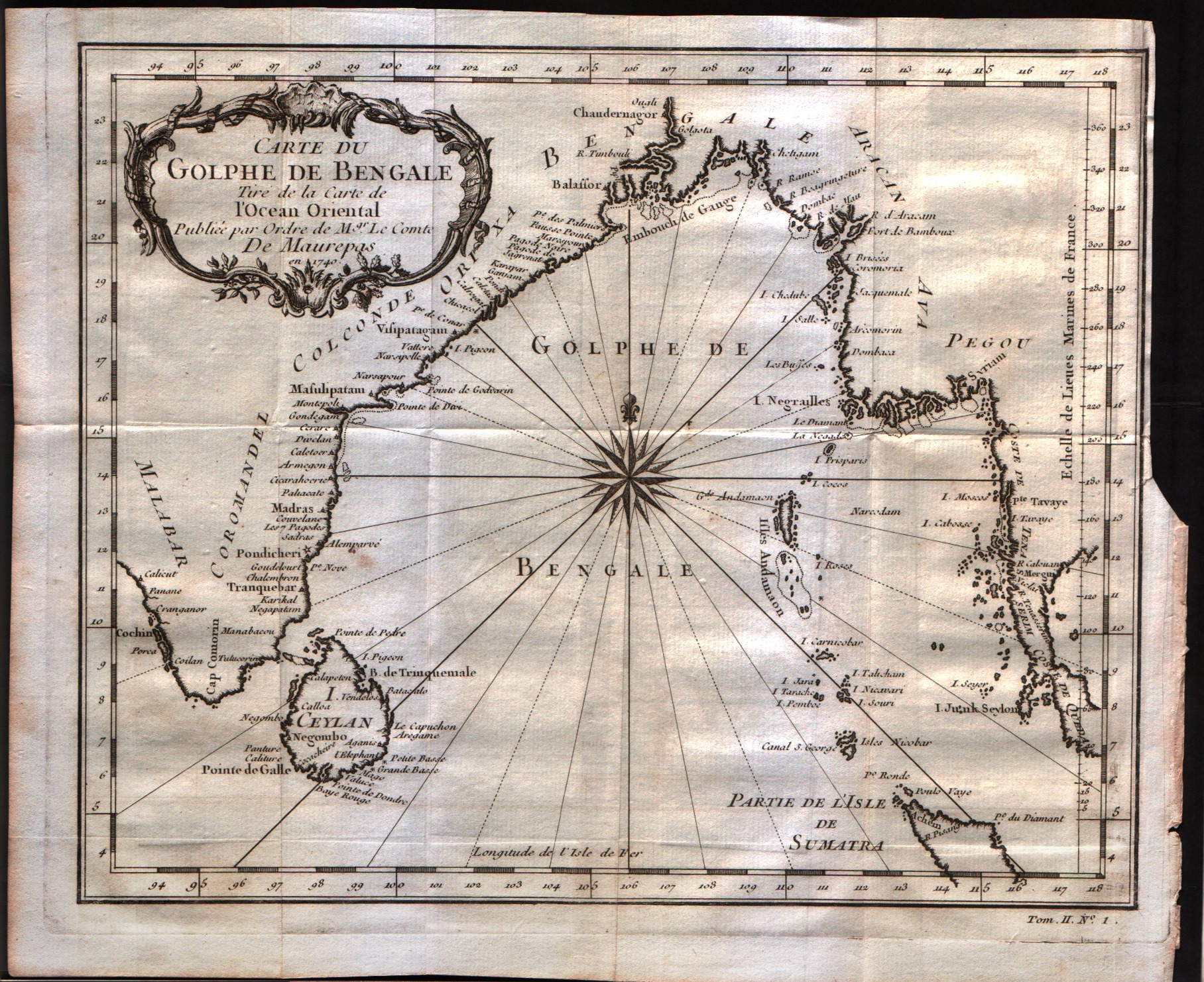
Map title
Carte du Golphe de Bengale
Author
Bellin
Location shown in map
--
Edition date
1757
Edition place
Paris
Editor
--
Atlas
Historie General des Voyages -- Prevost
Price
150 Euro
State
[mint/excellent/VERY GOOD/good/fair/mediocre/poor]
Color
Black/white
Verso
Blank
Size
Plate: cm (26.7 x 22.9) inches (10.51 x 9.02) Paper: cm (29.8 x 24.8) inches (11.73 x 9.76)
Technique
Copper engraving
Note
No particular notes for this maps
Reference
--
Wiki
Here for more info
In stock
Available
Info
info@thetreasuremaps.com
Code
#0242
×
![]()
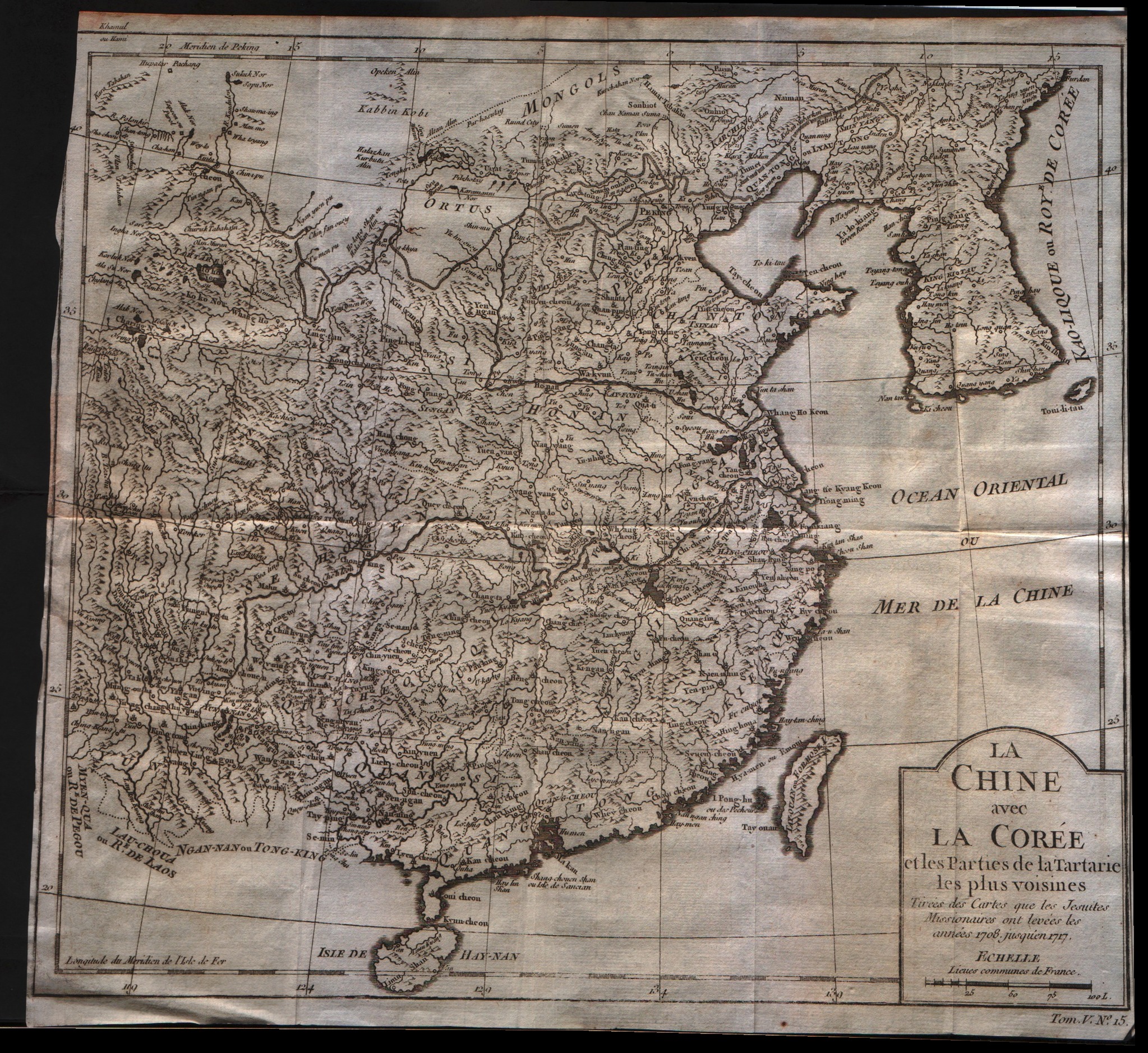
Map title
La Chine avec la Coree et les parties de la Tartarie les plus voisines
Author
Bellin
Location shown in map
China
Edition date
1757
Edition place
Paris
Editor
--
Atlas
Historie General des Voyages -- Prevost
Price
250 Euro
State
[mint/excellent/VERY GOOD/good/fair/mediocre/poor]
Color
Black/white
Verso
Blank
Size
Plate: cm (31.8 x 27.9) inches (12.52 x 10.98) Paper: cm (31.8 x 29.8) inches (12.52 x 11.73)
Technique
Copper engraving
Note
No particular notes for this maps
Reference
--
Wiki
Here for more info
In stock
Available
Info
info@thetreasuremaps.com
Code
#0243
×
![]()
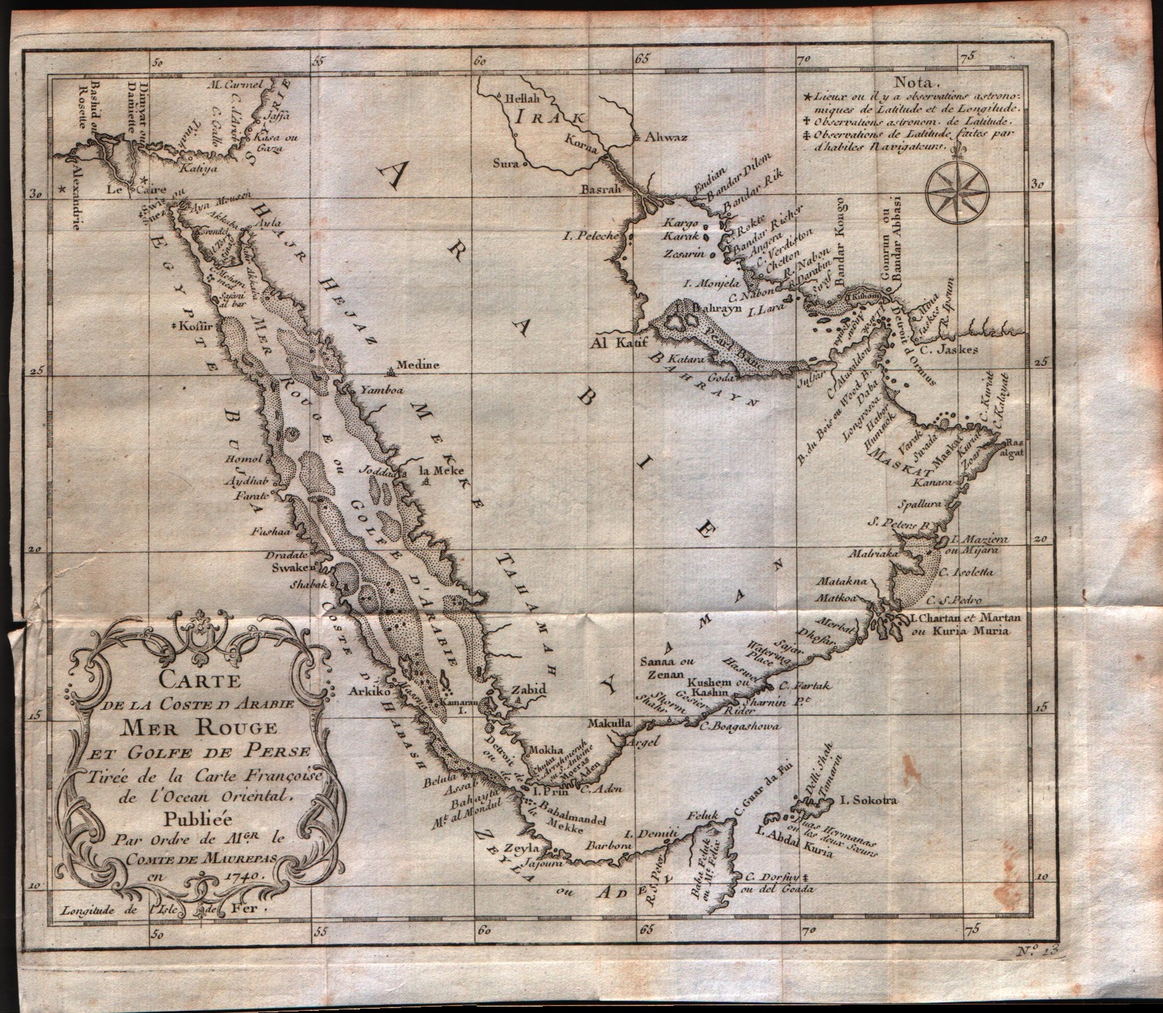
Map title
Carte de la coste d'Arabie Mer Rouge et Golfe de Perse
Author
Bellin
Location shown in map
Arabia
Edition date
1757
Edition place
Paris
Editor
--
Atlas
Historie General des Voyages -- Prevost
Price
300 Euro
State
[mint/excellent/VERY GOOD/good/fair/mediocre/poor]
Color
Black/white
Verso
Blank
Size
Plate: cm (25.4 x 21.6) inches (10 x 8.5) Paper: cm (27.9 x 24.1) inches (10.98 x 9.49)
Technique
Copper engraving
Note
No particular notes for this maps
Reference
--
Wiki
Here for more info
In stock
Available
Info
info@thetreasuremaps.com
Code
#0244
×
![]()
Map title
Carte de l'entree de la riviere de Canton
Author
Bellin
Location shown in map
--
Edition date
1757
Edition place
Paris
Editor
--
Atlas
Historie General des Voyages -- Prevost
Price
Please ask: info@thetreasuremaps.com
State
[mint/excellent/VERY GOOD/good/fair/mediocre/poor]
Color
Black/white
Verso
Blank
Size
Plate: cm (20.3 x 25.4) inches (7.99 x 10) Paper: cm (21.6 x 26.7) inches (8.5 x 10.51)
Technique
Copper engraving
Note
No particular notes for this maps
Reference
--
Wiki
Here for more info
In stock
Sold
Info
info@thetreasuremaps.com
Code
#0245
×
![]()
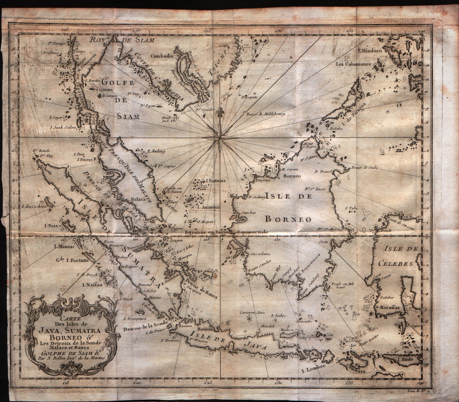
Map title
Carte Des Isles De Java, Sumatra Borneo
Author
Bellin
Location shown in map
Java Sumatra
Edition date
1757
Edition place
Paris
Editor
--
Atlas
Historie General des Voyages -- Prevost
Price
200 Euro
State
[mint/excellent/VERY GOOD/good/fair/mediocre/poor]
Color
Black/white
Verso
Blank
Size
Plate: cm (29.2 x 24.1) inches (11.5 x 9.49) Paper: cm (30.5 x 26.7) inches (12.01 x 10.51)
Technique
Copper engraving
Note
No particular notes for this maps
Reference
--
Wiki
Here for more info
In stock
Available
Info
info@thetreasuremaps.com
Code
#0247
×
![]()
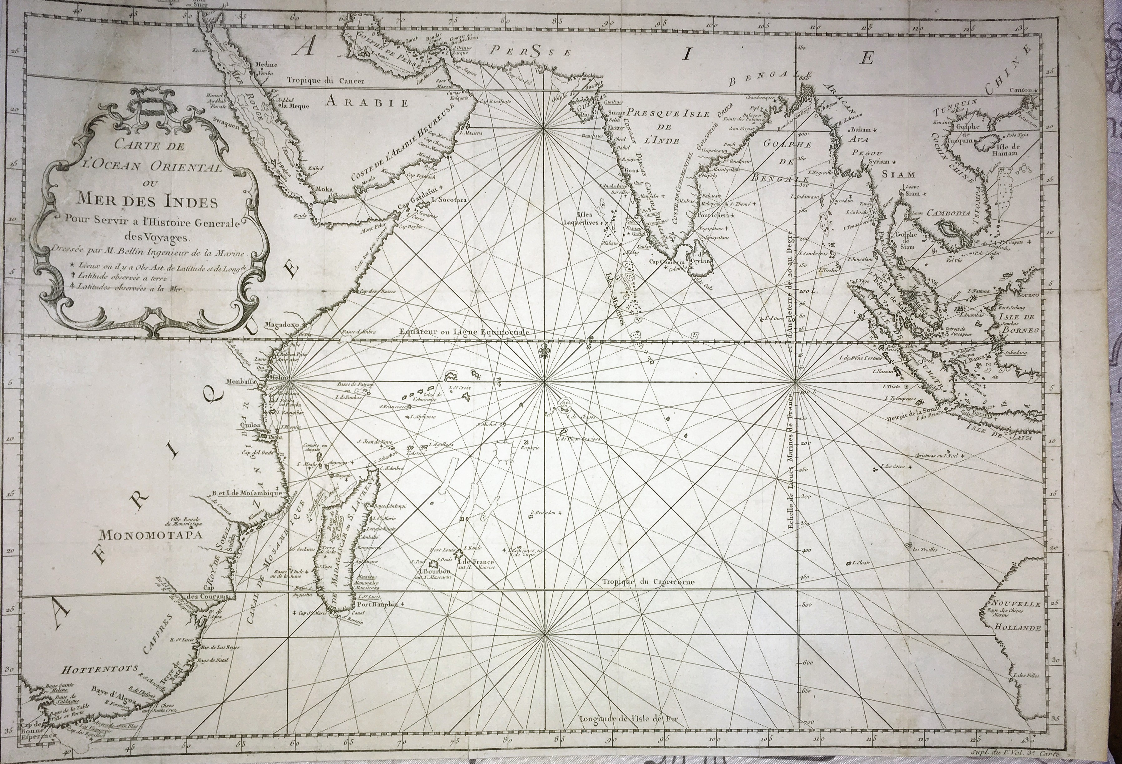
Map title
Carte de l'ocean Oriental ou mer des Indes
Author
Bellin
Location shown in map
--
Edition date
1757
Edition place
Paris
Editor
--
Atlas
Historie General des Voyages -- Prevost
Price
250 Euro
State
[mint/excellent/very good/good/FAIR/mediocre/poor] The map has been repaired. The upper left corner was cut off.
Color
Black/white
Verso
Blank
Size
Plate: cm (48.3 x 34.3) inches (19.02 x 13.5) Paper: cm (49.5 x 35.6) inches (19.49 x 14.02)
Technique
Copper engraving
Note
Large maritime map of the Indian Ocean. Coastal data is shown on the land masses of Africa, Arabian Peninsula, India, Indonesia and part of Australia.
Reference
--
Wiki
Here for more info
In stock
Available
Info
info@thetreasuremaps.com
Code
#0248
×
![]()
Map title
Carte De L'Empire Du Japon
Author
Bellin
Location shown in map
Japan
Edition date
1757
Edition place
Paris
Editor
--
Atlas
Historie General des Voyages -- Prevost
Price
Please ask: info@thetreasuremaps.com
State
[mint/excellent/VERY GOOD/good/fair/mediocre/poor]
Color
Black/white
Verso
Blank
Size
Plate: cm (31.1 x 21.6) inches (12.24 x 8.5) Paper: cm (31.1 x 22.9) inches (12.24 x 9.02)
Technique
Copper engraving
Note
No particular notes for this maps
Reference
--
Wiki
Here for more info
In stock
Sold
Info
info@thetreasuremaps.com
Code
#0249
×
![]()
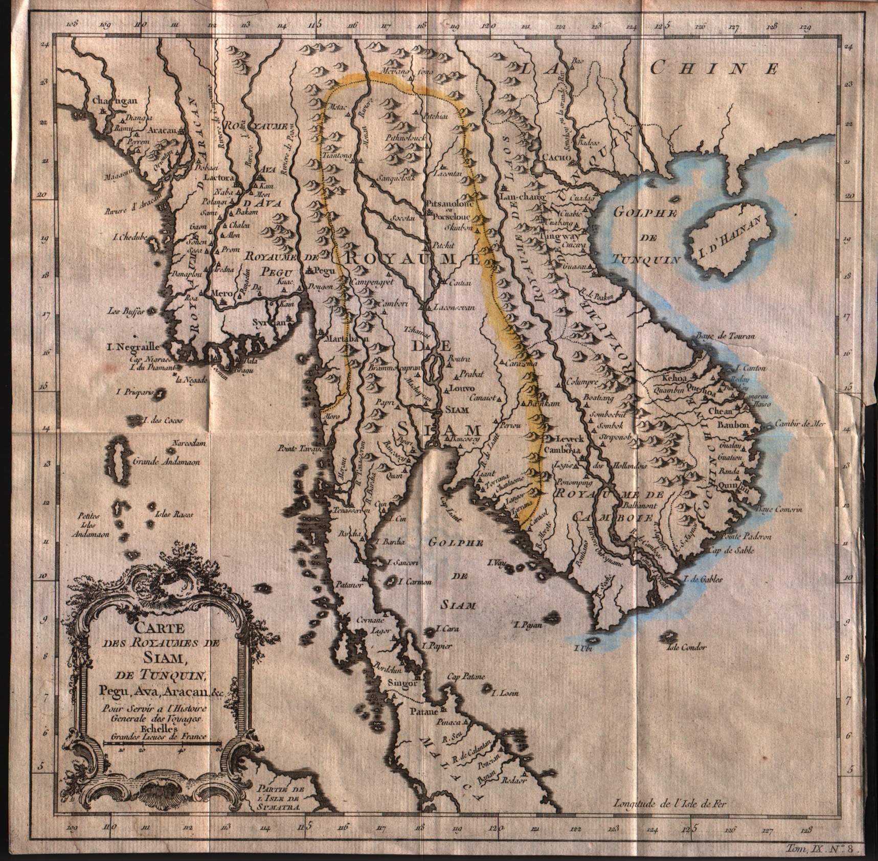
Map title
Carte des royaumes de Siam de Tunquin, Pegu, Ava, Aracan
Author
Bellin
Location shown in map
--
Edition date
1757
Edition place
Paris
Editor
--
Atlas
Historie General des Voyages -- Prevost
Price
Please ask: info@thetreasuremaps.com
State
[mint/excellent/very good/GOOD/fair/mediocre/poor]
Color
Black/white
Verso
Blank
Size
Plate: cm (27.9 x 27.9) inches (10.98 x 10.98) Paper: cm (28.6 x 28.6) inches (11.26 x 11.26)
Technique
Copper engraving
Note
No particular notes for this maps
Reference
--
Wiki
Here for more info
In stock
Available
Info
info@thetreasuremaps.com
Code
#0250
×
![]()
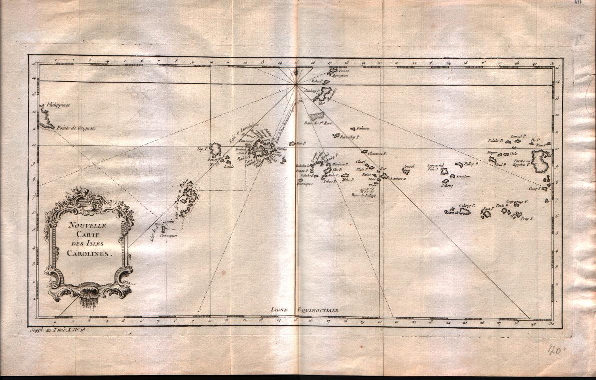
Map title
Nouvelle carte des isles Carolines
Author
Bellin
Location shown in map
Caroline islands
Edition date
1757
Edition place
Paris
Editor
--
Atlas
Historie General des Voyages -- Prevost
Price
125 Euro
State
[mint/EXCELLENT/very good/good/fair/mediocre/poor]
Color
Black/white
Verso
Blank
Size
Plate: cm (38.1 x 20.3) inches (15 x 7.99) Paper: cm (43.2 x 27.9) inches (17.01 x 10.98)
Technique
Copper engraving
Note
No particular notes for this maps
Reference
--
Wiki
Here for more info
In stock
Available
Info
info@thetreasuremaps.com
Code
#0251
×
![]()
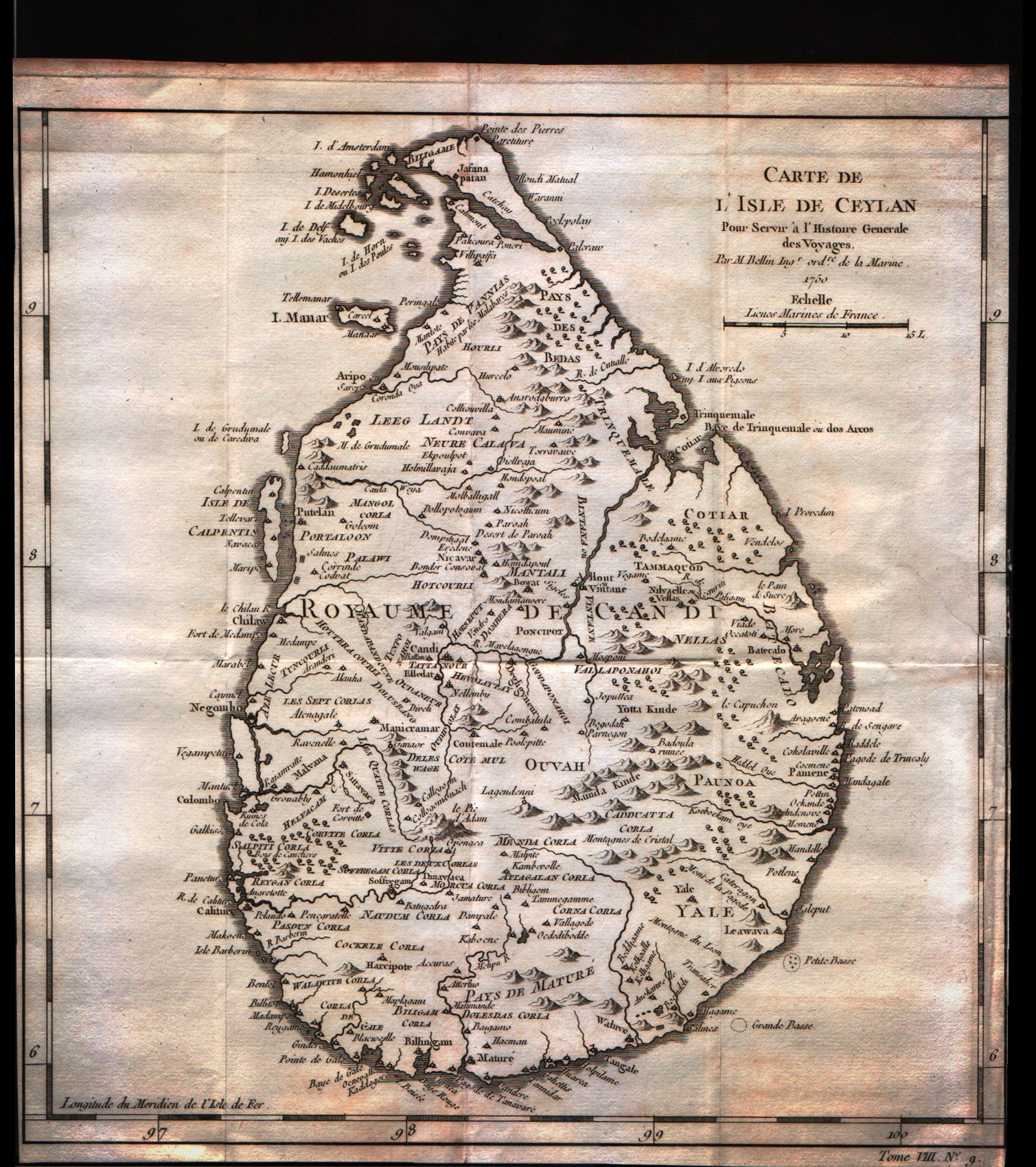
Map title
Carte de l'isle de Ceylan
Author
Bellin
Location shown in map
Ceylan islands
Edition date
1757
Edition place
Paris
Editor
--
Atlas
Historie General des Voyages -- Prevost
Price
125 Euro
State
[mint/excellent/very good/GOOD/fair/mediocre/poor]
Color
Black/white
Verso
Blank
Size
Plate: cm (24.1 x 25.4) inches (9.49 x 10) Paper: cm (24.1 x 25.4) inches (9.49 x 10)
Technique
Copper engraving
Note
No particular notes for this maps
Reference
--
Wiki
Here for more info
In stock
Available
Info
info@thetreasuremaps.com
Code
#0252
×
![]()
Map title
Carte de l'isle de Ceylan
Author
Bellin
Location shown in map
Ceylan islands
Edition date
1757
Edition place
Paris
Editor
--
Atlas
Historie General des Voyages -- Prevost
Price
125 Euro
State
[mint/excellent/very good/GOOD/fair/mediocre/poor]
Color
Black/white
Verso
Blank
Size
Plate: cm (24.1 x 25.4) inches (9.49 x 10) Paper: cm (24.1 x 26.7) inches (9.49 x 10.51)
Technique
Copper engraving
Note
No particular notes for this maps
Reference
--
Wiki
Here for more info
In stock
Sold
Info
info@thetreasuremaps.com
Code
#0253
×
![]()
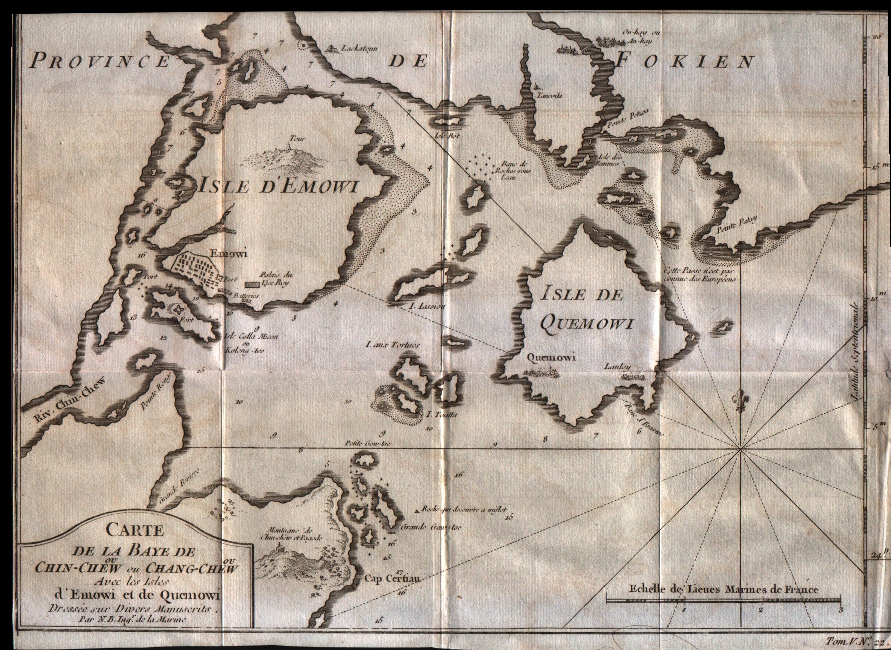
Map title
Carte de la Baye de Chin-Chew ou Chang-Chew avec les isles d'Emowi et de Quemowi
Author
Bellin
Location shown in map
Fukien centred on the islands of Amoy & Quemoy.
Edition date
1757
Edition place
Paris
Editor
--
Atlas
Historie General des Voyages -- Prevost
Price
100 Euro
State
[mint/EXCELLENT/very good/good/fair/mediocre/poor]
Color
Black/white
Verso
Blank
Size
Plate: cm (30.5 x 20.3) inches (12.01 x 7.99) Paper: cm (38.1 x 27.9) inches (15 x 10.98)
Technique
Copper engraving
Note
No particular notes for this maps
Reference
--
Wiki
Here for more info
In stock
Available
Info
info@thetreasuremaps.com
Code
#0254
×
![]()
Map title
Carte des costes de Cochin Chine Tunquin et partie de celles de la Chine
Author
Bellin
Location shown in map
Cochin Coast and the coast of Tunquin.
Edition date
1757
Edition place
Paris
Editor
--
Atlas
Historie General des Voyages -- Prevost
Price
Please ask: info@thetreasuremaps.com
State
[mint/EXCELLENT/very good/good/fair/mediocre/poor]
Color
Black/white
Verso
Blank
Size
Plate: cm (14 x 21.6) inches (5.51 x 8.5) Paper: cm (20.3 x 27.9) inches (7.99 x 10.98)
Technique
Copper engraving
Note
No particular notes for this maps
Reference
--
Wiki
Here for more info
In stock
Sold
Info
info@thetreasuremaps.com
Code
#0255
×
![]()
Map title
Carte du cours de la riviere de Tunquin depuis Cacho jusqu'a a la mer, levee par un navigateur Anglois
Author
Bellin
Location shown in map
The Tonkin River and the Tonkin Gulf.
Edition date
1757
Edition place
Paris
Editor
--
Atlas
Historie General des Voyages -- Prevost
Price
Please ask: info@thetreasuremaps.com
State
[mint/EXCELLENT/very good/good/fair/mediocre/poor]
Color
Black/white
Verso
Blank
Size
Plate: cm (14 x 20.3) inches (5.51 x 7.99) Paper: cm (20.3 x 27.9) inches (7.99 x 10.98)
Technique
Copper engraving
Note
No particular notes for this maps
Reference
--
Wiki
Here for more info
In stock
Sold
Info
info@thetreasuremaps.com
Code
#0256
×
![]()
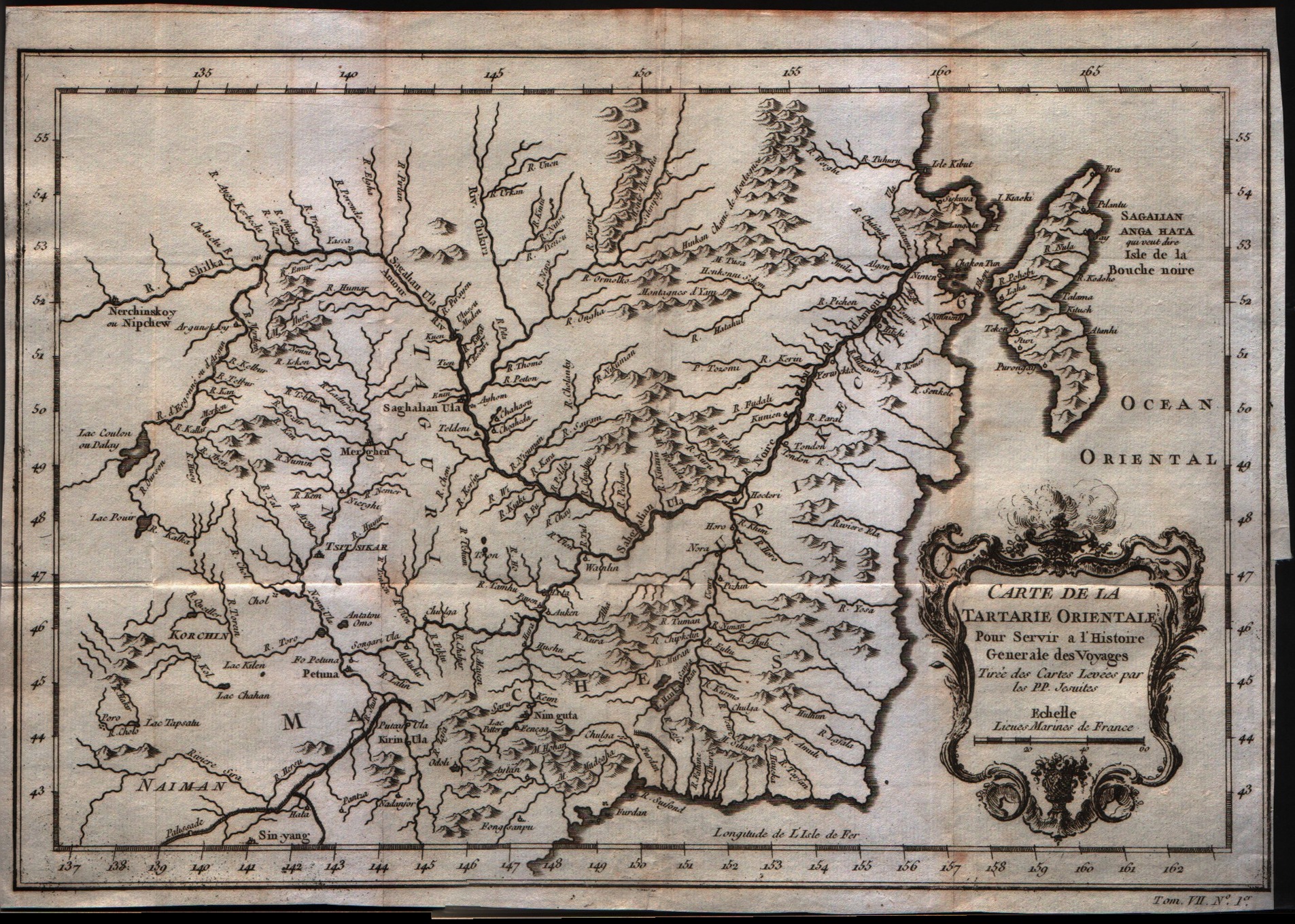
Map title
Carte de la Tartarie orientale
Author
Bellin
Location shown in map
--
Edition date
1757
Edition place
Paris
Editor
--
Atlas
Historie General des Voyages -- Prevost
Price
Please ask: info@thetreasuremaps.com
State
[mint/EXCELLENT/very good/good/fair/mediocre/poor]
Color
Black/white
Verso
Blank
Size
Plate: cm (30.5 x 20.3) inches (12.01 x 7.99) Paper: cm (30.5 x 22.9) inches (12.01 x 9.02)
Technique
Copper engraving
Note
No particular notes for this maps
Reference
--
Wiki
Here for more info
In stock
Available
Info
info@thetreasuremaps.com
Code
#0257
×
![]()
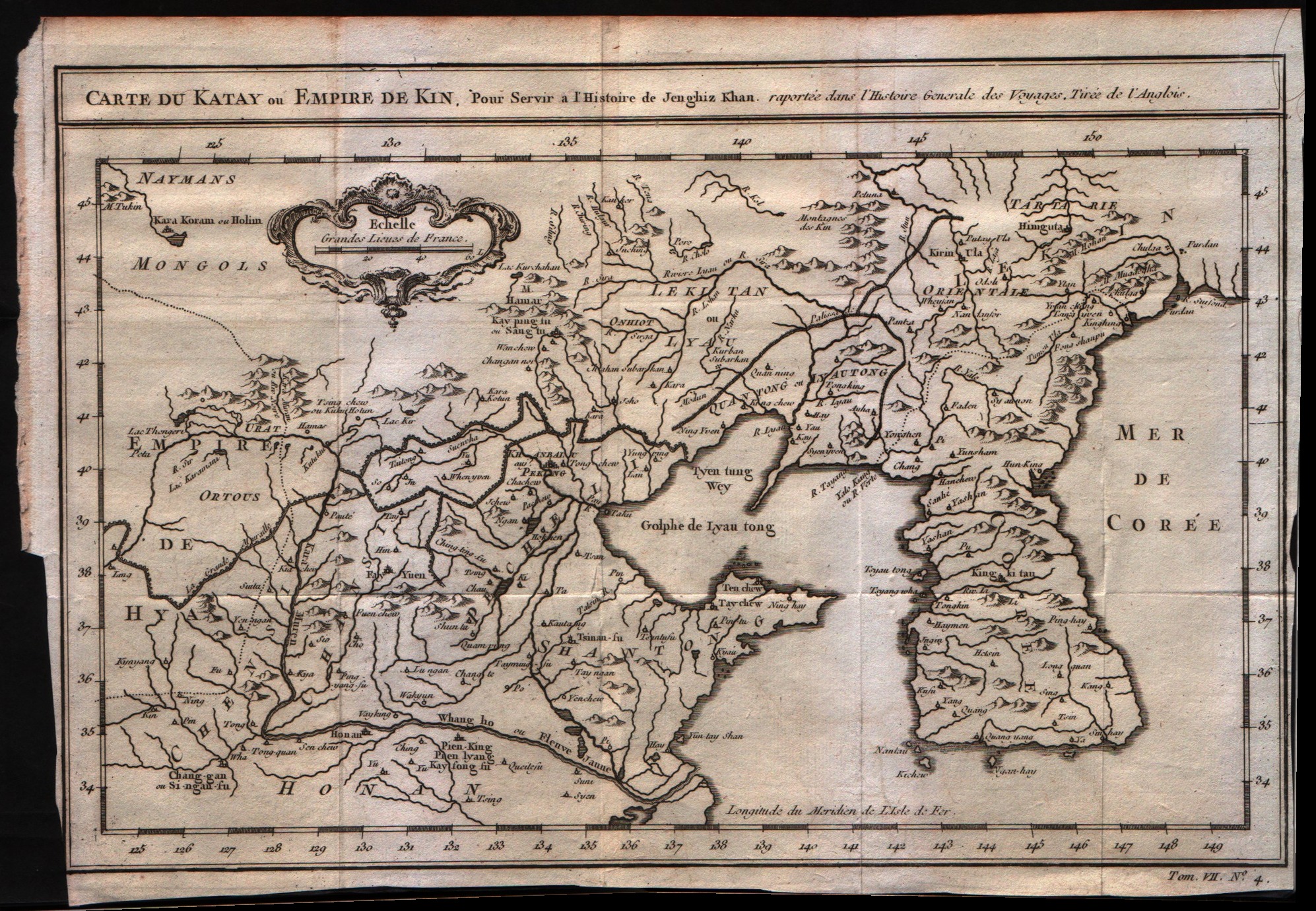
Map title
Carte du Katay ou Empere de Kin
Author
Bellin
Location shown in map
--
Edition date
1757
Edition place
Paris
Editor
--
Atlas
Historie General des Voyages -- Prevost
Price
250 Euro
State
[mint/EXCELLENT/very good/good/fair/mediocre/poor]
Color
Black/white
Verso
Blank
Size
Plate: cm (30.5 x 21.6) inches (12.01 x 8.5) Paper: cm (33 x 22.9) inches (12.99 x 9.02)
Technique
Copper engraving
Note
No particular notes for this maps
Reference
--
Wiki
Here for more info
In stock
Available
Info
info@thetreasuremaps.com
Code
#0258
×
![]()
Map title
Carte de l'isle de Bourbon
Author
Bellin
Location shown in map
Reunion
Edition date
1757
Edition place
Paris
Editor
--
Atlas
Historie General des Voyages -- Prevost
Price
Please ask: info@thetreasuremaps.com
State
[mint/EXCELLENT/very good/good/fair/mediocre/poor]
Color
Black/white
Verso
Blank
Size
Plate: cm (24.1 x 20.3) inches (9.49 x 7.99) Paper: cm (24.1 x 21.6) inches (9.49 x 8.5)
Technique
Copper engraving
Note
No particular notes for this maps
Reference
--
Wiki
Here for more info
In stock
Available
Info
info@thetreasuremaps.com
Code
#0300
×
![]()
Map title
Coste occidentale d'Afrique
Author
Bellin
Location shown in map
--
Edition date
1757
Edition place
Paris
Editor
--
Atlas
Historie General des Voyages -- Prevost
Price
Please ask: info@thetreasuremaps.com
State
[mint/EXCELLENT/very good/good/fair/mediocre/poor]
Color
Black/white
Verso
Blank
Size
Plate: cm (25.4 x 24.1) inches (10 x 9.49) Paper: cm (27.9 x 25.4) inches (10.98 x 10)
Technique
Copper engraving
Note
No particular notes for this maps
Reference
--
Wiki
Here for more info
In stock
Available
Info
info@thetreasuremaps.com
Code
#0301
×
![]()
Map title
Partie de la coste de Guinee
Author
Bellin
Location shown in map
--
Edition date
1757
Edition place
Paris
Editor
--
Atlas
Historie General des Voyages -- Prevost
Price
Please ask: info@thetreasuremaps.com
State
[mint/EXCELLENT/very good/good/fair/mediocre/poor]
Color
Black/white
Verso
Blank
Size
Plate: cm (33 x 22.9) inches (12.99 x 9.02) Paper: cm (34.3 x 25.4) inches (13.5 x 10)
Technique
Copper engraving
Note
No particular notes for this maps
Reference
--
Wiki
Here for more info
In stock
Available
Info
info@thetreasuremaps.com
Code
#0302
×
![]()
Map title
Suite de la coste de Guinee depuis le Cap Apollonia jusqua la riviere de Volta ou La Cote d'Or
Author
Bellin
Location shown in map
--
Edition date
1757
Edition place
Paris
Editor
--
Atlas
Historie General des Voyages -- Prevost
Price
Please ask: info@thetreasuremaps.com
State
[mint/EXCELLENT/very good/good/fair/mediocre/poor]
Color
Black/white
Verso
Blank
Size
Plate: cm (43.2 x 22.9) inches (17.01 x 9.02) Paper: cm (45.7 x 25.4) inches (17.99 x 10)
Technique
Copper engraving
Note
No particular notes for this maps
Reference
--
Wiki
Here for more info
In stock
Available
Info
info@thetreasuremaps.com
Code
#0303
×
![]()
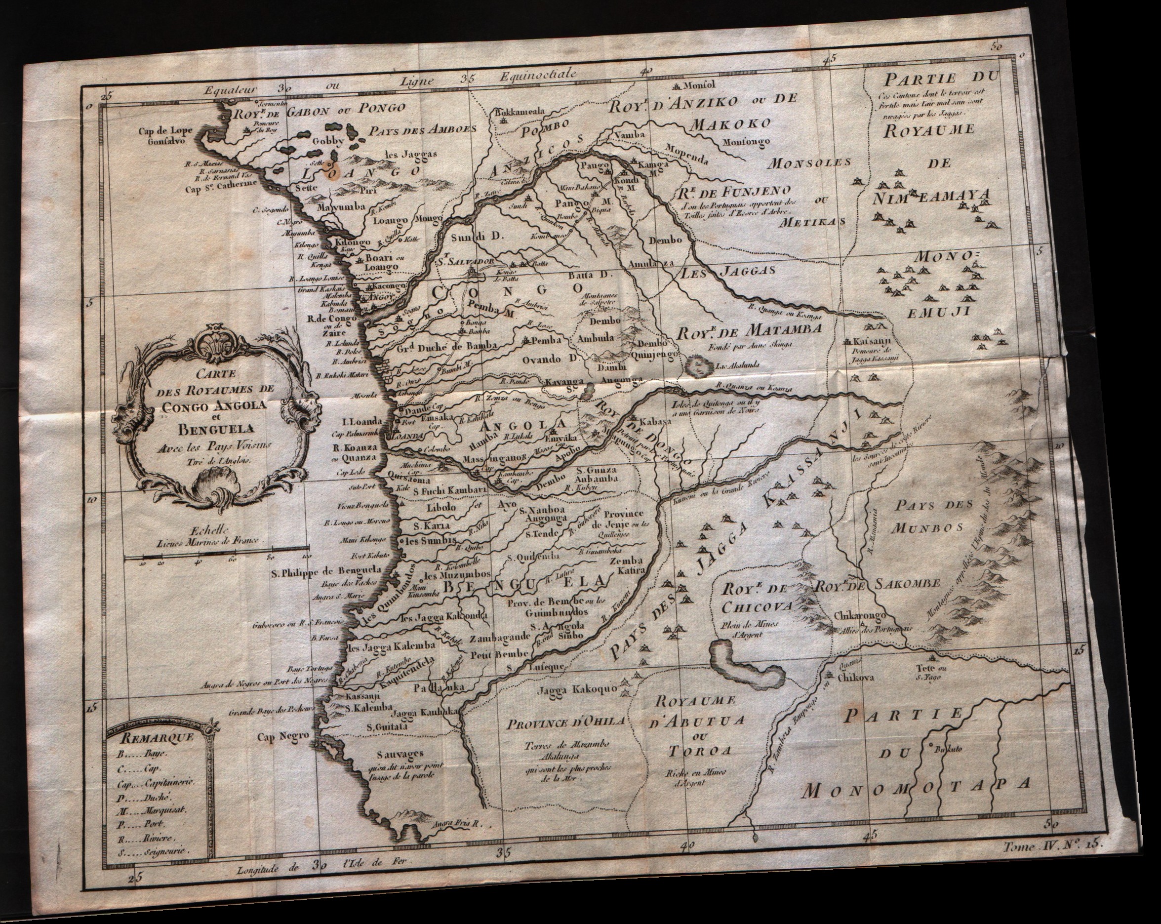
Map title
Carte Des Royaumes De Congo Angola Et Benguela
Author
Bellin
Location shown in map
--
Edition date
1757
Edition place
Paris
Editor
--
Atlas
Historie General des Voyages -- Prevost
Price
Please ask: info@thetreasuremaps.com
State
[mint/excellent/very good/GOOD/fair/mediocre/poor]
Color
Black/white
Verso
Blank
Size
Plate: cm (30.5 x 24.1) inches (12.01 x 9.49) Paper: cm (33 x 25.4) inches (12.99 x 10)
Technique
Copper engraving
Note
No particular notes for this maps
Reference
--
Wiki
Here for more info
In stock
Available
Info
info@thetreasuremaps.com
Code
#0304
×
![]()
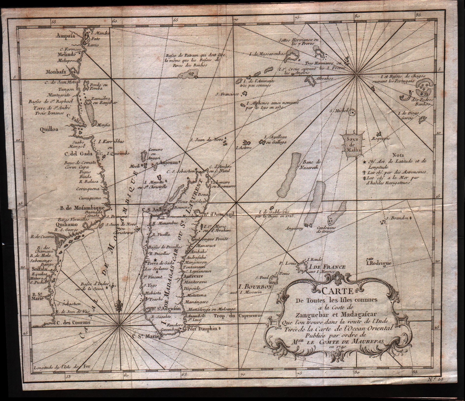
Map title
Carte de toutes les isles connues a la coste de Zanguebar at Madagascar
Author
Bellin
Location shown in map
--
Edition date
1757
Edition place
Paris
Editor
--
Atlas
Historie General des Voyages -- Prevost
Price
150 Euro
State
[mint/excellent/very good/GOOD/fair/mediocre/poor]
Color
Black/white
Verso
Blank
Size
Plate: cm (27.9 x 24.1) inches (10.98 x 9.49) Paper: cm (29.2 x 25.4) inches (11.5 x 10)
Technique
Copper engraving
Note
No particular notes for this maps
Reference
--
Wiki
Here for more info
In stock
Available
Info
info@thetreasuremaps.com
Code
#0305
×
![]()
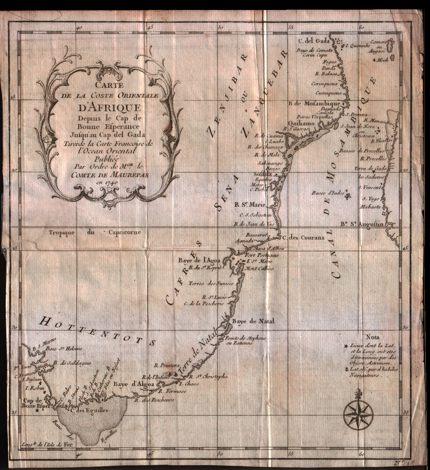
Map title
Carte de la coste Orientale d'Afrique depuis le Cap de Bonne Esperance Jusqu'au Cap del Gada
Author
Bellin
Location shown in map
--
Edition date
1757
Edition place
Paris
Editor
--
Atlas
Historie General des Voyages -- Prevost
Price
75 Euro
State
[mint/excellent/very good/GOOD/fair/mediocre/poor]
Color
Black/white
Verso
Blank
Size
Plate: cm (21.6 x 24.1) inches (8.5 x 9.49) Paper: cm (22.9 x 25.4) inches (9.02 x 10)
Technique
Copper engraving
Note
No particular notes for this maps
Reference
--
Wiki
Here for more info
In stock
Available
Info
info@thetreasuremaps.com
Code
#0306
×
![]()
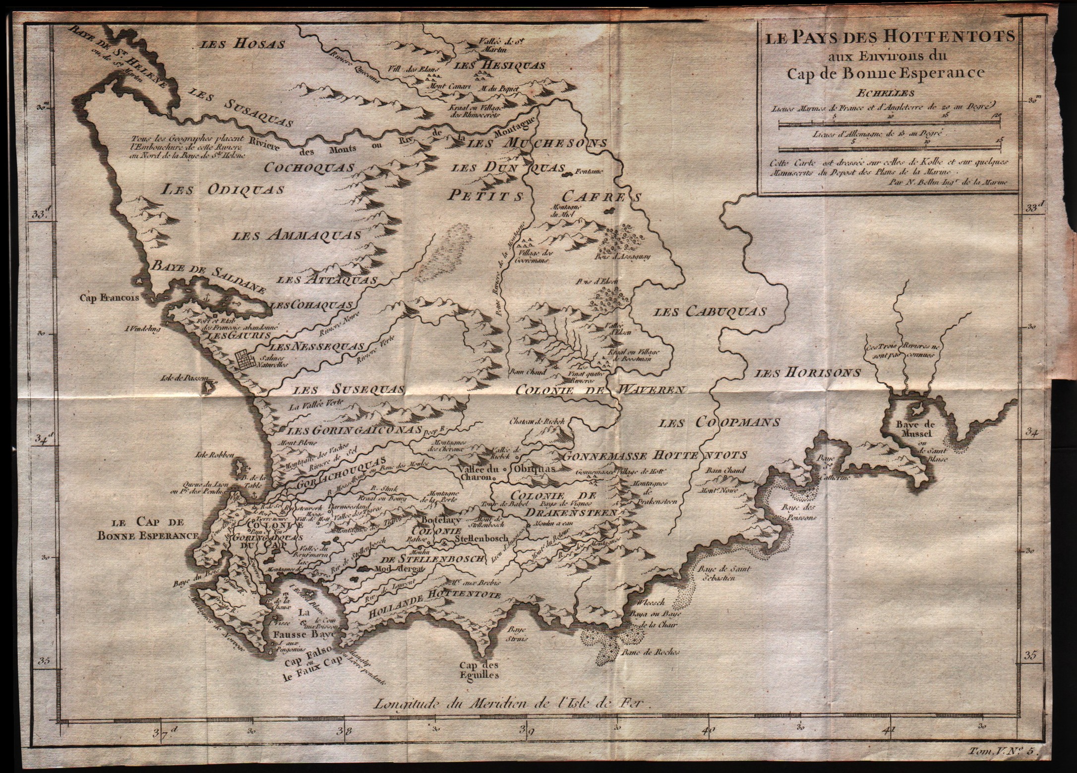
Map title
Le pays des Hottentots aux environs du Cap de Bonne Esperance
Author
Bellin
Location shown in map
--
Edition date
1757
Edition place
Paris
Editor
--
Atlas
Historie General des Voyages -- Prevost
Price
Please ask: info@thetreasuremaps.com
State
[mint/excellent/VERY GOOD/good/fair/mediocre/poor]
Color
Black/white
Verso
Blank
Size
Plate: cm (33 x 26.7) inches (12.99 x 10.51) Paper: cm (35.6 x 26.7) inches (14.02 x 10.51)
Technique
Copper engraving
Note
No particular notes for this maps
Reference
--
Wiki
Here for more info
In stock
Available
Info
info@thetreasuremaps.com
Code
#0307
×
![]()
Map title
Isle de Madagascar
Author
Bellin
Location shown in map
Madagascar island
Edition date
1757
Edition place
Paris
Editor
--
Atlas
Historie General des Voyages -- Prevost
Price
125 Euro
State
[mint/excellent/VERY GOOD/good/fair/mediocre/poor]
Color
Black/white
Verso
Blank
Size
Plate: cm (22.9 x 29.2) inches (9.02 x 11.5) Paper: cm (22.9 x 30.5) inches (9.02 x 12.01)
Technique
Copper engraving
Note
No particular notes for this maps
Reference
--
Wiki
Here for more info
In stock
Available
Info
info@thetreasuremaps.com
Code
#0308
×
![]()
Map title
Coste occidentale d'Afrique depuis le detroit de Gibraltar
Author
Bellin
Location shown in map
West Africa
Edition date
1757
Edition place
Paris
Editor
--
Atlas
Historie General des Voyages -- Prevost
Price
Please ask: info@thetreasuremaps.com
State
[mint/excellent/VERY GOOD/good/fair/mediocre/poor]
Color
Black/white
Verso
Blank
Size
Plate: cm (20.3 x 24.1) inches (7.99 x 9.49) Paper: cm (22.9 x 25.4) inches (9.02 x 10)
Technique
Copper engraving
Note
No particular notes for this maps
Reference
--
Wiki
Here for more info
In stock
Available
Info
info@thetreasuremaps.com
Code
#0309
×
![]()
Map title
Carte des isles de Comore
Author
Bellin
Location shown in map
Comore islands
Edition date
1757
Edition place
Paris
Editor
--
Atlas
Historie General des Voyages -- Prevost
Price
Please ask: info@thetreasuremaps.com
State
[mint/excellent/VERY GOOD/good/fair/mediocre/poor]
Color
Black/white
Verso
Blank
Size
Plate: cm (25.4 x 22.9) inches (10 x 9.02) Paper: cm (25.4 x 22.9) inches (10 x 9.02)
Technique
Copper engraving
Note
No particular notes for this maps
Reference
--
Wiki
Here for more info
In stock
Available
Info
info@thetreasuremaps.com
Code
#0310
×
![]()
Map title
Suite du cours de la diviere de Senegal
Author
Bellin
Location shown in map
Comore islands
Edition date
1757
Edition place
Paris
Editor
--
Atlas
Historie General des Voyages -- Prevost
Price
Please ask: info@thetreasuremaps.com
State
[mint/excellent/VERY GOOD/good/fair/mediocre/poor]
Color
Black/white
Verso
Blank
Size
Plate: cm (27.9 x 22.9) inches (10.98 x 9.02) Paper: cm (31.8 x 24.1) inches (12.52 x 9.49)
Technique
Copper engraving
Note
No particular notes for this maps
Reference
--
Wiki
Here for more info
In stock
Available
Info
info@thetreasuremaps.com
Code
#0311
×
![]()
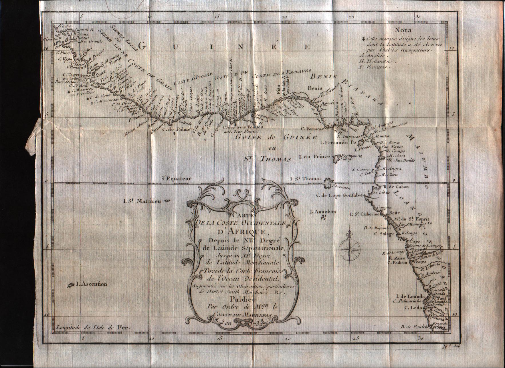
Map title
Carte de la coste Occidentale d'Afrique Depuis le XII degree de latitude Septentrionale
Author
Bellin
Location shown in map
West Afrique
Edition date
1757
Edition place
Paris
Editor
--
Atlas
Historie General des Voyages -- Prevost
Price
100 Euro
State
[mint/excellent/VERY GOOD/good/fair/mediocre/poor]
Color
Black/white
Verso
Blank
Size
Plate: cm (25.4 x 20.3) inches (10 x 7.99) Paper: cm (27.9 x 22.9) inches (10.98 x 9.02)
Technique
Copper engraving
Note
No particular notes for this maps
Reference
--
Wiki
Here for more info
In stock
Available
Info
info@thetreasuremaps.com
Code
#0312
×
![]()
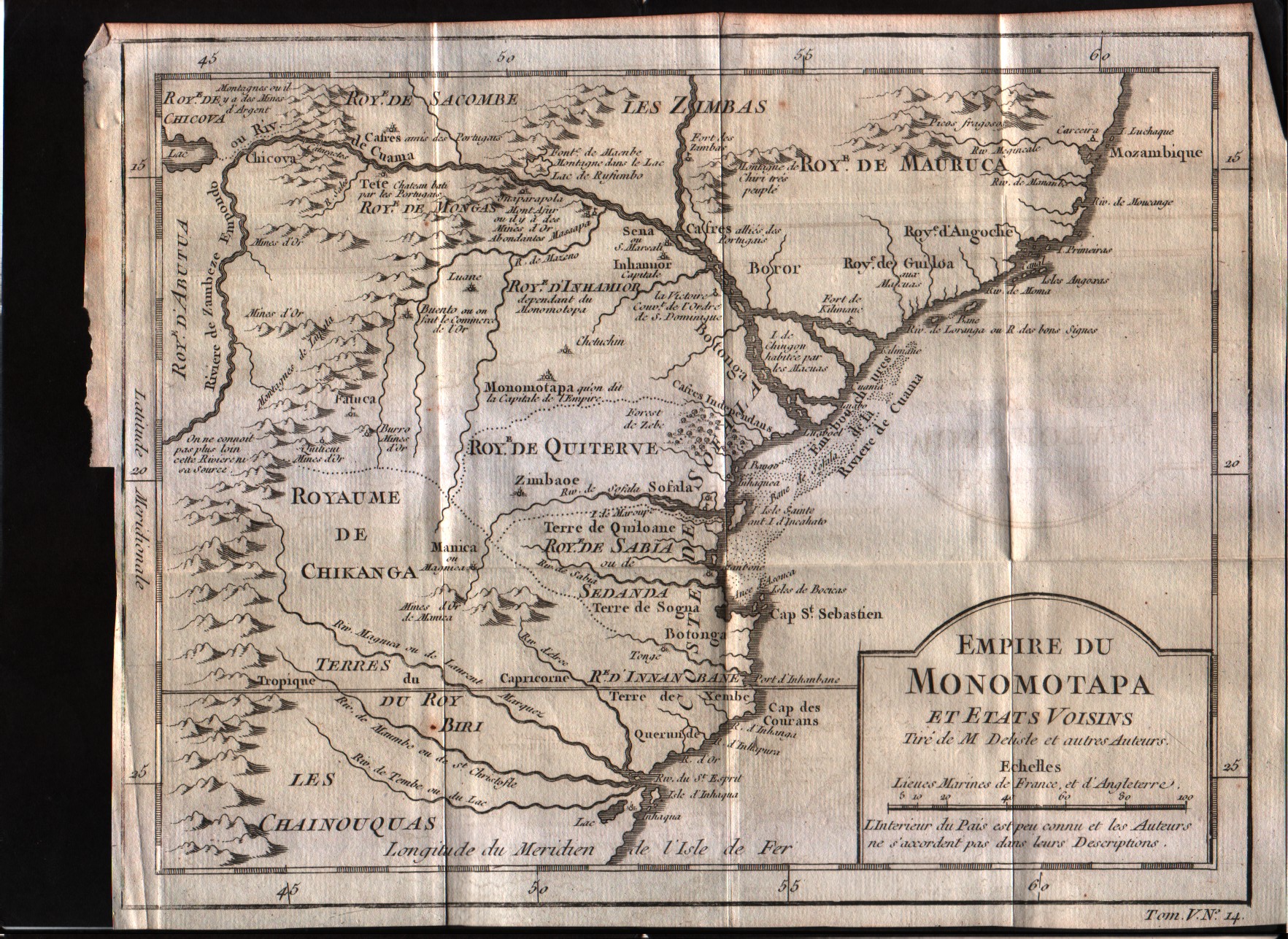
Map title
Empire du Monomotapa et etas voisins
Author
Bellin
Location shown in map
--
Edition date
1757
Edition place
Paris
Editor
--
Atlas
Historie General des Voyages -- Prevost
Price
Please ask: info@thetreasuremaps.com
State
[mint/excellent/VERY GOOD/good/fair/mediocre/poor]
Color
Black/white
Verso
Blank
Size
Plate: cm (25.4 x 20.3) inches (10 x 7.99) Paper: cm (27.9 x 21.6) inches (10.98 x 8.5)
Technique
Copper engraving
Note
No particular notes for this maps
Reference
--
Wiki
Here for more info
In stock
Available
Info
info@thetreasuremaps.com
Code
#0313
×
![]()
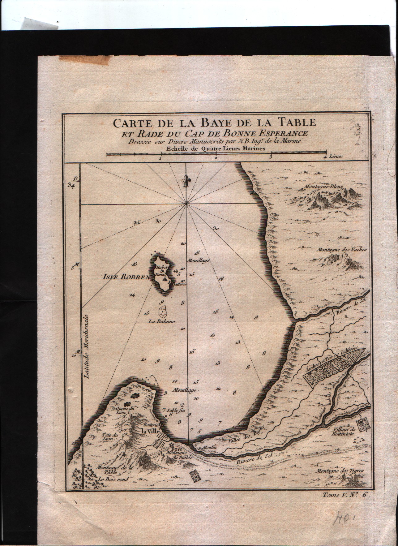
Map title
Carte de la baye de la table et rade du Cap de Bonne Esperance
Author
Bellin
Location shown in map
--
Edition date
1757
Edition place
Paris
Editor
--
Atlas
Historie General des Voyages -- Prevost
Price
Please ask: info@thetreasuremaps.com
State
[mint/excellent/VERY GOOD/good/fair/mediocre/poor]
Color
Black/white
Verso
Blank
Size
Plate: cm (16.5 x 21.6) inches (6.5 x 8.5) Paper: cm (17.8 x 22.9) inches (7.01 x 9.02)
Technique
Copper engraving
Note
No particular notes for this maps
Reference
--
Wiki
Here for more info
In stock
Sold
Info
info@thetreasuremaps.com
Code
#0314
×
![]()
Map title
Plan du Fort et de la Ville du Cap de Bonne Esperance
Author
Bellin
Location shown in map
--
Edition date
1757
Edition place
Paris
Editor
--
Atlas
Historie General des Voyages -- Prevost
Price
Please ask: info@thetreasuremaps.com
State
[mint/excellent/VERY GOOD/good/fair/mediocre/poor]
Color
Black/white
Verso
Blank
Size
Plate: cm (26.7 x 21.6) inches (10.51 x 8.5) Paper: cm (27.9 x 22.9) inches (10.98 x 9.02)
Technique
Copper engraving
Note
No particular notes for this maps
Reference
--
Wiki
Here for more info
In stock
Sold
Info
info@thetreasuremaps.com
Code
#0315
×
![]()
Map title
Plan du Fort et de la Ville du Cap de Bonne Esperance
Author
Bellin
Location shown in map
--
Edition date
1757
Edition place
Paris
Editor
--
Atlas
Historie General des Voyages -- Prevost
Price
Please ask: info@thetreasuremaps.com
State
[mint/excellent/VERY GOOD/good/fair/mediocre/poor]
Color
Black/white
Verso
Blank
Size
Plate: cm (26.7 x 21.6) inches (10.51 x 8.5) Paper: cm (27.9 x 22.9) inches (10.98 x 9.02)
Technique
Copper engraving
Note
No particular notes for this maps
Reference
--
Wiki
Here for more info
In stock
Sold
Info
info@thetreasuremaps.com
Code
#0316
×
![]()
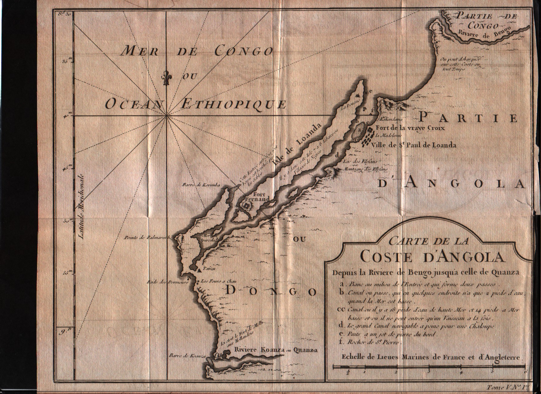
Map title
Carte de la Coste d'Angola
Author
Bellin
Location shown in map
Angola
Edition date
1757
Edition place
Paris
Editor
--
Atlas
Historie General des Voyages -- Prevost
Price
Please ask: info@thetreasuremaps.com
State
[mint/excellent/VERY GOOD/good/fair/mediocre/poor]
Color
Black/white
Verso
Blank
Size
Plate: cm (26.7 x 20.3) inches (10.51 x 7.99) Paper: cm (27.9 x 22.9) inches (10.98 x 9.02)
Technique
Copper engraving
Note
No particular notes for this maps
Reference
--
Wiki
Here for more info
In stock
Available
Info
info@thetreasuremaps.com
Code
#0317
×
![]()
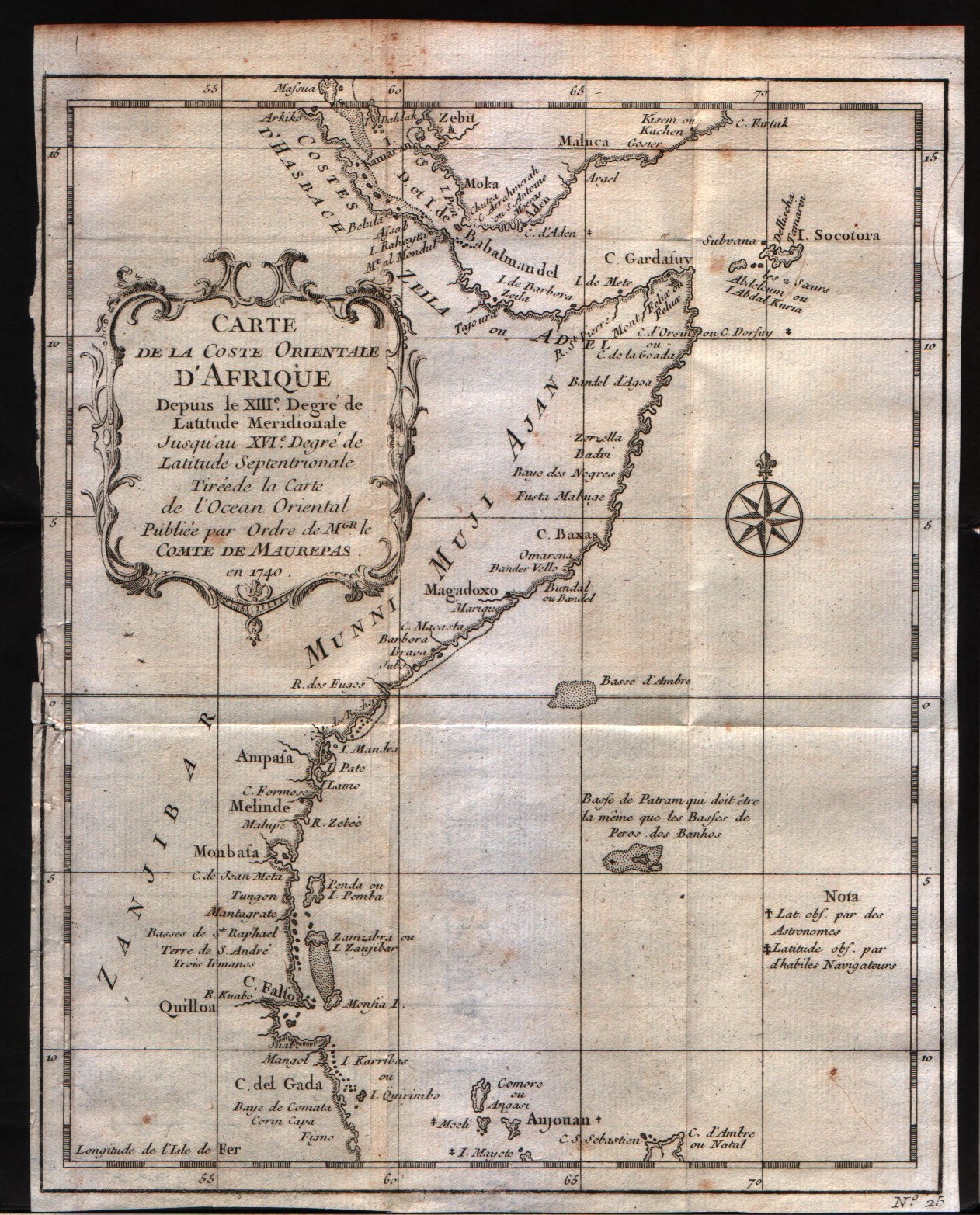
Map title
Carte de la Coste Orientale d'Afrique depuis le XIII degre de latitudine
Author
Bellin
Location shown in map
East Africa
Edition date
1757
Edition place
Paris
Editor
--
Atlas
Historie General des Voyages -- Prevost
Price
100 Euro
State
[mint/excellent/VERY GOOD/good/fair/mediocre/poor]
Color
Black/white
Verso
Blank
Size
Plate: cm (20.3 x 24.1) inches (7.99 x 9.49) Paper: cm (20.3 x 25.4) inches (7.99 x 10)
Technique
Copper engraving
Note
No particular notes for this maps
Reference
--
Wiki
Here for more info
In stock
Available
Info
info@thetreasuremaps.com
Code
#0318
×
![]()
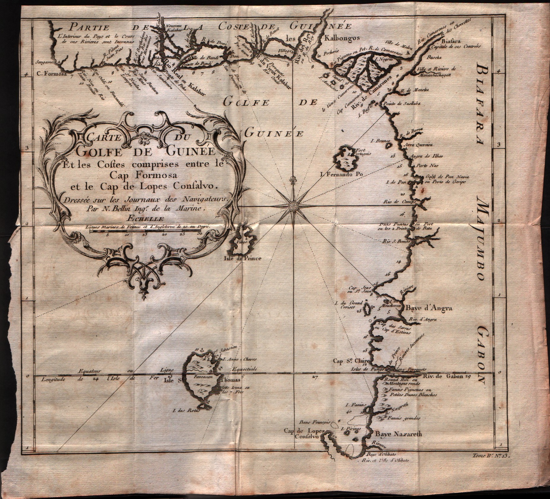
Map title
Carte du Golfe de Guinee et les costes comprises entre le Cap Formosa ...
Author
Bellin
Location shown in map
Gulf of Guinee
Edition date
1757
Edition place
Paris
Editor
--
Atlas
Historie General des Voyages -- Prevost
Price
Please ask: info@thetreasuremaps.com
State
[mint/excellent/VERY GOOD/good/fair/mediocre/poor]
Color
Black/white
Verso
Blank
Size
Plate: cm (27.9 x 25.4) inches (10.98 x 10) Paper: cm (30.5 x 27.9) inches (12.01 x 10.98)
Technique
Copper engraving
Note
No particular notes for this maps
Reference
--
Wiki
Here for more info
In stock
Available
Info
info@thetreasuremaps.com
Code
#0319
×
![]()
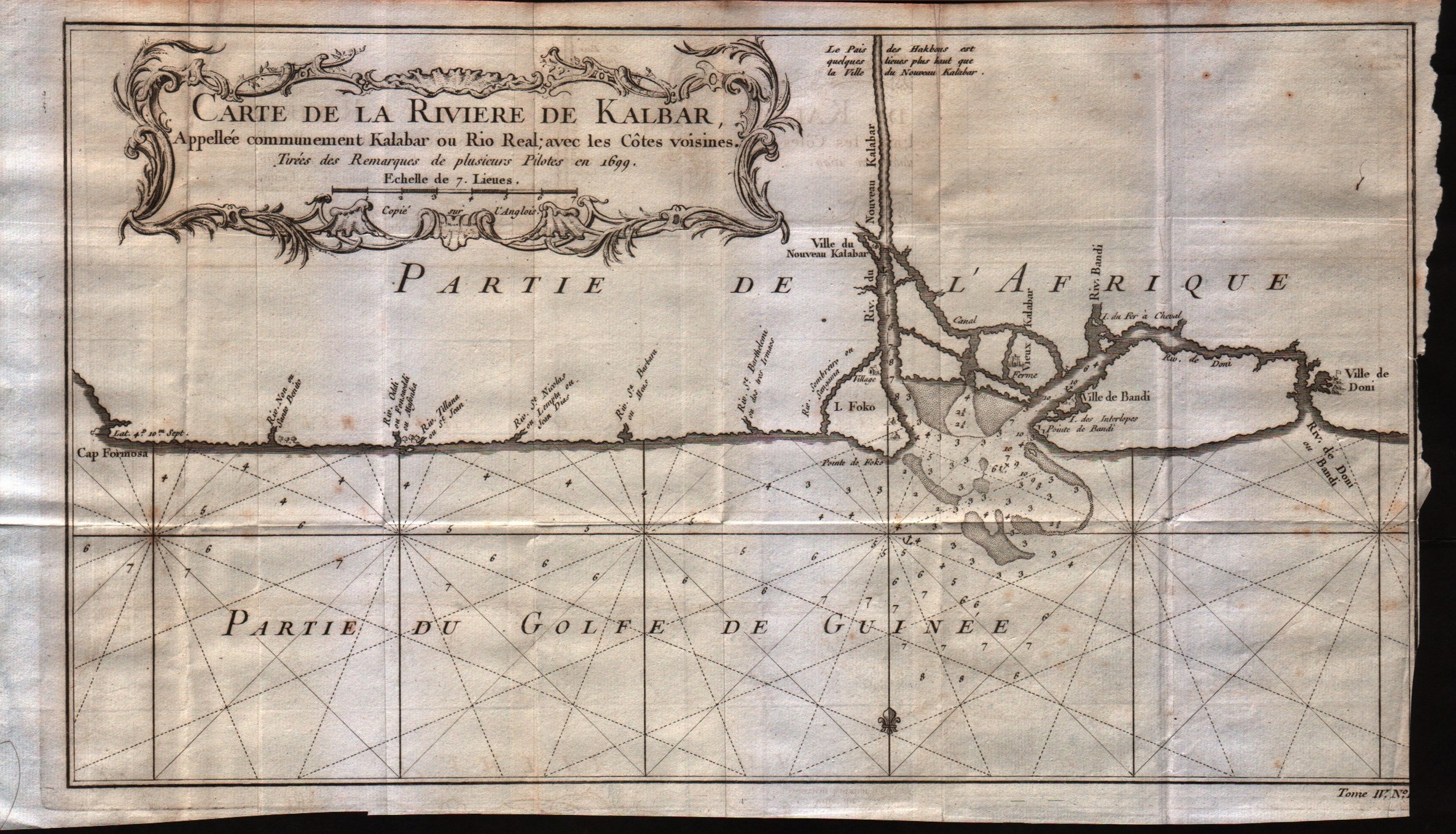
Map title
Carte de la riviere de Kalbar
Author
Bellin
Location shown in map
--
Edition date
1757
Edition place
Paris
Editor
--
Atlas
Historie General des Voyages -- Prevost
Price
Please ask: info@thetreasuremaps.com
State
[mint/excellent/VERY GOOD/good/fair/mediocre/poor]
Color
Black/white
Verso
Blank
Size
Plate: cm (35.6 x 20.3) inches (14.02 x 7.99) Paper: cm (38.1 x 22.9) inches (15 x 9.02)
Technique
Copper engraving
Note
No particular notes for this maps
Reference
--
Wiki
Here for more info
In stock
Available
Info
info@thetreasuremaps.com
Code
#0320
×
![]()
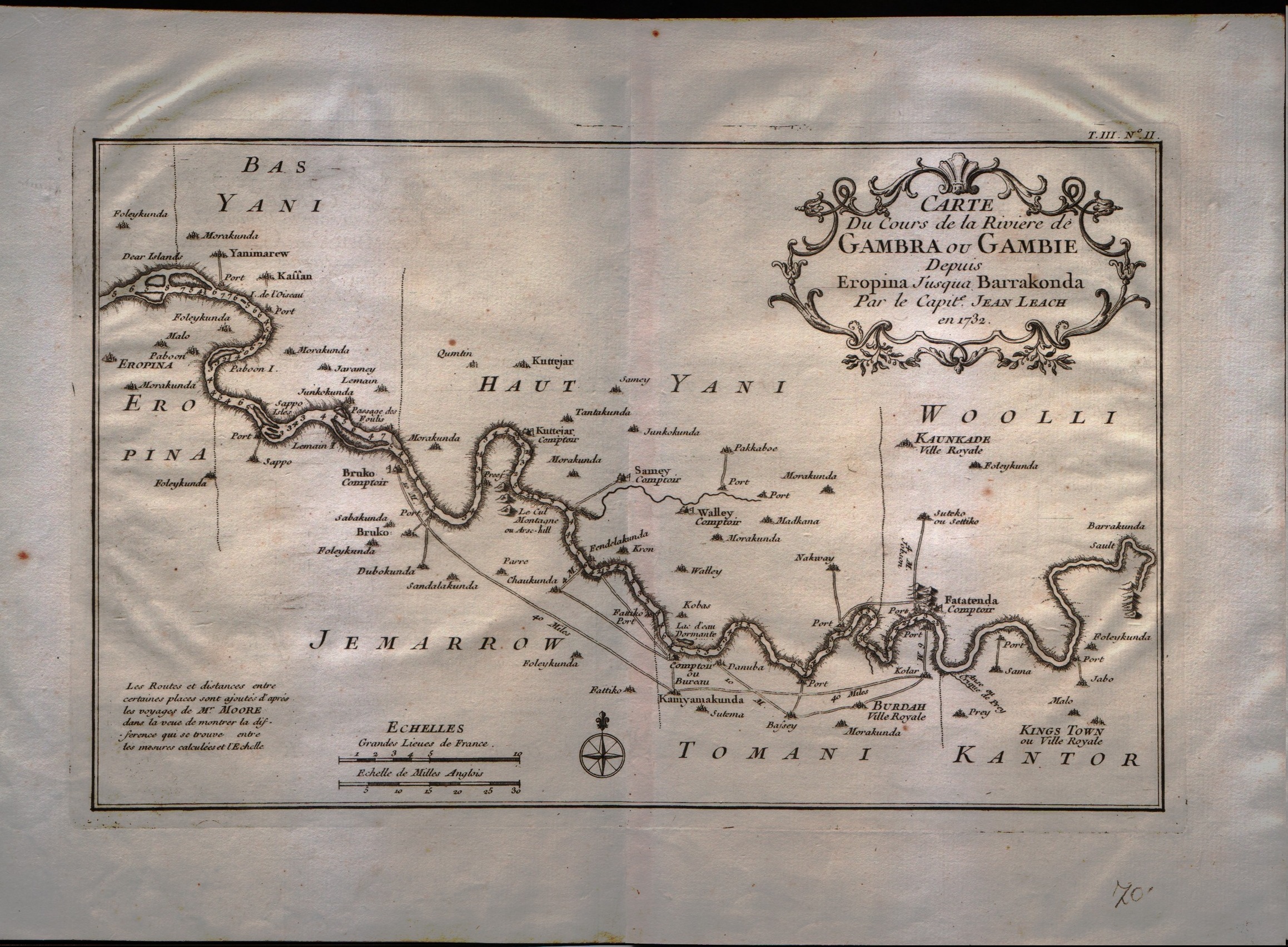
Map title
Carte du cours de la riviere de Gambia ou Gambie depuis ...
Author
Bellin
Location shown in map
Gambia river
Edition date
1757
Edition place
Paris
Editor
--
Atlas
Historie General des Voyages -- Prevost
Price
Please ask: info@thetreasuremaps.com
State
[mint/excellent/VERY GOOD/good/fair/mediocre/poor]
Color
Black/white
Verso
Blank
Size
Plate: cm (31.8 x 20.3) inches (12.52 x 7.99) Paper: cm (35.6 x 22.9) inches (14.02 x 9.02)
Technique
Copper engraving
Note
No particular notes for this maps
Reference
--
Wiki
Here for more info
In stock
Available
Info
info@thetreasuremaps.com
Code
#0321
×
![]()
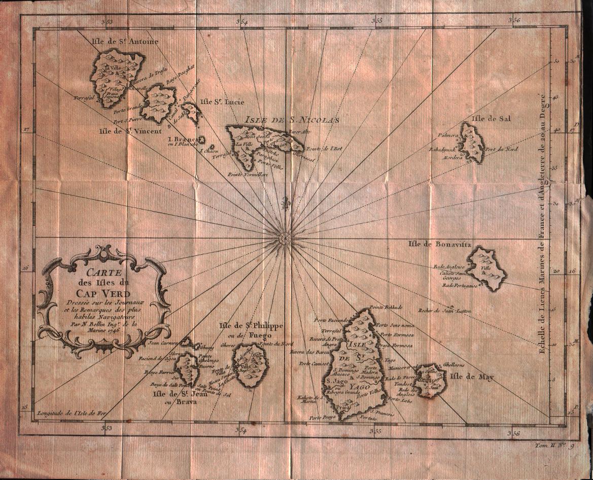
Map title
Carte des isles du Cap Verd
Author
Bellin
Location shown in map
Cape Verde island
Edition date
1757
Edition place
Paris
Editor
--
Atlas
Historie General des Voyages -- Prevost
Price
100 Euro
State
[mint/excellent/VERY GOOD/good/fair/mediocre/poor]
Color
Black/white
Verso
Blank
Size
Plate: cm (27.9 x 21.6) inches (10.98 x 8.5) Paper: cm (30.5 x 25.4) inches (12.01 x 10)
Technique
Copper engraving
Note
No particular notes for this maps
Reference
--
Wiki
Here for more info
In stock
Available
Info
info@thetreasuremaps.com
Code
#0322
×
![]()
Map title
Essay D'Une Catre Reduite Contenant Les Parties Connues Du Globe Terrestre
Author
Bellin
Location shown in map
World
Edition date
1757
Edition place
Paris
Editor
--
Atlas
Historie General DesVoyages
Price
900 Euro
State
[mint/EXCELLENT/very good/good/fair/mediocre/poor]
Color
Black/white
Verso
Blank
Size
Plate: cm ( x ) inches (0 x 0) Paper: cm ( x ) inches (0 x 0)
Technique
Copper engraving
Note
Four sheets
Reference
--
Wiki
Here for more info
In stock
Available
Info
info@thetreasuremaps.com
Code
#0330
×
![]()
Map title
Carte des environs de la ville de Mexico
Author
Bellin
Location shown in map
Map of Mexico city
Edition date
1757
Edition place
Paris
Editor
--
Atlas
Historie General des Voyages -- Prevost
Price
Please ask: info@thetreasuremaps.com
State
[mint/EXCELLENT/very good/good/fair/mediocre/poor]
Color
Black/white
Verso
Blank
Size
Plate: cm (17.8 x 22.9) inches (7.01 x 9.02) Paper: cm (16.5 x 20.3) inches (6.5 x 7.99)
Technique
Copper engraving
Note
No particular notes for this maps
Reference
--
Wiki
Here for more info
In stock
Sold
Info
info@thetreasuremaps.com
Code
#0346
×
![]()
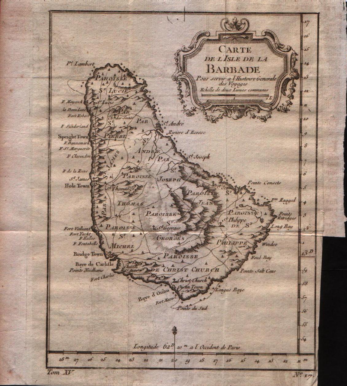
Map title
Carte de l'isle de la Barbade
Author
Bellin
Location shown in map
Barbados
Edition date
1757
Edition place
Paris
Editor
--
Atlas
Historie General des Voyages -- Prevost
Price
150 Euro
State
[mint/EXCELLENT/very good/good/fair/mediocre/poor]
Color
Black/white
Verso
Blank
Size
Plate: cm (15.2 x 20.3) inches (5.98 x 7.99) Paper: cm (17.8 x 22.9) inches (7.01 x 9.02)
Technique
Copper engraving
Note
No particular notes for this maps
Reference
--
Wiki
Here for more info
In stock
Available
Info
info@thetreasuremaps.com
Code
#0347
×
![]()
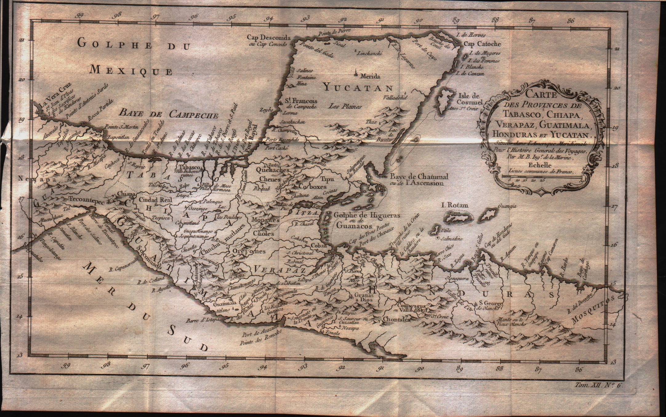
Map title
Carte des Provinces de Tabasco, Chiapa, Verapaz, Guatimala, Honduras et Yucatan
Author
Bellin
Location shown in map
--
Edition date
1757
Edition place
Paris
Editor
--
Atlas
Historie General des Voyages -- Prevost
Price
Please ask: info@thetreasuremaps.com
State
[mint/EXCELLENT/very good/good/fair/mediocre/poor]
Color
Black/white
Verso
Blank
Size
Plate: cm (33 x 20.3) inches (12.99 x 7.99) Paper: cm (35.6 x 22.9) inches (14.02 x 9.02)
Technique
Copper engraving
Note
No particular notes for this maps
Reference
--
Wiki
Here for more info
In stock
Available
Info
info@thetreasuremaps.com
Code
#0348
×
![]()
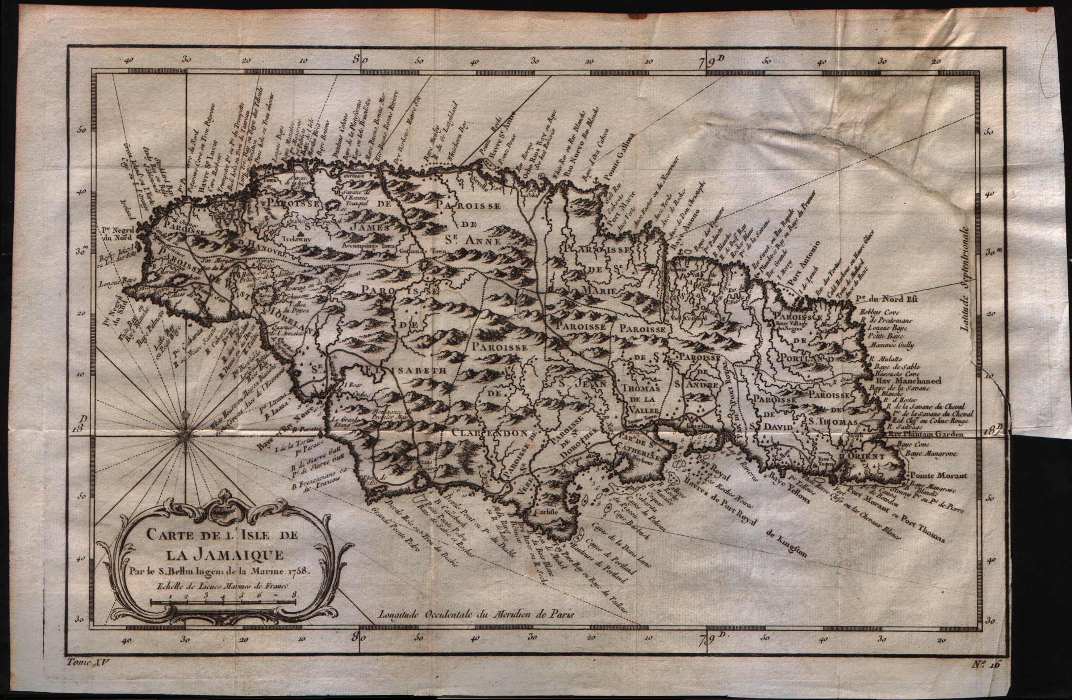
Map title
Carte de lisle de la Jamaique
Author
Bellin
Location shown in map
Jamaica
Edition date
1757
Edition place
Paris
Editor
--
Atlas
Historie General des Voyages -- Prevost
Price
150 Euro
State
[mint/excellent/very good/good/fair/MEDIOCRE/poor]
Color
Black/white
Verso
Blank
Size
Plate: cm (15.2 x 20.3) inches (5.98 x 7.99) Paper: cm (30.5 x 20.3) inches (12.01 x 7.99)
Technique
Copper engraving
Note
No particular notes for this maps
Reference
--
Wiki
Here for more info
In stock
Available
Info
info@thetreasuremaps.com
Code
#0349
×
![]()
Map title
Carte des provinces de Nicaragua et Costa Rica
Author
Bellin
Location shown in map
Nicaragua and Costa Rica
Edition date
1757
Edition place
Paris
Editor
--
Atlas
Historie General des Voyages -- Prevost
Price
Please ask: info@thetreasuremaps.com
State
[mint/EXCELLENT/very good/good/fair/mediocre/poor]
Color
Black/white
Verso
Blank
Size
Plate: cm (16.5 x 20.3) inches (6.5 x 7.99) Paper: cm (19 x 22.9) inches (7.48 x 9.02)
Technique
Copper engraving
Note
No particular notes for this maps
Reference
--
Wiki
Here for more info
In stock
Available
Info
info@thetreasuremaps.com
Code
#0350
×
![]()
Map title
Carte de l'isthme de Panama et des des provinces de Veragua Terre Ferme et Darien
Author
Bellin
Location shown in map
Panama
Edition date
1757
Edition place
Paris
Editor
--
Atlas
Historie General des Voyages -- Prevost
Price
Please ask: info@thetreasuremaps.com
State
[mint/EXCELLENT/very good/good/fair/mediocre/poor]
Color
Black/white
Verso
Blank
Size
Plate: cm (27.9 x 20.3) inches (10.98 x 7.99) Paper: cm (31.8 x 22.9) inches (12.52 x 9.02)
Technique
Copper engraving
Note
No particular notes for this maps
Reference
--
Wiki
Here for more info
In stock
Available
Info
info@thetreasuremaps.com
Code
#0351
×
![]()
Map title
Carte du Mexique
Author
Bellin
Location shown in map
Mexico
Edition date
1757
Edition place
Paris
Editor
--
Atlas
Historie General des Voyages -- Prevost
Price
Please ask: info@thetreasuremaps.com
State
[mint/EXCELLENT/very good/good/fair/mediocre/poor]
Color
Black/white
Verso
Blank
Size
Plate: cm (29.2 x 20.3) inches (11.5 x 7.99) Paper: cm (31.8 x 22.9) inches (12.52 x 9.02)
Technique
Copper engraving
Note
No particular notes for this maps
Reference
--
Wiki
Here for more info
In stock
Available
Info
info@thetreasuremaps.com
Code
#0352
×
![]()
Map title
Carte de l'isle de la Grenade
Author
Bellin
Location shown in map
Grenada
Edition date
1757
Edition place
Paris
Editor
--
Atlas
Historie General des Voyages -- Prevost
Price
150 Euro
State
[mint/EXCELLENT/very good/good/fair/mediocre/poor]
Color
Black/white
Verso
Blank
Size
Plate: cm (15.2 x 21.6) inches (5.98 x 8.5) Paper: cm (20.3 x 25.4) inches (7.99 x 10)
Technique
Copper engraving
Note
No particular notes for this maps
Reference
--
Wiki
Here for more info
In stock
Available
Info
info@thetreasuremaps.com
Code
#0353
×
![]()
Map title
Carte de l'isle de la Guadeloupe
Author
Bellin
Location shown in map
Guadeloupe
Edition date
1757
Edition place
Paris
Editor
--
Atlas
Historie General des Voyages -- Prevost
Price
150 Euro
State
[mint/EXCELLENT/very good/good/fair/mediocre/poor]
Color
Black/white
Verso
Blank
Size
Plate: cm (30.5 x 21.6) inches (12.01 x 8.5) Paper: cm (34.3 x 25.4) inches (13.5 x 10)
Technique
Copper engraving
Note
No particular notes for this maps
Reference
--
Wiki
Here for more info
In stock
Available
Info
info@thetreasuremaps.com
Code
#0354
×
![]()
Map title
Carte de l'isle St.Christophle
Author
Bellin
Location shown in map
St.Christopher
Edition date
1757
Edition place
Paris
Editor
--
Atlas
Historie General des Voyages -- Prevost
Price
150 Euro
State
[mint/EXCELLENT/very good/good/fair/mediocre/poor]
Color
Black/white
Verso
Blank
Size
Plate: cm (30.5 x 20.3) inches (12.01 x 7.99) Paper: cm (34.3 x 24.1) inches (13.5 x 9.49)
Technique
Copper engraving
Note
No particular notes for this maps
Reference
--
Wiki
Here for more info
In stock
Available
Info
info@thetreasuremaps.com
Code
#0355
×
![]()
Map title
Carte de l'isle de Saint Domingue
Author
Bellin
Location shown in map
Haiti
Edition date
1757
Edition place
Paris
Editor
--
Atlas
Historie General des Voyages -- Prevost
Price
150 Euro
State
[mint/EXCELLENT/very good/good/fair/mediocre/poor]
Color
Black/white
Verso
Blank
Size
Plate: cm (27.9 x 20.3) inches (10.98 x 7.99) Paper: cm (33 x 25.4) inches (12.99 x 10)
Technique
Copper engraving
Note
No particular notes for this maps
Reference
--
Wiki
Here for more info
In stock
Available
Info
info@thetreasuremaps.com
Code
#0356
×
![]()
Map title
Carte de l'isle de la Martinique
Author
Bellin
Location shown in map
Martinique
Edition date
1757
Edition place
Paris
Editor
--
Atlas
Historie General des Voyages -- Prevost
Price
150 Euro
State
[mint/EXCELLENT/very good/good/fair/mediocre/poor]
Color
Black/white
Verso
Blank
Size
Plate: cm (29.2 x 20.3) inches (11.5 x 7.99) Paper: cm (34.3 x 25.4) inches (13.5 x 10)
Technique
Copper engraving
Note
No particular notes for this maps
Reference
--
Wiki
Here for more info
In stock
Available
Info
info@thetreasuremaps.com
Code
#0357
×
![]()
Map title
Plan de la Ville de Quebec
Author
Bellin
Location shown in map
Map of Quebec city
Edition date
1757
Edition place
Paris
Editor
--
Atlas
Historie General des Voyages -- Prevost
Price
Please ask: info@thetreasuremaps.com
State
[mint/EXCELLENT/very good/good/fair/mediocre/poor]
Color
Black/white
Verso
Blank
Size
Plate: cm (29.2 x 21.6) inches (11.5 x 8.5) Paper: cm (27.9 x 19.7) inches (10.98 x 7.76)
Technique
Copper engraving
Note
No particular notes for this maps
Reference
--
Wiki
Here for more info
In stock
Sold
Info
info@thetreasuremaps.com
Code
#0374
×
![]()
Map title
Plan de Jedo
Author
Bellin
Location shown in map
Japan
Edition date
1757
Edition place
Paris
Editor
--
Atlas
Historie General des Voyages -- Prevost
Price
Please ask: info@thetreasuremaps.com
State
[mint/EXCELLENT/very good/good/fair/mediocre/poor]
Color
Black/white
Verso
Blank
Size
Plate: cm (26.7 x 25.4) inches (10.51 x 10) Paper: cm (24.1 x 24.1) inches (9.49 x 9.49)
Technique
Copper engraving
Note
Map of Tokyo
Reference
--
Wiki
Here for more info
In stock
Sold
Info
info@thetreasuremaps.com
Code
#0375
×
![]()
Map title
Plan du Port et de la Ville de Nangasaki
Author
Bellin
Location shown in map
Japan
Edition date
1757
Edition place
Paris
Editor
--
Atlas
Historie General des Voyages -- Prevost
Price
Please ask: info@thetreasuremaps.com
State
[mint/EXCELLENT/very good/good/fair/mediocre/poor]
Color
Black/white
Verso
Blank
Size
Plate: cm (35.6 x 21.6) inches (14.02 x 8.5) Paper: cm (33 x 20.3) inches (12.99 x 7.99)
Technique
Copper engraving
Note
No particular notes for this maps
Reference
--
Wiki
Here for more info
In stock
Sold
Info
info@thetreasuremaps.com
Code
#0376
×
![]()
Map title
Plan de la Ville de Peking
Author
Bellin
Location shown in map
Pekin
Edition date
1757
Edition place
Paris
Editor
--
Atlas
Historie General des Voyages -- Prevost
Price
Please ask: info@thetreasuremaps.com
State
[mint/EXCELLENT/very good/good/fair/mediocre/poor]
Color
Black/white
Verso
Blank
Size
Plate: cm (15.2 x 21.6) inches (5.98 x 8.5) Paper: cm (16.5 x 22.9) inches (6.5 x 9.02)
Technique
Copper engraving
Note
No particular notes for this maps
Reference
--
Wiki
Here for more info
In stock
Sold
Info
info@thetreasuremaps.com
Code
#0396
×
![]()
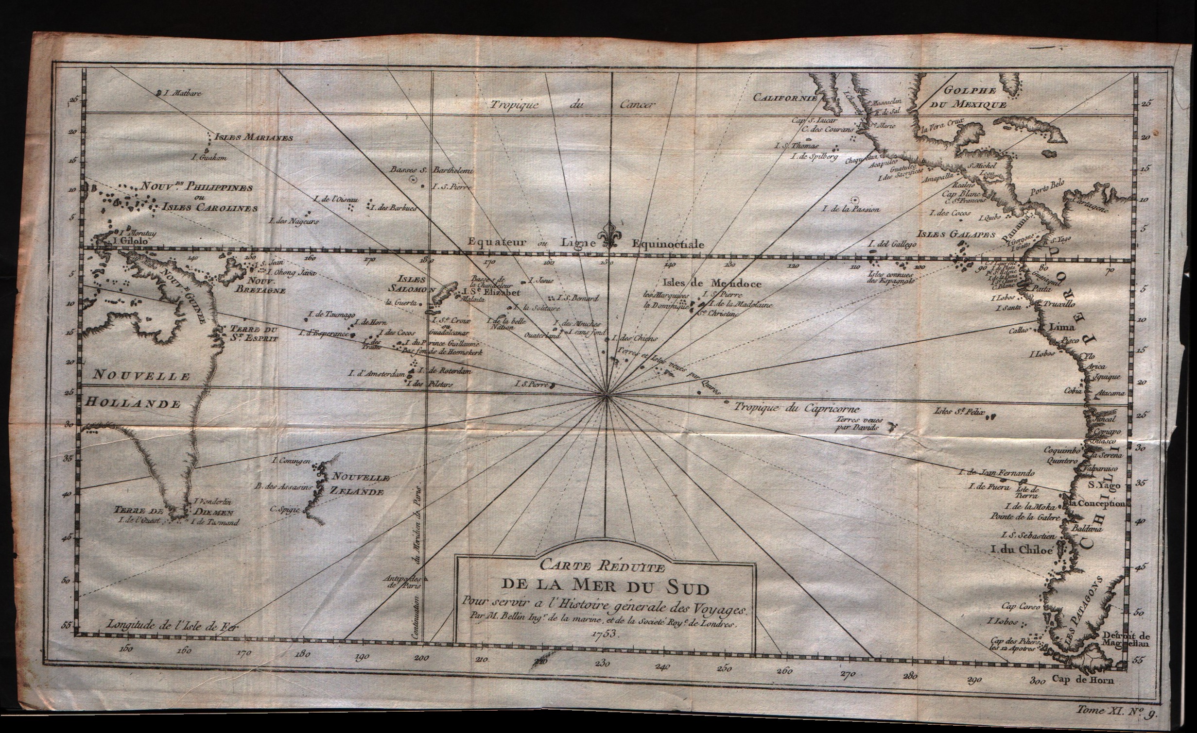
Map title
Carte reduite de la Mer Du Sud
Author
Bellin
Location shown in map
South Pacific
Edition date
1757
Edition place
Paris
Editor
--
Atlas
Historie General des Voyages -- Prevost
Price
300 Euro
State
[mint/excellent/VERY GOOD/good/fair/mediocre/poor]
Color
Black/white
Verso
Blank
Size
Plate: cm (34.3 x 21.6) inches (13.5 x 8.5) Paper: cm (34.3 x 21.6) inches (13.5 x 8.5)
Technique
Copper engraving
Note
Showing recent discoveries in the South Pacific: Australia's eastern coastline is virtually featureless, running from New Guinea to Tasmania without a break. Only a small section of New Zealand is marked.
Reference
--
Wiki
Here for more info
In stock
Available
Info
info@thetreasuremaps.com
Code
#0403
×
![]()
Map title
Carte de la nouvelle Angleterre
Author
Bellin
Location shown in map
New England
Edition date
1757
Edition place
Paris
Editor
--
Atlas
Historie General des Voyages -- Prevost
Price
Please ask: info@thetreasuremaps.com
State
[mint/excellent/VERY GOOD/good/fair/mediocre/poor]On up-left missing 2mm
Color
Black/white
Verso
Blank
Size
Plate: cm (29.2 x 20.3) inches (11.5 x 7.99) Paper: cm (30.5 x 22.9) inches (12.01 x 9.02)
Technique
Copper engraving
Note
The New England colonies are named except Vermont which is still the unnamed disputed territory between New Hampshire and New York. The area covered as a whole extends from Penobscot Bay south to Chesapeake Bay and west to Lake Erie. The map illustrates provinces, towns, forts, rivers, Native American lands and relief.
Reference
--
Wiki
Here for more info
In stock
Sold
Info
info@thetreasuremaps.com
Code
#0404
×
![]()
Map title
Suite du cours du Fleuve de S.Laurent depuis Quebec jusqu'au Lac Ontario
Author
Bellin
Location shown in map
--
Edition date
1757
Edition place
Paris
Editor
--
Atlas
Historie General des Voyages -- Prevost
Price
Please ask: info@thetreasuremaps.com
State
[mint/EXCELLENT/very good/good/fair/mediocre/poor]
Color
Black/white
Verso
Blank
Size
Plate: cm (27.9 x 17.8) inches (10.98 x 7.01) Paper: cm (30.5 x 22.9) inches (12.01 x 9.02)
Technique
Copper engraving
Note
No particular notes for this maps
Reference
--
Wiki
Here for more info
In stock
Sold
Info
info@thetreasuremaps.com
Code
#0405
×
![]()
Map title
L'Empire De La Chine
Author
Bellin
Location shown in map
--
Edition date
1757
Edition place
Paris
Editor
--
Atlas
Historie General des Voyages -- Prevost
Price
Please ask: info@thetreasuremaps.com
State
[mint/excellent/VERY GOOD/good/fair/mediocre/poor]
Color
Black/white
Verso
Blank
Size
Plate: cm (40.6 x 27.9) inches (15.98 x 10.98) Paper: cm (41.9 x 32.4) inches (16.5 x 12.76)
Technique
Copper engraving
Note
No particular notes for this maps
Reference
--
Wiki
Here for more info
In stock
Sold
Info
info@thetreasuremaps.com
Code
#0428
×
![]()
Map title
Carte de la Baye de Hocsieu et des Entrées de la Riviere de Chang
Author
Bellin
Location shown in map
Estuary of the Chiang River now Fu-chou in the province of Fukien.
Edition date
1757
Edition place
Paris
Editor
--
Atlas
Historie General des Voyages -- Prevost
Price
Please ask: info@thetreasuremaps.com
State
[mint/EXCELLENT/very good/good/fair/mediocre/poor]
Color
Black/white
Verso
Blank
Size
Plate: cm (27.9 x 20.3) inches (10.98 x 7.99) Paper: cm (36.8 x 27.9) inches (14.49 x 10.98)
Technique
Copper engraving
Note
No particular notes for this maps
Reference
--
Wiki
Here for more info
In stock
Sold
Info
info@thetreasuremaps.com
Code
#0431
×
![]()
Map title
Carte de la baye de Chin-Chew ou Chang-Chew
Author
Bellin
Location shown in map
--
Edition date
1757
Edition place
Paris
Editor
--
Atlas
Historie General des Voyages -- Prevost
Price
Please ask: info@thetreasuremaps.com
State
[mint/EXCELLENT/very good/good/fair/mediocre/poor]
Color
Black/white
Verso
Blank
Size
Plate: cm (29.2 x 21.6) inches (11.5 x 8.5) Paper: cm (30.5 x 22.9) inches (12.01 x 9.02)
Technique
Copper engraving
Note
No particular notes for this maps
Reference
--
Wiki
Here for more info
In stock
Sold
Info
info@thetreasuremaps.com
Code
#0448
×
![]()
Map title
L'isle Formose
Author
Bellin
Location shown in map
Taiwan
Edition date
1757
Edition place
Paris
Editor
--
Atlas
Historie General des Voyages -- Prevost
Price
Please ask: info@thetreasuremaps.com
State
[mint/EXCELLENT/very good/good/fair/mediocre/poor]
Color
Black/white
Verso
Blank
Size
Plate: cm (25.4 x 22.9) inches (10 x 9.02) Paper: cm (30.5 x 24.1) inches (12.01 x 9.49)
Technique
Copper engraving
Note
No particular notes for this maps
Reference
--
Wiki
Here for more info
In stock
Sold
Info
info@thetreasuremaps.com
Code
#0449
×
![]()
Map title
Suite De L'Ocean Oriental contenant les isles del la Sonde les costes de Tunquin et de la Chine les isles du Japon les Philippines Moluques.
Author
Bellin
Location shown in map
--
Edition date
1757
Edition place
Paris
Editor
--
Atlas
Historie General des Voyages -- Prevost
Price
Please ask: info@thetreasuremaps.com
State
[mint/excellent/VERY GOOD/good/fair/mediocre/poor]
Color
Black/white
Verso
Blank
Size
Plate: cm (29.8 x 29.2) inches (11.73 x 11.5) Paper: cm (33.7 x 32.4) inches (13.27 x 12.76)
Technique
Copper engraving
Note
Note the unusual outlines of Japan and Korea. And the not well known Nouvelle Guinee
Reference
--
Wiki
Here for more info
In stock
Sold
Info
info@thetreasuremaps.com
Code
#0452
×
![]()
Map title
Plan de la Ville et Cite de St.Francois de Quito
Author
Bellin
Location shown in map
Quito
Edition date
1757
Edition place
Paris
Editor
--
Atlas
Historie General des Voyages -- Prevost
Price
Please ask: info@thetreasuremaps.com
State
[mint/EXCELLENT/very good/good/fair/mediocre/poor]
Color
Black/white
Verso
Blank
Size
Plate: cm (36.8 x 25.4) inches (14.49 x 10) Paper: cm (33 x 17.8) inches (12.99 x 7.01)
Technique
Copper engraving
Note
No particular notes for this maps
Reference
--
Wiki
Here for more info
In stock
Sold
Info
info@thetreasuremaps.com
Code
#0459
×
![]()
Map title
Plan de la Ville de Santiago
Author
Bellin
Location shown in map
Santiago
Edition date
1757
Edition place
Paris
Editor
--
Atlas
Historie General des Voyages -- Prevost
Price
Please ask: info@thetreasuremaps.com
State
[mint/EXCELLENT/very good/good/fair/mediocre/poor]
Color
Black/white
Verso
Blank
Size
Plate: cm (35.6 x 25.4) inches (14.02 x 10) Paper: cm (27.9 x 17.8) inches (10.98 x 7.01)
Technique
Copper engraving
Note
No particular notes for this maps
Reference
--
Wiki
Here for more info
In stock
Sold
Info
info@thetreasuremaps.com
Code
#0460
×
![]()
Map title
Carte reduite des Terres Australes
Author
Bellin
Location shown in map
Australia
Edition date
1757
Edition place
Paris
Editor
--
Atlas
Historie General des Voyages -- Prevost
Price
Please ask: info@thetreasuremaps.com
State
[mint/excellent/VERY GOOD/good/fair/mediocre/poor] The right edge has a small tear into the plate. The right edge has a narrow margin.
Color
Black/white
Verso
Blank
Size
Plate: cm (26.7 x 20.3) inches (10.51 x 7.99) Paper: cm (29.2 x 22.9) inches (11.5 x 9.02)
Technique
Copper engraving
Note
No particular notes for this maps
Reference
--
Wiki
Here for more info
In stock
Sold
Info
info@thetreasuremaps.com
Code
#0472
×
![]()
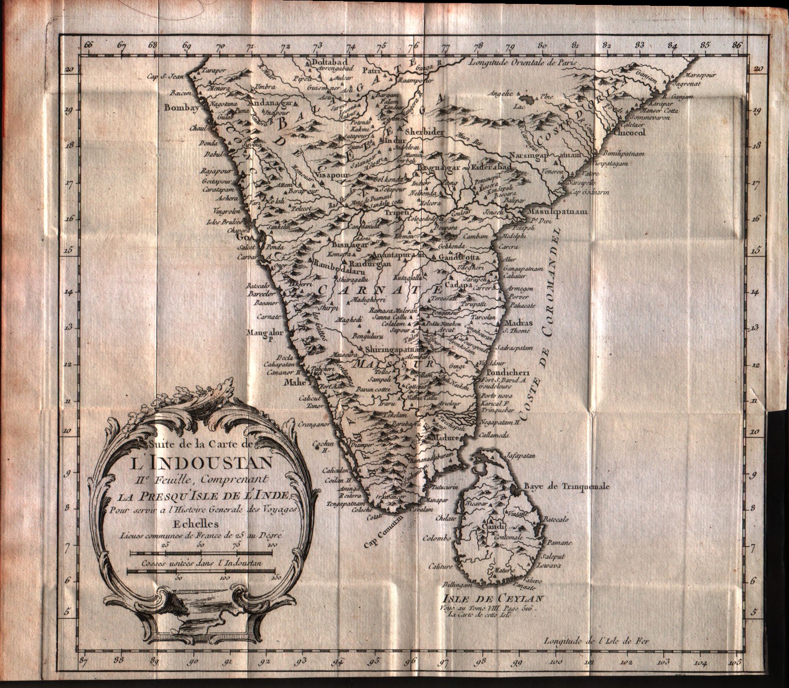
Map title
Suite de la carte de l'Indoustan, II feuille, comprendant la presqu'isle de l'Inde
Author
Bellin
Location shown in map
India
Edition date
1757
Edition place
Paris
Editor
--
Atlas
Historie General des Voyages -- Prevost
Price
125 Euro
State
[mint/EXCELLENT/very good/good/fair/mediocre/poor]
Color
Black/white
Verso
Blank
Size
Plate: cm (24.1 x 21.6) inches (9.49 x 8.5) Paper: cm (33 x 26.7) inches (12.99 x 10.51)
Technique
Copper engraving
Note
No particular notes for this maps
Reference
--
Wiki
Here for more info
In stock
Available
Info
info@thetreasuremaps.com
Code
#0547
×
![]()
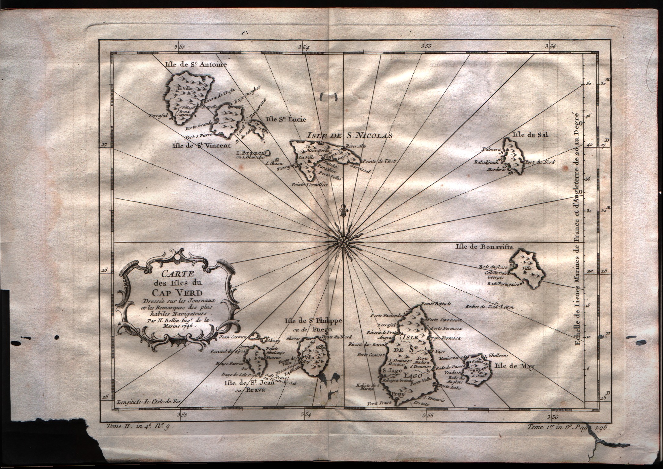
Map title
Carte des isles du Cap Verd
Author
Bellin
Location shown in map
Cape Verde island
Edition date
1757
Edition place
Paris
Editor
--
Atlas
Historie General des Voyages -- Prevost
Price
100 Euro
State
[mint/excellent/VERY GOOD/good/fair/mediocre/poor]
Color
Black/white
Verso
Blank
Size
Plate: cm (27.9 x 21.6) inches (10.98 x 8.5) Paper: cm (35.6 x 25.4) inches (14.02 x 10)
Technique
Copper engraving
Note
No particular notes for this maps
Reference
--
Wiki
Here for more info
In stock
Available
Info
info@thetreasuremaps.com
Code
#0549
×
![]()
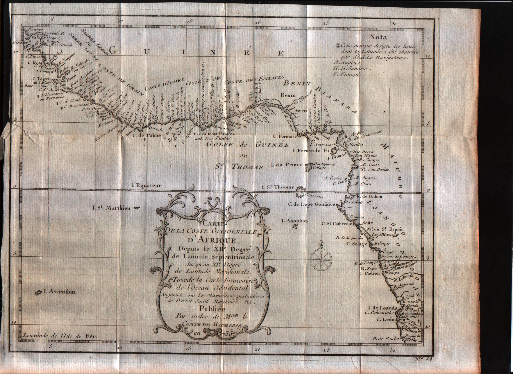
Map title
Carte de la coste Occidentale d'Afrique Depuis le XII degree de latitude Septentrionale
Author
Bellin
Location shown in map
West Africa
Edition date
1757
Edition place
Paris
Editor
--
Atlas
--
Price
Please ask: info@thetreasuremaps.com
State
[mint/excellent/VERY GOOD/good/fair/mediocre/poor]
Color
Black/white
Verso
Blank
Size
Plate: cm (24.1 x 19) inches (9.49 x 7.48) Paper: cm (27.9 x 22.9) inches (10.98 x 9.02)
Technique
Copper engraving
Note
No particular notes for this maps
Reference
--
Wiki
Here for more info
In stock
Available
Info
info@thetreasuremaps.com
Code
#0550
×
![]()
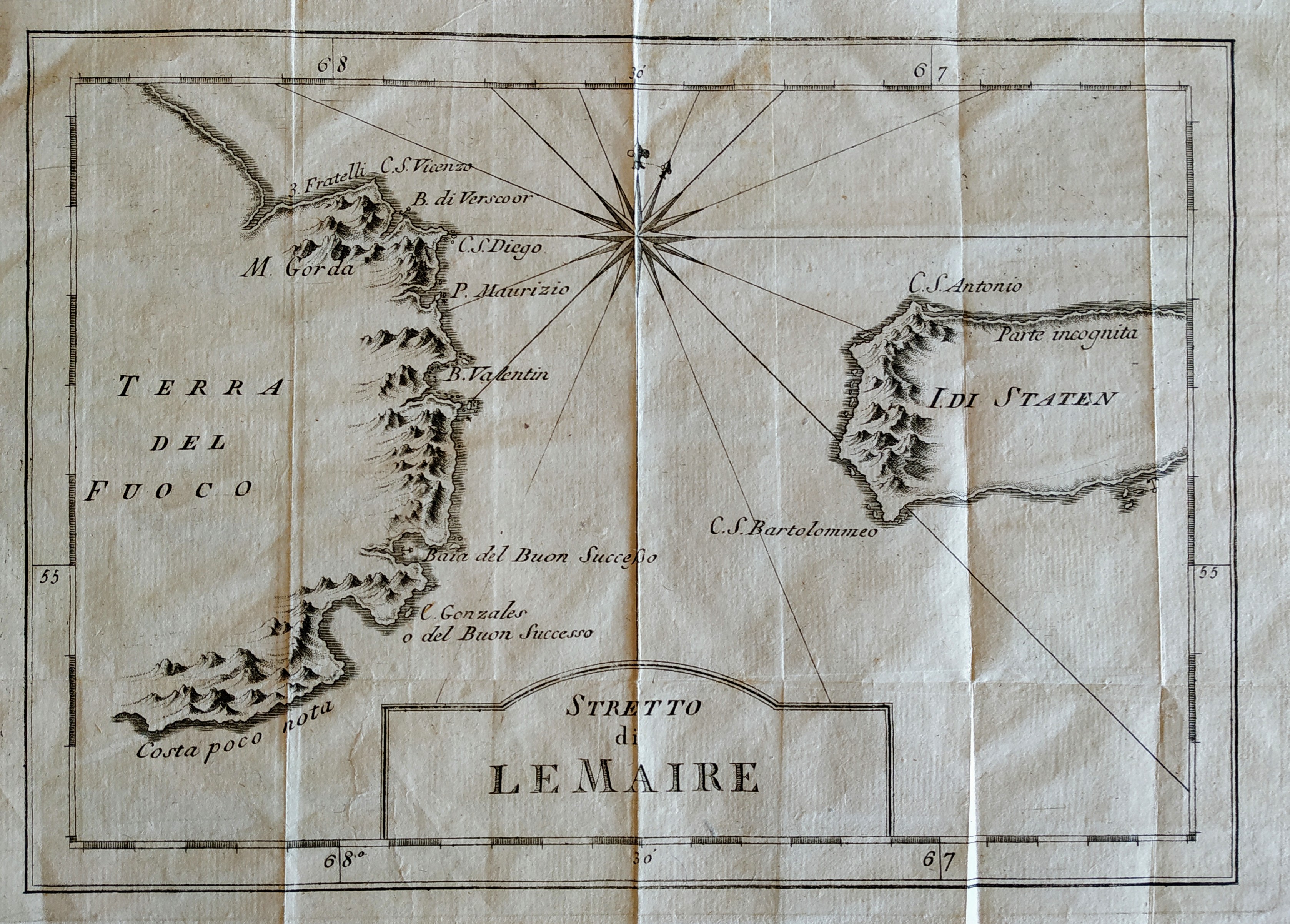
Map title
Stretto di Le Maire
Author
Bellin
Location shown in map
Magellan straits
Edition date
1757
Edition place
Paris
Editor
Prevost
Atlas
Historie General des Voyages -- Prevost
Price
75 Euro
State
[mint/EXCELLENT/very good/good/fair/mediocre/poor]
Color
Black/white
Verso
Blank
Size
Plate: cm (27 x 19) inches (10.63 x 7.48) Paper: cm (32 x 26) inches (12.6 x 10.24)
Technique
Copper engraving
Note
No particular notes for this maps
Reference
--
Wiki
Here for more info
In stock
Available
Info
info@thetreasuremaps.com
Code
#0669
×
![]()
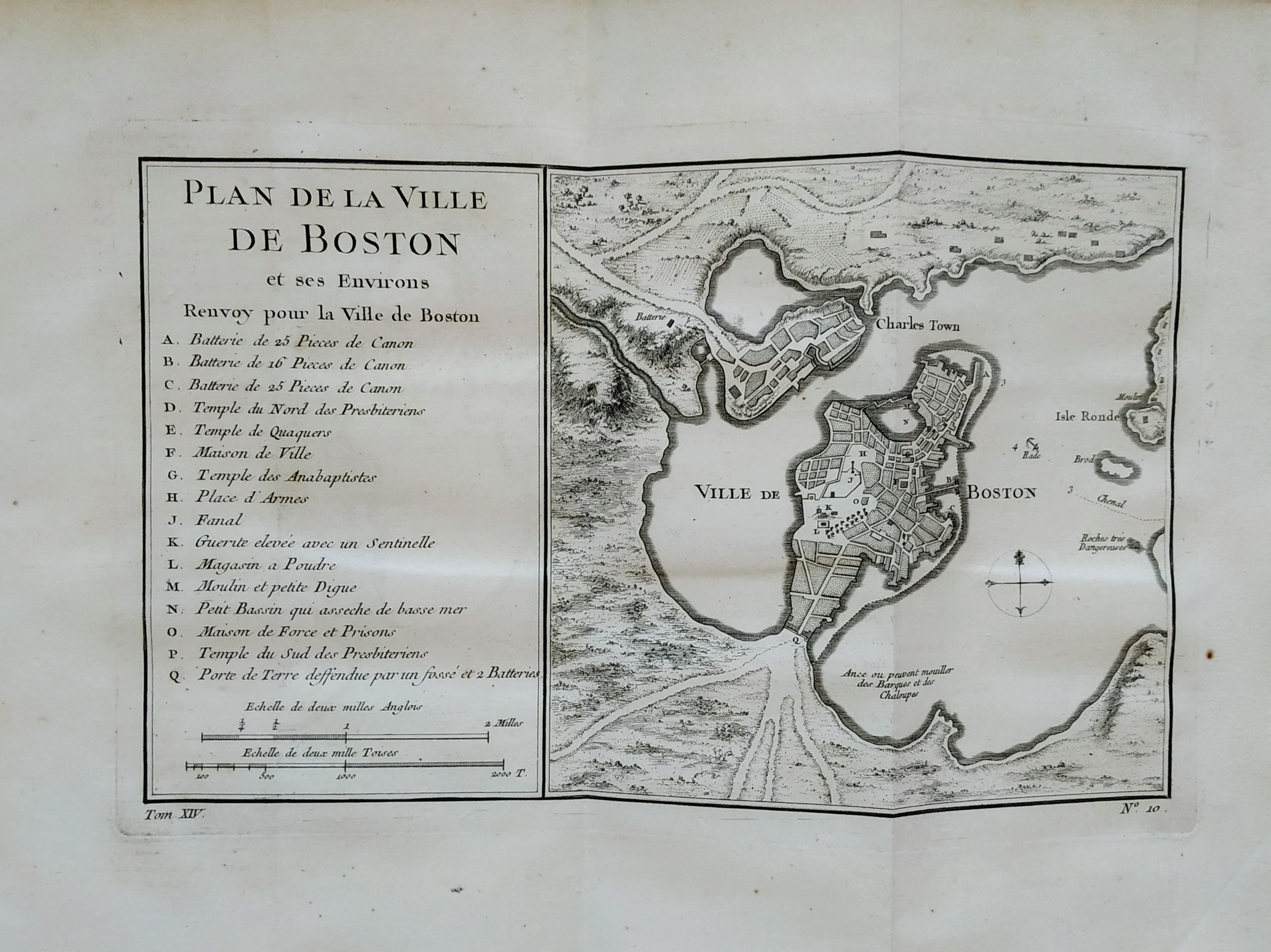
Map title
Plan de la ville de Boston
Author
Bellin
Location shown in map
Boston
Edition date
1757
Edition place
Paris
Editor
Prevost
Atlas
Historie General des Voyages -- Prevost
Price
300 Euro
State
[mint/EXCELLENT/very good/good/fair/mediocre/poor]
Color
Black/white
Verso
Blank
Size
Plate: cm (27 x 16) inches (10.63 x 6.3) Paper: cm (36 x 28) inches (14.17 x 11.02)
Technique
Copper engraving
Note
No particular notes for this maps
Reference
--
Wiki
Here for more info
In stock
Sold
Info
info@thetreasuremaps.com
Code
#0757
×
![]()
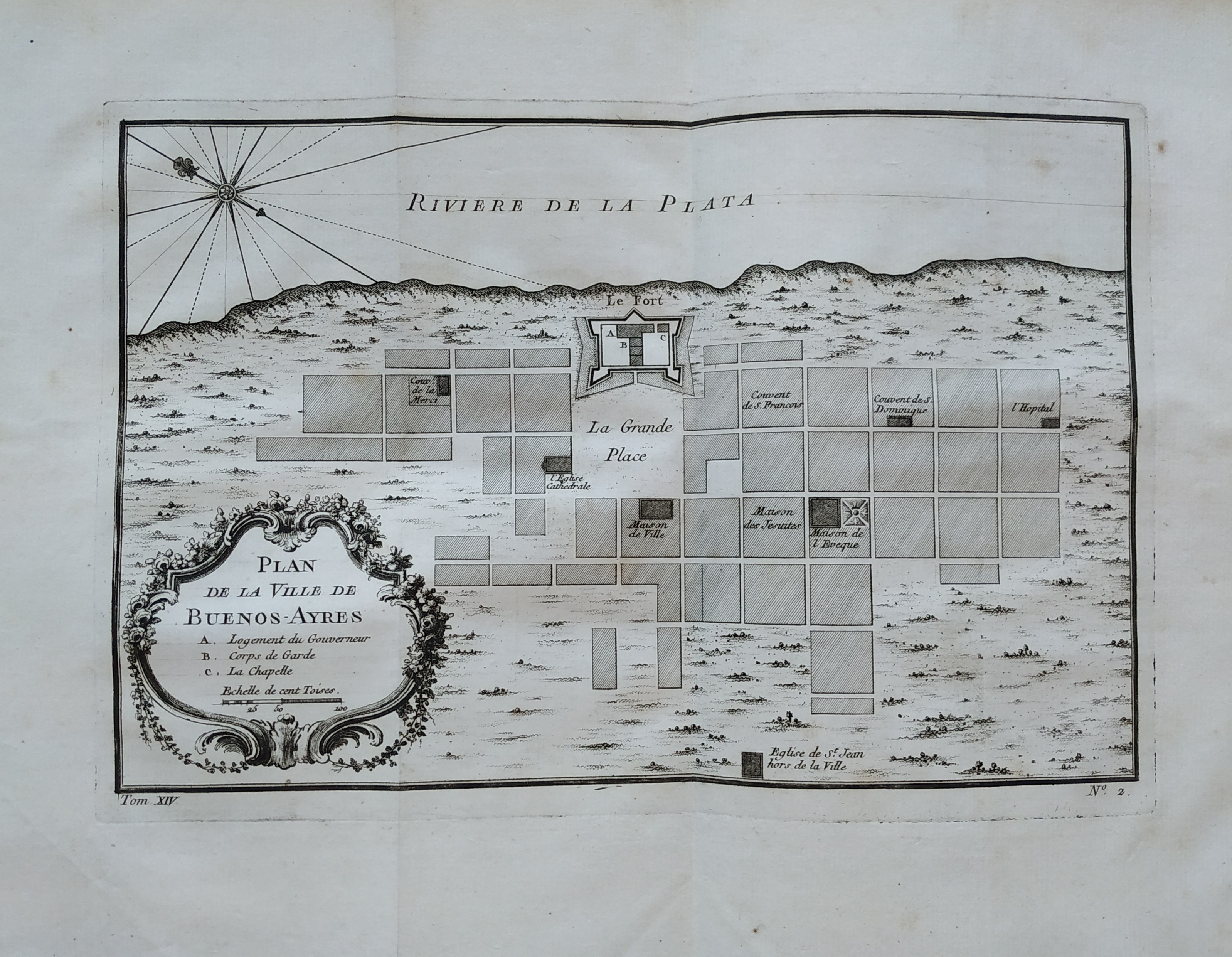
Map title
Plan de la ville de Buenos-Ayres
Author
Bellin
Location shown in map
Buenos Aires
Edition date
1757
Edition place
Paris
Editor
Prevost
Atlas
Historie General des Voyages -- Prevost
Price
150 Euro
State
[mint/EXCELLENT/very good/good/fair/mediocre/poor]
Color
Black/white
Verso
Blank
Size
Plate: cm (27 x 18) inches (10.63 x 7.09) Paper: cm (36 x 51) inches (14.17 x 20.08)
Technique
Copper engraving
Note
No particular notes for this maps
Reference
--
Wiki
Here for more info
In stock
Available
Info
info@thetreasuremaps.com
Code
#0758
×
![]()
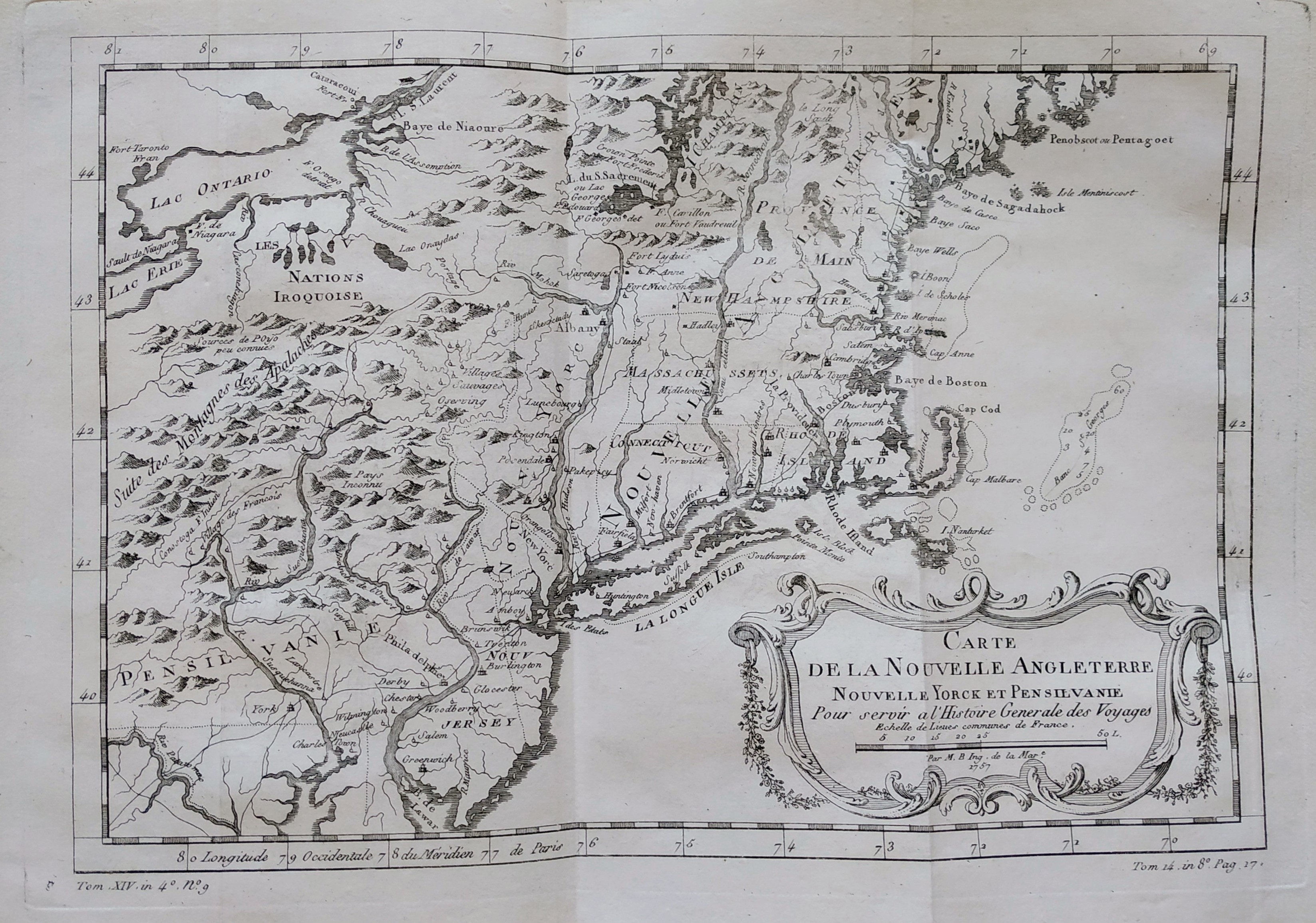
Map title
Carte de la nouvelle Angleterre
Author
Bellin
Location shown in map
New England
Edition date
1757
Edition place
Paris
Editor
Prevost
Atlas
Historie General des Voyages -- Prevost
Price
300 Euro
State
[mint/EXCELLENT/very good/good/fair/mediocre/poor]
Color
Black/white
Verso
Blank
Size
Plate: cm (29 x 20) inches (11.42 x 7.87) Paper: cm (37 x 25) inches (14.57 x 9.84)
Technique
Copper engraving
Note
The New England colonies are named except Vermont which is still the unnamed disputed territory between New Hampshire and New York. The area covered as a whole extends from Penobscot Bay south to Chesapeake Bay and west to Lake Erie. The map illustrates provinces, towns, forts, rivers, Native American lands and relief.
Reference
--
Wiki
Here for more info
In stock
Available
Info
info@thetreasuremaps.com
Code
#0762
×
![]()
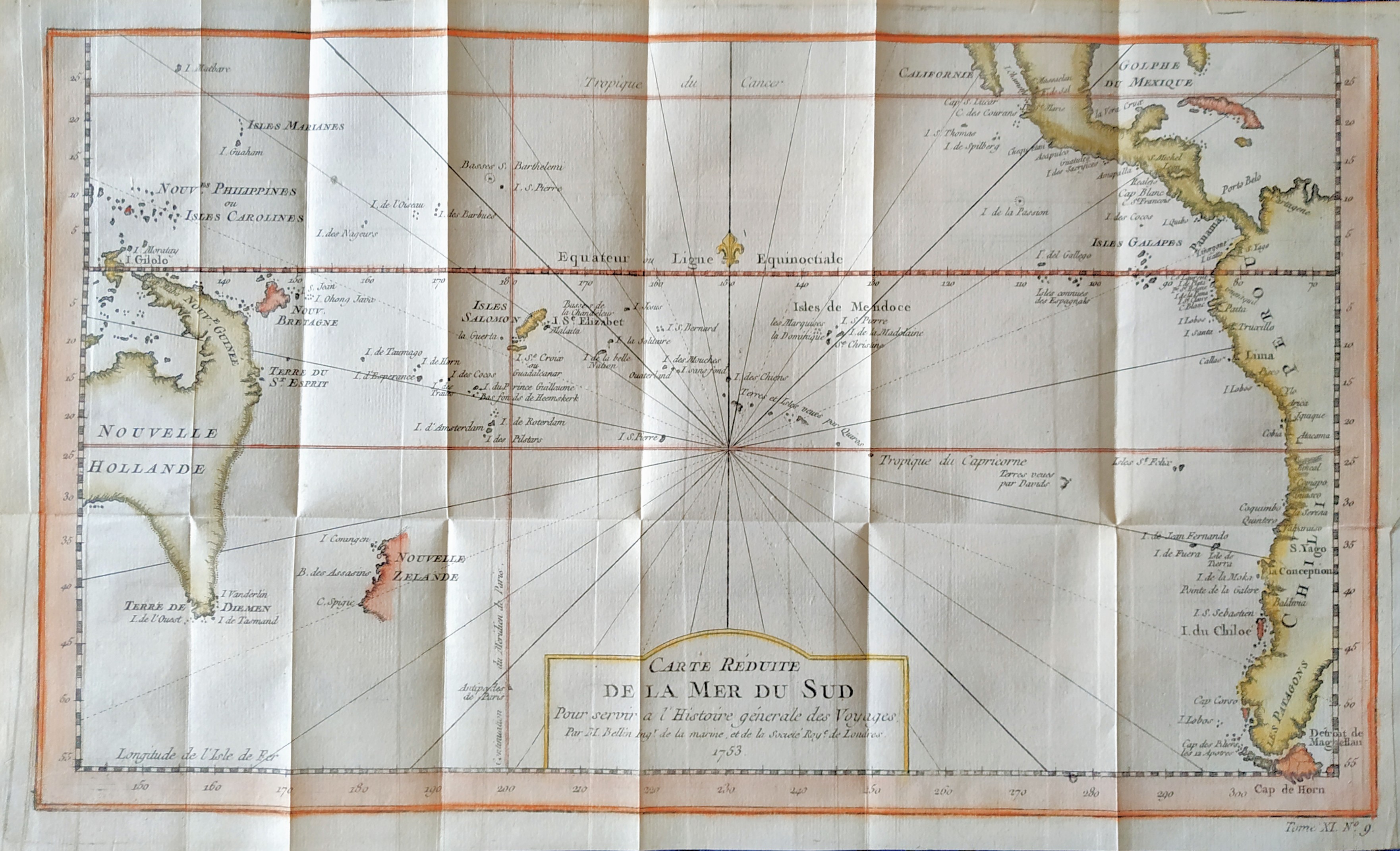
Map title
Carte reduite de la mer du Sud
Author
Bellin
Location shown in map
South Pacific
Edition date
1757
Edition place
Paris
Editor
--
Atlas
Historie General des Voyages -- Prevost
Price
300 Euro
State
[mint/EXCELLENT/very good/good/fair/mediocre/poor]
Color
Modern color
Verso
Blank
Size
Plate: cm (35.5 x 21) inches (13.98 x 8.27) Paper: cm (39 x 23) inches (15.35 x 9.06)
Technique
Copper engraving
Note
Showing recent discoveries in the South Pacific: Australia's eastern coastline is virtually featureless, running from New Guinea to Tasmania without a break. Only a small section of New Zealand is marked.
Reference
--
Wiki
Here for more info
In stock
Available
Info
info@thetreasuremaps.com
Code
#0806
×
![]()
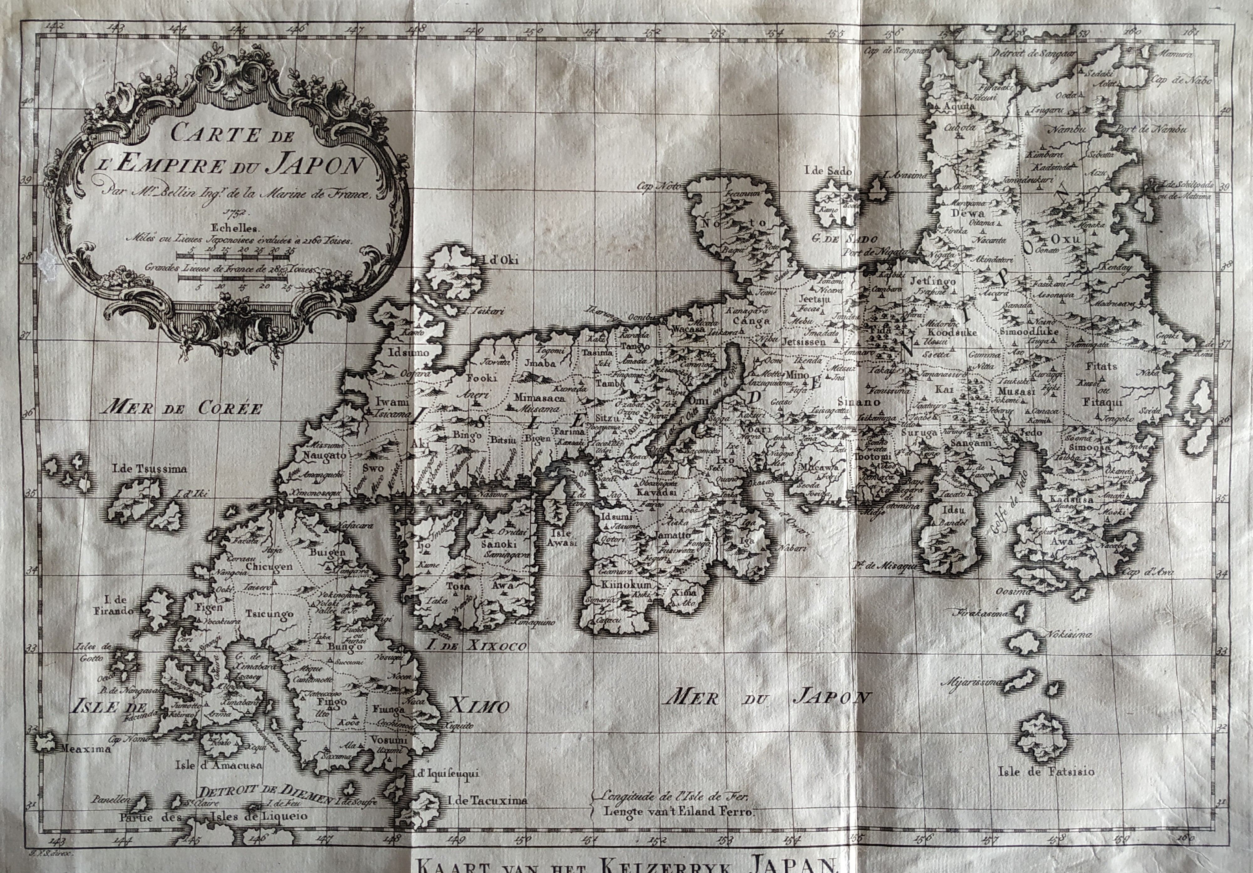
Map title
Carte De L'Empire Du Japon
Author
Bellin
Location shown in map
Japan
Edition date
1757
Edition place
Paris
Editor
--
Atlas
Historie General des Voyages -- Prevost
Price
450 Euro
State
[mint/EXCELLENT/very good/good/fair/mediocre/poor]
Color
Black/white
Verso
Blank
Size
Plate: cm (31.1 x 21.6) inches (12.24 x 8.5) Paper: cm (31.1 x 22.9) inches (12.24 x 9.02)
Technique
Copper engraving
Note
No particular notes for this maps
Reference
--
Wiki
Here for more info
In stock
Available
Info
info@thetreasuremaps.com
Code
#0807
×
![]()
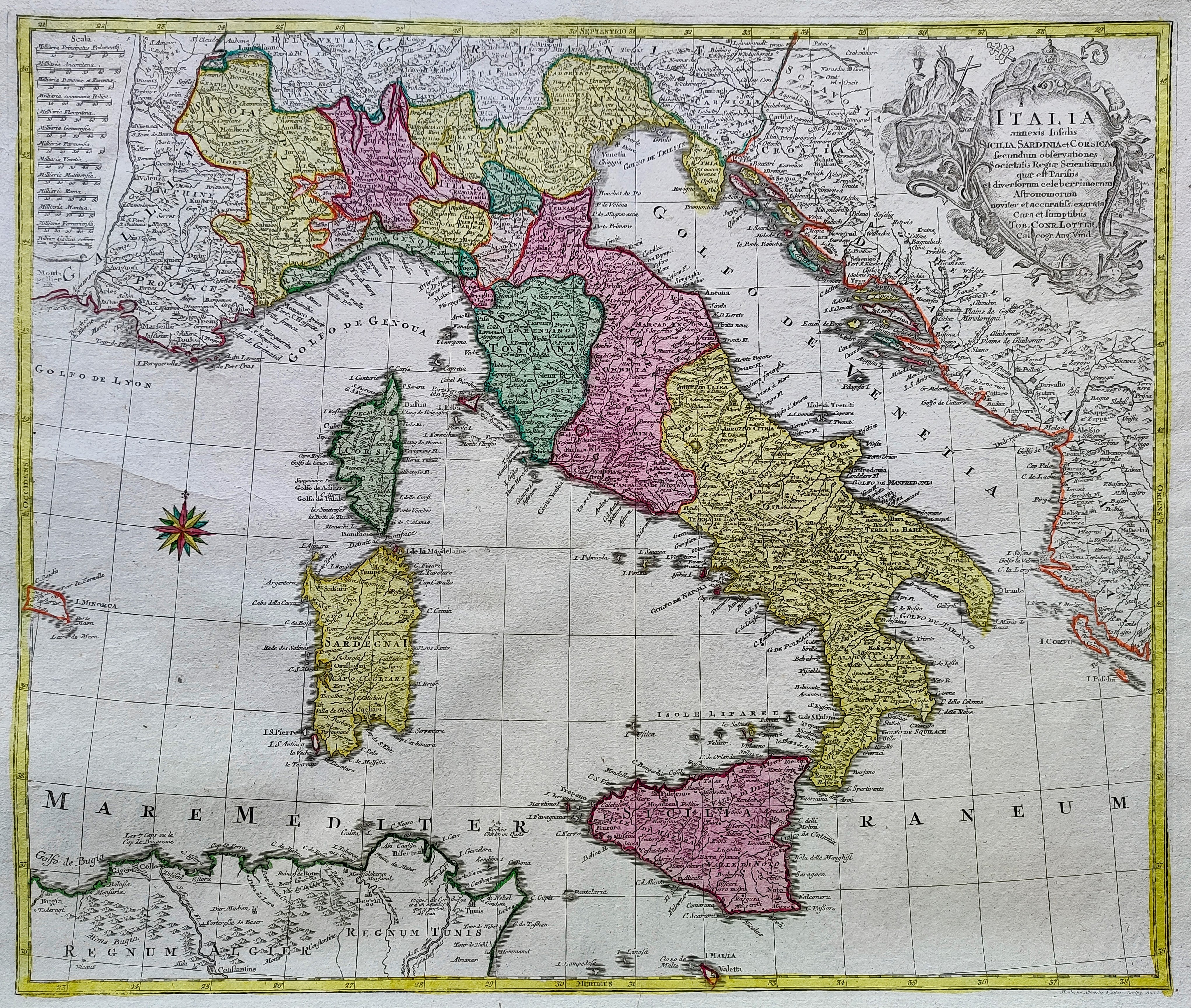
Map title
Italia annexis Insulis Sicilia Sardinia et Corsica ...
Author
Lotter
Location shown in map
Italy
Edition date
1758
Edition place
Ausburg
Editor
Lotter
Atlas
Price
500 Euro
State
[mint/EXCELLENT/very good/good/fair/mediocre/poor]
Color
Old colors
Verso
Blank
Size
Plate: cm (47 x 56) inches (18.5 x 22.05) Paper: cm (58 x 70) inches (22.83 x 27.56)
Technique
Copper engraving
Note
Reference
R.Borri L'Italia nelle antiche carte pag.233
Wiki
Here for more info
In stock
Available
Info
info@thetreasuremaps.com
Code
#0853
×
![]()
Map title
Essay D'Une Catre Reduite Contenant Les Parties Connues Du Globe Terrestre
Author
Location shown in map
World
Edition date
1759
Edition place
London
Editor
--
Atlas
A voyage round the world in the years MDCCXL, by George Anson.
Price
Please ask: info@thetreasuremaps.com
State
[mint/EXCELLENT/very good/good/fair/mediocre/poor]
Color
Black/white
Verso
Blank
Size
Plate: cm (22.2 x 40) inches (8.74 x 15.75) Paper: cm (22.2 x 40) inches (8.74 x 15.75)
Technique
--
Note
A Chart, shewing the Track of the Centurion. Interesting Pacific centred double page Mercator world map with insular California.
Reference
--
Wiki
Here for more info
In stock
Sold
Info
info@thetreasuremaps.com
Code
#0389
×
![]()
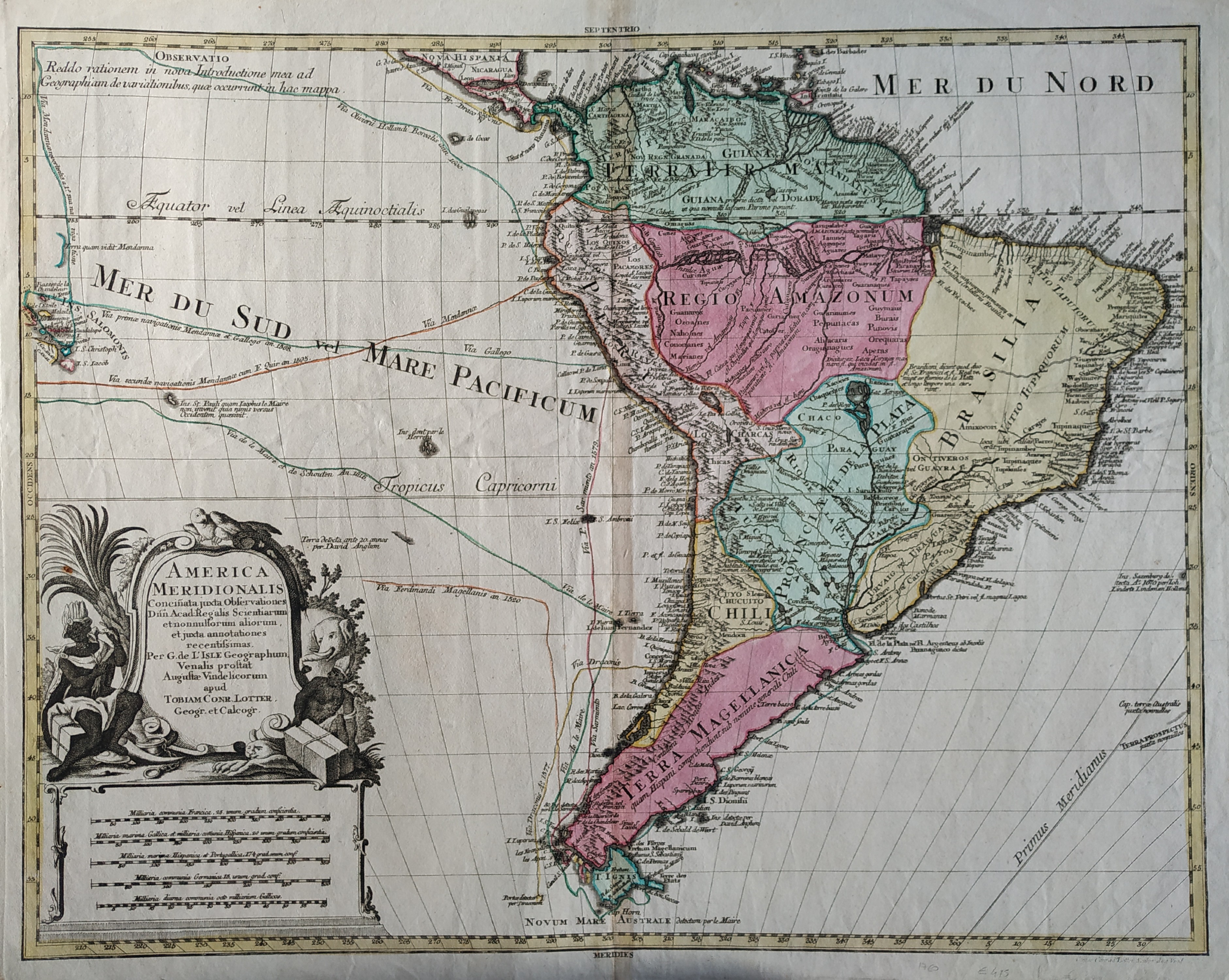
Map title
America meridionalis
Author
Lotter
Location shown in map
South America
Edition date
1760
Edition place
Paris
Editor
--
Atlas
--
Price
400 Euro
State
[mint/EXCELLENT/very good/GOOD/fair/mediocre/poor]
Color
Old colors
Verso
Blank
Size
Plate: cm (58.4 x 45.7) inches (22.99 x 17.99) Paper: cm (66 x 50.8) inches (25.98 x 20)
Technique
Copper engraving
Note
No particular notes for this maps
Reference
--
Wiki
Here for more info
In stock
Available
Info
info@thetreasuremaps.com
Code
#0053
×
![]()
Map title
L'Amerique divisee en ses principaux etats
Author
Janvier
Location shown in map
North and south America
Edition date
1760
Edition place
Paris
Editor
Lattre
Atlas
--
Price
Please ask: info@thetreasuremaps.com
State
[mint/EXCELLENT/very good/good/fair/mediocre/poor]
Color
Old colors
Verso
Blank
Size
Plate: cm (66 x 45.7) inches (25.98 x 17.99) Paper: cm (71.1 x 53.3) inches (27.99 x 20.98)
Technique
Copper engraving
Note
No particular notes for this maps.
Reference
--
Wiki
Here for more info
In stock
Available
Info
info@thetreasuremaps.com
Code
#0566
×
![]()
Map title
L'Italie
Author
Robert de Vaugondy
Location shown in map
Italy
Edition date
Circa 1760
Edition place
Paris
Editor
Boudet
Atlas
Atlas Universel
Price
300 Euro
State
[mint/EXCELLENT/very good/good/fair/mediocre/poor]
Color
Old color
Verso
Blank
Size
Plate: cm (55 x 48) inches (21.65 x 18.9) Paper: cm (65 x 54) inches (25.59 x 21.26)
Technique
Copper engraving
Note
Reference
Wiki
Here for more info
In stock
Available
Info
info@thetreasuremaps.com
Code
#0787
×
![]()
Map title
Carta dell'isola di Santa Lucia
Author
Bellin
Location shown in map
Sant Lucia
Edition date
1760
Edition place
Paris
Editor
--
Atlas
Historie General des Voyages -- Prevost
Price
150 Euro
State
[mint/EXCELLENT/very good/good/fair/mediocre/poor]
Color
Black/white
Verso
Blank
Size
Plate: cm (30 x 20) inches (11.81 x 7.87) Paper: cm (33 x 23) inches (12.99 x 9.06)
Technique
Copper engraving
Note
Reference
--
Wiki
Here for more info
In stock
Available
Info
info@thetreasuremaps.com
Code
#1172
×
![]()
Map title
Carta della Danimarca
Author
Kitchin
Location shown in map
Denmark
Edition date
Circa 1760
Edition place
Paris
Editor
Atlas
Price
75 Euro
State
[mint/EXCELLENT/very good/good/fair/mediocre/poor]
Color
Black/white
Verso
Blank
Size
Plate: cm (34 x 30) inches (13.39 x 11.81) Paper: cm (39 x 33) inches (15.35 x 12.99)
Technique
Copper engraving
Note
Reference
Wiki
Here for more info
In stock
Available
Info
info@thetreasuremaps.com
Code
#1178
×
![]()
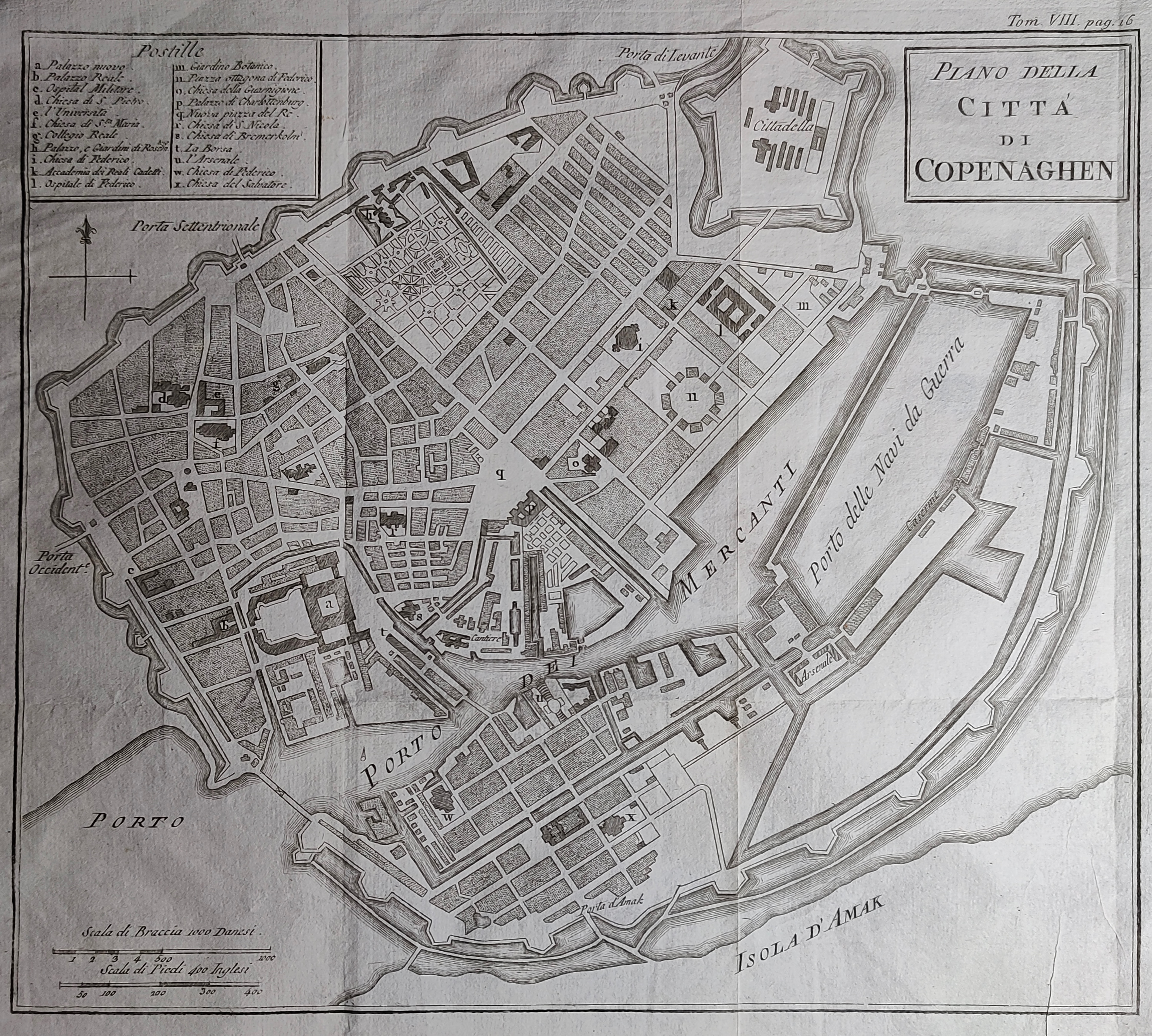
Map title
Piano della citta di Copenaghen
Author
Kitchin
Location shown in map
Copenaghen
Edition date
Circa 1760
Edition place
Paris
Editor
Atlas
Price
75 Euro
State
[mint/EXCELLENT/very good/good/fair/mediocre/poor]
Color
Black/white
Verso
Blank
Size
Plate: cm (30 x 26) inches (11.81 x 10.24) Paper: cm (39 x 30) inches (15.35 x 11.81)
Technique
Copper engraving
Note
Reference
Wiki
Here for more info
In stock
Available
Info
info@thetreasuremaps.com
Code
#1179
×
![]()
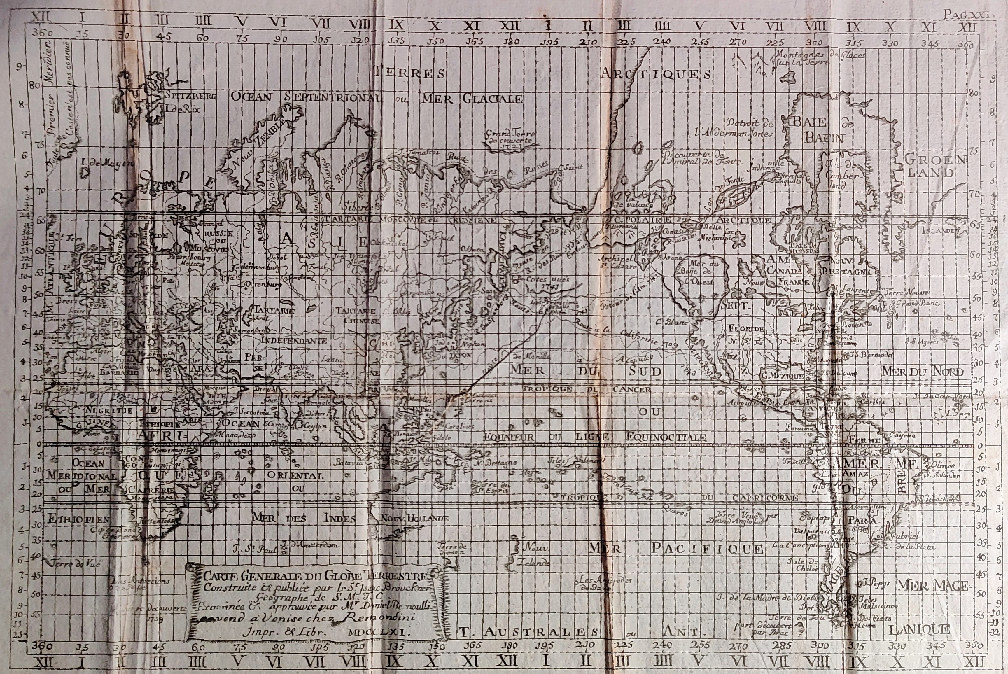
Map title
Carte Generale du Globe Terrestre
Author
Remondini
Location shown in map
World
Edition date
1761
Edition place
Venice
Editor
Atlas
Dizionario geografico portatile
Price
250 Euro
State
[mint/excellent/VERY GOOD/good/fair/mediocre/poor]
Color
Black/white
Verso
Blank
Size
Plate: cm (33 x 22) inches (12.99 x 8.66) Paper: cm (39 x 29) inches (15.35 x 11.42)
Technique
Copper engraving
Note
Reference
Wiki
Here for more info
In stock
Available
Info
info@thetreasuremaps.com
Code
#0908
×
![]()
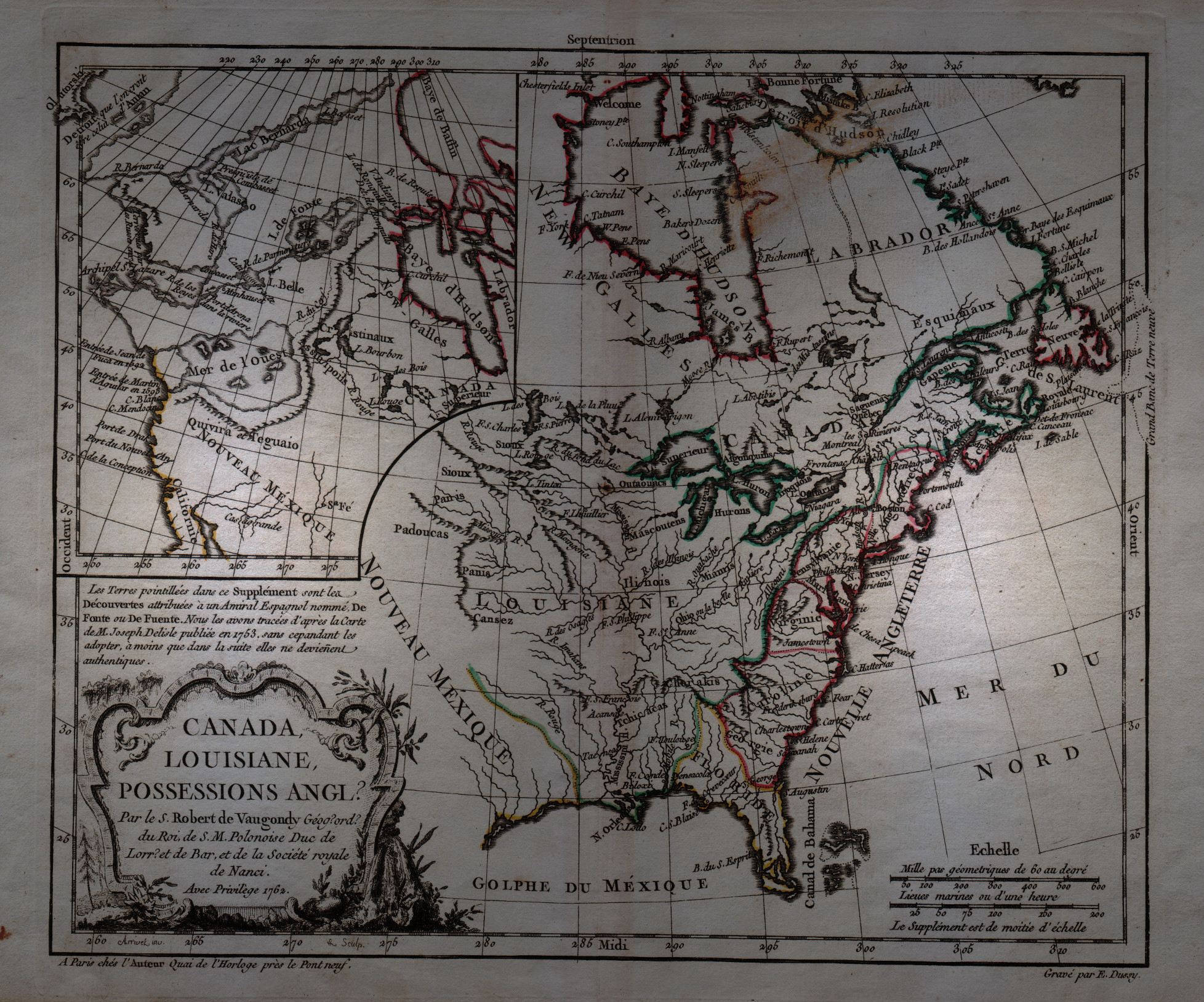
Map title
Canada, Louisiane, Possessions Anglais
Author
Robert de Vaugondy
Location shown in map
North America
Edition date
1762
Edition place
Paris
Editor
--
Atlas
Atlas Protatif
Price
300 Euro
State
[mint/EXCELLENT/very good/good/fair/mediocre/poor]
Color
Black/white
Verso
Blank
Size
Plate: cm (29.2 x 24.1) inches (11.5 x 9.49) Paper: cm (40.6 x 26.7) inches (15.98 x 10.51)
Technique
Copper engraving
Note
First state of this interesting map of the colonial possessions of England, France and Spain in North America. A large inset map covers the west coast and is most notable for its depiction of two remarkable cartographic misconceptions; a huge Mer de l' Ouest or Sea of the West and a Northwest Passage through a system of rivers and lakes connecting Hudson Bay with the Pacific based on the fictitious discoveries of Admiral de Font.
Reference
--
Wiki
Here for more info
In stock
Available
Info
info@thetreasuremaps.com
Code
#0058
×
![]()
Map title
Partie Orientale de L'Amerique Septentrionale
Author
Tardieu
Location shown in map
--
Edition date
1762
Edition place
--
Editor
--
Atlas
--
Price
Please ask: info@thetreasuremaps.com
State
[mint/EXCELLENT/very good/good/fair/mediocre/poor]
Color
Black/white
Verso
Blank
Size
Plate: cm (34.3 x 21.6) inches (13.5 x 8.5) Paper: cm (40.6 x 25.4) inches (15.98 x 10)
Technique
Copper engraving
Note
No particular notes for this maps
Reference
--
Wiki
Here for more info
In stock
Sold
Info
info@thetreasuremaps.com
Code
#0387
×
![]()
Map title
Cours du Fleuve S.Laurent depuis Montreal jasqu'a Tadoussac
Author
Tardieu
Location shown in map
--
Edition date
1762
Edition place
--
Editor
--
Atlas
--
Price
Please ask: info@thetreasuremaps.com
State
[mint/EXCELLENT/very good/good/fair/mediocre/poor]
Color
Black/white
Verso
Blank
Size
Plate: cm (34.3 x 21.6) inches (13.5 x 8.5) Paper: cm (40.6 x 25.4) inches (15.98 x 10)
Technique
Copper engraving
Note
No particular notes for this maps
Reference
--
Wiki
Here for more info
In stock
Sold
Info
info@thetreasuremaps.com
Code
#0388
×
![]()
Map title
Carta geografica del regno di Corsica
Author
Tirion
Location shown in map
Corsica
Edition date
1762
Edition place
Venice
Editor
--
Atlas
Modern History printed by Thomas Salmon.
Price
250 Euro
State
[mint/excellent/VERY GOOD/good/fair/mediocre/poor]
Color
Black/white
Verso
Blank
Size
Plate: cm (43.2 x 33) inches (17.01 x 12.99) Paper: cm (48.3 x 36.8) inches (19.02 x 14.49)
Technique
Copper engraving
Note
Detailed map of the Corsica island.
Reference
--
Wiki
Here for more info
In stock
Sold
Info
info@thetreasuremaps.com
Code
#0402
×
![]()
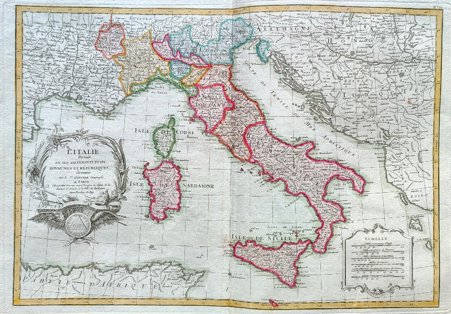
Map title
L'Italie divisee en ses ...
Author
Janvier
Location shown in map
Italy
Edition date
Circa 1762
Edition place
Paris
Editor
Atlas
--
Price
250 Euro
State
[mint/EXCELLENT/very good/good/fair/mediocre/poor]
Color
Old colors
Verso
Blank
Size
Plate: cm (31 x 44) inches (12.2 x 17.32) Paper: cm (39 x 53) inches (15.35 x 20.87)
Technique
Copper engraving
Note
Reference
R.Borri L'Italia nelle antiche carte pag.254
Wiki
Here for more info
In stock
Available
Info
info@thetreasuremaps.com
Code
#0855
×
![]()
Map title
Canton Lucern sive illustris helvetiorum respublica Lucernensis cum subditis suis et confinibus
Author
Homann
Location shown in map
Lucerne
Edition date
1763
Edition place
Nuremberg
Editor
Atlas
Price
200 Euro
State
[mint/EXCELLENT/very good/good/fair/mediocre/poor]
Color
Old colors
Verso
Blank
Size
Plate: cm (51 x 59) inches (20.08 x 23.23) Paper: cm (55 x 64) inches (21.65 x 25.2)
Technique
Copper engraving
Note
Reference
Wiki
Here for more info
In stock
Available
Info
info@thetreasuremaps.com
Code
#0735
×
![]()
Map title
L'Italie
Author
Le Rouge
Location shown in map
Italy
Edition date
Circa 1765
Edition place
Paris
Editor
--
Atlas
Atlas Nouveau Portatif l'usage des militaries et du voyageur
Price
200 Euro
State
[mint/EXCELLENT/very good/good/fair/mediocre/poor]
Color
Old outlined
Verso
Blank
Size
Plate: cm (20.3 x 27.3) inches (7.99 x 10.75) Paper: cm (20.3 x 27.3) inches (7.99 x 10.75)
Technique
Copper engraving
Note
Reference
R.Borri L'Italia nelle antiche carte pag.157
Wiki
Here for more info
In stock
Available
Info
info@thetreasuremaps.com
Code
#0158
×
![]()
Map title
L'Italie divisee ...
Author
Louise Brion De La Tour
Location shown in map
Italy
Edition date
1766
Edition place
Paris
Editor
Atlas
Atlas General
Price
300 Euro
State
[mint/EXCELLENT/very good/good/fair/mediocre/poor]
Color
Old colors
Verso
Blank
Size
Plate: cm (53 x 37) inches (20.87 x 14.57) Paper: cm (55 x 39) inches (21.65 x 15.35)
Technique
Copper engraving
Note
Reference
R.Borri L'Italia nelle antiche carte pag.257
Wiki
Here for more info
In stock
Available
Info
info@thetreasuremaps.com
Code
#1013
×
![]()
Map title
Les isles Britanniques
Author
Philippe
Location shown in map
British Isles
Edition date
1767
Edition place
Paris
Editor
Atlas
Price
125 Euro
State
[mint/EXCELLENT/very good/good/fair/mediocre/poor]
Color
Black/white
Verso
Blank
Size
Plate: cm (40 x 27) inches (15.75 x 10.63) Paper: cm (44 x 31) inches (17.32 x 12.2)
Technique
Copper engraving
Note
Reference
Wiki
Here for more info
In stock
Available
Info
info@thetreasuremaps.com
Code
#1215
×
![]()
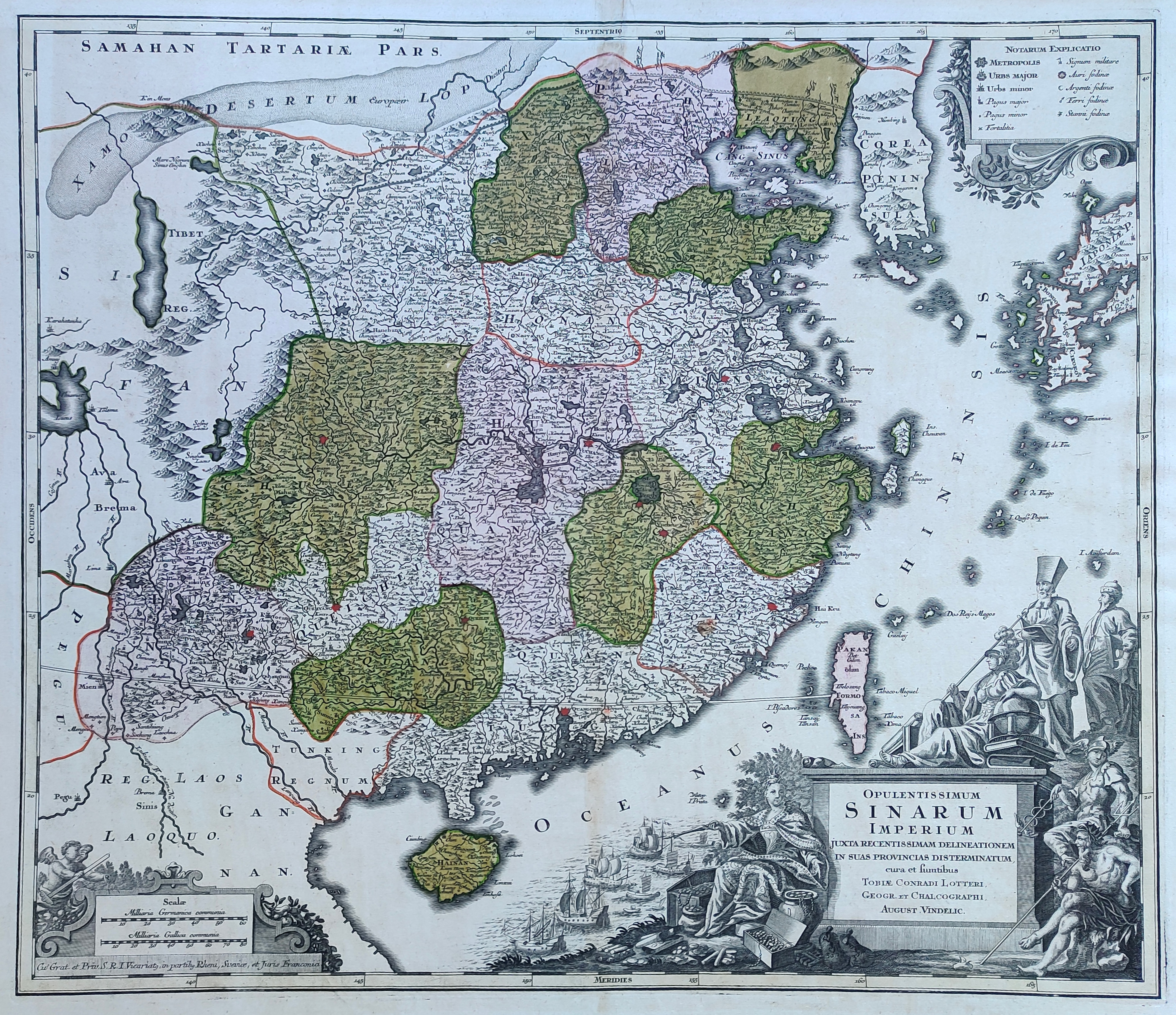
Map title
Opulentissimmun Sinarium Imperium
Author
Lotter
Location shown in map
China
Edition date
Circa 1770
Edition place
Augsburg
Editor
Atlas
Price
600 Euro
State
[mint/EXCELLENT/very good/good/fair/mediocre/poor]
Color
Old colors
Verso
Blank
Size
Plate: cm (57 x 50) inches (22.44 x 19.69) Paper: cm (68 x 55) inches (26.77 x 21.65)
Technique
Copper engraving
Note
Reference
--
Wiki
Here for more info
In stock
Available
Info
info@thetreasuremaps.com
Code
#1212
×
![]()
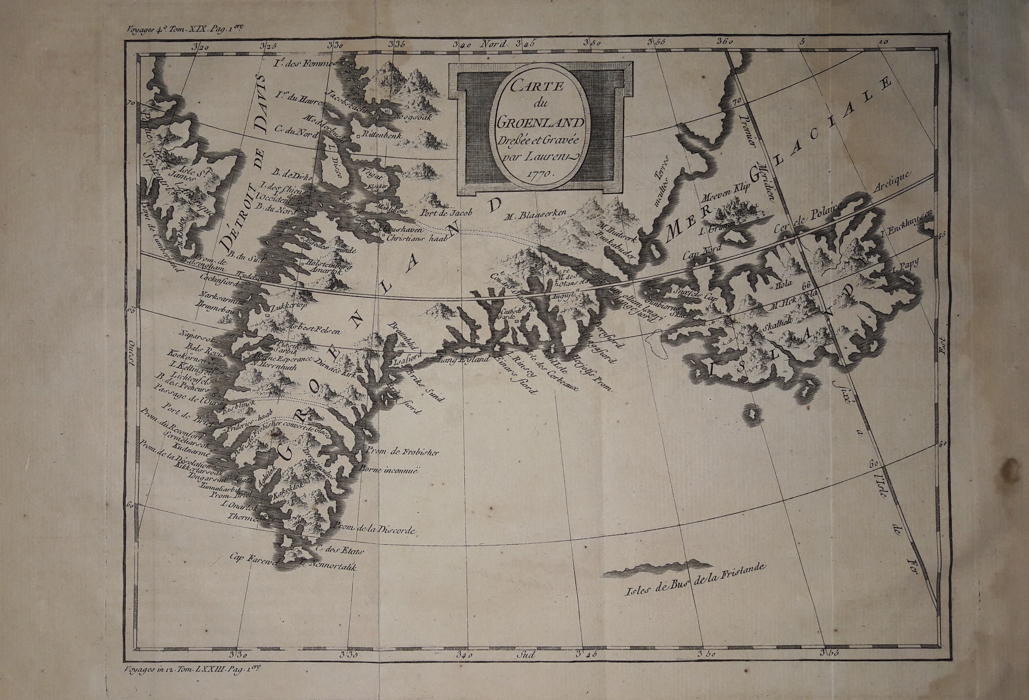
Map title
Carte du Groenland
Author
Bellin
Location shown in map
Greenland and Iceland
Edition date
1770
Edition place
Paris
Editor
--
Atlas
Historie General des Voyages -- Prevost
Price
150 Euro
State
[mint/EXCELLENT/very good/good/fair/mediocre/poor]
Color
Black/white
Verso
Blank
Size
Plate: cm (25 x 20) inches (9.84 x 7.87) Paper: cm (33 x 24) inches (12.99 x 9.45)
Technique
Copper engraving
Note
No particular notes for this maps
Reference
--
Wiki
Here for more info
In stock
Available
Info
info@thetreasuremaps.com
Code
#0632
×
![]()
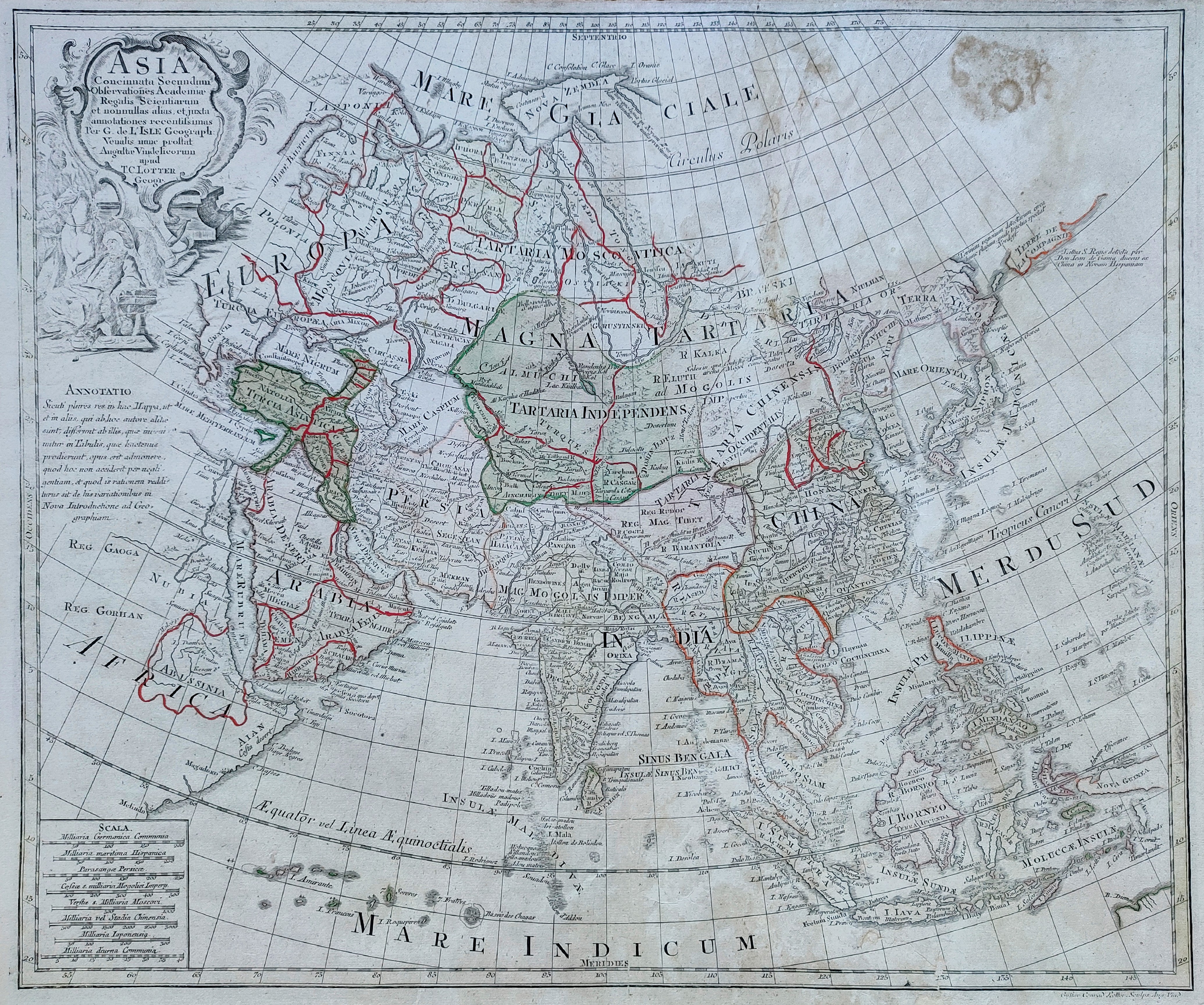
Map title
Asia
Author
Lotter
Location shown in map
Asia
Edition date
1770
Edition place
Ausburg
Editor
Atlas
Atlas novus sive tabulae geographice
Price
300 Euro
State
[mint/excellent/VERY GOOD/good/fair/mediocre/poor]
Color
Old colors
Verso
Blank
Size
Plate: cm (57 x 49) inches (22.44 x 19.29) Paper: cm (64 x 52) inches (25.2 x 20.47)
Technique
Copper engraving
Note
Reference
Wiki
Here for more info
In stock
Available
Info
info@thetreasuremaps.com
Code
#0849
Asia
Author
Lotter
Location shown in map
Asia
Edition date
1770
Edition place
Ausburg
Editor
Atlas
Atlas novus sive tabulae geographice
Price
300 Euro
State
[mint/excellent/VERY GOOD/good/fair/mediocre/poor]
Color
Old colors
Verso
Blank
Size
Plate: cm (57 x 49) inches (22.44 x 19.29) Paper: cm (64 x 52) inches (25.2 x 20.47)
Technique
Copper engraving
Note
Reference
Wiki
Here for more info
In stock
Available
Info
info@thetreasuremaps.com
Code
#0849
×
![]()
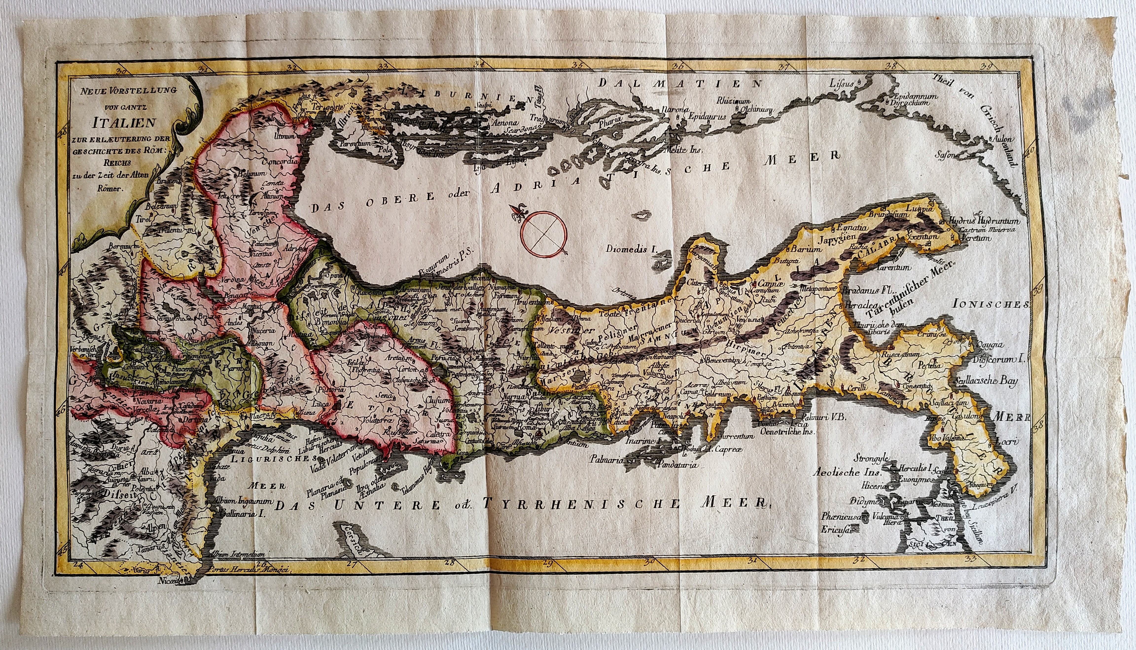
Map title
Neue Vorstellung von gantz Italien
Author
Location shown in map
Italy
Edition date
Circa 1770
Edition place
Editor
Atlas
Price
200 Euro
State
[mint/EXCELLENT/very good/good/fair/mediocre/poor]
Color
Old colors
Verso
Blank
Size
Plate: cm (43 x 24) inches (16.93 x 9.45) Paper: cm (48 x 27) inches (18.9 x 10.63)
Technique
Copper engraving
Note
Reference
Wiki
Here for more info
In stock
Available
Info
info@thetreasuremaps.com
Code
#0903
×
![]()
Map title
Italy
Author
Thomas Jefferys
Location shown in map
Italy
Edition date
1770
Edition place
London
Editor
Atlas
Price
125 Euro
State
[mint/EXCELLENT/very good/good/fair/mediocre/poor]
Color
Old colors
Verso
Blank
Size
Plate: cm (23 x 18) inches (9.06 x 7.09) Paper: cm (25 x 20) inches (9.84 x 7.87)
Technique
Copper engraving
Note
Reference
R.Borri L'Italia nelle antiche carte pag.233
Wiki
Here for more info
In stock
Available
Info
info@thetreasuremaps.com
Code
#1082
Italy
Author
Thomas Jefferys
Location shown in map
Italy
Edition date
1770
Edition place
London
Editor
Atlas
Price
125 Euro
State
[mint/EXCELLENT/very good/good/fair/mediocre/poor]
Color
Old colors
Verso
Blank
Size
Plate: cm (23 x 18) inches (9.06 x 7.09) Paper: cm (25 x 20) inches (9.84 x 7.87)
Technique
Copper engraving
Note
Reference
R.Borri L'Italia nelle antiche carte pag.233
Wiki
Here for more info
In stock
Available
Info
info@thetreasuremaps.com
Code
#1082
×
![]()
Map title
America Septentrionalis
Author
Lotter
Location shown in map
North America
Edition date
Circa 1770
Edition place
Augsburg
Editor
Atlas
Price
600 Euro
State
[mint/EXCELLENT/very good/good/fair/mediocre/poor]
Color
Old colors
Verso
Blank
Size
Plate: cm (59 x 45) inches (23.23 x 17.72) Paper: cm (74 x 59) inches (29.13 x 23.23)
Technique
Copper engraving
Note
Reference
--
Wiki
Here for more info
In stock
Available
Info
info@thetreasuremaps.com
Code
#1209
×
![]()

Map title
La France divisee suivant ses Provinces ou Gouvernements Militaire. Par le S.r Robert Vaugondy Geographe
Author
Robert de Vaugondy
Location shown in map
France
Edition date
1771
Edition place
Paris
Editor
Delamarche
Atlas
Atlas moderne. Seconde partie.
Price
Please ask: info@thetreasuremaps.com
State
[mint/excellent/VERY GOOD/good/fair/mediocre/poor]
Color
Old outlined
Verso
Blank
Size
Plate: cm (71 x 50) inches (27.95 x 19.69) Paper: cm (74 x 51) inches (29.13 x 20.08)
Technique
Copper engraving
Note
Reference
Wiki
Here for more info
In stock
Available
Info
info@thetreasuremaps.com
Code
#0772
×
![]()
Map title
Carte von neuen welt ...
Author
Buffon
Location shown in map
All America
Edition date
1771
Edition place
Berlin
Editor
Atlas
Price
150 Euro
State
[mint/EXCELLENT/very good/good/fair/mediocre/poor]
Color
Old colors
Verso
Blank
Size
Plate: cm (18 x 22) inches (7.09 x 8.66) Paper: cm (19 x 25) inches (7.48 x 9.84)
Technique
Copper engraving
Note
Reference
Wiki
Here for more info
In stock
Available
Info
info@thetreasuremaps.com
Code
#1242
×
![]()
Map title
Carte des nouvelles decouvertes
Author
Diderot
Location shown in map
North America
Edition date
1772
Edition place
Paris
Editor
--
Atlas
Encyclopedie -- De Vaugondy
Price
125 Euro
State
[mint/EXCELLENT/very good/good/fair/mediocre/poor]
Color
Black/white
Verso
Blank
Size
Plate: cm (40.6 x 31.8) inches (15.98 x 12.52) Paper: cm (50.8 x 40.6) inches (20 x 15.98)
Technique
Copper engraving
Note
No particular notes for this maps
Reference
--
Wiki
Here for more info
In stock
Available
Info
info@thetreasuremaps.com
Code
#0081
×
![]()
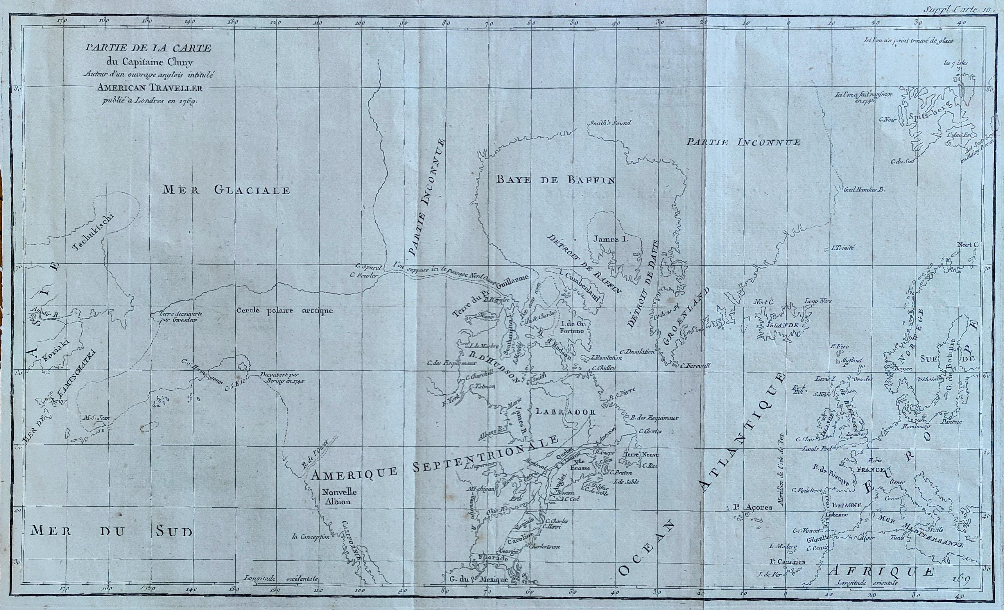
Map title
Partie de la carte du Capitaine Cluny
Author
Diderot
Location shown in map
North America
Edition date
1772
Edition place
Paris
Editor
Diderot
Atlas
Encyclopedie -- De Vaugondy
Price
250 Euro
State
[mint/EXCELLENT/very good/good/fair/mediocre/poor]
Color
Black/white
Verso
Blank
Size
Plate: cm (49.5 x 29.2) inches (19.49 x 11.5) Paper: cm (52 x 38) inches (20.47 x 14.96)
Technique
Copper engraving
Note
No particular notes for this maps
Reference
--
Wiki
Here for more info
In stock
Available
Info
info@thetreasuremaps.com
Code
#0082
×
![]()
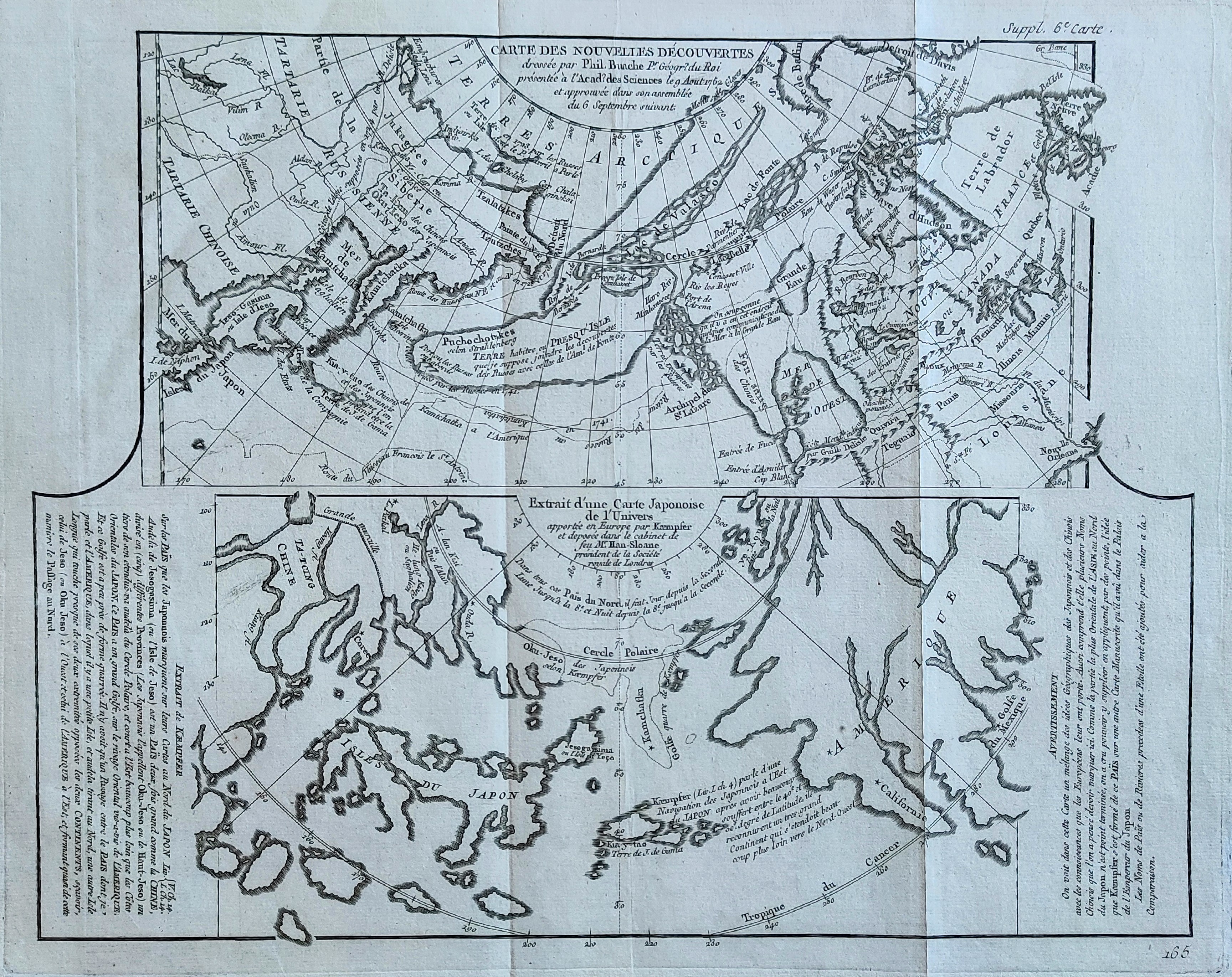
Map title
Carte des nouvelles decouvertes
Author
Diderot
Location shown in map
North America
Edition date
1772
Edition place
Paris
Editor
--
Atlas
Encyclopedie -- De Vaugondy
Price
125 Euro
State
[mint/EXCELLENT/very good/good/fair/mediocre/poor]
Color
Black/white
Verso
Blank
Size
Plate: cm (40.6 x 31.8) inches (15.98 x 12.52) Paper: cm (50.8 x 40.6) inches (20 x 15.98)
Technique
Copper engraving
Note
No particular notes for this maps
Reference
--
Wiki
Here for more info
In stock
Available
Info
info@thetreasuremaps.com
Code
#0910
×
![]()
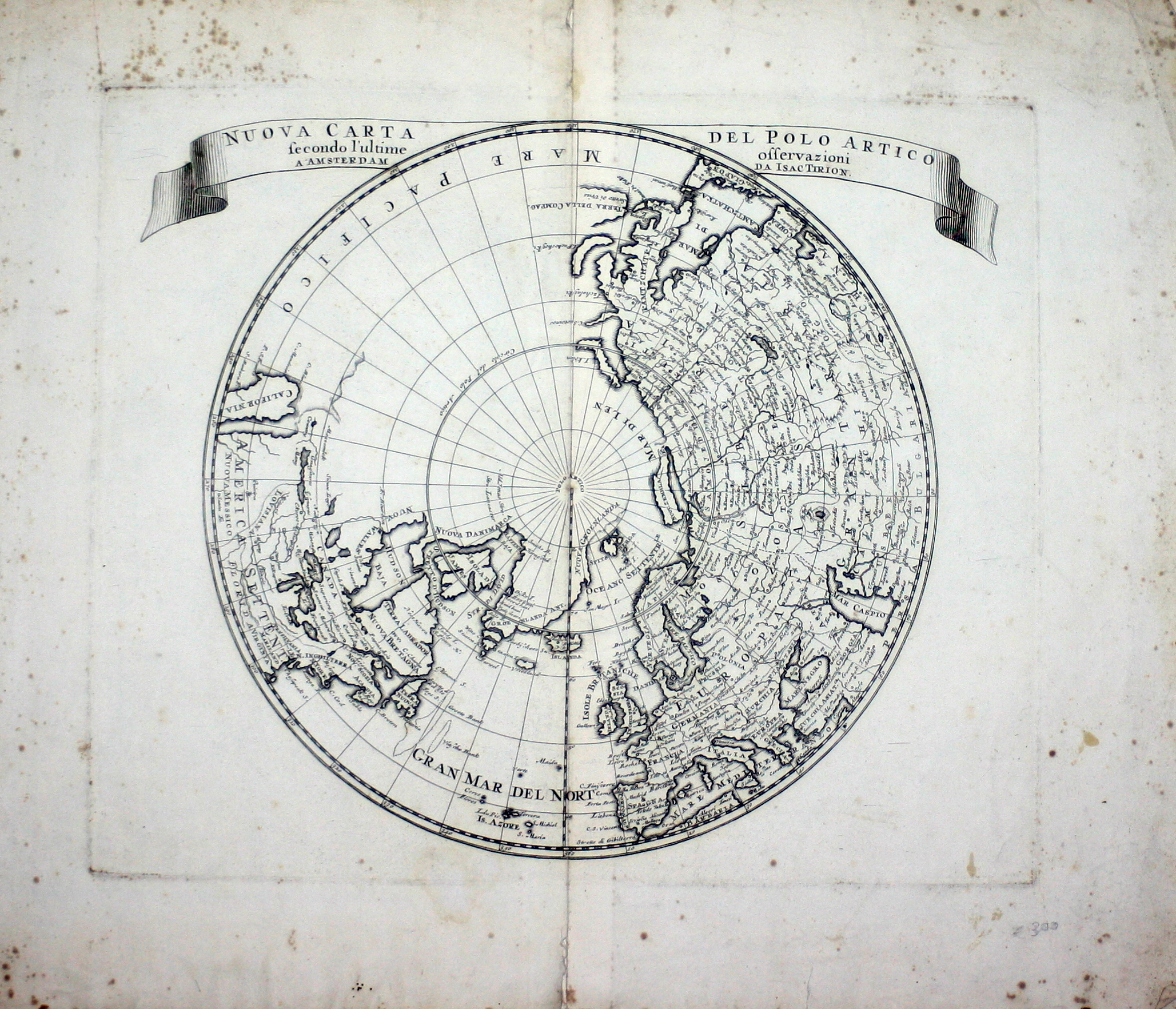
Map title
Nouvelle Representation Des Cotes Nord et Est De L'Asie, pour servir ... Articles du Supplement de l'Encyclopedie qui concerent le Passage aux Indes par le Nord … 1772
Author
Diderot
Location shown in map
Asia
Edition date
1772
Edition place
Paris
Editor
--
Atlas
Encyclopedie -- De Vaugondy
Price
100 Euro
State
[mint/EXCELLENT/very good/good/fair/mediocre/poor]
Color
Black/white
Verso
Blank
Size
Plate: cm (40.6 x 33) inches (15.98 x 12.99) Paper: cm (50.8 x 40.6) inches (20 x 15.98)
Technique
Copper engraving
Note
No particular notes for this maps
Reference
--
Wiki
Here for more info
In stock
Available
Info
info@thetreasuremaps.com
Code
#0274
×
![]()
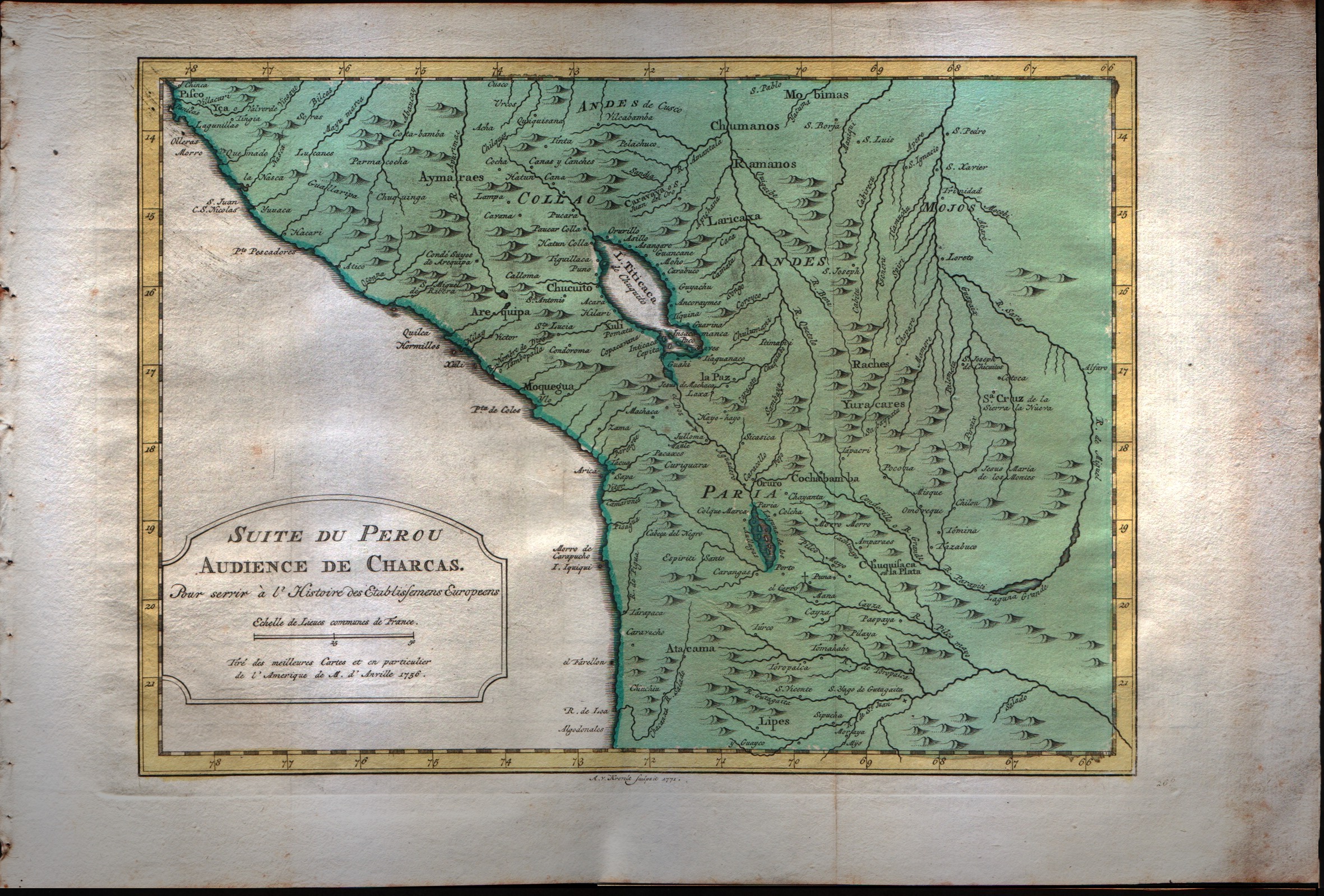
Map title
Suit du Perou audience de Charcas
Author
Bellin
Location shown in map
Peru
Edition date
1773
Edition place
Amsterdam
Editor
--
Atlas
Atlas Portatif -- E. van Harrevelt
Price
Please ask: info@thetreasuremaps.com
State
[mint/EXCELLENT/very good/good/fair/mediocre/poor]
Color
Old colors
Verso
Blank
Size
Plate: cm (30.5 x 21.6) inches (12.01 x 8.5) Paper: cm (38.1 x 26.7) inches (15 x 10.51)
Technique
Copper engraving
Note
No particular notes for this maps
Reference
--
Wiki
Here for more info
In stock
Available
Info
info@thetreasuremaps.com
Code
#0040
×
![]()
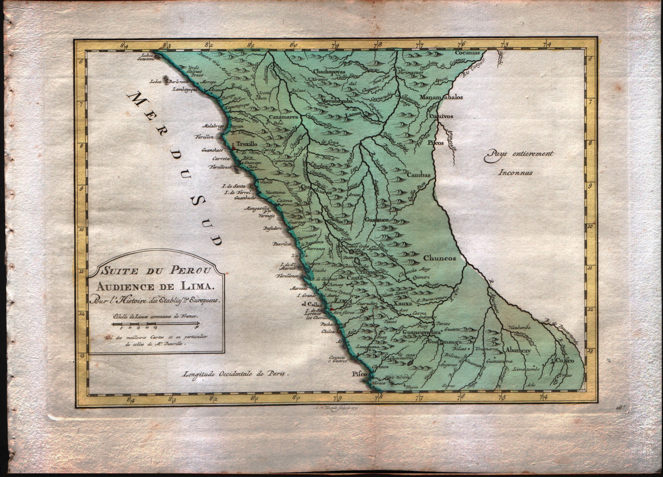
Map title
Suit du Perou audience de Lima
Author
Bellin
Location shown in map
Peru
Edition date
1773
Edition place
Amsterdam
Editor
--
Atlas
Atlas Portatif -- E. van Harrevelt
Price
Please ask: info@thetreasuremaps.com
State
[mint/EXCELLENT/very good/good/fair/mediocre/poor]
Color
Old colors
Verso
Blank
Size
Plate: cm (29.2 x 20.3) inches (11.5 x 7.99) Paper: cm (36.8 x 26.7) inches (14.49 x 10.51)
Technique
Copper engraving
Note
No particular notes for this maps
Reference
--
Wiki
Here for more info
In stock
Available
Info
info@thetreasuremaps.com
Code
#0041
×
![]()
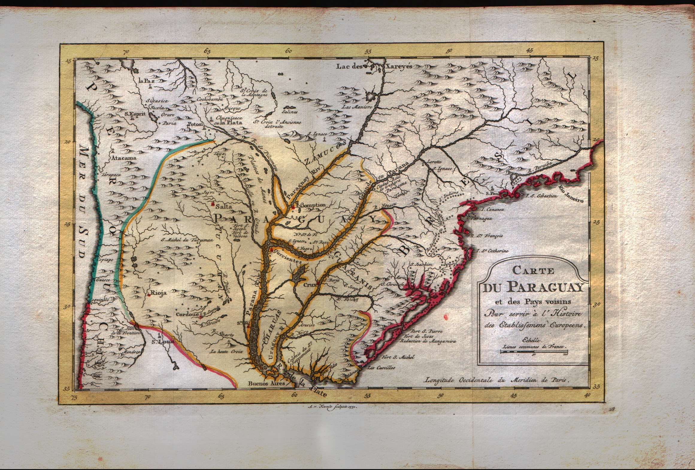
Map title
Carte du Paraguay et des pays voisins
Author
Bellin
Location shown in map
--
Edition date
1773
Edition place
Amsterdam
Editor
--
Atlas
Atlas Portatif -- E. van Harrevelt
Price
Please ask: info@thetreasuremaps.com
State
[mint/EXCELLENT/very good/good/fair/mediocre/poor]
Color
Old colors
Verso
Blank
Size
Plate: cm (30.5 x 20.3) inches (12.01 x 7.99) Paper: cm (39.4 x 26.7) inches (15.51 x 10.51)
Technique
Copper engraving
Note
No particular notes for this maps
Reference
--
Wiki
Here for more info
In stock
Available
Info
info@thetreasuremaps.com
Code
#0042
×
![]()
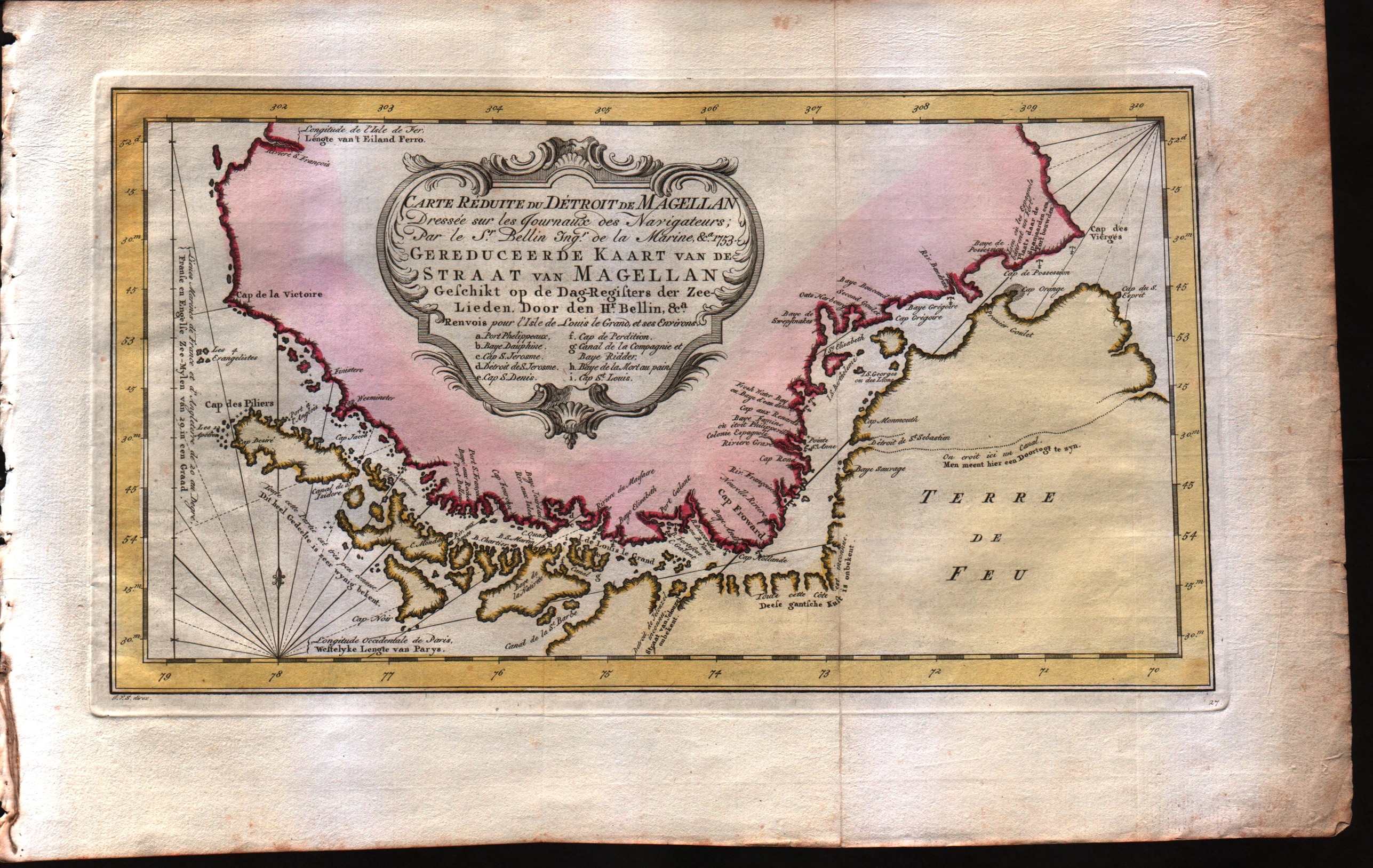
Map title
Carte reduite du detroit de Magellan dressee sur les jouraux des navigateurs
Author
Bellin
Location shown in map
Strait of Magellan
Edition date
1773
Edition place
Amsterdam
Editor
--
Atlas
Atlas Portatif -- E. van Harrevelt
Price
175 Euro
State
[mint/EXCELLENT/very good/good/fair/mediocre/poor]
Color
Old colors
Verso
Blank
Size
Plate: cm (34.3 x 19) inches (13.5 x 7.48) Paper: cm (40.6 x 26.7) inches (15.98 x 10.51)
Technique
Copper engraving
Note
No particular notes for this maps
Reference
--
Wiki
Here for more info
In stock
Available
Info
info@thetreasuremaps.com
Code
#0043
×
![]()
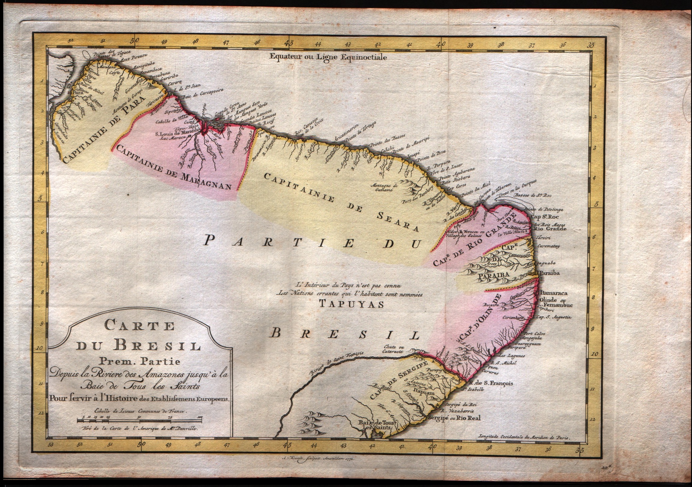
Map title
Carte du Bresil Prem.Partie
Author
Bellin
Location shown in map
--
Edition date
1773
Edition place
Amsterdam
Editor
--
Atlas
Atlas Portatif -- E. van Harrevelt
Price
150 Euro
State
[mint/EXCELLENT/very good/good/fair/mediocre/poor]
Color
Old colors
Verso
Blank
Size
Plate: cm (31.8 x 24.1) inches (12.52 x 9.49) Paper: cm (40.6 x 26.7) inches (15.98 x 10.51)
Technique
Copper engraving
Note
No particular notes for this maps
Reference
--
Wiki
Here for more info
In stock
Available
Info
info@thetreasuremaps.com
Code
#0044
×
![]()
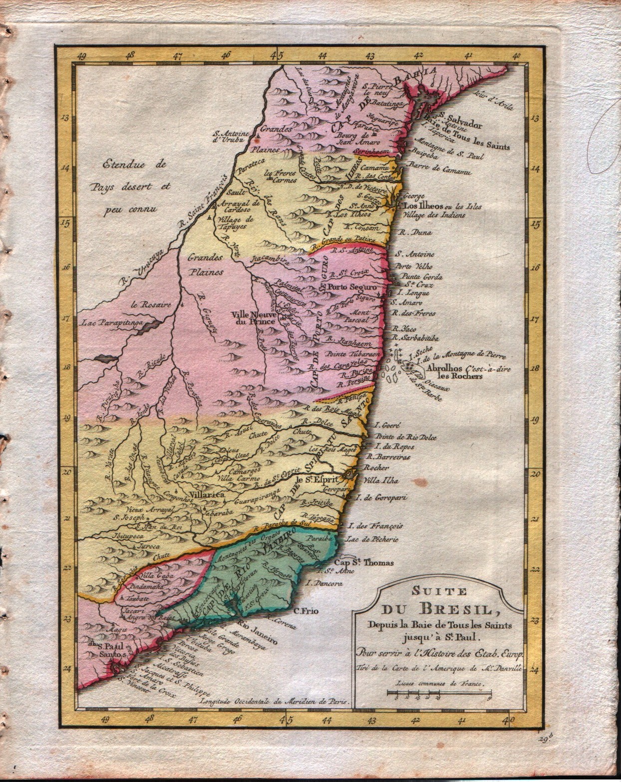
Map title
Carte du Bresil depuis la Baie de Tous les Saints jusqui St.Paul
Author
Bellin
Location shown in map
--
Edition date
1773
Edition place
Amsterdam
Editor
--
Atlas
Atlas Portatif -- E. van Harrevelt
Price
Please ask: info@thetreasuremaps.com
State
[mint/EXCELLENT/very good/good/fair/mediocre/poor]
Color
Old colors
Verso
Blank
Size
Plate: cm (16.5 x 22.9) inches (6.5 x 9.02) Paper: cm (21.6 x 26.7) inches (8.5 x 10.51)
Technique
Copper engraving
Note
No particular notes for this maps
Reference
--
Wiki
Here for more info
In stock
Available
Info
info@thetreasuremaps.com
Code
#0045
×
![]()
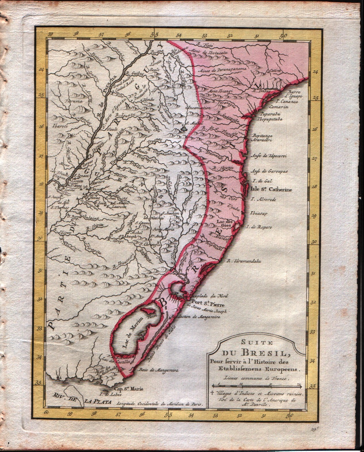
Map title
Carte du Bresil
Author
Bellin
Location shown in map
--
Edition date
1773
Edition place
Amsterdam
Editor
--
Atlas
Atlas Portatif -- E. van Harrevelt
Price
Please ask: info@thetreasuremaps.com
State
[mint/EXCELLENT/very good/good/fair/mediocre/poor]
Color
Old colors
Verso
Blank
Size
Plate: cm (16.5 x 22.9) inches (6.5 x 9.02) Paper: cm (21.6 x 26.7) inches (8.5 x 10.51)
Technique
Copper engraving
Note
No particular notes for this maps
Reference
--
Wiki
Here for more info
In stock
Available
Info
info@thetreasuremaps.com
Code
#0046
×
![]()
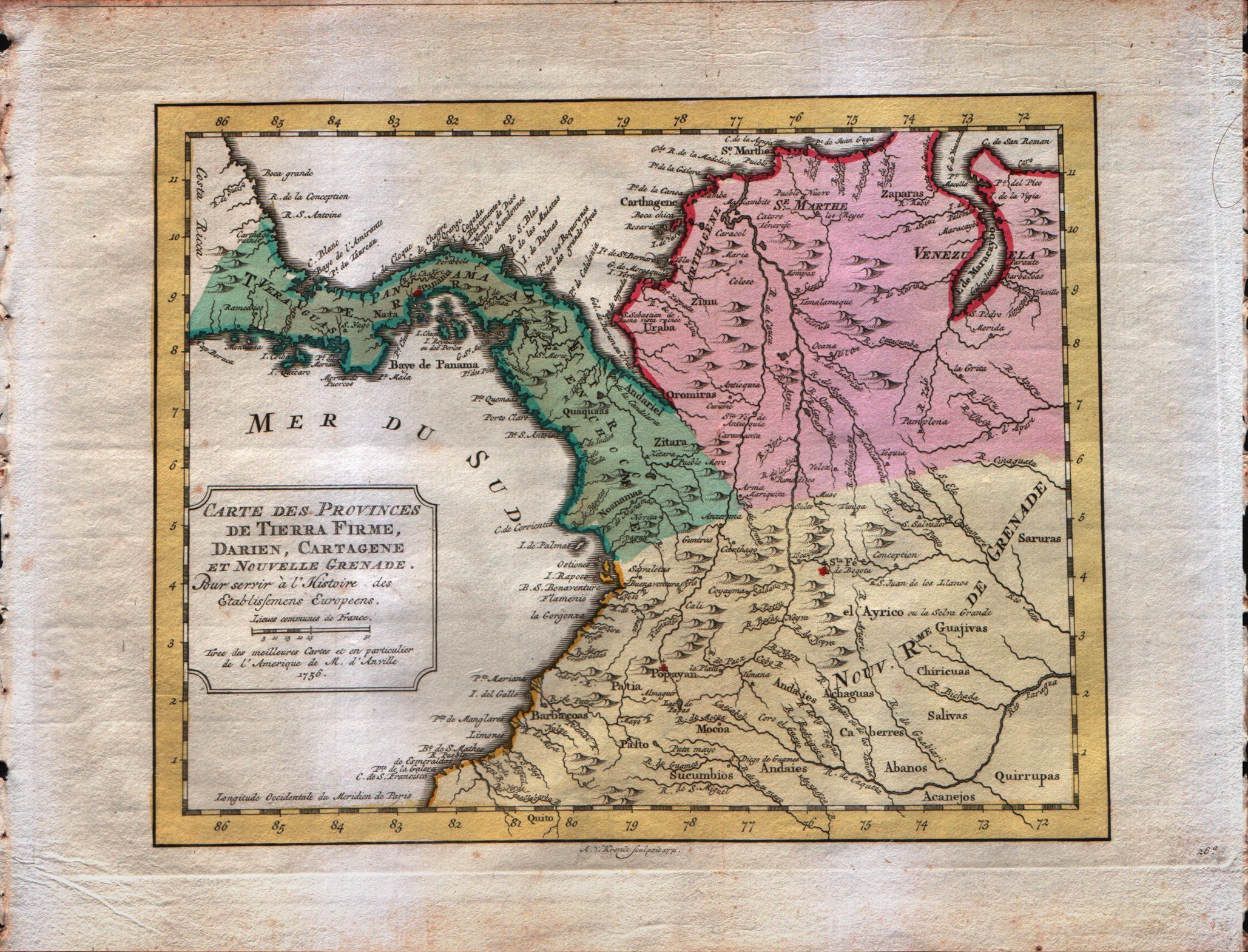
Map title
Carte des Provinces de Tierra Firme, Darien, Cartagene et Nouvelle Grenade
Author
Bellin
Location shown in map
--
Edition date
1773
Edition place
Amsterdam
Editor
--
Atlas
Atlas Portatif -- E. van Harrevelt
Price
Please ask: info@thetreasuremaps.com
State
[mint/EXCELLENT/very good/good/fair/mediocre/poor]
Color
Old colors
Verso
Blank
Size
Plate: cm (25.4 x 20.3) inches (10 x 7.99) Paper: cm (25.4 x 20.3) inches (10 x 7.99)
Technique
Copper engraving
Note
No particular notes for this maps
Reference
--
Wiki
Here for more info
In stock
Available
Info
info@thetreasuremaps.com
Code
#0047
×
![]()
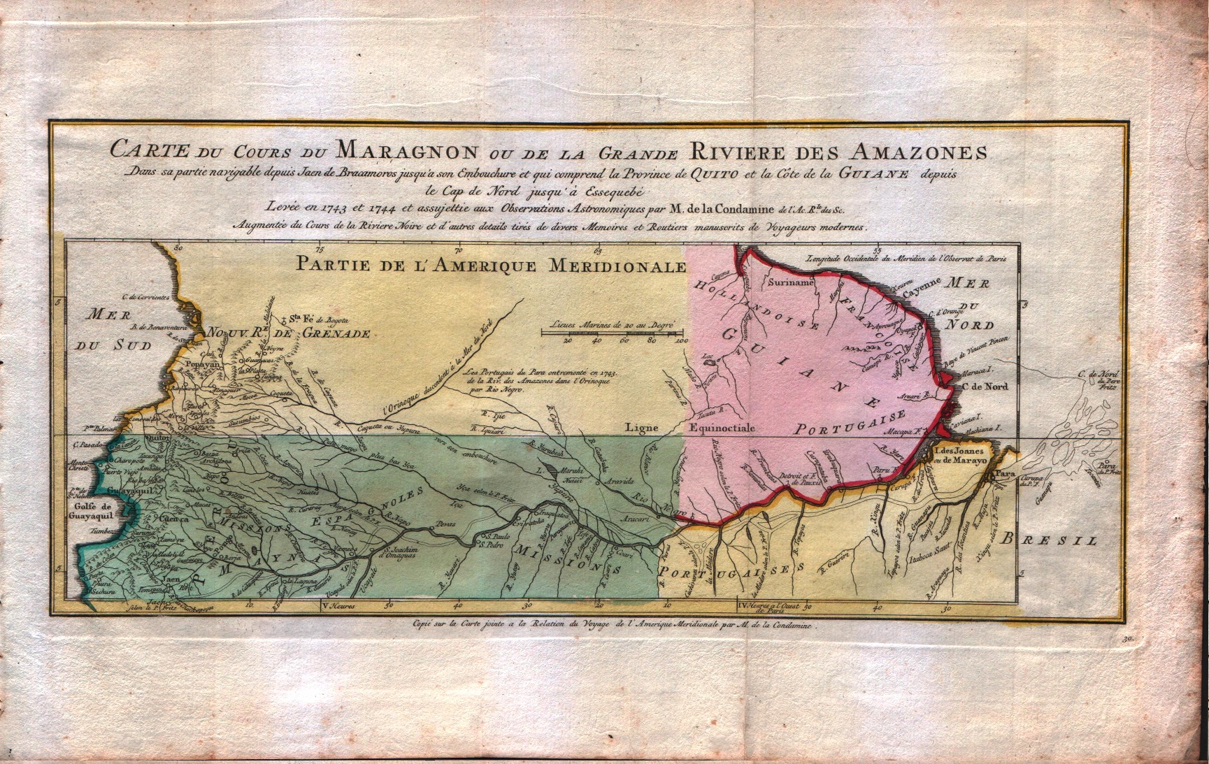
Map title
Carte du cours du Maragnon ou de la Grande Riviere des Amazones
Author
Bellin
Location shown in map
--
Edition date
1773
Edition place
Amsterdam
Editor
--
Atlas
Atlas Portatif -- E. van Harrevelt
Price
Please ask: info@thetreasuremaps.com
State
[mint/EXCELLENT/very good/good/fair/mediocre/poor]
Color
Old colors
Verso
Blank
Size
Plate: cm (36.8 x 17.8) inches (14.49 x 7.01) Paper: cm (41.9 x 26.7) inches (16.5 x 10.51)
Technique
Copper engraving
Note
No particular notes for this maps
Reference
--
Wiki
Here for more info
In stock
Available
Info
info@thetreasuremaps.com
Code
#0048
×
![]()
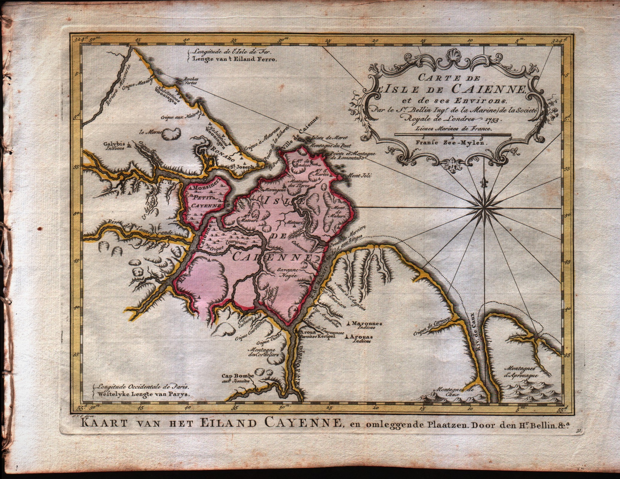
Map title
Carte de l'Isle de Caienne, et de ses Environs
Author
Bellin
Location shown in map
--
Edition date
1773
Edition place
Amsterdam
Editor
--
Atlas
Atlas Portatif -- E. van Harrevelt
Price
Please ask: info@thetreasuremaps.com
State
[mint/EXCELLENT/very good/good/fair/mediocre/poor]
Color
Old colors
Verso
Blank
Size
Plate: cm (27.9 x 21.6) inches (10.98 x 8.5) Paper: cm (36.8 x 26.7) inches (14.49 x 10.51)
Technique
Copper engraving
Note
No particular notes for this maps
Reference
--
Wiki
Here for more info
In stock
Available
Info
info@thetreasuremaps.com
Code
#0049
×
![]()
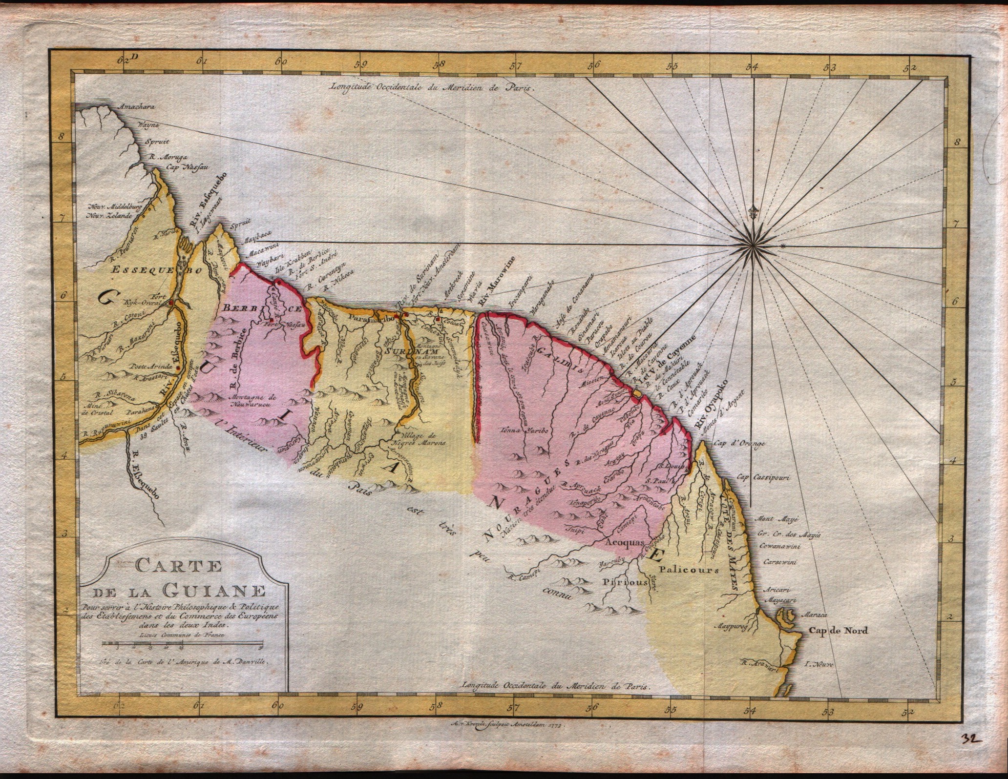
Map title
Carte de la Guiane
Author
Bellin
Location shown in map
--
Edition date
1773
Edition place
Amsterdam
Editor
--
Atlas
Atlas Portatif -- E. van Harrevelt
Price
Please ask: info@thetreasuremaps.com
State
[mint/EXCELLENT/very good/good/fair/mediocre/poor]
Color
Old colors
Verso
Blank
Size
Plate: cm (31.8 x 24.1) inches (12.52 x 9.49) Paper: cm (40.6 x 26.7) inches (15.98 x 10.51)
Technique
Copper engraving
Note
No particular notes for this maps
Reference
--
Wiki
Here for more info
In stock
Available
Info
info@thetreasuremaps.com
Code
#0050
×
![]()
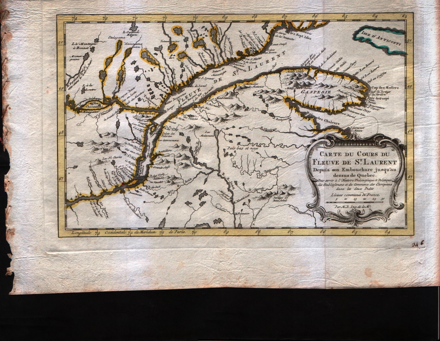
Map title
Carte du cours du Fleuve de S.Laurent depuis son embouchure jusqu'au dessus de Quebec
Author
Bellin
Location shown in map
--
Edition date
1773
Edition place
Amsterdam
Editor
--
Atlas
Atlas Portatif -- E. van Harrevelt
Price
150 Euro
State
[mint/EXCELLENT/very good/good/fair/mediocre/poor]
Color
Old colors
Verso
Blank
Size
Plate: cm (29.2 x 19) inches (11.5 x 7.48) Paper: cm (39.4 x 26.7) inches (15.51 x 10.51)
Technique
Copper engraving
Note
No particular notes for this maps
Reference
--
Wiki
Here for more info
In stock
Available
Info
info@thetreasuremaps.com
Code
#0070
×
![]()
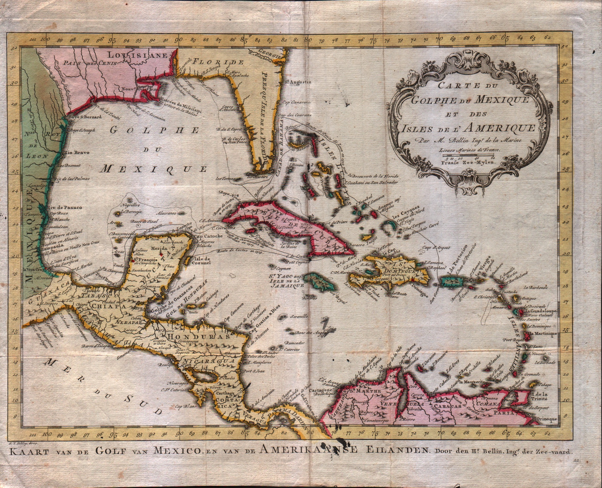
Map title
Carte du Golphe du Mexique et des Isles de l'Amerique
Author
Bellin
Location shown in map
--
Edition date
1773
Edition place
Amsterdam
Editor
--
Atlas
Atlas Portatif -- E. van Harrevelt
Price
275 Euro
State
[mint/EXCELLENT/very good/good/fair/mediocre/poor]
Color
Old colors
Verso
Blank
Size
Plate: cm (36.8 x 26.7) inches (14.49 x 10.51) Paper: cm (39.4 x 31.8) inches (15.51 x 12.52)
Technique
Copper engraving
Note
No particular notes for this maps
Reference
--
Wiki
Here for more info
In stock
Available
Info
info@thetreasuremaps.com
Code
#0071
×
![]()
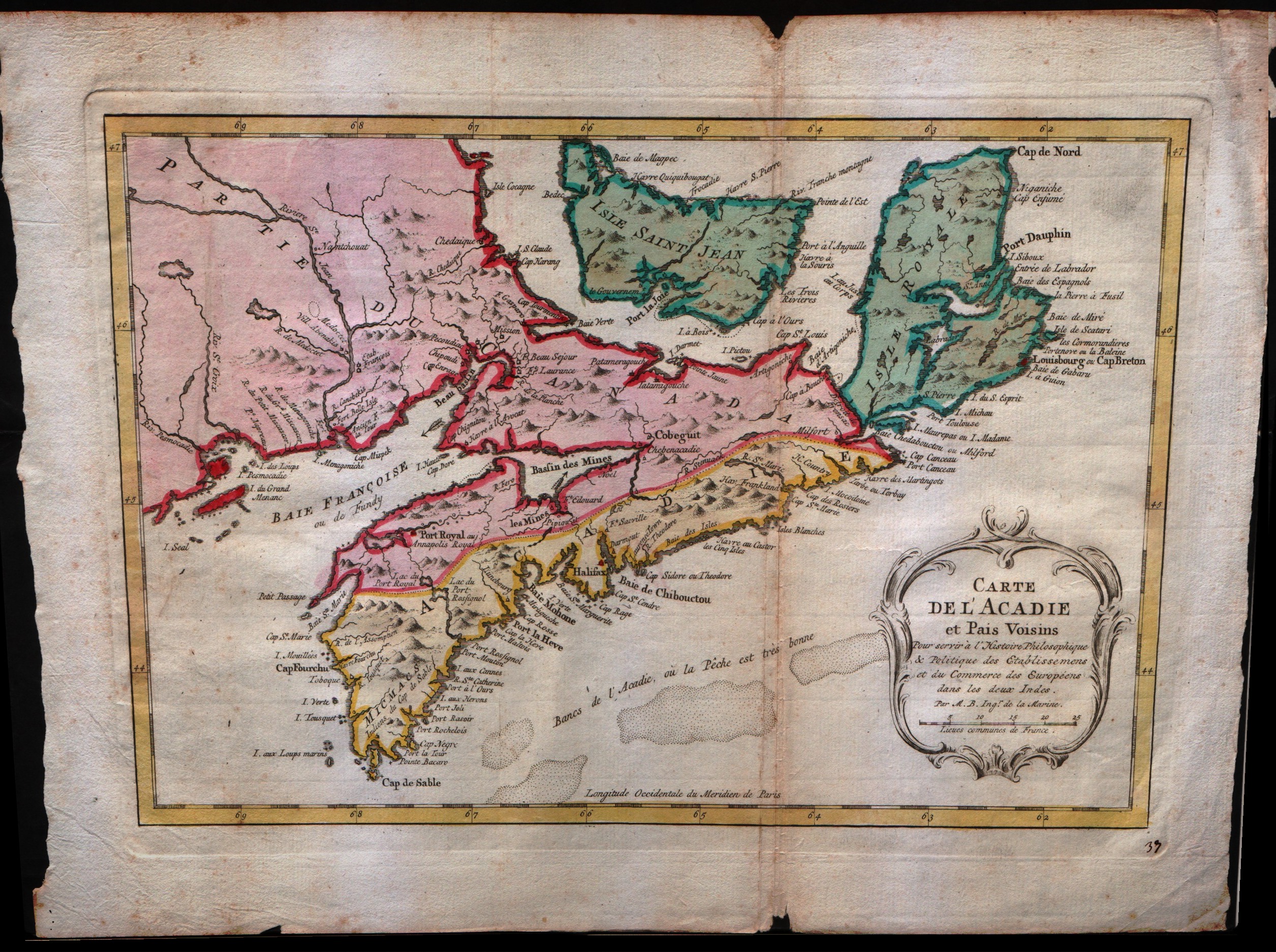
Map title
Carte de l'Acadie et pais voisins
Author
Bellin
Location shown in map
--
Edition date
1773
Edition place
Amsterdam
Editor
--
Atlas
Atlas Portatif -- E. van Harrevelt
Price
200 Euro
State
[mint/excellent/VERY GOOD/good/fair/mediocre/poor]
Color
Old colors
Verso
Blank
Size
Plate: cm (31.8 x 20.3) inches (12.52 x 7.99) Paper: cm (38.1 x 26.7) inches (15 x 10.51)
Technique
Copper engraving
Note
No particular notes for this maps
Reference
--
Wiki
Here for more info
In stock
Available
Info
info@thetreasuremaps.com
Code
#0072
×
![]()
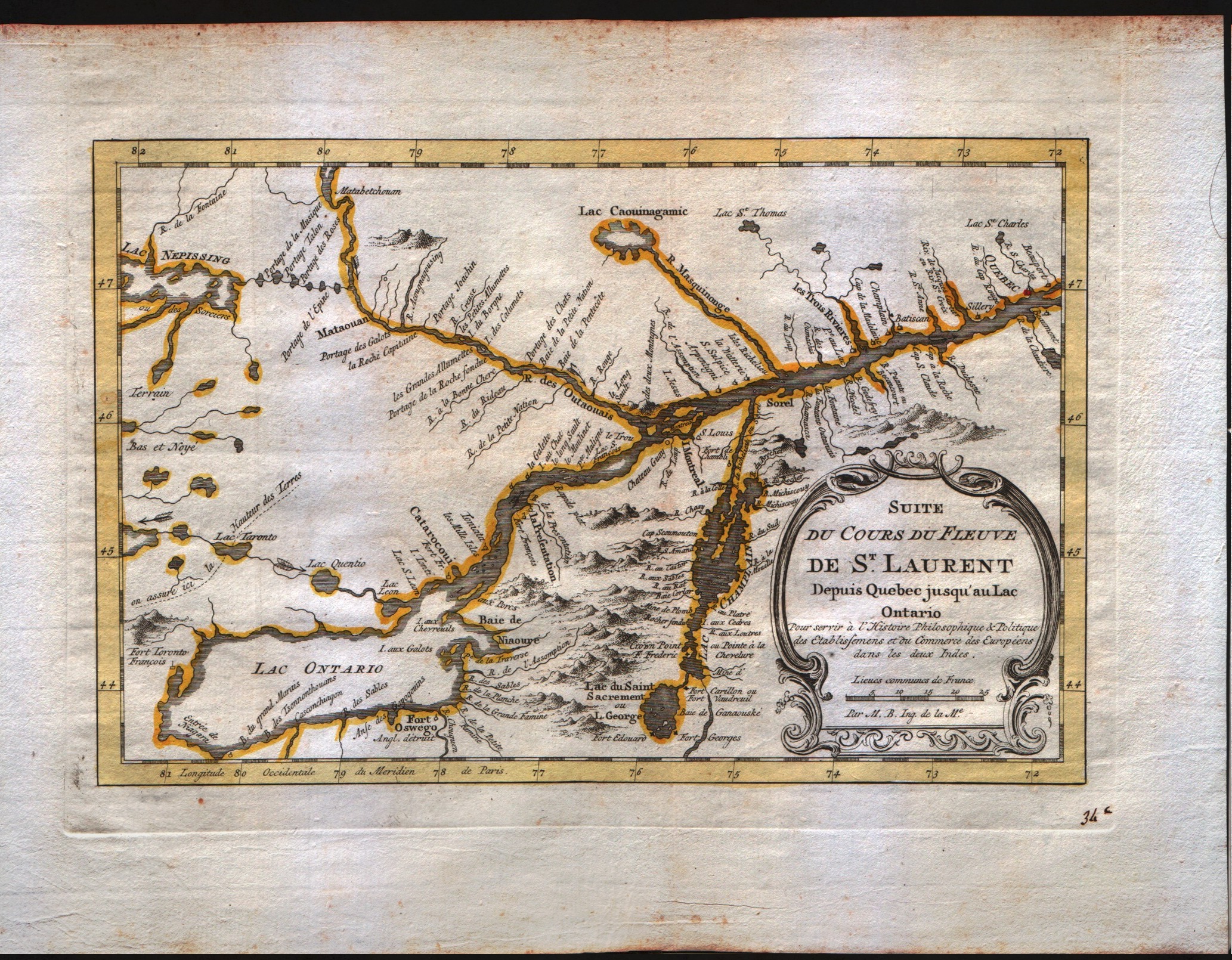
Map title
Suite du cours du Fleuve de S.Laurent depuis Quebec jusqu'au Lac Ontario
Author
Bellin
Location shown in map
--
Edition date
1773
Edition place
Amsterdam
Editor
--
Atlas
Atlas Portatif -- E. van Harrevelt
Price
200 Euro
State
[mint/EXCELLENT/very good/good/fair/mediocre/poor]
Color
Old colors
Verso
Blank
Size
Plate: cm (27.9 x 17.8) inches (10.98 x 7.01) Paper: cm (35.6 x 26.7) inches (14.02 x 10.51)
Technique
Copper engraving
Note
No particular notes for this maps
Reference
--
Wiki
Here for more info
In stock
Available
Info
info@thetreasuremaps.com
Code
#0073
×
![]()
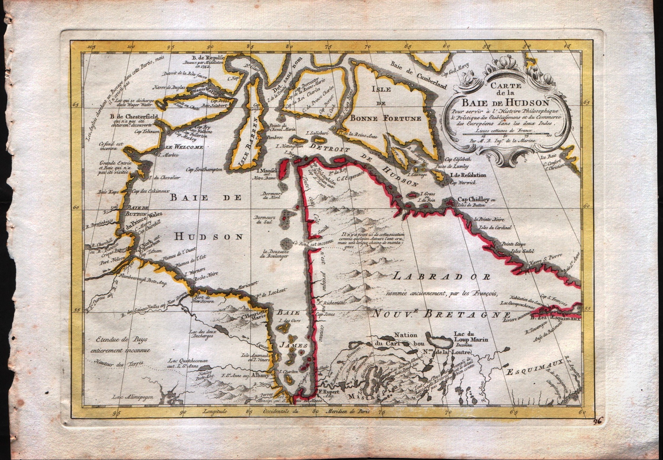
Map title
Carte de la baie de Hudson
Author
Bellin
Location shown in map
--
Edition date
1773
Edition place
Amsterdam
Editor
--
Atlas
Atlas Portatif -- E. van Harrevelt
Price
175 Euro
State
[mint/EXCELLENT/very good/good/fair/mediocre/poor]
Color
Old colors
Verso
Blank
Size
Plate: cm (29.2 x 21.6) inches (11.5 x 8.5) Paper: cm (36.8 x 26.7) inches (14.49 x 10.51)
Technique
Copper engraving
Note
No particular notes for this maps
Reference
--
Wiki
Here for more info
In stock
Available
Info
info@thetreasuremaps.com
Code
#0074
×
![]()
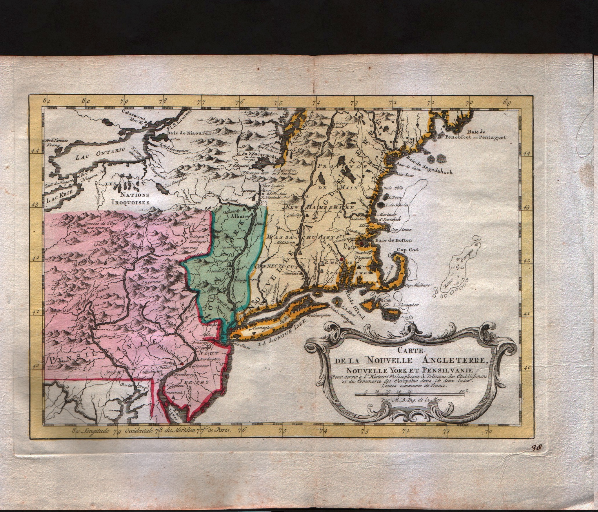
Map title
Carte de la nouvelle Angleterre
Author
Bellin
Location shown in map
--
Edition date
1773
Edition place
Amsterdam
Editor
--
Atlas
Atlas Portatif -- E. van Harrevelt
Price
300 Euro
State
[mint/EXCELLENT/very good/good/fair/mediocre/poor]
Color
Old colors
Verso
Blank
Size
Plate: cm (29.2 x 20.3) inches (11.5 x 7.99) Paper: cm (36.8 x 26.7) inches (14.49 x 10.51)
Technique
Copper engraving
Note
The New England colonies are named except Vermont which is still the unnamed disputed territory between New Hampshire and New York. The area covered as a whole extends from Penobscot Bay south to Chesapeake Bay and west to Lake Erie. The map illustrates provinces, towns, forts, rivers, Native American lands and relief.
Reference
--
Wiki
Here for more info
In stock
Sold
Info
info@thetreasuremaps.com
Code
#0075
×
![]()
Map title
Carte de la Louisiane
Author
Bellin
Location shown in map
Louisiane
Edition date
1773
Edition place
Amsterdam
Editor
--
Atlas
Atlas Portatif -- E. van Harrevelt
Price
350 Euro
State
[mint/EXCELLENT/very good/good/fair/mediocre/poor]
Color
Old colors
Verso
Blank
Size
Plate: cm (30.5 x 21.6) inches (12.01 x 8.5) Paper: cm (39.4 x 26.7) inches (15.51 x 10.51)
Technique
Copper engraving
Note
Bellin notes all major river systems, especially the Mississippi system upon which their claims rested, and many of the French forts, including Detroit, Fort Duquesne (Pittsburgh), Fort de la Presque Isle (Erie), Sandoske, and Fort Checagou.
Reference
--
Wiki
Here for more info
In stock
Sold
Info
info@thetreasuremaps.com
Code
#0076
×
![]()
Map title
Carte des lacs du Canada
Author
Bellin
Location shown in map
--
Edition date
1773
Edition place
Amsterdam
Editor
--
Atlas
Atlas Portatif -- E. van Harrevelt
Price
350 Euro
State
[mint/EXCELLENT/very good/good/fair/mediocre/poor]
Color
Old colors
Verso
Blank
Size
Plate: cm (27.9 x 19) inches (10.98 x 7.48) Paper: cm (39.4 x 26.7) inches (15.51 x 10.51)
Technique
Copper engraving
Note
Bellin's map has the five lakes in an appropriate scale and with the names that we know today.
Reference
--
Wiki
Here for more info
In stock
Sold
Info
info@thetreasuremaps.com
Code
#0077
×
![]()
Map title
Carte de la Virginie et du Maryland.
Author
Bellin
Location shown in map
Virginie Meryland
Edition date
1773
Edition place
Amsterdam
Editor
--
Atlas
Atlas Portatif -- E. van Harrevelt
Price
350 Euro
State
[mint/EXCELLENT/very good/good/fair/mediocre/poor]
Color
Old colors
Verso
Blank
Size
Plate: cm (27.9 x 19) inches (10.98 x 7.48) Paper: cm (34.3 x 26.7) inches (13.5 x 10.51)
Technique
Copper engraving
Note
Same as Carte de la baye de Chesapeack et Pays Voisins
Reference
--
Wiki
Here for more info
In stock
Sold
Info
info@thetreasuremaps.com
Code
#0078
×
![]()
Map title
Carte de la Caroline et Georgie.
Author
Bellin
Location shown in map
--
Edition date
1773
Edition place
Amsterdam
Editor
--
Atlas
Atlas Portatif -- E. van Harrevelt
Price
Please ask: info@thetreasuremaps.com
State
[mint/EXCELLENT/very good/good/fair/mediocre/poor], wide margins
Color
Old colors
Verso
Blank
Size
Plate: cm (27.9 x 19) inches (10.98 x 7.48) Paper: cm (35.6 x 26.7) inches (14.02 x 10.51)
Technique
Copper engraving
Note
No particular notes for this maps
Reference
--
Wiki
Here for more info
In stock
Sold
Info
info@thetreasuremaps.com
Code
#0079
×
![]()
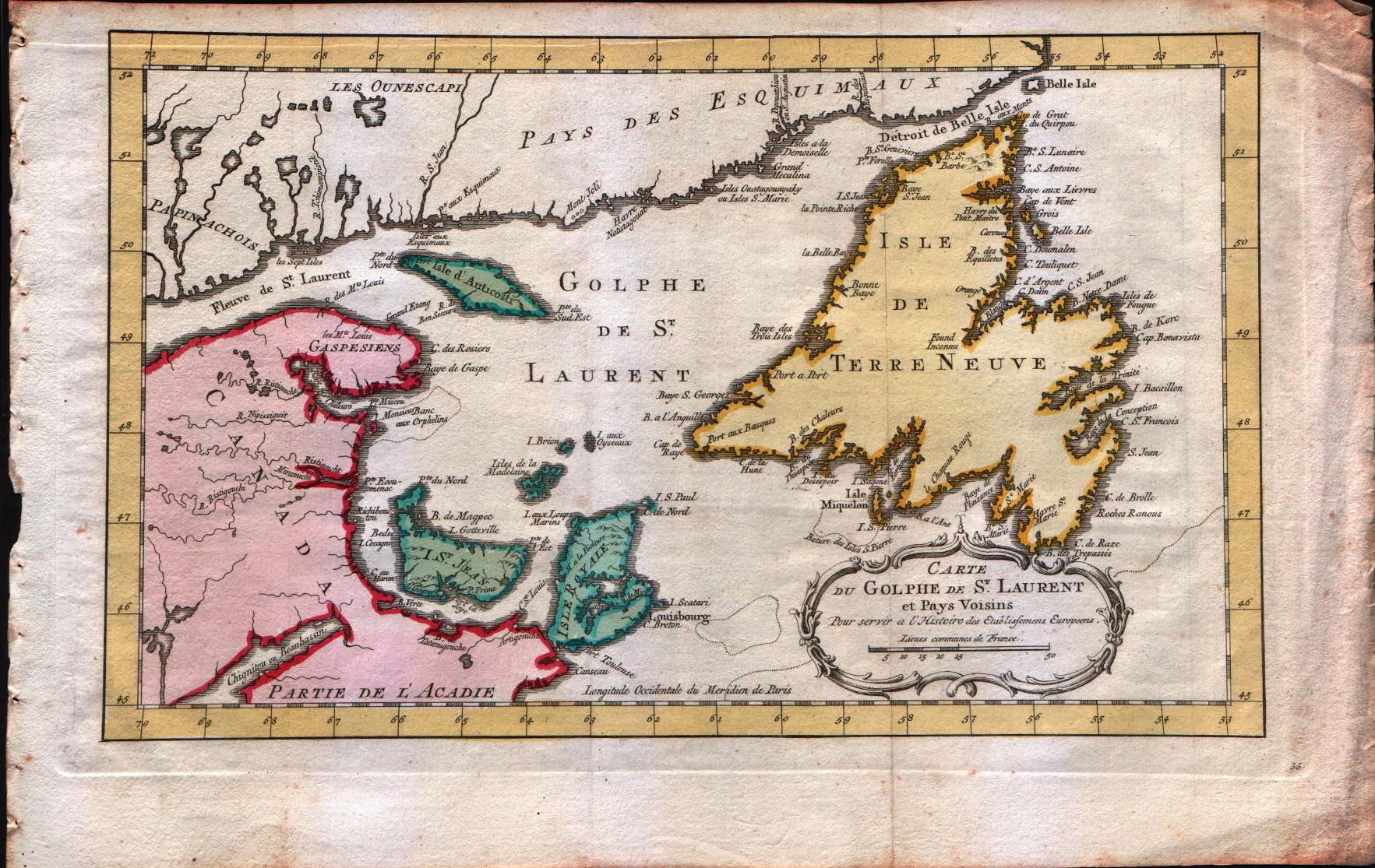
Map title
Carte du golphe de S.Laurent et pays voisins
Author
Bellin
Location shown in map
--
Edition date
1773
Edition place
Amsterdam
Editor
--
Atlas
Atlas Portatif -- E. van Harrevelt
Price
150 Euro
State
[mint/EXCELLENT/very good/good/fair/mediocre/poor]
Color
Old colors
Verso
Blank
Size
Plate: cm (34.3 x 21.6) inches (13.5 x 8.5) Paper: cm (41.9 x 26.7) inches (16.5 x 10.51)
Technique
Copper engraving
Note
No particular notes for this maps
Reference
--
Wiki
Here for more info
In stock
Available
Info
info@thetreasuremaps.com
Code
#0080
×
![]()
Map title
Carte de l'isles de Madere et Porto Santo
Author
Bellin
Location shown in map
Madeira island
Edition date
1773
Edition place
Amsterdam
Editor
--
Atlas
Atlas Portatif -- E. van Harrevelt
Price
100 Euro
State
[mint/EXCELLENT/very good/good/fair/mediocre/poor]
Color
Old colors
Verso
Blank
Size
Plate: cm (21.6 x 15.2) inches (8.5 x 5.98) Paper: cm (26.7 x 21.6) inches (10.51 x 8.5)
Technique
Copper engraving
Note
No particular notes for this maps
Reference
--
Wiki
Here for more info
In stock
Available
Info
info@thetreasuremaps.com
Code
#0164
×
![]()
Map title
Carte des Isles Philippines Celebes et Moluques
Author
Bellin
Location shown in map
Philippines
Edition date
1773
Edition place
Amsterdam
Editor
--
Atlas
Atlas Portatif -- E. van Harrevelt
Price
200 Euro
State
[mint/EXCELLENT/very good/good/fair/mediocre/poor]
Color
Old outlined
Verso
Blank
Size
Plate: cm (15.2 x 21.6) inches (5.98 x 8.5) Paper: cm (21.6 x 26.7) inches (8.5 x 10.51)
Technique
Copper engraving
Note
No particular notes for this maps
Reference
--
Wiki
Here for more info
In stock
Available
Info
info@thetreasuremaps.com
Code
#0259
×
![]()
Map title
Carte particulier des Isles Moluques
Author
Bellin
Location shown in map
--
Edition date
1773
Edition place
Amsterdam
Editor
--
Atlas
Atlas Portatif -- E. van Harrevelt
Price
Please ask: info@thetreasuremaps.com
State
[mint/EXCELLENT/very good/good/fair/mediocre/poor]
Color
Old colors
Verso
Blank
Size
Plate: cm (15.2 x 21.6) inches (5.98 x 8.5) Paper: cm (21.6 x 26.7) inches (8.5 x 10.51)
Technique
Copper engraving
Note
No particular notes for this maps
Reference
--
Wiki
Here for more info
In stock
Available
Info
info@thetreasuremaps.com
Code
#0260
×
![]()
Map title
Carte des Isles Maldives
Author
Bellin
Location shown in map
--
Edition date
1773
Edition place
Amsterdam
Editor
--
Atlas
Atlas Portatif -- E. van Harrevelt
Price
Please ask: info@thetreasuremaps.com
State
[mint/EXCELLENT/very good/good/fair/mediocre/poor]
Color
Old outlined
Verso
Blank
Size
Plate: cm (15.2 x 21.6) inches (5.98 x 8.5) Paper: cm (21.6 x 26.7) inches (8.5 x 10.51)
Technique
Copper engraving
Note
No particular notes for this maps
Reference
--
Wiki
Here for more info
In stock
Sold
Info
info@thetreasuremaps.com
Code
#0261
×
![]()
Map title
Nouvelle carte de l'isle de Java
Author
Unknown
Location shown in map
--
Edition date
1773
Edition place
Amsterdam
Editor
--
Atlas
Atlas Portatif -- E. van Harrevelt
Price
Please ask: info@thetreasuremaps.com
State
[mint/EXCELLENT/very good/good/fair/mediocre/poor]
Color
Old colors
Verso
Blank
Size
Plate: cm (43.2 x 20.3) inches (17.01 x 7.99) Paper: cm (53.3 x 26.7) inches (20.98 x 10.51)
Technique
Copper engraving
Note
No particular notes for this maps
Reference
--
Wiki
Here for more info
In stock
Available
Info
info@thetreasuremaps.com
Code
#0262
×
![]()
Map title
Carte des royaumes de Siam de Tunquin, Pegu, Ava, Aracan
Author
Bellin
Location shown in map
--
Edition date
1773
Edition place
Amsterdam
Editor
--
Atlas
Atlas Portatif -- E. van Harrevelt
Price
250 Euro
State
[mint/EXCELLENT/very good/good/fair/mediocre/poor]
Color
Old colors
Verso
Blank
Size
Plate: cm (27.9 x 27.9) inches (10.98 x 10.98) Paper: cm (35.6 x 31.8) inches (14.02 x 12.52)
Technique
Copper engraving
Note
No particular notes for this maps
Reference
--
Wiki
Here for more info
In stock
Available
Info
info@thetreasuremaps.com
Code
#0263
×
![]()
Map title
Nouvelle carte du royaume de Bengale
Author
Bellin
Location shown in map
--
Edition date
1773
Edition place
Amsterdam
Editor
--
Atlas
Atlas Portatif -- E. van Harrevelt
Price
150 Euro
State
[mint/EXCELLENT/very good/good/fair/mediocre/poor]
Color
Old colors
Verso
Blank
Size
Plate: cm (33 x 27.9) inches (12.99 x 10.98) Paper: cm (45.7 x 35.6) inches (17.99 x 14.02)
Technique
Copper engraving
Note
No particular notes for this maps
Reference
--
Wiki
Here for more info
In stock
Available
Info
info@thetreasuremaps.com
Code
#0264
×
![]()
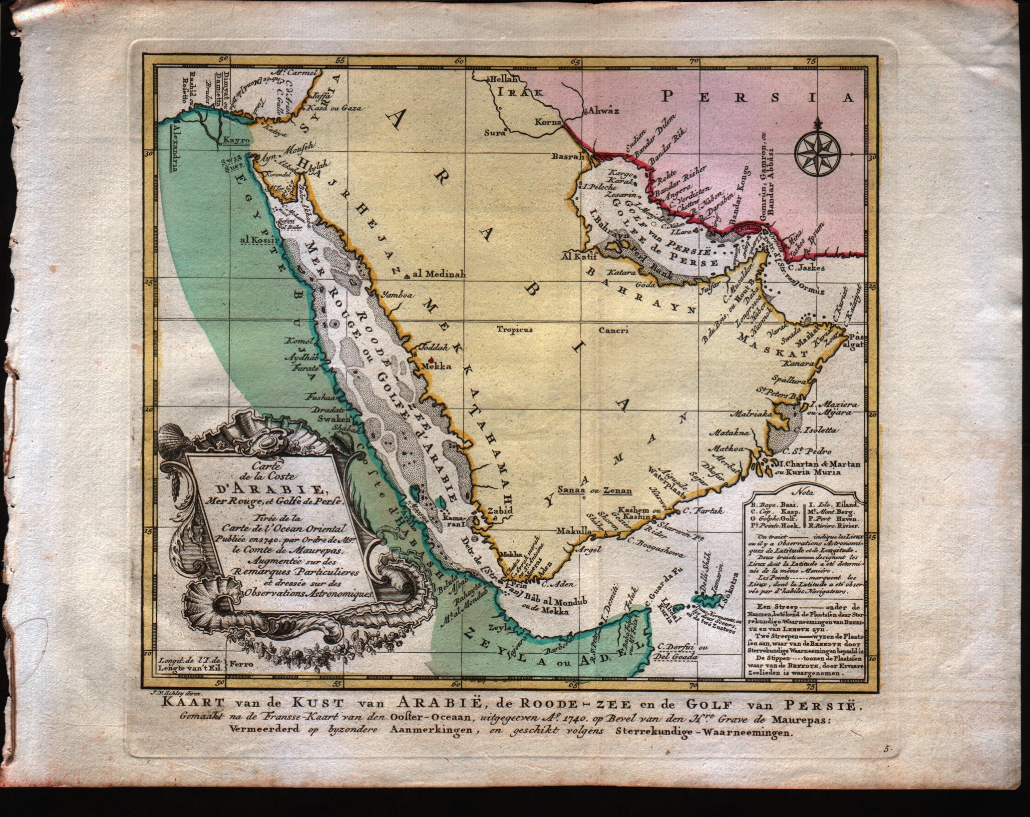
Map title
Carte de la coste d'Arabie Mer Rouge et Golfe de Perse
Author
Bellin
Location shown in map
Arabia
Edition date
1773
Edition place
Amsterdam
Editor
--
Atlas
Atlas Portatif -- E. van Harrevelt
Price
300 Euro
State
[mint/EXCELLENT/very good/good/fair/mediocre/poor]
Color
Old colors
Verso
Blank
Size
Plate: cm (25.4 x 21.6) inches (10 x 8.5) Paper: cm (34.3 x 26.7) inches (13.5 x 10.51)
Technique
Copper engraving
Note
No particular notes for this maps
Reference
--
Wiki
Here for more info
In stock
Sold
Info
info@thetreasuremaps.com
Code
#0265
×
![]()
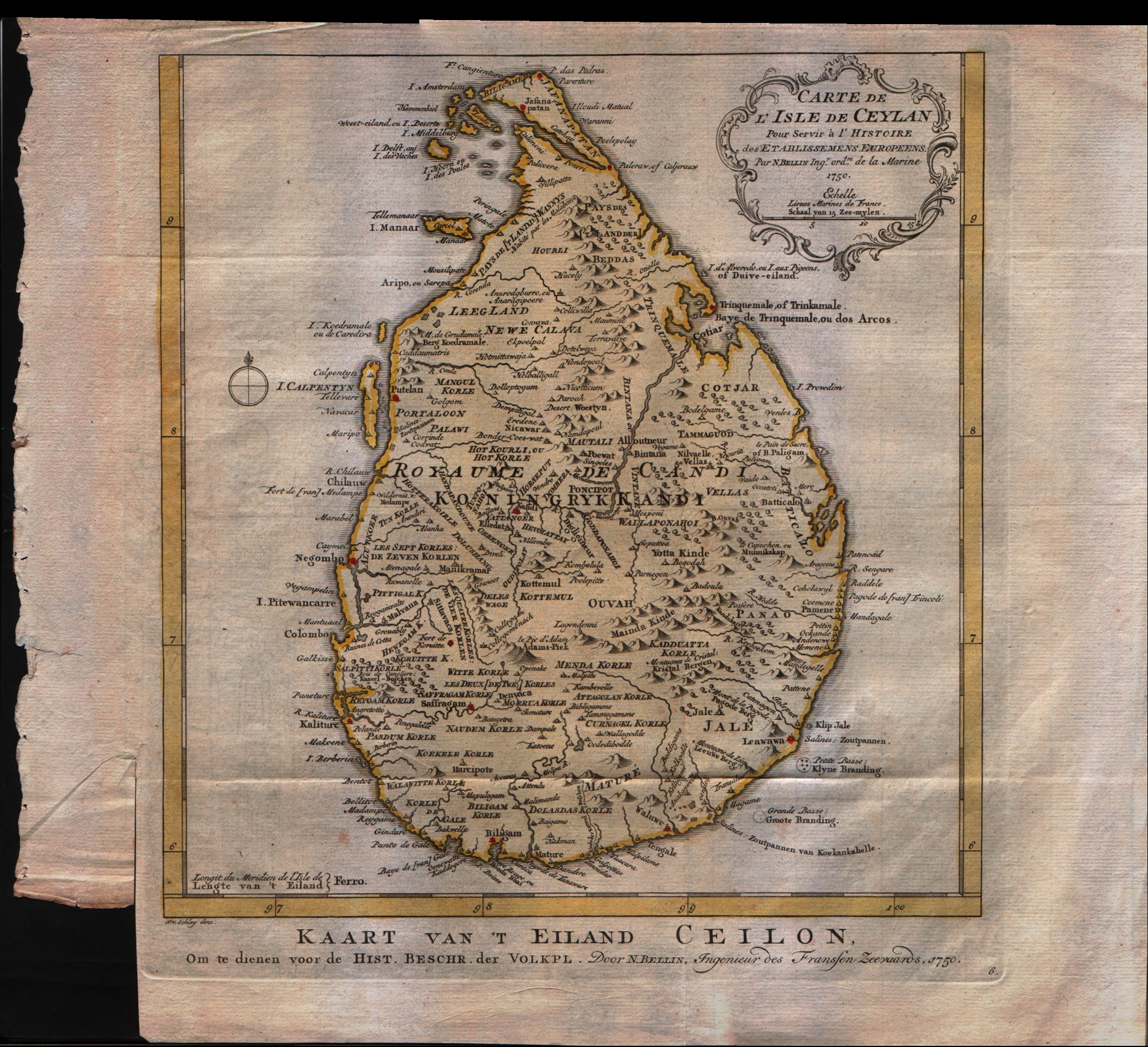
Map title
Carte de l'isle de Ceylan
Author
Bellin
Location shown in map
--
Edition date
1773
Edition place
Amsterdam
Editor
--
Atlas
Atlas Portatif -- E. van Harrevelt
Price
125 Euro
State
[mint/EXCELLENT/very good/good/fair/mediocre/poor]
Color
Old colors
Verso
Blank
Size
Plate: cm (24.1 x 25.4) inches (9.49 x 10) Paper: cm (34.3 x 30.5) inches (13.5 x 12.01)
Technique
Copper engraving
Note
No particular notes for this maps
Reference
--
Wiki
Here for more info
In stock
Available
Info
info@thetreasuremaps.com
Code
#0266
×
![]()
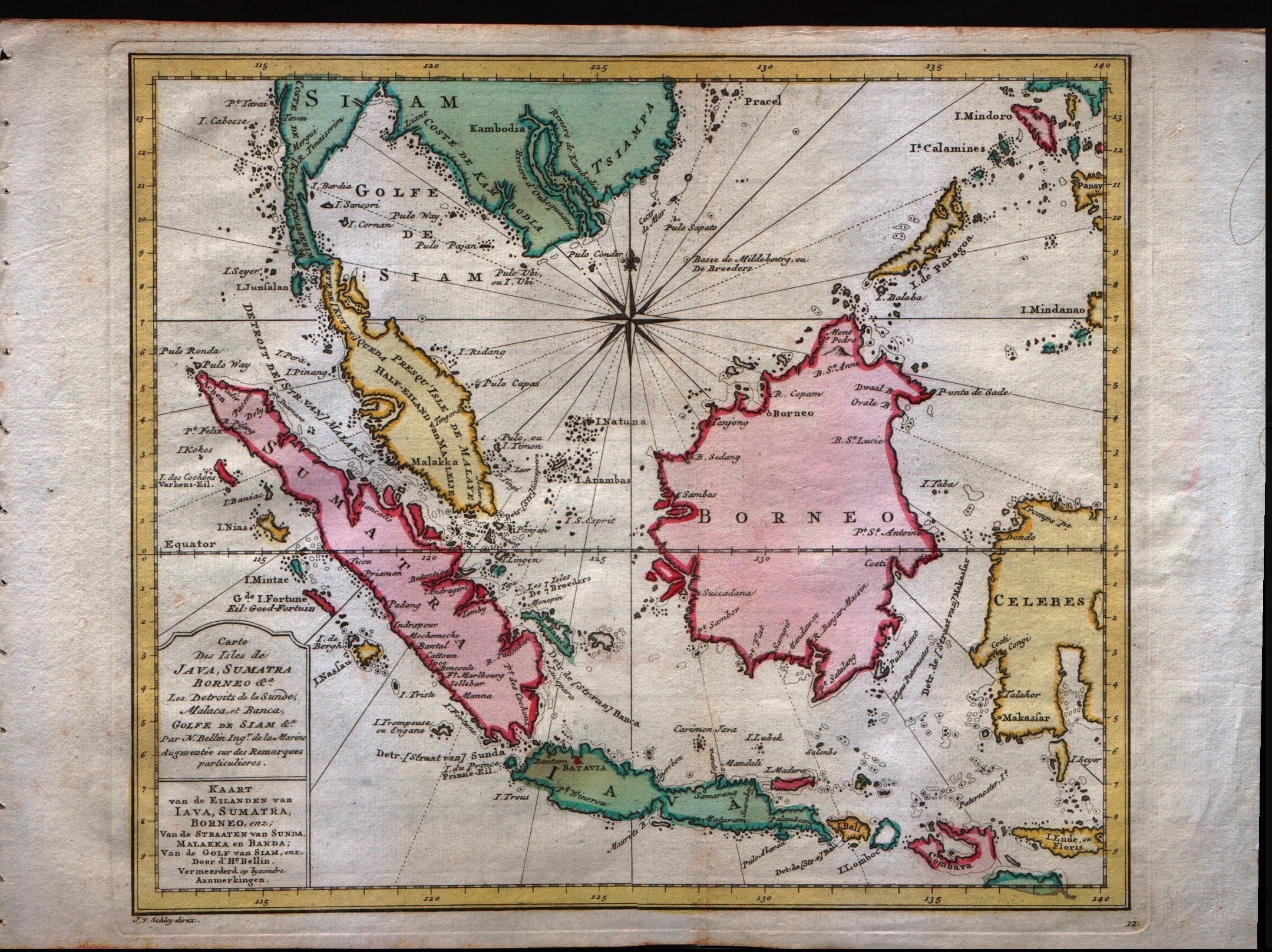
Map title
Carte Des Isles de Java, Sumatra, Borneo
Author
Bellin
Location shown in map
Java Sumatra
Edition date
1773
Edition place
Amsterdam
Editor
--
Atlas
Atlas Portatif -- E. van Harrevelt
Price
200 Euro
State
[mint/EXCELLENT/very good/good/fair/mediocre/poor]
Color
Old colors
Verso
Blank
Size
Plate: cm (29.2 x 24.1) inches (11.5 x 9.49) Paper: cm (35.6 x 26.7) inches (14.02 x 10.51)
Technique
Copper engraving
Note
No particular notes for this maps
Reference
--
Wiki
Here for more info
In stock
Available
Info
info@thetreasuremaps.com
Code
#0267
×
![]()
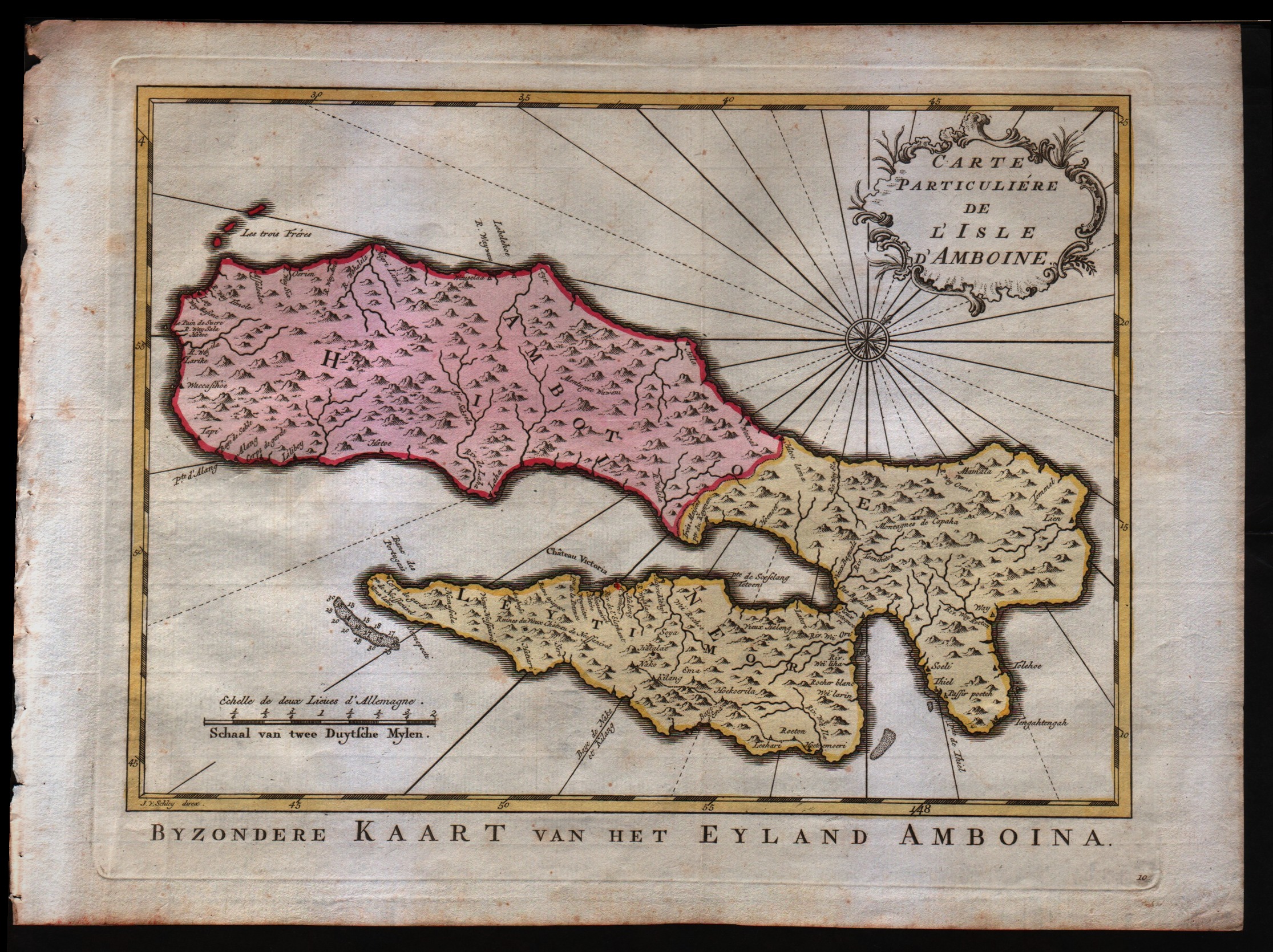
Map title
Carte particulier de l'isle d'Amboine
Author
Bellin
Location shown in map
--
Edition date
1773
Edition place
Amsterdam
Editor
--
Atlas
Atlas Portatif -- E. van Harrevelt
Price
Please ask: info@thetreasuremaps.com
State
[mint/EXCELLENT/very good/good/fair/mediocre/poor]
Color
Old colors
Verso
Blank
Size
Plate: cm (29.2 x 21.6) inches (11.5 x 8.5) Paper: cm (35.6 x 26.7) inches (14.02 x 10.51)
Technique
Copper engraving
Note
No particular notes for this maps
Reference
--
Wiki
Here for more info
In stock
Available
Info
info@thetreasuremaps.com
Code
#0268
×
![]()
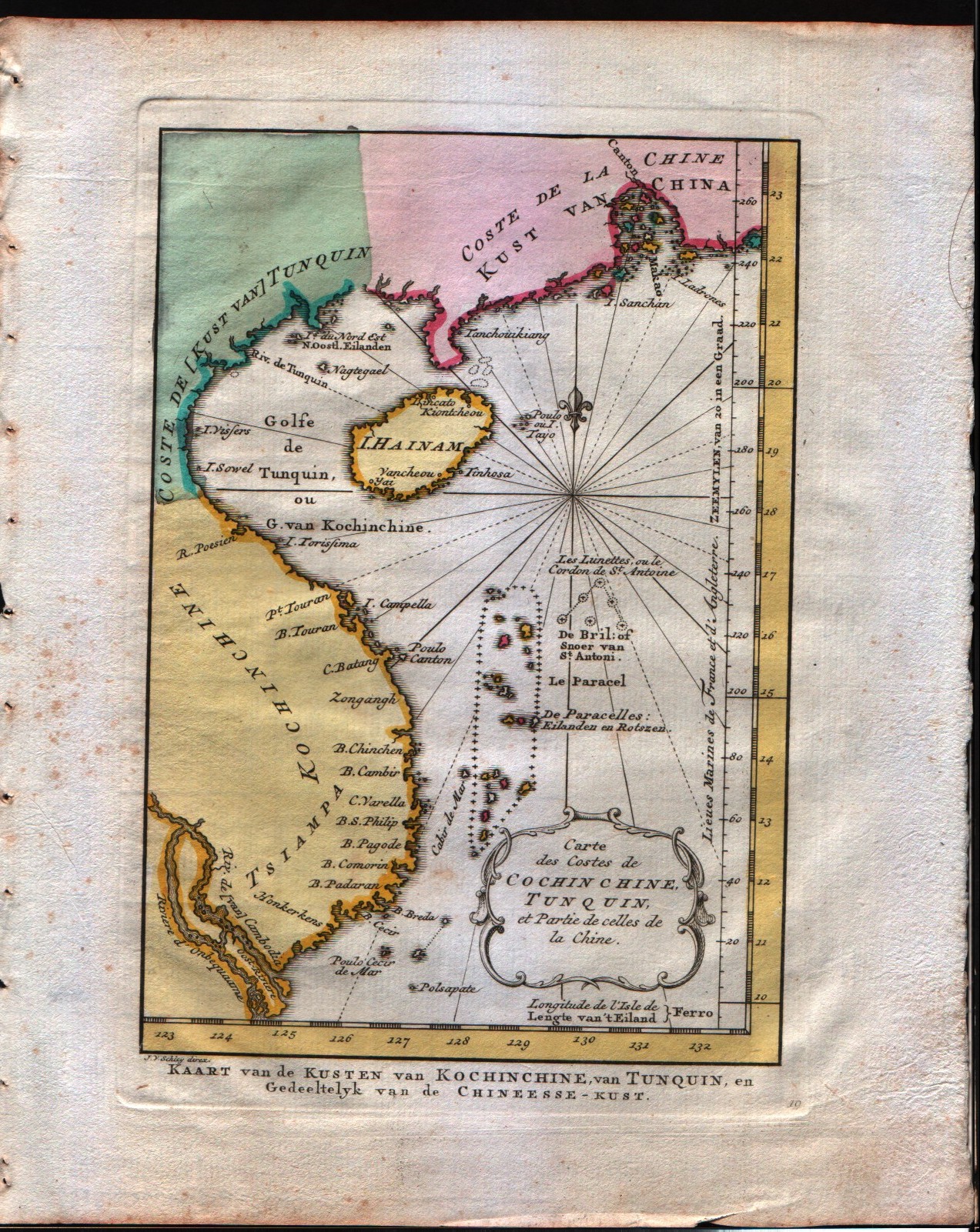
Map title
Carte des costes de Cochin Chine, Tunquin, et partie de celles de la Chine
Author
Bellin
Location shown in map
--
Edition date
1773
Edition place
Amsterdam
Editor
--
Atlas
Atlas Portatif -- E. van Harrevelt
Price
125 Euro
State
[mint/EXCELLENT/very good/good/fair/mediocre/poor]
Color
Old colors
Verso
Blank
Size
Plate: cm (14 x 20.3) inches (5.51 x 7.99) Paper: cm (21.6 x 26.7) inches (8.5 x 10.51)
Technique
Copper engraving
Note
No particular notes for this maps
Reference
--
Wiki
Here for more info
In stock
Available
Info
info@thetreasuremaps.com
Code
#0269
×
![]()
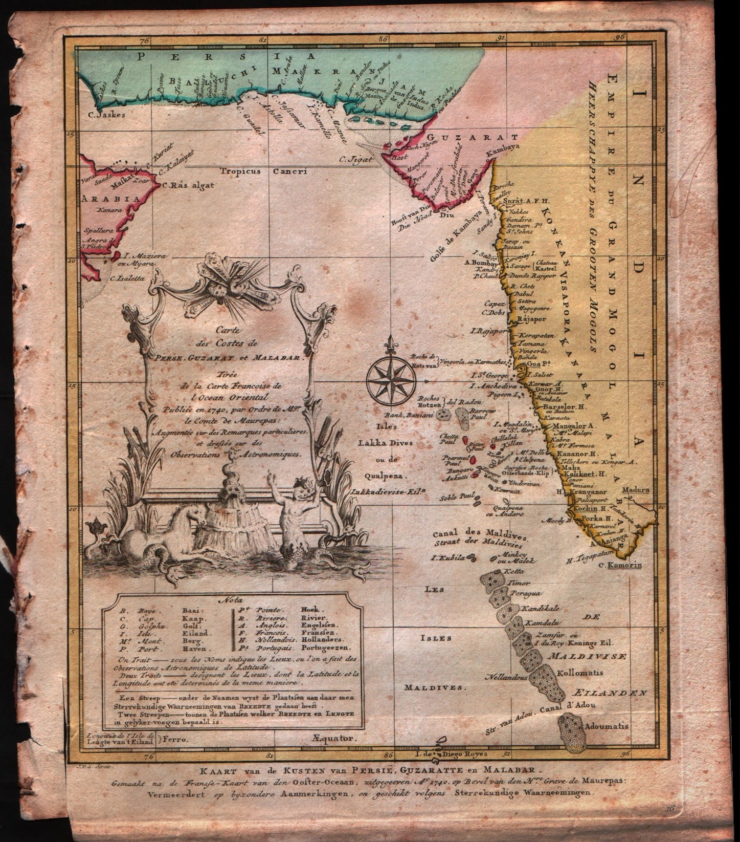
Map title
Carte des costes de Perse, Guzarat et Malabar
Author
Bellin
Location shown in map
--
Edition date
1773
Edition place
Amsterdam
Editor
--
Atlas
Atlas Portatif -- E. van Harrevelt
Price
Please ask: info@thetreasuremaps.com
State
[mint/EXCELLENT/very good/good/fair/mediocre/poor]
Color
Old colors
Verso
Blank
Size
Plate: cm (20.3 x 24.1) inches (7.99 x 9.49) Paper: cm (22.9 x 27.9) inches (9.02 x 10.98)
Technique
Copper engraving
Note
No particular notes for this maps
Reference
--
Wiki
Here for more info
In stock
Sold
Info
info@thetreasuremaps.com
Code
#0270
×
![]()
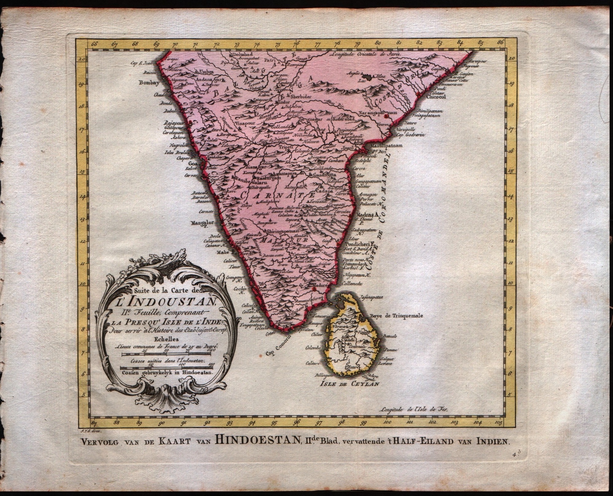
Map title
Suite de la carte de l'Indoustan, II feuille, comprendant la presqu'isle de l'Inde
Author
Bellin
Location shown in map
India
Edition date
1773
Edition place
Amsterdam
Editor
--
Atlas
Atlas Portatif -- E. van Harrevelt
Price
125 Euro
State
[mint/EXCELLENT/very good/good/fair/mediocre/poor]
Color
Old colors
Verso
Blank
Size
Plate: cm (24.1 x 21.6) inches (9.49 x 8.5) Paper: cm (33 x 26.7) inches (12.99 x 10.51)
Technique
Copper engraving
Note
No particular notes for this maps
Reference
--
Wiki
Here for more info
In stock
Available
Info
info@thetreasuremaps.com
Code
#0271
×
![]()
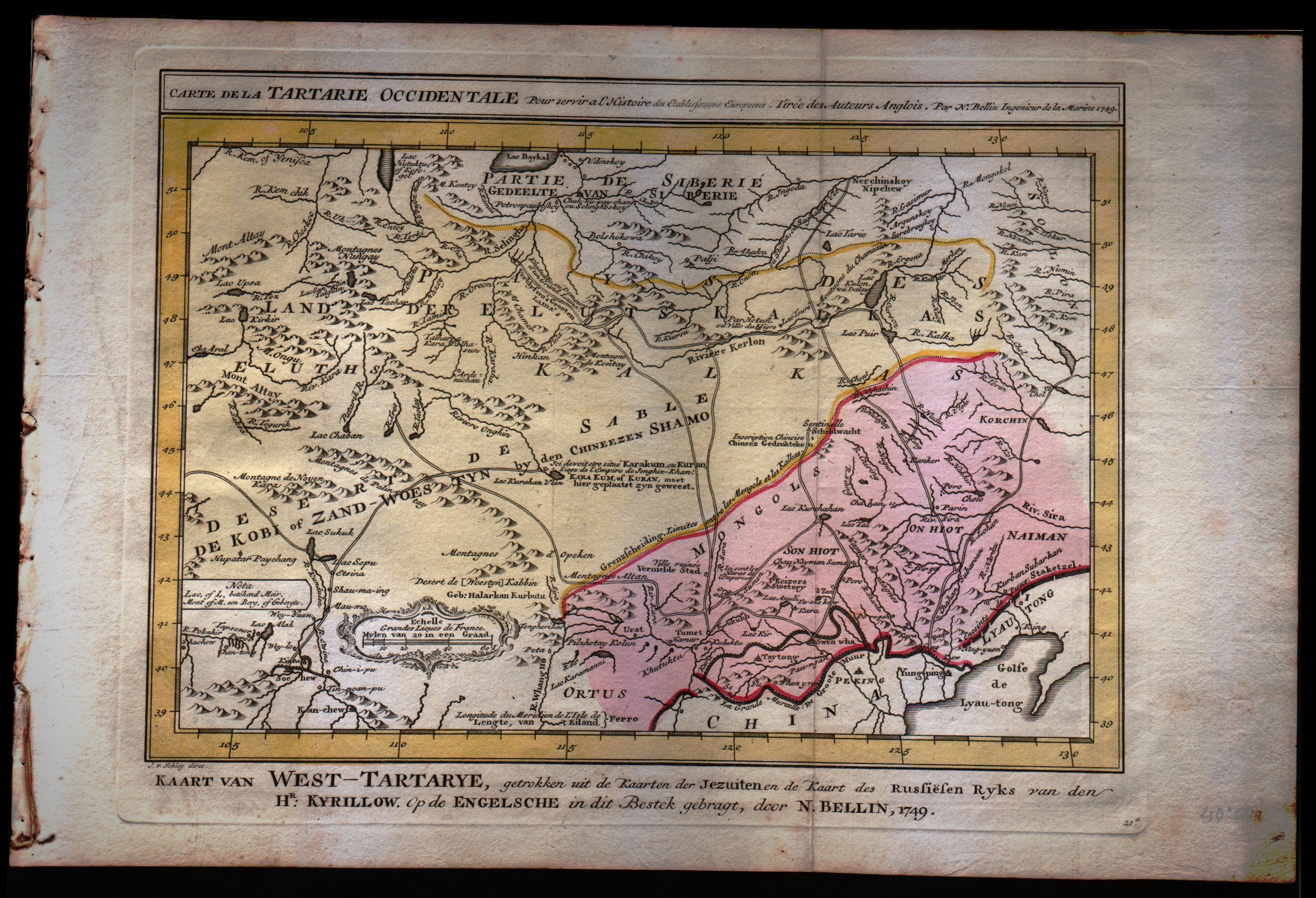
Map title
Carte de la Tartarie Occidentale
Author
Bellin
Location shown in map
North-east China
Edition date
1773
Edition place
Amsterdam
Editor
--
Atlas
Atlas Portatif -- E. van Harrevelt
Price
Please ask: info@thetreasuremaps.com
State
[mint/EXCELLENT/very good/good/fair/mediocre/poor]
Color
Old colors
Verso
Blank
Size
Plate: cm (30.5 x 25.4) inches (12.01 x 10) Paper: cm (40.6 x 26.7) inches (15.98 x 10.51)
Technique
Copper engraving
Note
No particular notes for this maps
Reference
--
Wiki
Here for more info
In stock
Available
Info
info@thetreasuremaps.com
Code
#0272
×
![]()
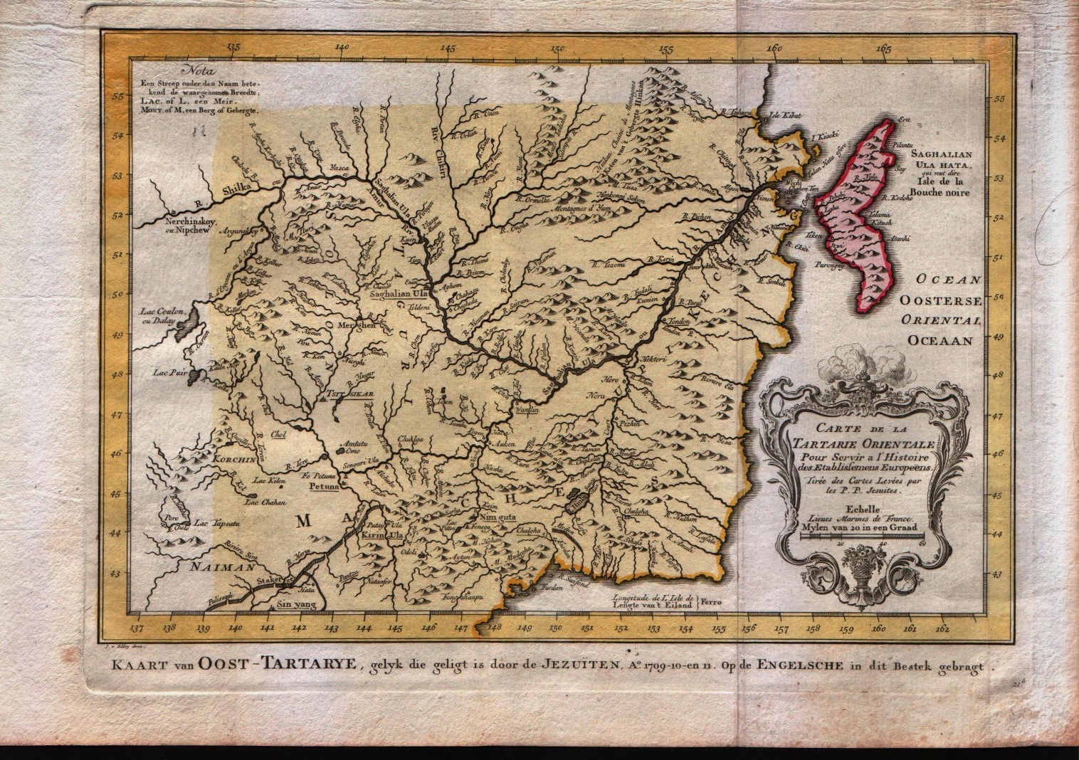
Map title
Carte de la Tartarie Orientale
Author
Bellin
Location shown in map
North-east China
Edition date
1773
Edition place
Amsterdam
Editor
--
Atlas
Atlas Portatif -- E. van Harrevelt
Price
Please ask: info@thetreasuremaps.com
State
[mint/EXCELLENT/very good/good/fair/mediocre/poor]
Color
Old colors
Verso
Blank
Size
Plate: cm (30.5 x 25.4) inches (12.01 x 10) Paper: cm (40.6 x 26.7) inches (15.98 x 10.51)
Technique
Copper engraving
Note
No particular notes for this maps
Reference
--
Wiki
Here for more info
In stock
Available
Info
info@thetreasuremaps.com
Code
#0273
×
![]()
Map title
Carte des environs de Batavia
Author
Bellin
Location shown in map
Batavia city
Edition date
1773
Edition place
Amsterdam
Editor
--
Atlas
Atlas Portatif -- E. van Harrevelt
Price
Please ask: info@thetreasuremaps.com
State
[mint/EXCELLENT/very good/good/fair/mediocre/poor]
Color
Old colors
Verso
Blank
Size
Plate: cm (27.9 x 22.9) inches (10.98 x 9.02) Paper: cm (35.6 x 25.4) inches (14.02 x 10)
Technique
Copper engraving
Note
No particular notes for this maps
Reference
--
Wiki
Here for more info
In stock
Sold
Info
info@thetreasuremaps.com
Code
#0275
×
![]()
Map title
Carte de la baye de la table et rade du Cap de Bonne Esperance
Author
Bellin
Location shown in map
--
Edition date
1773
Edition place
Amsterdam
Editor
--
Atlas
Atlas Portatif -- E. van Harrevelt
Price
Please ask: info@thetreasuremaps.com
State
[mint/EXCELLENT/very good/good/fair/mediocre/poor]
Color
Old colors
Verso
Blank
Size
Plate: cm (16.5 x 21.6) inches (6.5 x 8.5) Paper: cm (21.6 x 26.7) inches (8.5 x 10.51)
Technique
Copper engraving
Note
No particular notes for this maps
Reference
--
Wiki
Here for more info
In stock
Sold
Info
info@thetreasuremaps.com
Code
#0326
×
![]()
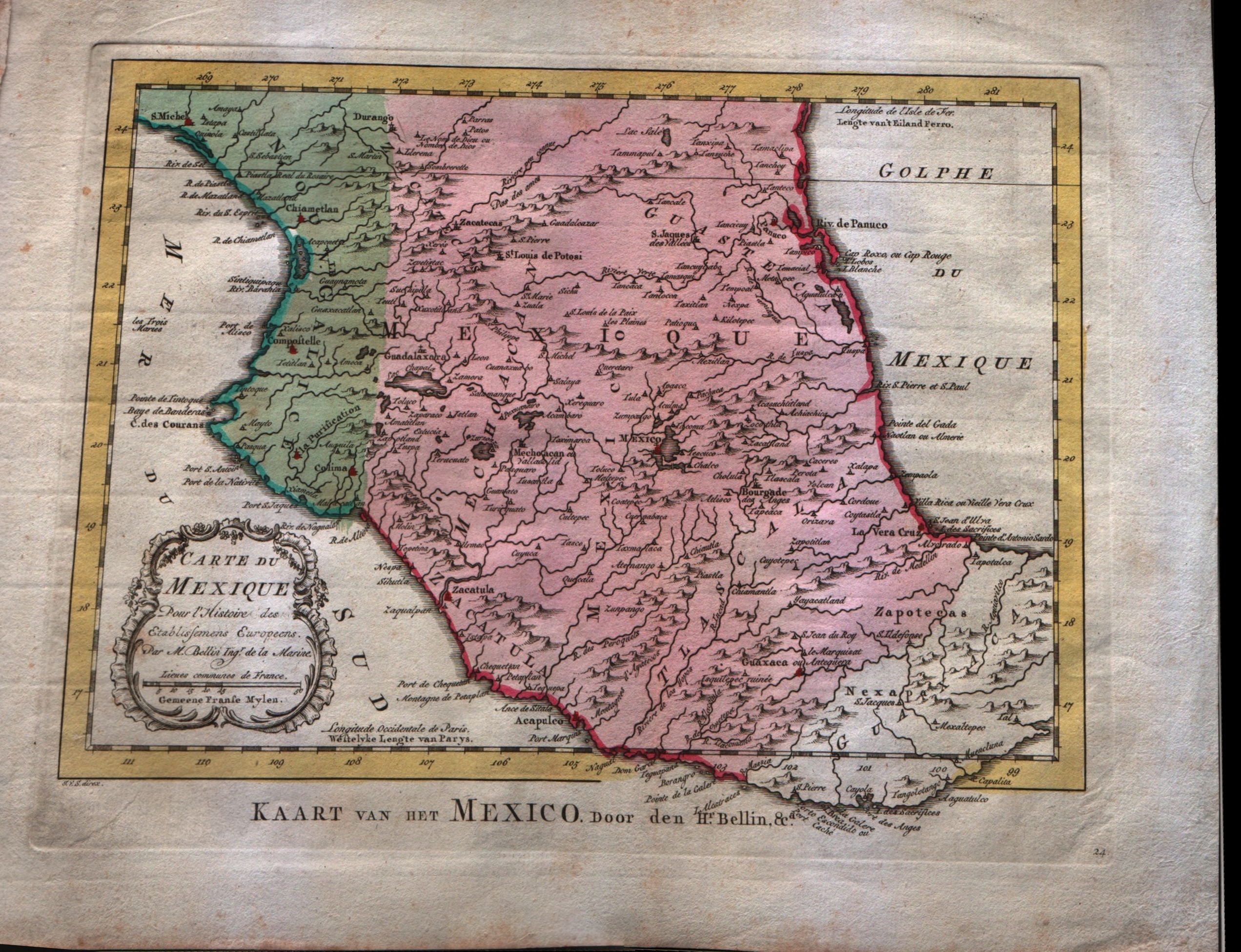
Map title
Carte du Mexique
Author
Bellin
Location shown in map
Mexico
Edition date
1773
Edition place
Amsterdam
Editor
--
Atlas
Atlas Portatif -- E. van Harrevelt
Price
Please ask: info@thetreasuremaps.com
State
[mint/EXCELLENT/very good/good/fair/mediocre/poor]
Color
Old colors
Verso
Blank
Size
Plate: cm (36.8 x 26.7) inches (14.49 x 10.51) Paper: cm (29.2 x 21.6) inches (11.5 x 8.5)
Technique
Copper engraving
Note
No particular notes for this maps
Reference
--
Wiki
Here for more info
In stock
Available
Info
info@thetreasuremaps.com
Code
#0358
×
![]()
Map title
Carte des environs de la ville de Mexico
Author
Bellin
Location shown in map
Map of Mexico city
Edition date
1773
Edition place
Amsterdam
Editor
--
Atlas
Atlas Portatif -- E. van Harrevelt
Price
Please ask: info@thetreasuremaps.com
State
[mint/EXCELLENT/very good/good/fair/mediocre/poor]
Color
Old colors
Verso
Blank
Size
Plate: cm (21.6 x 26.7) inches (8.5 x 10.51) Paper: cm (16.5 x 20.3) inches (6.5 x 7.99)
Technique
Copper engraving
Note
No particular notes for this maps
Reference
--
Wiki
Here for more info
In stock
Sold
Info
info@thetreasuremaps.com
Code
#0359
×
![]()
Map title
L'empire de La Chine
Author
Unknown
Location shown in map
China
Edition date
1773
Edition place
Amsterdam
Editor
--
Atlas
Atlas Portatif -- E. van Harrevelt
Price
Please ask: info@thetreasuremaps.com
State
[mint/EXCELLENT/very good/good/fair/mediocre/poor]
Color
Old colors
Verso
Blank
Size
Plate: cm (40.6 x 27.9) inches (15.98 x 10.98) Paper: cm (50.8 x 35.6) inches (20 x 14.02)
Technique
Copper engraving
Note
No particular notes for this maps
Reference
--
Wiki
Here for more info
In stock
Sold
Info
info@thetreasuremaps.com
Code
#0438
×
![]()
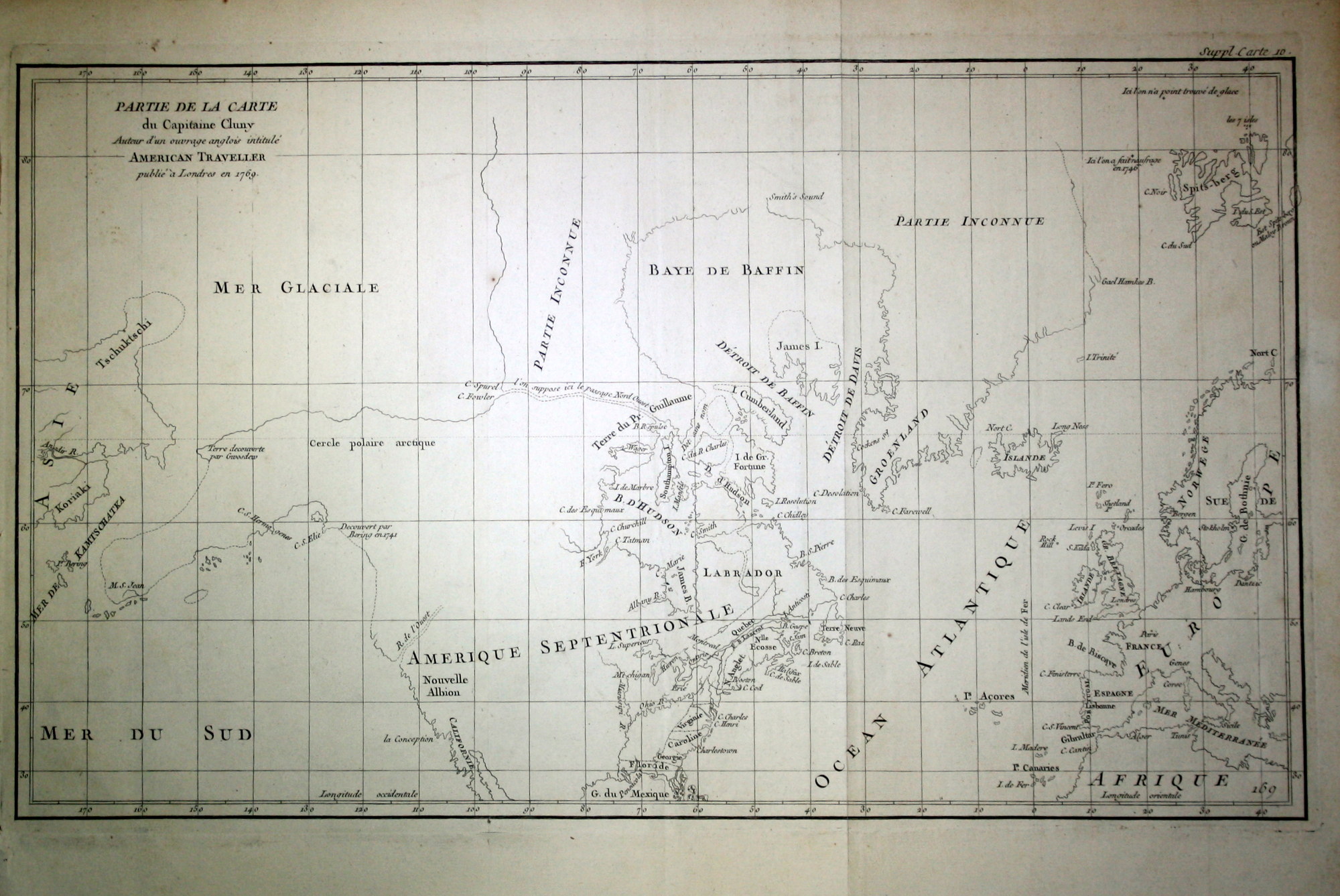
Map title
Partie de la carte du Capitaine Cluny
Author
Diderot
Location shown in map
North America
Edition date
1773
Edition place
Paris
Editor
Diderot
Atlas
Diderot's Encyclopaedia
Price
250 Euro
State
[mint/EXCELLENT/very good/good/fair/mediocre/poor]
Color
Black/white
Verso
Blank
Size
Plate: cm (49.5 x 29.2) inches (19.49 x 11.5) Paper: cm (50.8 x 38.1) inches (20 x 15)
Technique
Copper engraving
Note
No particular notes for this maps.
Reference
--
Wiki
Here for more info
In stock
Available
Info
info@thetreasuremaps.com
Code
#0600
×
![]()
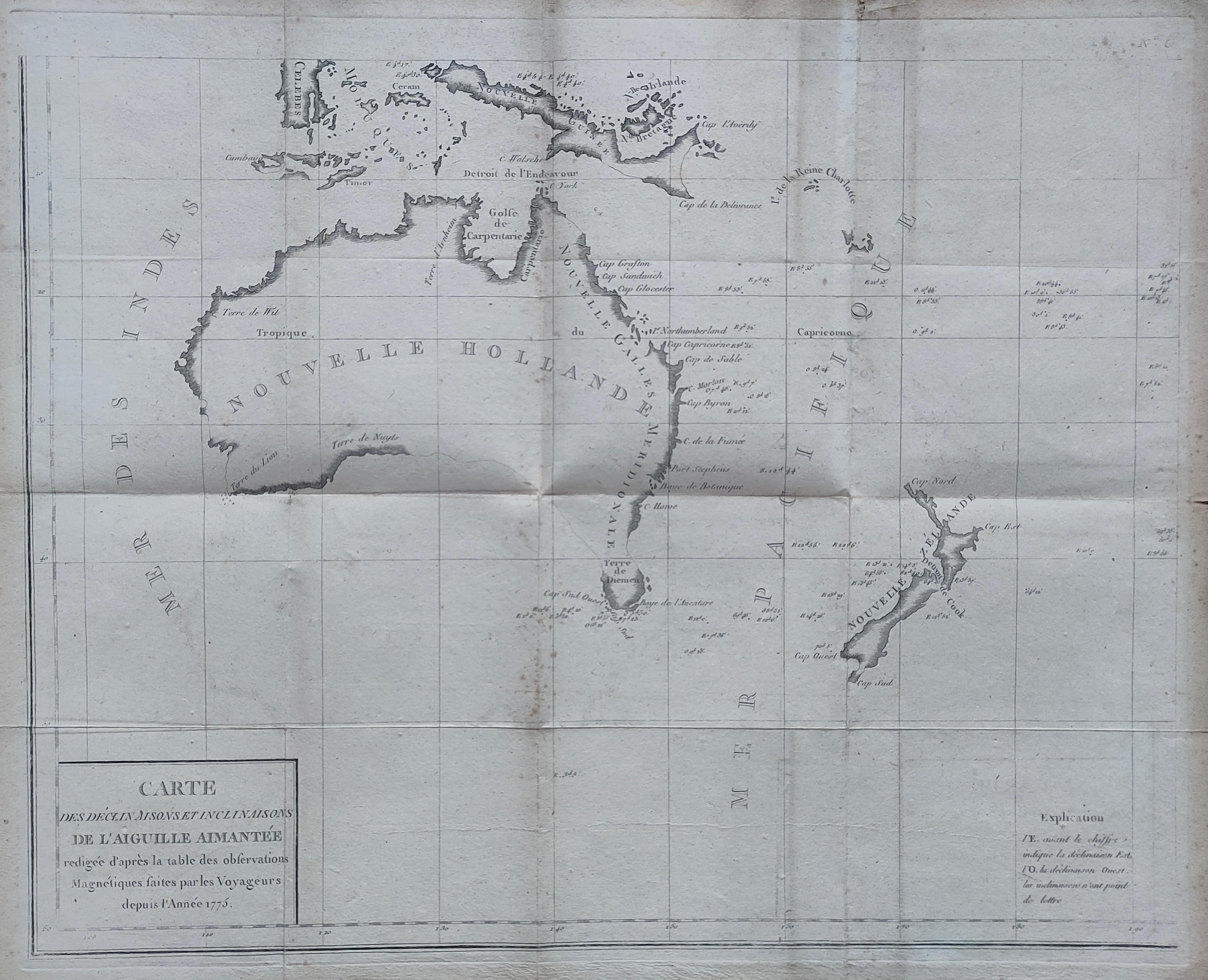
Map title
Carte des declinaisons et inclinaisons de L’aiguille aimantee redigee
Author
Jean-Charles Borda
Location shown in map
Australia
Edition date
1775
Edition place
Paris
Editor
Buffon
Atlas
Price
900 Euro
State
[mint/EXCELLENT/very good/good/fair/mediocre/poor]
Color
Black/white
Verso
Blank
Size
Plate: cm (55 x 44) inches (21.65 x 17.32) Paper: cm (59 x 49) inches (23.23 x 19.29)
Technique
Copper engraving
Note
Reference
Wiki
Here for more info
In stock
Available
Info
info@thetreasuremaps.com
Code
#1270
×
![]()
Map title
Parte del nord dell'America Settentrionale
Author
Raylan
Location shown in map
North America
Edition date
1776
Edition place
Editor
--
Atlas
Storia filosofica e politica degli Stabilimenti, e del Commercio Degli Europeo nelle due Indie
Price
150 Euro
State
[mint/EXCELLENT/very good/good/fair/mediocre/poor]
Color
Black/white
Verso
Blank
Size
Plate: cm (23 x 32) inches (9.06 x 12.6) Paper: cm (24 x 33) inches (9.45 x 12.99)
Technique
Copper engraving
Note
Reference
--
Wiki
Here for more info
In stock
Available
Info
info@thetreasuremaps.com
Code
#0939
×
![]()
Map title
Carta qui contient la proncipate de Piemont le Monferrat
Author
Santini
Location shown in map
Liguria
Edition date
1776
Edition place
Venice
Editor
Atlas
Price
200 Euro
State
[mint/EXCELLENT/very good/good/fair/mediocre/poor]
Color
Black/white
Verso
Blank
Size
Plate: cm (47 x 64) inches (18.5 x 25.2) Paper: cm (50 x 68) inches (19.69 x 26.77)
Technique
Copper engraving
Note
Reference
Wiki
Here for more info
In stock
Available
Info
info@thetreasuremaps.com
Code
#1054
×
![]()
Map title
Le Royaume de Pologne
Author
Robert de Vaugondy
Location shown in map
Poland
Edition date
Circa 1776
Edition place
Venice
Editor
Santini
Atlas
Atlas Universel
Price
250 Euro
State
[mint/EXCELLENT/very good/good/fair/mediocre/poor]
Color
Old colors
Verso
Blank
Size
Plate: cm (61 x 48) inches (24.02 x 18.9) Paper: cm (72 x 53) inches (28.35 x 20.87)
Technique
Copper engraving
Note
Reference
Wiki
Here for more info
In stock
Available
Info
info@thetreasuremaps.com
Code
#1070
×
![]()
Map title
L'Empire de la Chine d'Apres L'Atlas Chinois avec Les Isles du Japon
Author
Bonne
Location shown in map
China
Edition date
1776
Edition place
Paris
Editor
Lattre
Atlas
Atlas Moderne
Price
125 Euro
State
[mint/EXCELLENT/very good/good/fair/mediocre/poor]
Color
Old colors
Verso
Blank
Size
Plate: cm (46 x 32) inches (18.11 x 12.6) Paper: cm (52 x 38) inches (20.47 x 14.96)
Technique
Copper engraving
Note
Reference
--
Wiki
Here for more info
In stock
Available
Info
info@thetreasuremaps.com
Code
#1088
×
![]()
Map title
L' Asia divisa ne' suoi principali Stati.
Author
Zatta
Location shown in map
Asia
Edition date
1777
Edition place
Venice
Editor
Atlas
Atlante novissimo
Price
250 Euro
State
[mint/excellent/VERY GOOD/good/fair/mediocre/poor]
Color
Old colors
Verso
Blank
Size
Plate: cm (40 x 30) inches (15.75 x 11.81) Paper: cm (47 x 37) inches (18.5 x 14.57)
Technique
Copper engraving
Note
Reference
Wiki
Here for more info
In stock
Available
Info
info@thetreasuremaps.com
Code
#1003
×
![]()
Map title
Isle d'Harvey - Isle Palmerston - Isle de la Tortue - Isle Savage
Author
Cook
Location shown in map
Polynesia
Edition date
1778
Edition place
Paris
Editor
Strahan e Cadell
Atlas
Voyage das L' Hemisphere Austral, et autour du Monde
Price
150 Euro
State
[mint/EXCELLENT/very good/good/fair/mediocre/poor]
Color
Black/white
Verso
Blank
Size
Plate: cm (9 x 24) inches (3.54 x 9.45) Paper: cm (23 x 30) inches (9.06 x 11.81)
Technique
Copper engraving
Note
No particular notes for this maps.
Reference
--
Wiki
Here for more info
In stock
Available
Info
info@thetreasuremaps.com
Code
#0642
×
![]()
Map title
L'Italie et ses isles circonvoisines Siclile, Sargaigne, Corse ...
Author
Sanson
Location shown in map
Italy
Edition date
1778
Edition place
Paris
Editor
Delahaye
Atlas
Price
600 Euro
State
[mint/EXCELLENT/very good/good/fair/mediocre/poor]
Color
Old colors
Verso
Blank
Size
Plate: cm (52 x 68) inches (20.47 x 26.77) Paper: cm (54 x 75) inches (21.26 x 29.53)
Technique
Copper engraving
Note
Reference
R.Borri L'Italia nelle antiche carte pag.241
Wiki
Here for more info
In stock
Available
Info
info@thetreasuremaps.com
Code
#0907
×
![]()
Map title
Italia antiqua
Author
Robert de Vaugondy
Location shown in map
Italy
Edition date
1778
Edition place
Venice
Editor
Santini
Atlas
Atlas Universel
Price
250 Euro
State
[mint/excellent/VERY GOOD/good/fair/mediocre/poor]
Color
Old colors
Verso
Blank
Size
Plate: cm (54 x 47) inches (21.26 x 18.5) Paper: cm (67 x 51) inches (26.38 x 20.08)
Technique
Copper engraving
Note
Reference
R.Borri L'Italia nelle antiche carte pag.249
Wiki
Here for more info
In stock
Available
Info
info@thetreasuremaps.com
Code
#1058
×
![]()
Map title
L'Europe
Author
Janvier
Location shown in map
Europe
Edition date
1778
Edition place
Venice
Editor
Santini
Atlas
Atlas Universel
Price
250 Euro
State
[mint/EXCELLENT/very good/good/fair/mediocre/poor]
Color
Old colors
Verso
Blank
Size
Plate: cm (64 x 47) inches (25.2 x 18.5) Paper: cm (67 x 51) inches (26.38 x 20.08)
Technique
Copper engraving
Note
Reference
Wiki
Here for more info
In stock
Available
Info
info@thetreasuremaps.com
Code
#1059
×
![]()
Map title
Carte Des Deux Regions Polaires
Author
Buffon
Location shown in map
Polar
Edition date
Circa 1778
Edition place
Paris
Editor
Atlas
Histoire naturelle, générale et particulière
Price
175 Euro
State
[mint/EXCELLENT/very good/good/fair/mediocre/poor]
Color
Black/white
Verso
Blank
Size
Plate: cm (44 x 22) inches (17.32 x 8.66) Paper: cm (47 x 24) inches (18.5 x 9.45)
Technique
Copper engraving
Note
Reference
Wiki
Here for more info
In stock
Available
Info
info@thetreasuremaps.com
Code
#1255
×
![]()
Map title
Les isles Philippines...
Author
Bonne
Location shown in map
South East
Edition date
1780
Edition place
Paris
Editor
--
Atlas
Atlas de toutes les parties connues du globe terrestre. J.L.Pellet
Price
Please ask: info@thetreasuremaps.com
State
[mint/EXCELLENT/very good/good/fair/mediocre/poor]
Color
Black/white
Verso
Blank
Size
Plate: cm (31.8 x 21.6) inches (12.52 x 8.5) Paper: cm (36.8 x 25.4) inches (14.49 x 10)
Technique
Copper engraving
Note
No particular notes for this maps
Reference
--
Wiki
Here for more info
In stock
Sold
Info
info@thetreasuremaps.com
Code
#0439
×
![]()
Map title
Planisphere suivant la projection de Mercator
Author
Bonne
Location shown in map
World
Edition date
1780
Edition place
Paris
Editor
--
Atlas
Atlas de toutes les parties connues du globe terrestre : dresse pour l'histoire philosophique et politique des alissemens et du commerce des europens dans les deux Indes. J.L.Pellet
Price
150 Euro
State
[mint/excellent/VERY GOOD/good/fair/mediocre/poor]
Color
Black/white
Verso
Blank
Size
Plate: cm (31.8 x 21) inches (12.52 x 8.27) Paper: cm (41.9 x 26.7) inches (16.5 x 10.51)
Technique
Copper engraving
Note
No particular notes for this maps
Reference
--
Wiki
Here for more info
In stock
Available
Info
info@thetreasuremaps.com
Code
#0582
×
![]()
Map title
Carte Generale de la Terre necessaire au Service de la Marine Stable sur un Plan Fixe Sans Antipodes
Author
Clermont, Jacques
Location shown in map
World
Edition date
1780
Edition place
Paris
Editor
--
Atlas
Price
600 Euro
State
[mint/EXCELLENT/very good/good/fair/mediocre/poor]
Color
Black/white
Verso
Blank
Size
Plate: cm (58 x 36) inches (22.83 x 14.17) Paper: cm (63 x 48) inches (24.8 x 18.9)
Technique
Copper engraving
Note
No particular notes for this maps.
Reference
--
Wiki
Here for more info
In stock
Sold
Info
info@thetreasuremaps.com
Code
#0723
×
![]()
Map title
Cartes des isles Britanniques
Author
Robert de Vaugondy
Location shown in map
British Isles
Edition date
Circa 1780
Edition place
Paris
Editor
Delamarche
Atlas
Atlas d Etude pour l'instruction de la Jeunesse
Price
Please ask: info@thetreasuremaps.com
State
[mint/excellent/VERY GOOD/good/fair/mediocre/poor]
Color
Old color
Verso
Blank
Size
Plate: cm (71 x 53) inches (27.95 x 20.87) Paper: cm (77 x 57) inches (30.31 x 22.44)
Technique
Copper engraving
Note
Professionally rapaired
Reference
--
Wiki
Here for more info
In stock
Available
Info
info@thetreasuremaps.com
Code
#0744
×
![]()
Map title
L'Italie Divisee en ses differents Etats Royaumes
Author
Citoyen Berthelon
Location shown in map
Italy
Edition date
Circa 1780
Edition place
Paris
Editor
--
Atlas
Atlas moderne
Price
100 Euro
State
[mint/EXCELLENT/very good/good/fair/mediocre/poor]
Color
Old colors
Verso
Blank
Size
Plate: cm (22 x 18) inches (8.66 x 7.09) Paper: cm (24 x 20) inches (9.45 x 7.87)
Technique
Copper engraving
Note
Reference
--
Wiki
Here for more info
In stock
Available
Info
info@thetreasuremaps.com
Code
#0902
×
![]()
Map title
Gli stati d'Italia
Author
Probst
Location shown in map
Italy
Edition date
1780
Edition place
Augsburg
Editor
Atlas
Atlas Selectus
Price
175 Euro
State
[mint/excellent/VERY GOOD/good/fair/mediocre/poor]
Color
Old colors
Verso
Blank
Size
Plate: cm (25 x 17) inches (9.84 x 6.69) Paper: cm (33 x 21) inches (12.99 x 8.27)
Technique
Copper engraving
Note
Reference
R.Borri L'Italia nelle antiche carte pag.202
Wiki
Here for more info
In stock
Available
Info
info@thetreasuremaps.com
Code
#0966
×
![]()
Map title
L'Italie divisee en ses different ...
Author
Janvier
Location shown in map
Italy
Edition date
1780
Edition place
Venice
Editor
Santini
Atlas
Atlas Universel
Price
350 Euro
State
[mint/excellent/VERY GOOD/good/fair/mediocre/poor]
Color
Old colors
Verso
Blank
Size
Plate: cm (64 x 48) inches (25.2 x 18.9) Paper: cm (72 x 55) inches (28.35 x 21.65)
Technique
Copper engraving
Note
Reference
R.Borri L'Italia nelle antiche carte pag.255
Wiki
Here for more info
In stock
Available
Info
info@thetreasuremaps.com
Code
#1017
×
![]()
Map title
L'Italie divisee en ses different ...
Author
Janvier
Location shown in map
Italy
Edition date
1780
Edition place
Venice
Editor
Santini
Atlas
Atlas Universel
Price
350 Euro
State
[mint/excellent/VERY GOOD/good/fair/mediocre/poor]
Color
Old colors
Verso
Blank
Size
Plate: cm (64 x 48) inches (25.2 x 18.9) Paper: cm (72 x 55) inches (28.35 x 21.65)
Technique
Copper engraving
Note
Reference
R.Borri L'Italia nelle antiche carte pag.255
Wiki
Here for more info
In stock
Available
Info
info@thetreasuremaps.com
Code
#1057
×
![]()
Map title
Tabula Italiae antiquae
Author
Delisle
Location shown in map
Italy
Edition date
Circa 1780
Edition place
Paris
Editor
Dezauche
Atlas
Price
300 Euro
State
[mint/EXCELLENT/very good/good/fair/mediocre/poor]
Color
Old colors
Verso
Blank
Size
Plate: cm (64 x 50) inches (25.2 x 19.69) Paper: cm (81 x 57) inches (31.89 x 22.44)
Technique
Copper engraving
Note
Reference
Wiki
Here for more info
In stock
Available
Info
info@thetreasuremaps.com
Code
#1248
×
![]()
Map title
Carte Geo-Hydrographique du golfe du Mexico
Author
Rizzi Zannoni
Location shown in map
West Indies
Edition date
Circa 1780
Edition place
Paris
Editor
Atlas
Price
300 Euro
State
[mint/EXCELLENT/very good/good/fair/mediocre/poor]
Color
Old colors
Verso
Blank
Size
Plate: cm (45 x 31) inches (17.72 x 12.2) Paper: cm (54 x 39) inches (21.26 x 15.35)
Technique
Copper engraving
Note
Reference
Wiki
Here for more info
In stock
Available
Info
info@thetreasuremaps.com
Code
#1263
×
![]()
Map title
Mappe-monde
Author
Janvier
Location shown in map
World
Edition date
1782
Edition place
Paris
Editor
Lattre
Atlas
Price
400 Euro
State
[mint/excellent/VERY GOOD/good/fair/mediocre/poor]
Color
Old colors
Verso
Blank
Size
Plate: cm (45 x 31) inches (17.72 x 12.2) Paper: cm (47 x 35) inches (18.5 x 13.78)
Technique
Copper engraving
Note
Reference
Wiki
Here for more info
In stock
Available
Info
info@thetreasuremaps.com
Code
#1159
×
![]()
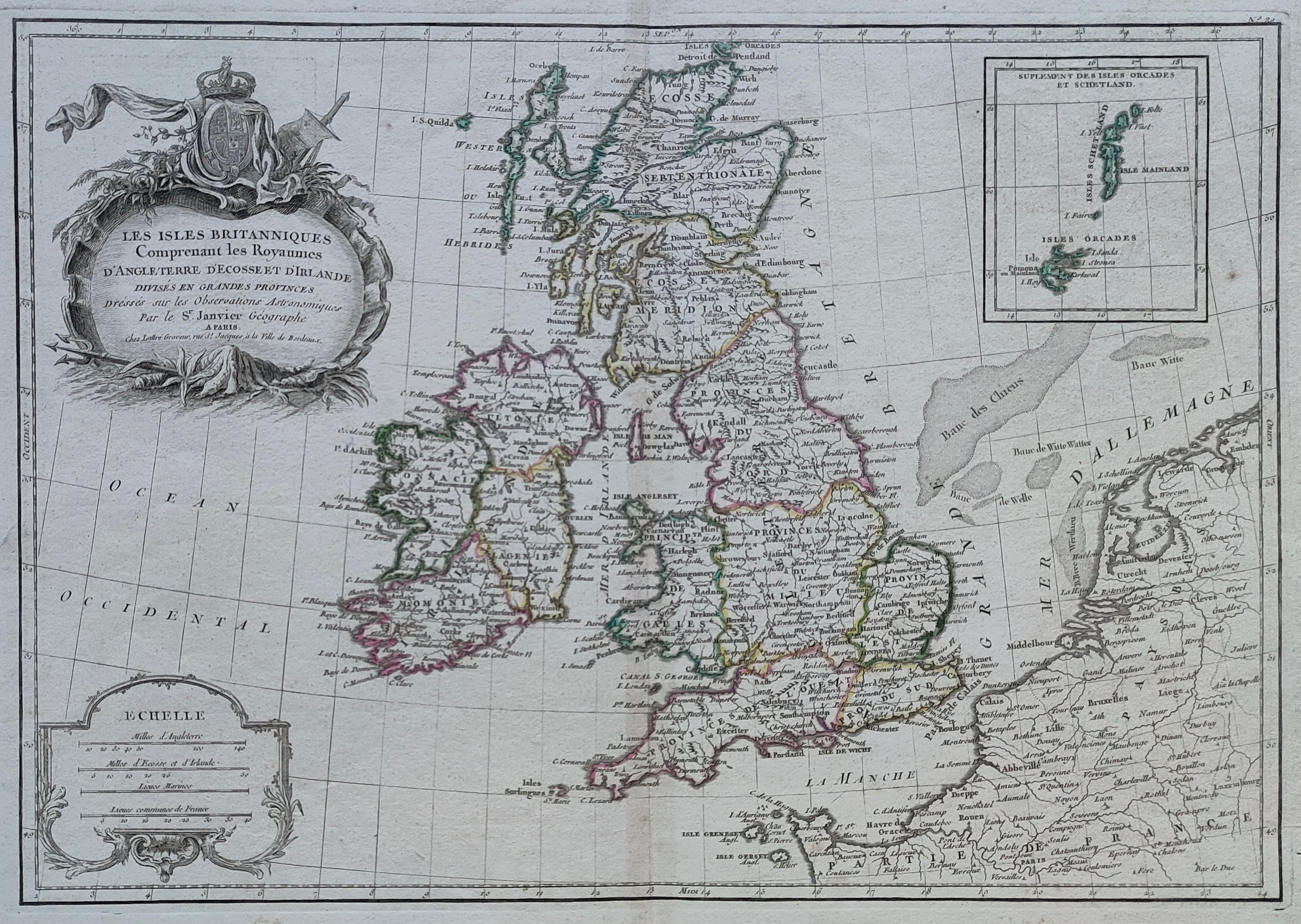
Map title
Les isles Britanniques
Author
Janvier
Location shown in map
British Isles
Edition date
Circa 1782
Edition place
Paris
Editor
Atlas
Price
150 Euro
State
[mint/EXCELLENT/very good/good/fair/mediocre/poor]
Color
Old colors
Verso
Blank
Size
Plate: cm (44 x 31) inches (17.32 x 12.2) Paper: cm (50 x 37) inches (19.69 x 14.57)
Technique
Copper engraving
Note
Reference
Wiki
Here for more info
In stock
Available
Info
info@thetreasuremaps.com
Code
#1216
×
![]()
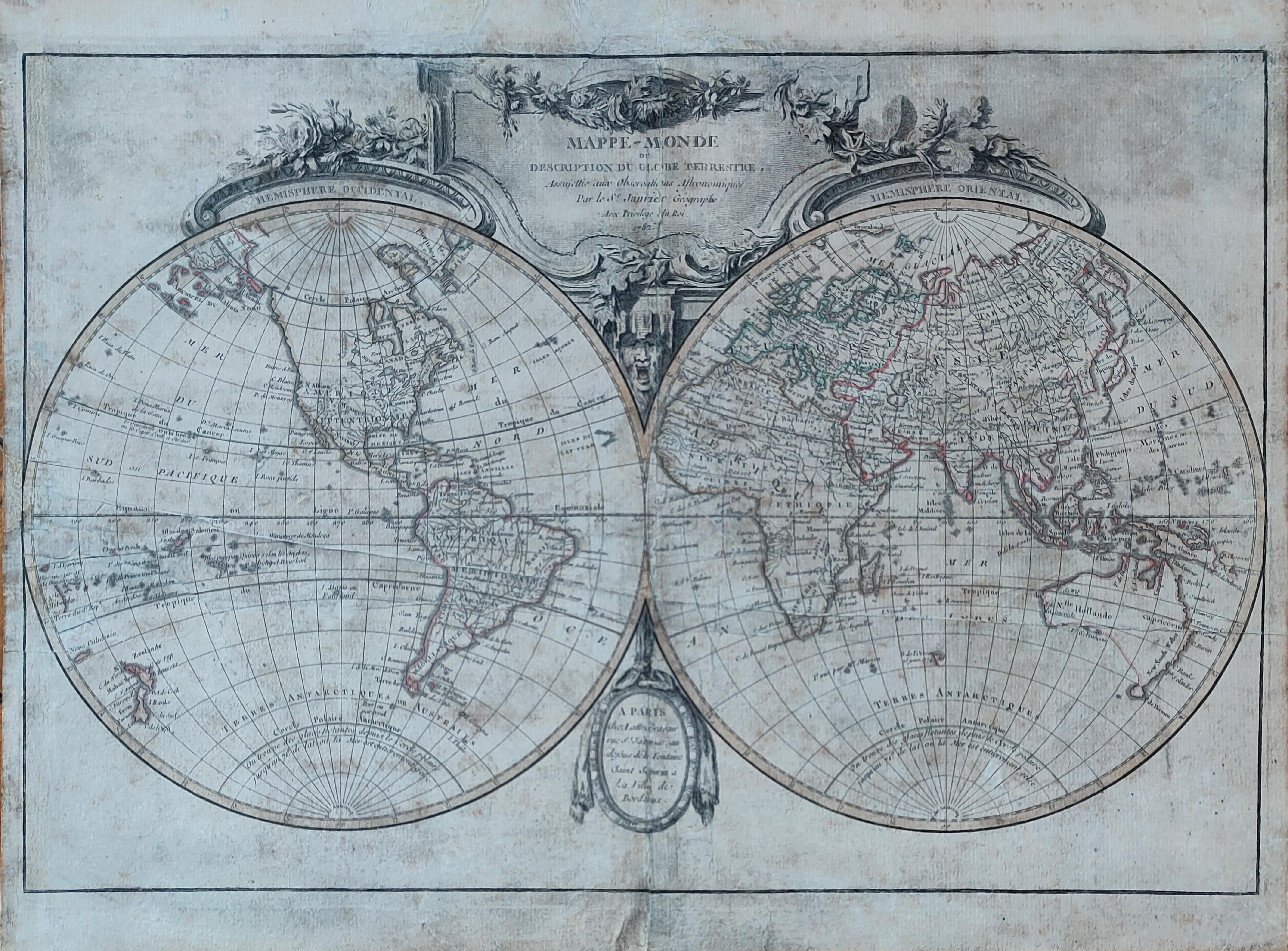
Map title
Mappe-monde
Author
Janvier
Location shown in map
World
Edition date
1782
Edition place
Paris
Editor
Lattre
Atlas
Price
400 Euro
State
[mint/excellent/VERY GOOD/good/fair/mediocre/poor]
Color
Old colors
Verso
Hand written
Size
Plate: cm (45 x 30) inches (17.72 x 11.81) Paper: cm (47 x 35) inches (18.5 x 13.78)
Technique
Copper engraving
Note
Professonally restored
Reference
Wiki
Here for more info
In stock
Available
Info
info@thetreasuremaps.com
Code
#1262
×
![]()

Map title
Terra di Bari e Basilicata
Author
Zatta
Location shown in map
Puglia
Edition date
1783
Edition place
Venice
Editor
Atlas
Atlante novissimo
Price
200 Euro
State
[mint/EXCELLENT/very good/good/fair/mediocre/poor]
Color
Old colors
Verso
Blank
Size
Plate: cm (42 x 32) inches (16.54 x 12.6) Paper: cm (47 x 37) inches (18.5 x 14.57)
Technique
Copper engraving
Note
Reference
Wiki
Here for more info
In stock
Available
Info
info@thetreasuremaps.com
Code
#1295
×
![]()
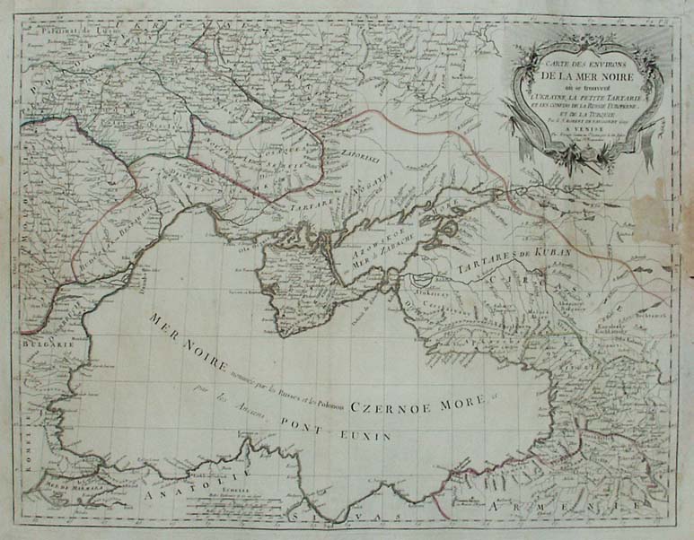
Map title
Carte des environs de la mer Noire o se trouvent l'Ukraine, la petite Tartarie, et les confins de la Russie Europ�ne, et de la Turquie
Author
Unknown
Location shown in map
--
Edition date
1784
Edition place
Venise
Editor
--
Atlas
Atlas Universel dresse sur les meilleures cartes modernes. Printed by Santini & Remondini.
Price
Please ask: info@thetreasuremaps.com
State
[mint/excellent/very good/good/fair/MEDIOCRE/poor] the map is damaged.
Color
Old outlined
Verso
Blank
Size
Plate: cm (48.3 x 63.5) inches (19.02 x 25) Paper: cm (54.6 x 76.2) inches (21.5 x 30)
Technique
Copper engraving
Note
The atlas is effectively an Italian copy of the Robert de Vaugondy Atlas Universel, and contains 123 maps, variously dated 1775 to 1780. The atlas was reprinted in 1784 by Remondini, which gives a relatively short career span for Santini.
Reference
--
Wiki
Here for more info
In stock
Available
Info
info@thetreasuremaps.com
Code
#0277
×
![]()
Map title
Turquie d'Europe
Author
Unknown
Location shown in map
--
Edition date
1784
Edition place
Venise
Editor
--
Atlas
Atlas Universel dresse sur les meilleures cartes modernes. Printed by Santini & Remondini.
Price
Please ask: info@thetreasuremaps.com
State
[mint/EXCELLENT/very good/good/fair/mediocre/poor]
Color
Old outlined
Verso
Blank
Size
Plate: cm (48.3 x 63.5) inches (19.02 x 25) Paper: cm (54.6 x 71.1) inches (21.5 x 27.99)
Technique
Copper engraving
Note
The atlas is effectively an Italian copy of the Robert de Vaugondy Atlas Universel, and contains 123 maps, variously dated 1775 to 1780. The atlas was reprinted in 1784 by Remondini, which gives a relatively short career span for Santini.
Reference
--
Wiki
Here for more info
In stock
Sold
Info
info@thetreasuremaps.com
Code
#0440
×
![]()
Map title
Royaume de Hongrie
Author
Unknown
Location shown in map
Hungary
Edition date
1784
Edition place
Venise
Editor
--
Atlas
Atlas Universel dresse sur les meilleures cartes modernes. Printed by Santini & Remondini.
Price
Please ask: info@thetreasuremaps.com
State
[mint/EXCELLENT/very good/good/fair/mediocre/poor]
Color
Old outlined
Verso
Blank
Size
Plate: cm (48.3 x 68.6) inches (19.02 x 27.01) Paper: cm (54.6 x 76.2) inches (21.5 x 30)
Technique
Copper engraving
Note
The atlas is effectively an Italian copy of the Robert de Vaugondy Atlas Universel, and contains 123 maps, variously dated 1775 to 1780. The atlas was reprinted in 1784 by Remondini, which gives a relatively short career span for Santini.
Reference
--
Wiki
Here for more info
In stock
Sold
Info
info@thetreasuremaps.com
Code
#0442
×
![]()
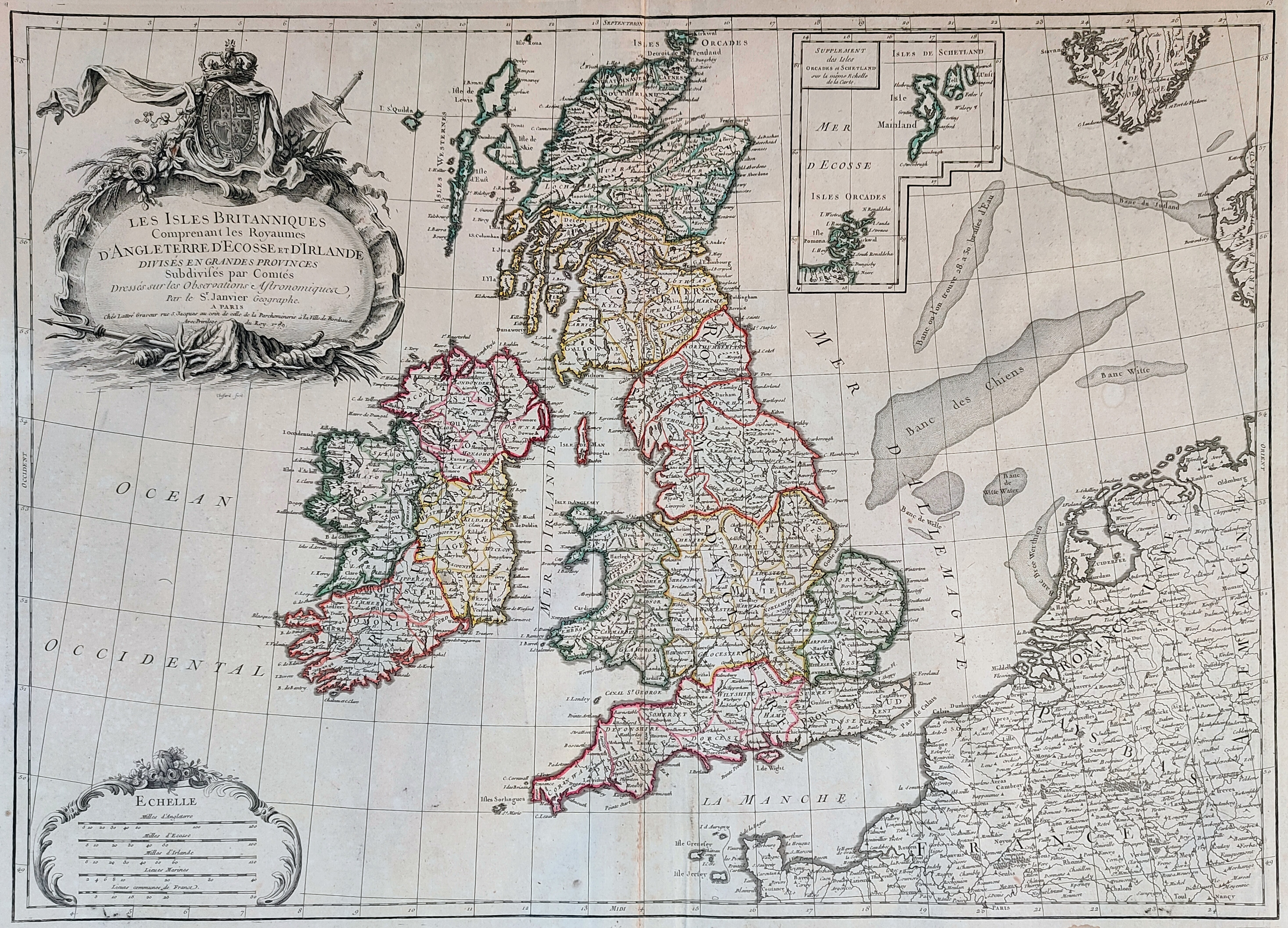
Map title
Les Iles Britanniques comprenant les Royaumes d'Angleterre ...
Author
Janvier
Location shown in map
England
Edition date
1784
Edition place
Venice
Editor
Atlas
Atlas Universel, dresse sur les meilleures cartes modernes
Price
250 Euro
State
[mint/EXCELLENT/very good/good/fair/mediocre/poor]
Color
Old colors
Verso
Blank
Size
Plate: cm (73 x 54) inches (28.74 x 21.26) Paper: cm (65 x 47) inches (25.59 x 18.5)
Technique
Copper engraving
Note
Reference
Wiki
Here for more info
In stock
Available
Info
info@thetreasuremaps.com
Code
#0920
×
![]()
Map title
Charte uber die XIII Vereinigte Staaten von Nord-America
Author
Homann
Location shown in map
USA
Edition date
1784
Edition place
Nuremberg
Editor
Atlas
Price
1300 Euro
State
[mint/EXCELLENT/very good/good/fair/mediocre/poor]
Color
Old colors
Verso
Blank
Size
Plate: cm (58 x 45) inches (22.83 x 17.72) Paper: cm (60 x 49) inches (23.62 x 19.29)
Technique
Copper engraving
Note
United States of America shortly after the revolution
Reference
Wiki
Here for more info
In stock
Available
Info
info@thetreasuremaps.com
Code
#1288
×
![]()
Map title
Emisfero Australe
Author
La Harpe
Location shown in map
South pole
Edition date
1785
Edition place
Italy
Editor
Prevost
Atlas
Compendio della Storia Generale de Viaggi
Price
300 Euro
State
[mint/EXCELLENT/very good/good/fair/mediocre/poor]
Color
Black/white
Verso
White
Size
Plate: cm (31.8 x 31.8) inches (12.52 x 12.52) Paper: cm (36.8 x 34.3) inches (14.49 x 13.5)
Technique
Copper engraving
Note
No particular notes for this maps.
Reference
--
Wiki
Here for more info
In stock
Available
Info
info@thetreasuremaps.com
Code
#0538
×
![]()
Map title
Tabula Italiae medii evi
Author
Giovanni Giacomo Spinelli
Location shown in map
Italy
Edition date
1785
Edition place
Milan
Editor
Atlas
Geschichte von Italien und allen allda gegrundeten altern und neuern Staaten
Price
350 Euro
State
[mint/EXCELLENT/very good/good/fair/mediocre/poor]
Color
Black/white
Verso
Blank
Size
Plate: cm (46 x 42) inches (18.11 x 16.54) Paper: cm (44 x 32) inches (17.32 x 12.6)
Technique
Copper engraving
Note
Reference
R.Borri L'Italia nelle antiche carte pag.216
Wiki
Here for more info
In stock
Available
Info
info@thetreasuremaps.com
Code
#0914
×
![]()
Map title
L'Europe
Author
Louise Brion De La Tour
Location shown in map
Europe
Edition date
1786
Edition place
Paris
Editor
--
Atlas
La geographie
Price
75 Euro
State
[mint/EXCELLENT/very good/good/fair/mediocre/poor]
Color
Black/white
Verso
Blank
Size
Plate: cm (25.4 x 22.9) inches (10 x 9.02) Paper: cm (27.9 x 25.4) inches (10.98 x 10)
Technique
Copper engraving
Note
No particular notes for this maps
Reference
--
Wiki
Here for more info
In stock
Available
Info
info@thetreasuremaps.com
Code
#0146
×
![]()
Map title
Plan de la Ville de Genes
Author
Joseph Jerome Lefrancois de Lalande
Location shown in map
Genoa
Edition date
1786
Edition place
Paris
Editor
Atlas
Vojage en Italie
Price
Please ask: info@thetreasuremaps.com
State
[MINT/excellent/very good/good/fair/mediocre/poor]
Color
Old colors
Verso
Blank
Size
Plate: cm (36 x 24) inches (14.17 x 9.45) Paper: cm (38 x 27) inches (14.96 x 10.63)
Technique
Copper engraving
Note
Reference
Wiki
Here for more info
In stock
Available
Info
info@thetreasuremaps.com
Code
#0979
×
![]()
Map title
Mappe Monde ou Carte Generale du Globe Terrestre
Author
Robert de Vaugondy
Location shown in map
World
Edition date
1786
Edition place
Paris
Editor
Delamarche
Atlas
Price
3000 Euro
State
[mint/EXCELLENT/very good/good/fair/mediocre/poor]
Color
Old colors
Verso
Blank
Size
Plate: cm (0 x 0) inches (0 x 0) Paper: cm (119 x 101) inches (46.85 x 39.76)
Technique
Copper engraving
Note
Framed, foldable map
Reference
Wiki
Here for more info
In stock
Available
Info
info@thetreasuremaps.com
Code
#1089
×
![]()
Map title
Plan de la ville de Genes
Author
De Lalande
Location shown in map
Genoa
Edition date
1786
Edition place
Paris
Editor
--
Atlas
Voyage en Italie
Price
200 Euro
State
[mint/EXCELLENT/very good/good/fair/mediocre/poor]
Color
Old colors
Verso
Blank
Size
Plate: cm (37 x 25) inches (14.57 x 9.84) Paper: cm (43 x 28) inches (16.93 x 11.02)
Technique
Copper engraving
Note
--
Reference
--
Wiki
Here for more info
In stock
Available
Info
info@thetreasuremaps.com
Code
#1151
×
![]()
Map title
L'Allemagne, la Boheme et la Hongrie avec une partie de la Pologne
Author
Bonne
Location shown in map
Germany
Edition date
1787
Edition place
Paris
Editor
--
Atlas
Atlas Encyclopedique
Price
Please ask: info@thetreasuremaps.com
State
[mint/excellent/very good/good/FAIR/mediocre/poor]
Color
Modern outlined
Verso
Blank
Size
Plate: cm (31.8 x 21) inches (12.52 x 8.27) Paper: cm (36.8 x 25.4) inches (14.49 x 10)
Technique
Copper engraving
Note
No particular notes for this maps
Reference
--
Wiki
Here for more info
In stock
Available
Info
info@thetreasuremaps.com
Code
#0167
×
![]()
Map title
Carte de France
Author
Bonne
Location shown in map
France
Edition date
1787
Edition place
Paris
Editor
--
Atlas
Atlas Encyclopedique
Price
Please ask: info@thetreasuremaps.com
State
[mint/excellent/very good/good/FAIR/mediocre/poor]
Color
Modern outlined
Verso
Blank
Size
Plate: cm (27.9 x 22.9) inches (10.98 x 9.02) Paper: cm (30.5 x 25.4) inches (12.01 x 10)
Technique
Copper engraving
Note
No particular notes for this maps
Reference
--
Wiki
Here for more info
In stock
Sold
Info
info@thetreasuremaps.com
Code
#0168
×
![]()
Map title
Carte De La Louisiane Et De La Floride
Author
Bonne
Location shown in map
--
Edition date
1787
Edition place
Paris
Editor
--
Atlas
Atlas Encyclopedique
Price
Please ask: info@thetreasuremaps.com
State
[mint/excellent/very good/GOOD/fair/mediocre/poor]
Color
Modern outlined
Verso
Blank
Size
Plate: cm (31.8 x 21) inches (12.52 x 8.27) Paper: cm (34.3 x 22.9) inches (13.5 x 9.02)
Technique
Copper engraving
Note
In the southeast is Florida and the eastern Atlantic coast reaching as far north as Charleston, South Carolina. In the northeast is part of Virginia. In the northwest corner is the Missouri river with several tributaries, including the Osage. The western part of the map is dominated by the Mississsippi river and it tributaries. The inset in the lower left shows the area of Jefferson City, Missouri where the Osage and Grand rivers flow into the Missouri.
Reference
--
Wiki
Here for more info
In stock
Sold
Info
info@thetreasuremaps.com
Code
#0394
×
![]()
Map title
Les Isle Antilles Et Le Golfe Du Mexique
Author
Bonne
Location shown in map
--
Edition date
1787
Edition place
Paris
Editor
--
Atlas
Atlas Encyclopedique
Price
Please ask: info@thetreasuremaps.com
State
[mint/excellent/very good/GOOD/fair/mediocre/poor]
Color
Modern outlined
Verso
Blank
Size
Plate: cm (31.8 x 21) inches (12.52 x 8.27) Paper: cm (36.8 x 25.4) inches (14.49 x 10)
Technique
Copper engraving
Note
No particular notes for this maps
Reference
--
Wiki
Here for more info
In stock
Sold
Info
info@thetreasuremaps.com
Code
#0395
×
![]()
Map title
Carte de l'Empire de Russie en Europe et en Asie
Author
Bonne
Location shown in map
Russie
Edition date
1787
Edition place
Paris
Editor
--
Atlas
Atlas Encyclopedique
Price
Please ask: info@thetreasuremaps.com
State
[mint/excellent/very good/good/FAIR/mediocre/poor]
Color
Modern outlined
Verso
Blank
Size
Plate: cm (31.8 x 21) inches (12.52 x 8.27) Paper: cm (36.8 x 25.4) inches (14.49 x 10)
Technique
Copper engraving
Note
No particular notes for this maps
Reference
--
Wiki
Here for more info
In stock
Sold
Info
info@thetreasuremaps.com
Code
#0397
×
![]()
Map title
L'Asie
Author
Bonne
Location shown in map
--
Edition date
1787
Edition place
Paris
Editor
--
Atlas
Atlas Encyclopedique
Price
Please ask: info@thetreasuremaps.com
State
[mint/EXCELLENT/very good/good/fair/mediocre/poor]
Color
Black/white
Verso
Blank
Size
Plate: cm (31.8 x 21) inches (12.52 x 8.27) Paper: cm (40.6 x 26.7) inches (15.98 x 10.51)
Technique
Copper engraving
Note
Fine map of the continent including Japan, Philippines, Indonesia and northern tip of Australia.
Reference
--
Wiki
Here for more info
In stock
Sold
Info
info@thetreasuremaps.com
Code
#0398
×
![]()
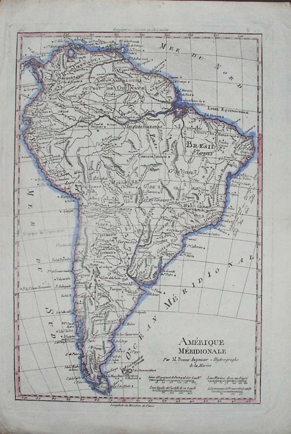
Map title
Amerique Meridionale
Author
Bonne
Location shown in map
--
Edition date
1787
Edition place
Paris
Editor
--
Atlas
Atlas Encyclopedique
Price
Please ask: info@thetreasuremaps.com
State
[mint/excellent/very good/GOOD/fair/mediocre/poor]
Color
Modern outlined
Verso
Blank
Size
Plate: cm (31.8 x 21) inches (12.52 x 8.27) Paper: cm (31.8 x 21) inches (12.52 x 8.27)
Technique
Copper engraving
Note
No particular notes for this maps
Reference
--
Wiki
Here for more info
In stock
Sold
Info
info@thetreasuremaps.com
Code
#0399
×
![]()
Map title
L'Allemagne, la Boheme et la Hongrie avec une partie de la Pologne
Author
Bonne
Location shown in map
--
Edition date
1787
Edition place
Paris
Editor
--
Atlas
Atlas Encyclopedique
Price
Please ask: info@thetreasuremaps.com
State
[mint/excellent/VERY GOOD/good/fair/mediocre/poor]
Color
Black/white
Verso
Blank
Size
Plate: cm (31.8 x 21) inches (12.52 x 8.27) Paper: cm (36.8 x 25.4) inches (14.49 x 10)
Technique
Copper engraving
Note
No particular notes for this maps
Reference
--
Wiki
Here for more info
In stock
Sold
Info
info@thetreasuremaps.com
Code
#0426
×
![]()
Map title
Governament de la Bretagne
Author
Bonne
Location shown in map
--
Edition date
1787
Edition place
Paris
Editor
--
Atlas
Atlas Encyclopedique
Price
Please ask: info@thetreasuremaps.com
State
[mint/excellent/VERY GOOD/good/fair/mediocre/poor]
Color
Black/white
Verso
Blank
Size
Plate: cm (31.8 x 21) inches (12.52 x 8.27) Paper: cm (36.8 x 25.4) inches (14.49 x 10)
Technique
Copper engraving
Note
No particular notes for this maps
Reference
--
Wiki
Here for more info
In stock
Sold
Info
info@thetreasuremaps.com
Code
#0427
×
![]()
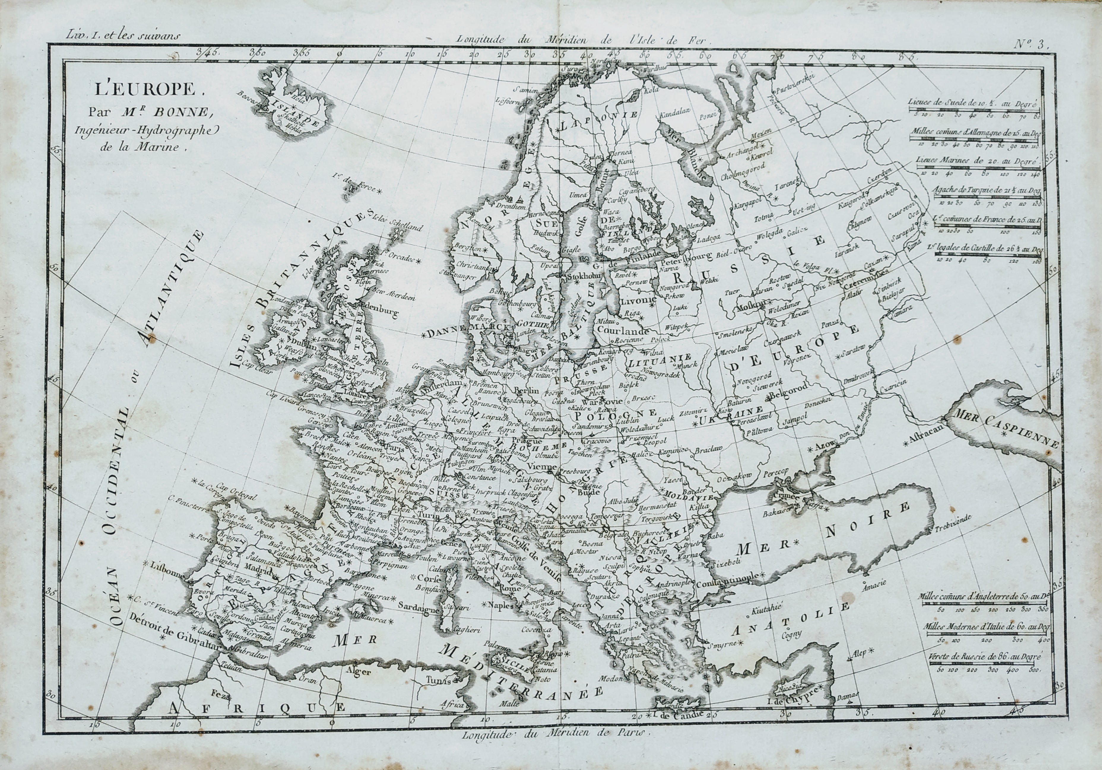
Map title
L'Europe
Author
Bonne
Location shown in map
Europe
Edition date
1787
Edition place
Paris
Editor
--
Atlas
Atlas Encyclopedique
Price
Please ask: info@thetreasuremaps.com
State
[mint/EXCELLENT/very good/good/fair/mediocre/poor]
Color
Black/white
Verso
Blank
Size
Plate: cm (31.8 x 21) inches (12.52 x 8.27) Paper: cm (35.6 x 25.4) inches (14.02 x 10)
Technique
Copper engraving
Note
--
Reference
--
Wiki
Here for more info
In stock
Available
Info
info@thetreasuremaps.com
Code
#0443
×
![]()
Map title
Carte du Chili depuis le sud du Perou jusqu'au cap Horn
Author
Bonne
Location shown in map
--
Edition date
1787
Edition place
Paris
Editor
--
Atlas
Atlas Encyclopedique
Price
Please ask: info@thetreasuremaps.com
State
[mint/excellent/very good/GOOD/fair/mediocre/poor]
Color
Modern outlined
Verso
Blank
Size
Plate: cm (31.8 x 21) inches (12.52 x 8.27) Paper: cm (31.8 x 21) inches (12.52 x 8.27)
Technique
Copper engraving
Note
No particular notes for this maps
Reference
--
Wiki
Here for more info
In stock
Sold
Info
info@thetreasuremaps.com
Code
#0461
×
![]()
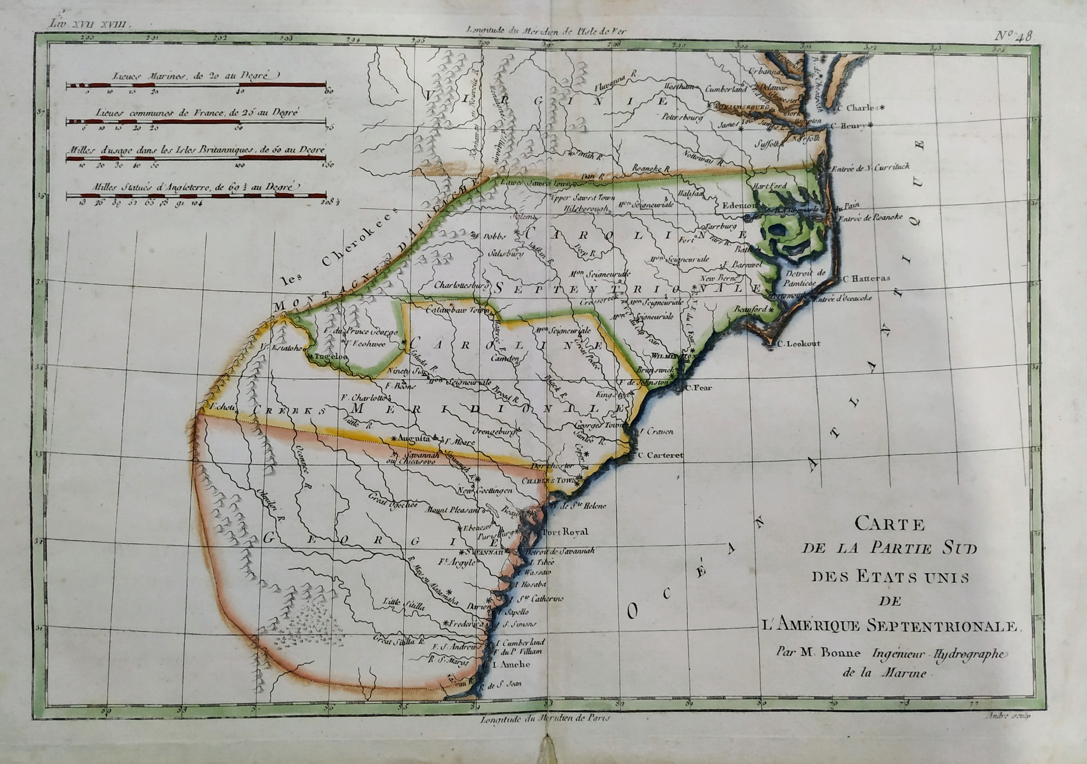
Map title
Carte De La Partie Sud, Des Etats Unis de L' Amerique Septentrionale
Author
Bonne
Location shown in map
East United States
Edition date
1787
Edition place
Paris
Editor
--
Atlas
Atlas Encyclopedique
Price
175 Euro
State
[mint/EXCELLENT/very good/good/fair/mediocre/poor]
Color
Old colors
Verso
Blank
Size
Plate: cm (31 x 21) inches (12.2 x 8.27) Paper: cm (36 x 25) inches (14.17 x 9.84)
Technique
Copper engraving
Note
No particular notes for this maps
Reference
--
Wiki
Here for more info
In stock
Available
Info
info@thetreasuremaps.com
Code
#0724
×
![]()
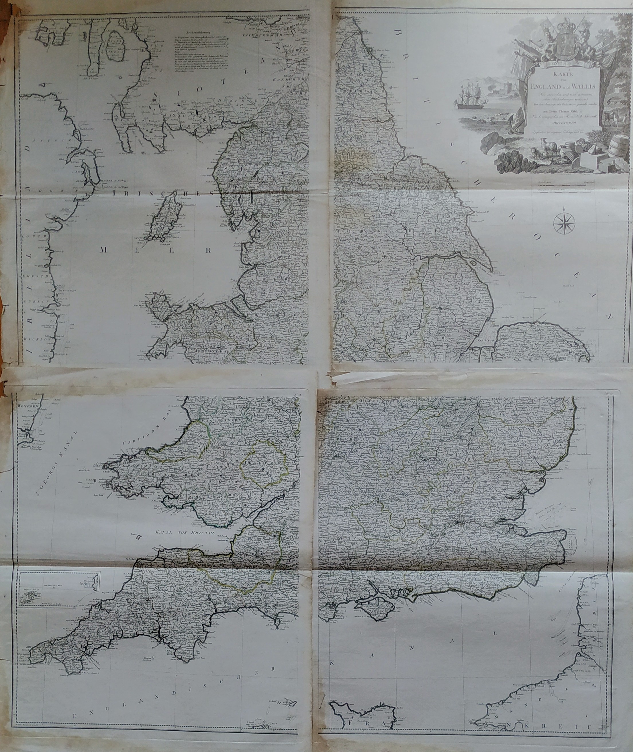
Map title
Karte von England und Wallis
Author
Thomas Kitchin
Location shown in map
England
Edition date
1787
Edition place
Wien
Editor
Atlas
Price
350 Euro
State
[mint/EXCELLENT/very good/good/fair/mediocre/poor]
Color
Black/white
Verso
Blank
Size
Plate: cm (0 x 0) inches (0 x 0) Paper: cm (0 x 0) inches (0 x 0)
Technique
Copper engraving
Note
Reference
Wiki
Here for more info
In stock
Available
Info
info@thetreasuremaps.com
Code
#0826
×
![]()
Map title
Mappemonde
Author
Bonne
Location shown in map
Polar antarctic regions
Edition date
1787
Edition place
Paris
Editor
Atlas
Atlas Encyclopedique
Price
150 Euro
State
[mint/EXCELLENT/very good/good/fair/mediocre/poor]
Color
Old colors
Verso
Blank
Size
Plate: cm (34 x 23) inches (13.39 x 9.06) Paper: cm (47 x 32) inches (18.5 x 12.6)
Technique
Copper engraving
Note
Reference
Wiki
Here for more info
In stock
Available
Info
info@thetreasuremaps.com
Code
#0848
×
![]()
Map title
L'Italie
Author
Bonne
Location shown in map
Italy
Edition date
1787
Edition place
Paris
Editor
Atlas
Atlas Encyclopedique
Price
125 Euro
State
[mint/EXCELLENT/very good/good/fair/mediocre/poor]
Color
Black/white
Verso
Blank
Size
Plate: cm (22 x 35) inches (8.66 x 13.78) Paper: cm (25 x 37) inches (9.84 x 14.57)
Technique
Copper engraving
Note
Reference
Wiki
Here for more info
In stock
Available
Info
info@thetreasuremaps.com
Code
#0931
×
![]()
Map title
Plan de Belgrade capitale de la Servie, avec ses nouvelles fortifications.
Author
Unknown
Location shown in map
--
Edition date
1788
Edition place
Paris
Editor
--
Atlas
--
Price
Please ask: info@thetreasuremaps.com
State
[mint/EXCELLENT/very good/good/fair/mediocre/poor]
Color
Old colors
Verso
Blank
Size
Plate: cm (44.4 x 55.9) inches (17.48 x 22.01) Paper: cm (53.3 x 71.1) inches (20.98 x 27.99)
Technique
--
Note
No particular notes for this maps
Reference
--
Wiki
Here for more info
In stock
Sold
Info
info@thetreasuremaps.com
Code
#0441
×
![]()
Map title
Mapa de la Parte del Norte Del Mar Del Sur
Author
Pedro de Gongora
Location shown in map
North Pacific
Edition date
1788
Edition place
Madrid
Editor
D. Antonio de Sancha
Atlas
Price
200 Euro
State
[mint/EXCELLENT/very good/good/fair/mediocre/poor]
Color
Black/white
Verso
Blank
Size
Plate: cm (34 x 24) inches (13.39 x 9.45) Paper: cm (36 x 29) inches (14.17 x 11.42)
Technique
Copper engraving
Note
Reference
--
Wiki
Here for more info
In stock
Available
Info
info@thetreasuremaps.com
Code
#1001
×
![]()
Map title
Carte generale des Postes d'Italie ...
Author
Location shown in map
Italy
Edition date
1788
Edition place
Paris
Editor
Atlas
Price
350 Euro
State
[mint/EXCELLENT/very good/good/fair/mediocre/poor]
Color
Black/white
Verso
Blank
Size
Plate: cm (78 x 51) inches (30.71 x 20.08) Paper: cm (78 x 51) inches (30.71 x 20.08)
Technique
Copper engraving
Note
Reference
R.Borri L'Italia nelle antiche carte pag.227
Wiki
Here for more info
In stock
Available
Info
info@thetreasuremaps.com
Code
#1169
×
![]()
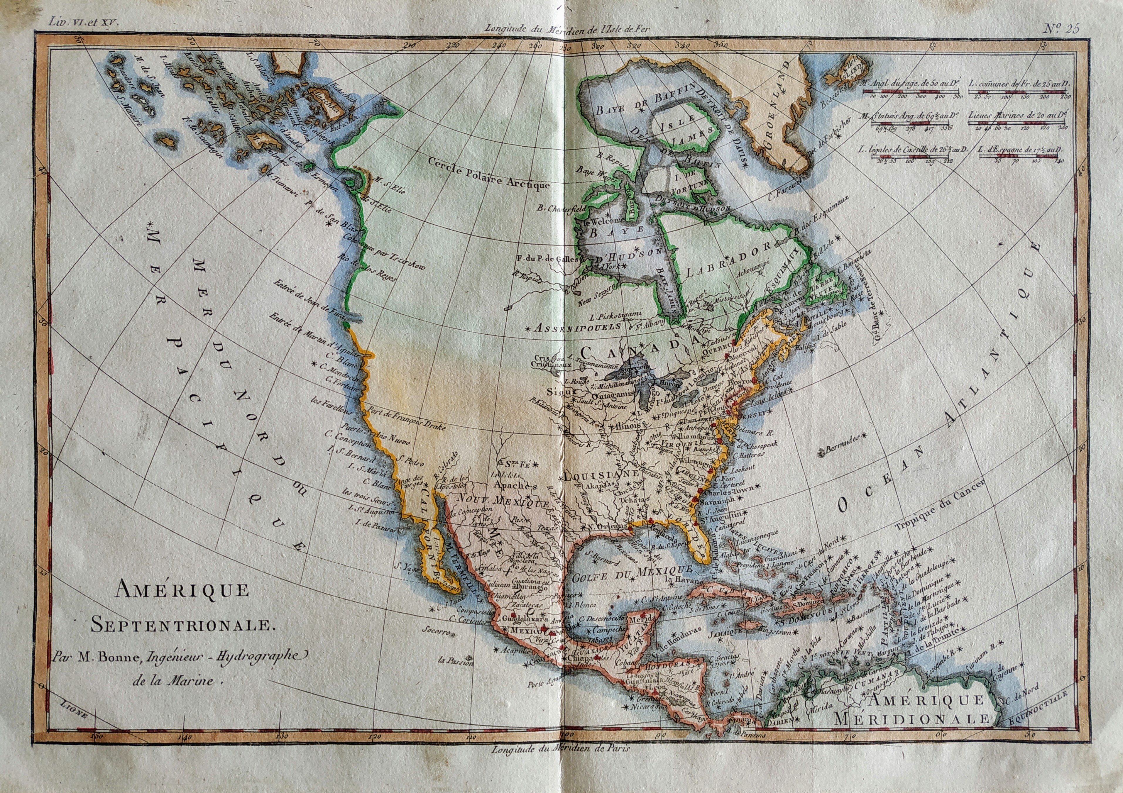
Map title
Amerique Septentrionale
Author
Bonne
Location shown in map
North America
Edition date
1789
Edition place
Paris
Editor
Atlas
Atlas Encyclopedique
Price
175 Euro
State
[mint/EXCELLENT/very good/good/fair/mediocre/poor]
Color
Old colors
Verso
Blank
Size
Plate: cm (32 x 22) inches (12.6 x 8.66) Paper: cm (36 x 25) inches (14.17 x 9.84)
Technique
Copper engraving
Note
Reference
Wiki
Here for more info
In stock
Available
Info
info@thetreasuremaps.com
Code
#0815
×
![]()
Map title
Carte d'Europe
Author
Delisle
Location shown in map
Europe
Edition date
1789
Edition place
Paris
Editor
Dezauche
Atlas
Price
200 Euro
State
[mint/EXCELLENT/very good/good/fair/mediocre/poor]
Color
Old color
Verso
Blank
Size
Plate: cm (61 x 50) inches (24.02 x 19.69) Paper: cm (76 x 53) inches (29.92 x 20.87)
Technique
Copper engraving
Note
Reference
Wiki
Here for more info
In stock
Available
Info
info@thetreasuremaps.com
Code
#0784
×
![]()
Map title
Carte generale des toutes les parties connues
Author
Bonne
Location shown in map
World
Edition date
1789
Edition place
Paris
Editor
Atlas
Atlas Encyclopedique
Price
150 Euro
State
[mint/EXCELLENT/very good/good/fair/mediocre/poor]
Color
Black/white
Verso
Blank
Size
Plate: cm (34 x 23) inches (13.39 x 9.06) Paper: cm (40 x 28) inches (15.75 x 11.02)
Technique
Copper engraving
Note
Reference
Wiki
Here for more info
In stock
Available
Info
info@thetreasuremaps.com
Code
#0779
×
![]()
Map title
Asia, secondo le ultime osservazioni dell'accademia reale delle scienze
Author
Buffier
Location shown in map
Asia
Edition date
1790
Edition place
Rome
Editor
--
Atlas
Geographie universelle, italian edition.
Price
75 Euro
State
[mint/EXCELLENT/very good/good/fair/mediocre/poor]
Color
Black/white
Verso
Blank
Size
Plate: cm (17.8 x 13.3) inches (7.01 x 5.24) Paper: cm (19.7 x 16.5) inches (7.76 x 6.5)
Technique
Copper engraving
Note
Claude Buffier was a Jesuit theologian and geographer working in Paris, who wrote the Geographie Universelle, first issued in about 1715. The Geographie was issued as a pocket-sized volume, illustrated with a set of maps.The volume proved very popular, and numerous editions were published in Paris, Naples and Rome. The book was evidently targeted at the popular market, and for this reason examples of the book tend to be printed on relatively poor quality paper, and this is particularly true of the Italian editions.Evidently there were a large number of different sets of map plates used - so far 17 different plates or states of plates have been identified for the Americas map, some engraved anonymously, and other signed by Hendrick van Loon, Faure, Denise Macquart and Dom. Dell'Acerra Unfortunately, it has been frequent practice to disperse such volumes, so the origin of several of these plates has not yet been identified, and the editor would be grateful to hear from readers about editions of the book, particularly those containing maps engraved by Denise Macquart and Dom. Dell'Acerra.[http://www.mapforum.com]
Reference
--
Wiki
Here for more info
In stock
Available
Info
info@thetreasuremaps.com
Code
#0220
×
![]()
Map title
Africa, secondo le ultime osservazioni dell'accademia reale delle scienze
Author
Buffier
Location shown in map
Africa
Edition date
1790
Edition place
Rome
Editor
--
Atlas
Geographie universelle, italian edition.
Price
125 Euro
State
[mint/EXCELLENT/very good/good/fair/mediocre/poor]
Color
Black/white
Verso
Blank
Size
Plate: cm (17.8 x 14) inches (7.01 x 5.51) Paper: cm (24.1 x 20.3) inches (9.49 x 7.99)
Technique
Copper engraving
Note
Claude Buffier was a Jesuit theologian and geographer working in Paris, who wrote the Geographie Universelle, first issued in about 1715. The Geographie was issued as a pocket-sized volume, illustrated with a set of maps.The volume proved very popular, and numerous editions were published in Paris, Naples and Rome. The book was evidently targeted at the popular market, and for this reason examples of the book tend to be printed on relatively poor quality paper, and this is particularly true of the Italian editions.Evidently there were a large number of different sets of map plates used - so far 17 different plates or states of plates have been identified for the Americas map, some engraved anonymously, and other signed by Hendrick van Loon, Faure, Denise Macquart and Dom. Dell'Acerra Unfortunately, it has been frequent practice to disperse such volumes, so the origin of several of these plates has not yet been identified, and the editor would be grateful to hear from readers about editions of the book, particularly those containing maps engraved by Denise Macquart and Dom. Dell'Acerra.
Reference
--
Wiki
Here for more info
In stock
Available
Info
info@thetreasuremaps.com
Code
#0298
×
![]()
Map title
America, secondo le ultime osservazioni dell'accademia reale delle scienze
Author
Buffier
Location shown in map
America
Edition date
1790
Edition place
Rome
Editor
--
Atlas
Geographie universelle, italian edition.
Price
Please ask: info@thetreasuremaps.com
State
[mint/excellent/very good/GOOD/fair/mediocre/poor]
Color
Black/white
Verso
Blank
Size
Plate: cm (14 x 17.8) inches (5.51 x 7.01) Paper: cm (15.2 x 19) inches (5.98 x 7.48)
Technique
Copper engraving
Note
Claude Buffier was a Jesuit theologian and geographer working in Paris, who wrote the Geographie Universelle, first issued in about 1715. The Geographie was issued as a pocket-sized volume, illustrated with a set of maps.The volume proved very popular, and numerous editions were published in Paris, Naples and Rome. The book was evidently targeted at the popular market, and for this reason examples of the book tend to be printed on relatively poor quality paper, and this is particularly true of the Italian editions.Evidently there were a large number of different sets of map plates used - so far 17 different plates or states of plates have been identified for the Americas map, some engraved anonymously, and other signed by Hendrick van Loon, Faure, Denise Macquart and Dom. Dell'Acerra Unfortunately, it has been frequent practice to disperse such volumes, so the origin of several of these plates has not yet been identified, and the editor would be grateful to hear from readers about editions of the book, particularly those containing maps engraved by Denise Macquart and Dom. Dell'Acerra.
Reference
--
Wiki
Here for more info
In stock
Sold
Info
info@thetreasuremaps.com
Code
#0384
×
![]()
Map title
America Settentrionale
Author
Sanson
Location shown in map
North America
Edition date
Circa 1790
Edition place
Editor
--
Atlas
Geographie universelle, italian edition.
Price
125 Euro
State
[mint/EXCELLENT/very good/good/fair/mediocre/poor]
Color
Black/white
Verso
Blank
Size
Plate: cm (22 x 16) inches (8.66 x 6.3) Paper: cm (25 x 20) inches (9.84 x 7.87)
Technique
Copper engraving
Note
Claude Buffier was a Jesuit theologian and geographer working in Paris, who wrote the Geographie Universelle, first issued in about 1715. The Geographie was issued as a pocket-sized volume, illustrated with a set of maps.The volume proved very popular, and numerous editions were published in Paris, Naples and Rome. The book was evidently targeted at the popular market, and for this reason examples of the book tend to be printed on relatively poor quality paper, and this is particularly true of the Italian editions.Evidently there were a large number of different sets of map plates used - so far 17 different plates or states of plates have been identified for the Americas map, some engraved anonymously, and other signed by Hendrick van Loon, Faure, Denise Macquart and Dom. Dell'Acerra Unfortunately, it has been frequent practice to disperse such volumes, so the origin of several of these plates has not yet been identified, and the editor would be grateful to hear from readers about editions of the book, particularly those containing maps engraved by Denise Macquart and Dom. Dell'Acerra.
Reference
--
Wiki
Here for more info
In stock
Available
Info
info@thetreasuremaps.com
Code
#0941
×
![]()
Map title
America Meridionale
Author
Sanson
Location shown in map
South America
Edition date
Circa 1790
Edition place
Editor
--
Atlas
Geographie universelle, italian edition.
Price
125 Euro
State
[mint/EXCELLENT/very good/good/fair/mediocre/poor]
Color
Black/white
Verso
Blank
Size
Plate: cm (18 x 21) inches (7.09 x 8.27) Paper: cm (20 x 24) inches (7.87 x 9.45)
Technique
Copper engraving
Note
Claude Buffier was a Jesuit theologian and geographer working in Paris, who wrote the Geographie Universelle, first issued in about 1715. The Geographie was issued as a pocket-sized volume, illustrated with a set of maps.The volume proved very popular, and numerous editions were published in Paris, Naples and Rome. The book was evidently targeted at the popular market, and for this reason examples of the book tend to be printed on relatively poor quality paper, and this is particularly true of the Italian editions.Evidently there were a large number of different sets of map plates used - so far 17 different plates or states of plates have been identified for the Americas map, some engraved anonymously, and other signed by Hendrick van Loon, Faure, Denise Macquart and Dom. Dell'Acerra Unfortunately, it has been frequent practice to disperse such volumes, so the origin of several of these plates has not yet been identified, and the editor would be grateful to hear from readers about editions of the book, particularly those containing maps engraved by Denise Macquart and Dom. Dell'Acerra.
Reference
--
Wiki
Here for more info
In stock
Available
Info
info@thetreasuremaps.com
Code
#0942
×
![]()
Map title
Stati uniti di America
Author
Unknown
Location shown in map
--
Edition date
1795
Edition place
Venice
Editor
--
Atlas
Compendio di geografia di Guthrie.
Price
125 Euro
State
[mint/EXCELLENT/very good/good/fair/mediocre/poor]
Color
Old outlined
Verso
Blank
Size
Plate: cm (20.3 x 17.8) inches (7.99 x 7.01) Paper: cm (20.3 x 17.8) inches (7.99 x 7.01)
Technique
Copper engraving
Note
This map shows the United States before the aquisition of Florida.
Reference
--
Wiki
Here for more info
In stock
Available
Info
info@thetreasuremaps.com
Code
#0083
×
![]()
Map title
L'Amerique
Author
Robert de Vaugondy
Location shown in map
Americas
Edition date
1795
Edition place
Paris
Editor
Delamarche
Atlas
Atlas Portatif de Vaugondy
Price
100 Euro
State
[MINT/excellent/very good/good/fair/mediocre/poor]
Color
Old color
Verso
Blank
Size
Plate: cm (22 x 24) inches (8.66 x 9.45) Paper: cm (37 x 30) inches (14.57 x 11.81)
Technique
Copper engraving
Note
Reference
--
Wiki
Here for more info
In stock
Available
Info
info@thetreasuremaps.com
Code
#0752
×
![]()
Map title
L'Italie
Author
Robert de Vaugondy
Location shown in map
Italy
Edition date
1795
Edition place
Paris
Editor
Atlas
Atlas portatif universel et militaire
Price
125 Euro
State
[mint/EXCELLENT/very good/good/fair/mediocre/poor]
Color
Old colors
Verso
Blank
Size
Plate: cm (37 x 26) inches (14.57 x 10.24) Paper: cm (44 x 32) inches (17.32 x 12.6)
Technique
Copper engraving
Note
Reference
--
Wiki
Here for more info
In stock
Available
Info
info@thetreasuremaps.com
Code
#0821
×
![]()
Map title
Carte Physique de L'Italie
Author
Tardieu
Location shown in map
Italy
Edition date
1797
Edition place
Paris
Editor
--
Atlas
Atlas Universel de Geographie Physique et Politique
Price
200 Euro
State
[mint/EXCELLENT/very good/good/fair/mediocre/poor]
Color
Old colors
Verso
Blank
Size
Plate: cm (44 x 33) inches (17.32 x 12.99) Paper: cm (64 x 50) inches (25.2 x 19.69)
Technique
Steel engraving
Note
Reference
Wiki
Here for more info
In stock
Available
Info
info@thetreasuremaps.com
Code
#0958
×
![]()