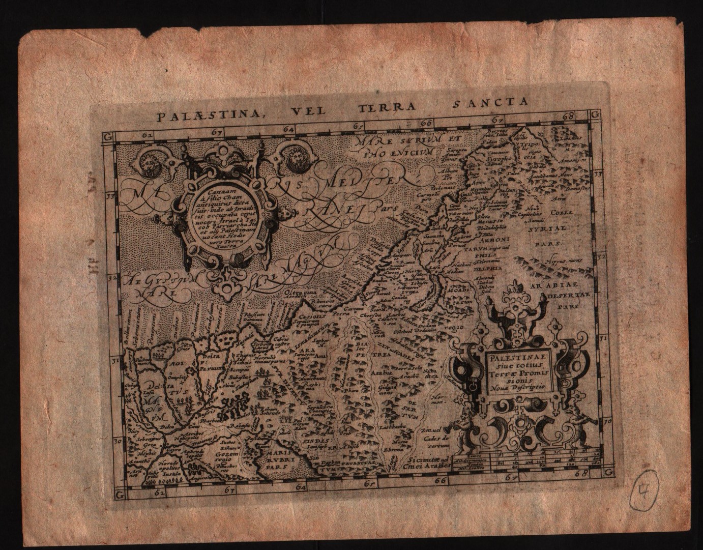
- Edition place
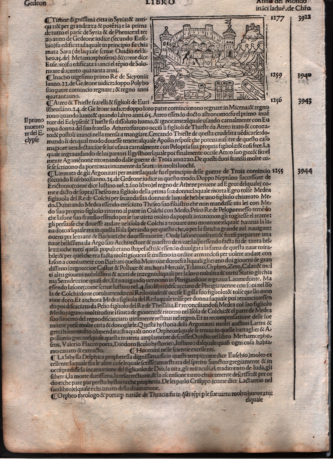
- Venice
- Editor
- Georgii de Rusconibus
- Atlas
- Supplementum supplementi cronicarum
- State
- [MINT/excellent/very good/good/fair/mediocre/poor]
- Color
- Black/white
- Verso
- Italian text
- Size
- Plate: cm (7.6 × 6.4) in (2.99 × 2.52) · Paper: cm (21.6 × 30.5) in (8.5 × 12.01)
- Technique
- Woodcut
- Note
- No particular notes for this maps.
- Reference
- --
- In stock
- Available
- Code
- #0004
Tap the map to enlarge · scroll when zoomed · pinch to zoom on phone
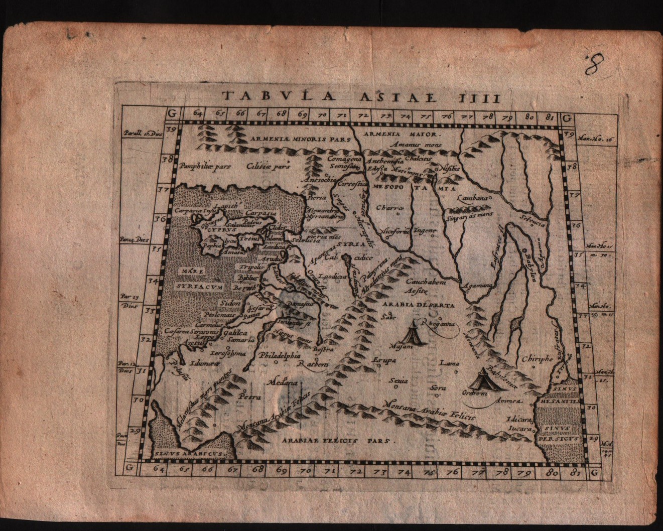
- Edition place
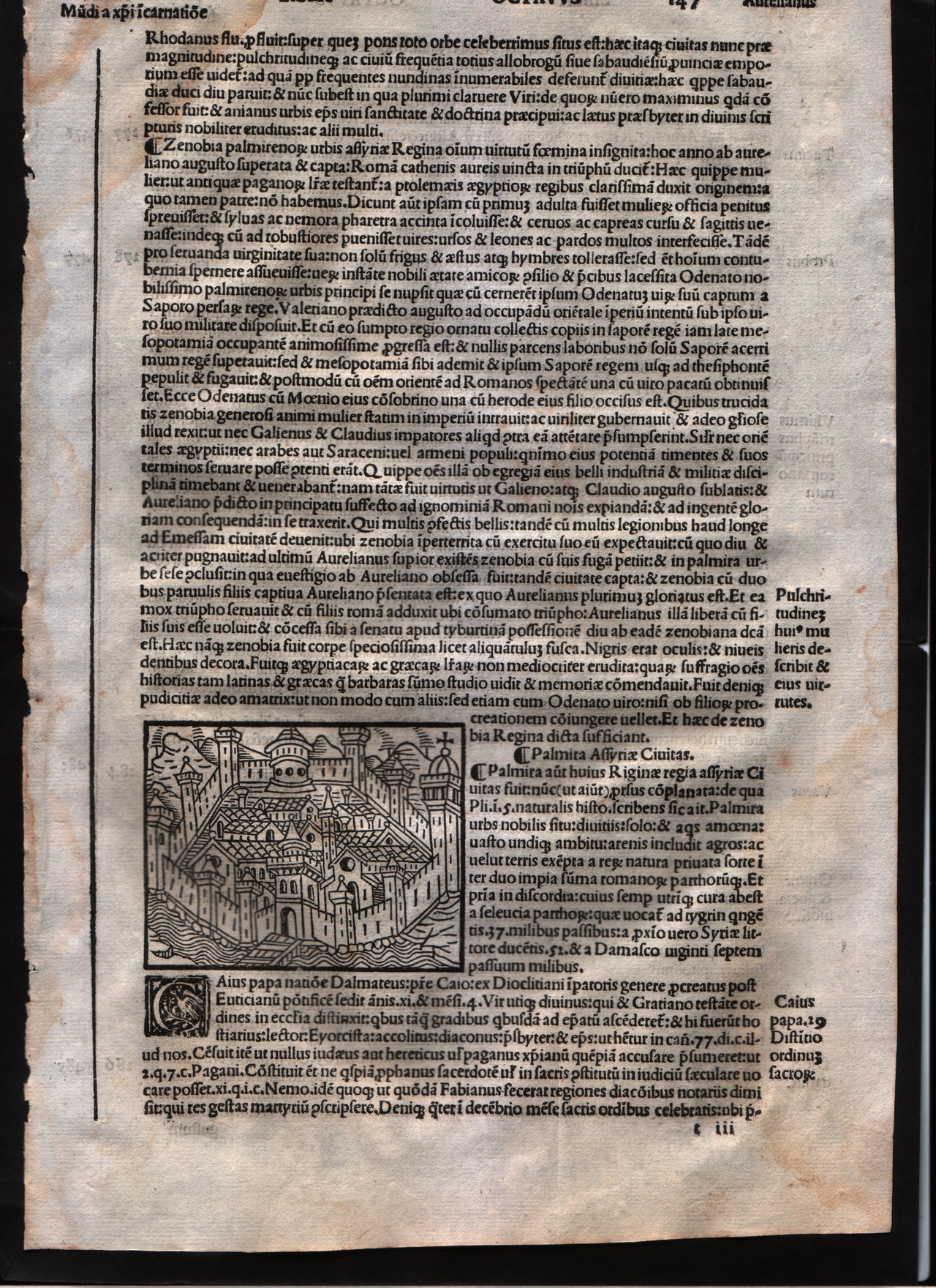
- Venice
- Editor
- Georgii de Rusconibus
- Atlas
- Supplementum supplementi cronicarum
- State
- [MINT/excellent/very good/good/fair/mediocre/poor]
- Color
- Black/white
- Verso
- Latin text
- Size
- Plate: cm (7.6 × 6.4) in (2.99 × 2.52) · Paper: cm (20.3 × 29.2) in (7.99 × 11.5)
- Technique
- Woodcut
- Note
- No particular notes for this maps.
- Reference
- --
- In stock
- Available
- Code
- #0008
Tap the map to enlarge · scroll when zoomed · pinch to zoom on phone
- Edition place
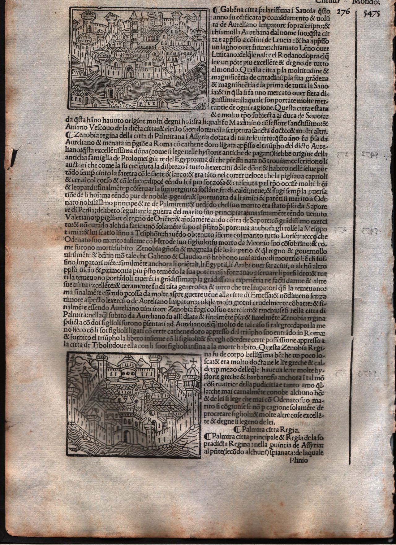
- Venice
- Editor
- Georgii de Rusconibus
- Atlas
- Supplementum supplementi cronicarum
- State
- [MINT/excellent/very good/good/fair/mediocre/poor]
- Color
- Black/white
- Verso
- Italian text
- Size
- Plate: cm (7.6 × 6.4) in (2.99 × 2.52) · Paper: cm (20.3 × 30.5) in (7.99 × 12.01)
- Technique
- Woodcut
- Note
- No particular notes for this maps.
- Reference
- --
- In stock
- Available
- Code
- #0009
Tap the map to enlarge · scroll when zoomed · pinch to zoom on phone
- Edition place
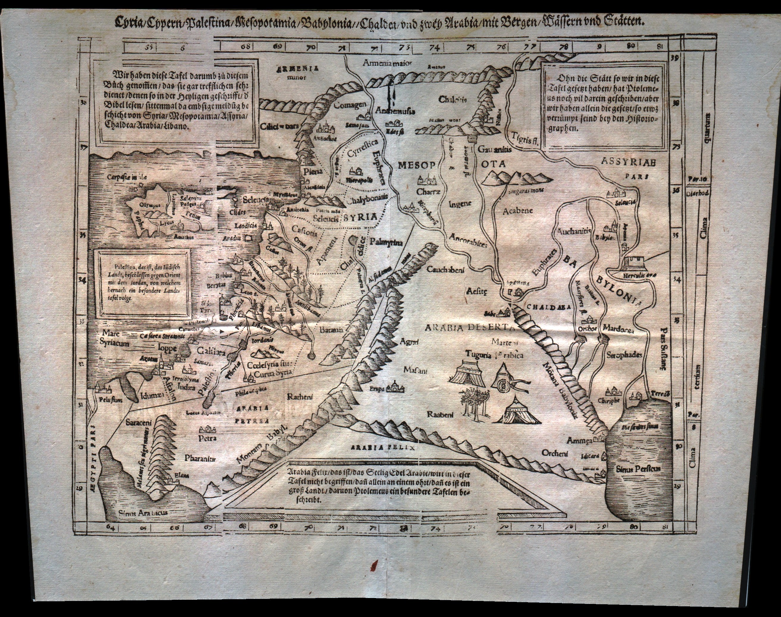
- Basel
- Editor
- Henrich Petri
- Atlas
- Cosmographia Universalis
- Price
- 300 Euro
- State
- [mint/excellent/very good/GOOD/fair/mediocre/poor]
- Color
- Black/white
- Verso
- German text
- Size
- Plate: cm (34.3 × 25.4) in (13.5 × 10) · Paper: cm (40.6 × 31.8) in (15.98 × 12.52)
- Technique
- Woodcut
- Note
- Middle East from the Nile Delta to the southern coast of Turkey. Tabulae Asiae IV.
- Reference
- --
- In stock
- Available
- Code
- #0178
Tap the map to enlarge · scroll when zoomed · pinch to zoom on phone
- Edition place
- Colonia
- Editor
- Petrus Keschedt
- Atlas
- Geografia di Claudio Tolomeo -- Giovanni Antonio Magini
- State
- [mint/EXCELLENT/very good/good/fair/mediocre/poor]
- Color
- Black/white
- Verso
- Latin text pag.19
- Size
- Plate: cm (17.8 × 12.7) in (7.01 × 5) · Paper: cm (22.9 × 16.5) in (9.02 × 6.5)
- Technique
- Copper engraving
- Note
- Maps pirated from those of Girolamo Poro in Magini's edition.
- Reference
- --
- In stock
- Available
- Code
- #0513
Tap the map to enlarge · scroll when zoomed · pinch to zoom on phone
- Edition place
- Colonia
- Editor
- Petrus Keschedt
- Atlas
- Geografia di Claudio Tolomeo -- Giovanni Antonio Magini
- State
- [mint/EXCELLENT/very good/good/fair/mediocre/poor]
- Color
- Black/white
- Verso
- Latin text pag.240
- Size
- Plate: cm (17.8 × 12.7) in (7.01 × 5) · Paper: cm (22.9 × 16.5) in (9.02 × 6.5)
- Technique
- Copper engraving
- Note
- Maps pirated from those of Girolamo Poro in Magini's edition.
- Reference
- --
- In stock
- Available
- Code
- #0515
Tap the map to enlarge · scroll when zoomed · pinch to zoom on phone
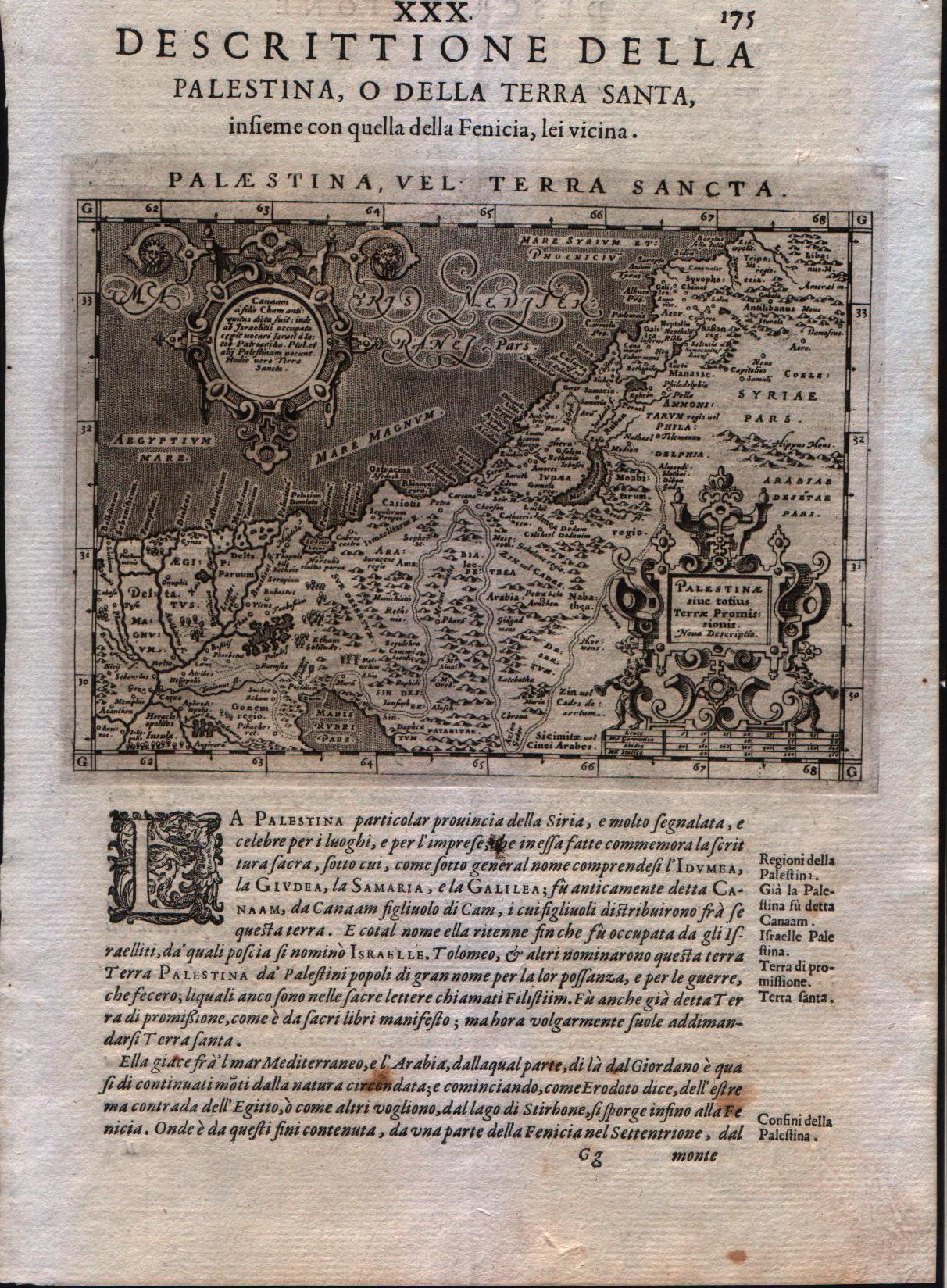
- Edition place
- Venice
- Editor
- Battista & Giorgio Galignani
- Atlas
- Geografia di Claudio Tolomeo -- Giovanni Antonio Magini
- Price
- 200 Euro
- State
- [MINT/excellent/very good/good/fair/mediocre/poor]
- Color
- Black/white
- Verso
- Italian text pag 175
- Size
- Plate: cm (12.7 × 17.8) in (5 × 7.01) · Paper: cm (20.3 × 30.5) in (7.99 × 12.01)
- Technique
- Copper engraving
- Note
- Magini's modern map of the Holy Land.
- Reference
- --
- In stock
- Available
- Code
- #0210
Tap the map to enlarge · scroll when zoomed · pinch to zoom on phone
- Edition place
- Leipzig
- Editor
- --
- Atlas
- Geographia Antiqua
- State
- [mint/EXCELLENT/very good/good/fair/mediocre/poor]
- Color
- Black/white
- Verso
- Blank
- Size
- Plate: cm (30.5 × 20.3) in (12.01 × 7.99) · Paper: cm (36.8 × 24.1) in (14.49 × 9.49)
- Technique
- Copper engraving
- Note
- No particular notes for this maps
- Reference
- --
- In stock
- Sold
- Code
- #0221
Tap the map to enlarge · scroll when zoomed · pinch to zoom on phone
La Palestine
Le Rouge · -- · 1748
- Edition place
- Paris
- Editor
- --
- Atlas
- Atlas Nouveau Portatif l'usage des militaries et du voyageur
- State
- [mint/EXCELLENT/very good/good/fair/mediocre/poor]
- Color
- Old outlined
- Verso
- Blank
- Size
- Plate: cm (20.3 × 27.9) in (7.99 × 10.98) · Paper: cm (24.1 × 34.9) in (9.49 × 13.74)
- Technique
- Copper engraving
- Note
- No particular notes for this maps
- Reference
- --
- Wiki
- --
- In stock
- Sold
- Code
- #0392
Tap the map to enlarge · scroll when zoomed · pinch to zoom on phone
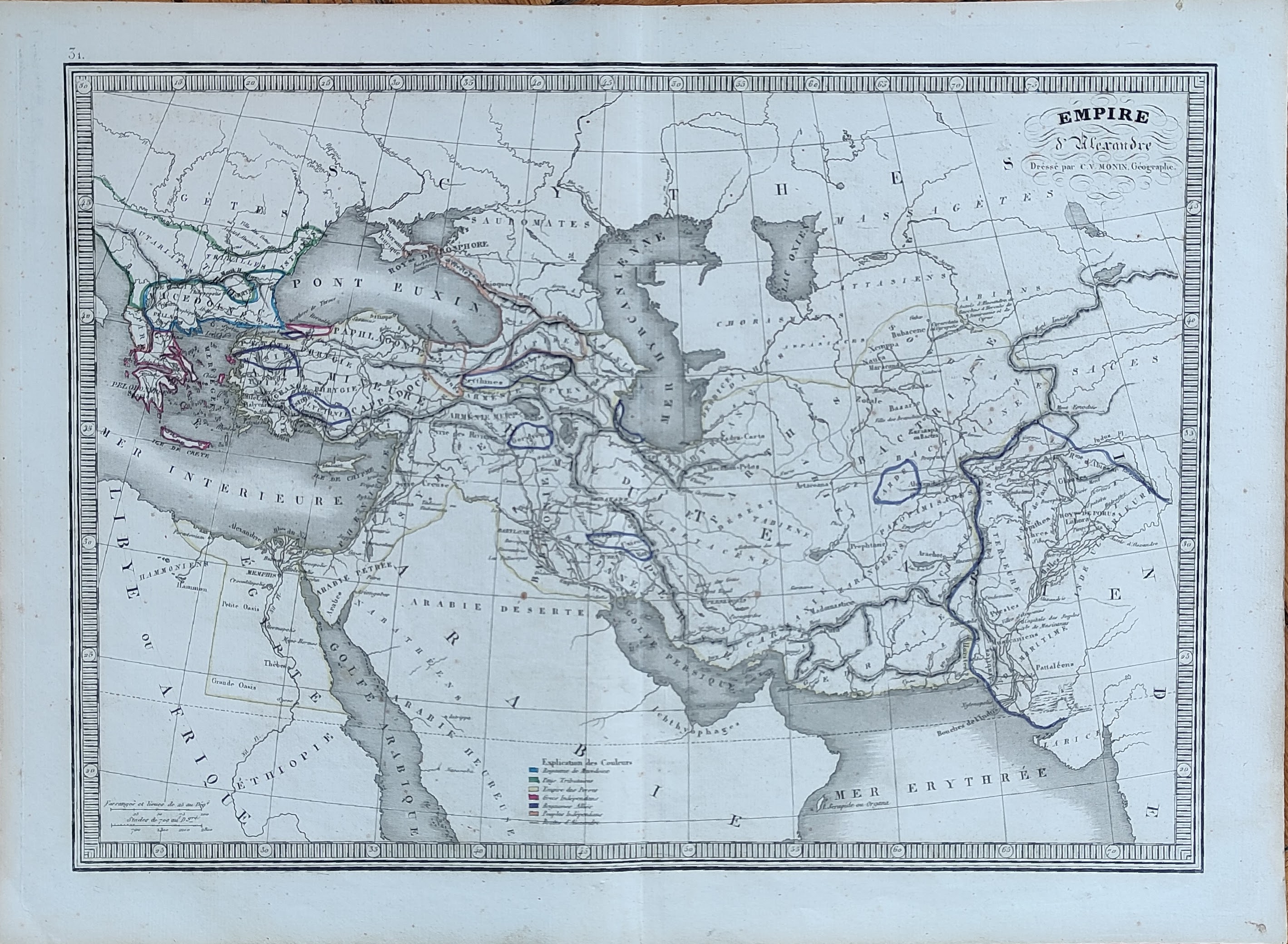
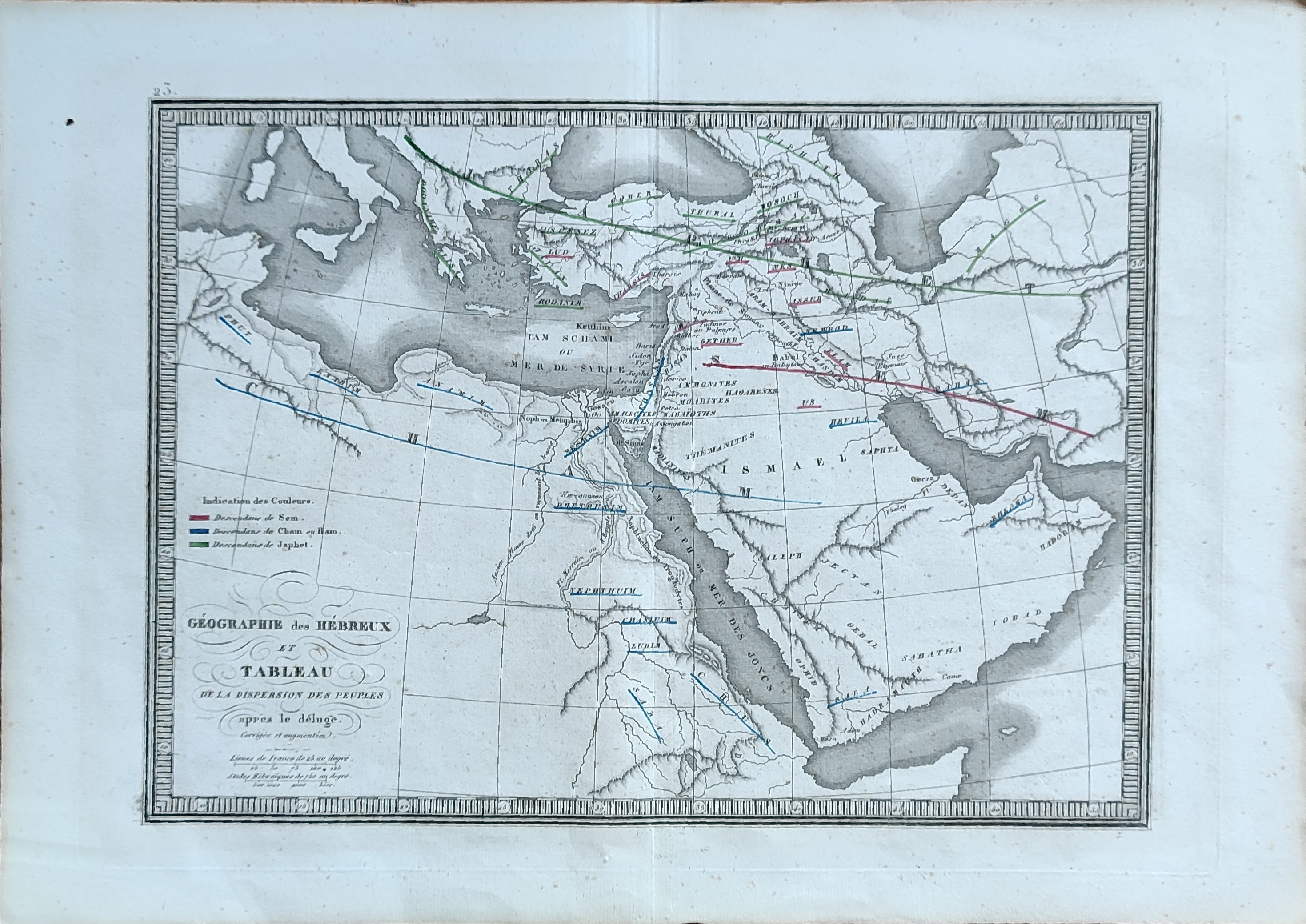
- Edition place
- Paris
- Editor
- Atlas
- Atlas Classique de la Geographie
- Price
- 50 Euro
- State
- [mint/EXCELLENT/very good/good/fair/mediocre/poor]
- Color
- Old colors
- Verso
- Blank
- Size
- Plate: cm (39 × 28) in (15.35 × 11.02) · Paper: cm (45 × 33) in (17.72 × 12.99)
- Technique
- Copper engraving
- Note
- Reference
- Wiki
- —
- In stock
- Available
- Code
- #1045
Tap the map to enlarge · scroll when zoomed · pinch to zoom on phone
- Edition place
- Paris
- Editor
- Atlas
- Atlas Classique de la Geographie
- Price
- 50 Euro
- State
- [mint/EXCELLENT/very good/good/fair/mediocre/poor]
- Color
- Old colors
- Verso
- Blank
- Size
- Plate: cm (39 × 28) in (15.35 × 11.02) · Paper: cm (45 × 33) in (17.72 × 12.99)
- Technique
- Copper engraving
- Note
- Reference
- Wiki
- —
- In stock
- Available
- Code
- #1047
Tap the map to enlarge · scroll when zoomed · pinch to zoom on phone
- Edition place
- Paris
- Editor
- Atlas
- Atlas Classique de la Geographie
- Price
- 50 Euro
- State
- [mint/EXCELLENT/very good/good/fair/mediocre/poor]
- Color
- Old colors
- Verso
- Blank
- Size
- Plate: cm (39 × 28) in (15.35 × 11.02) · Paper: cm (45 × 33) in (17.72 × 12.99)
- Technique
- Copper engraving
- Note
- Reference
- Wiki
- —
- In stock
- Available
- Code
- #1049
Tap the map to enlarge · scroll when zoomed · pinch to zoom on phone