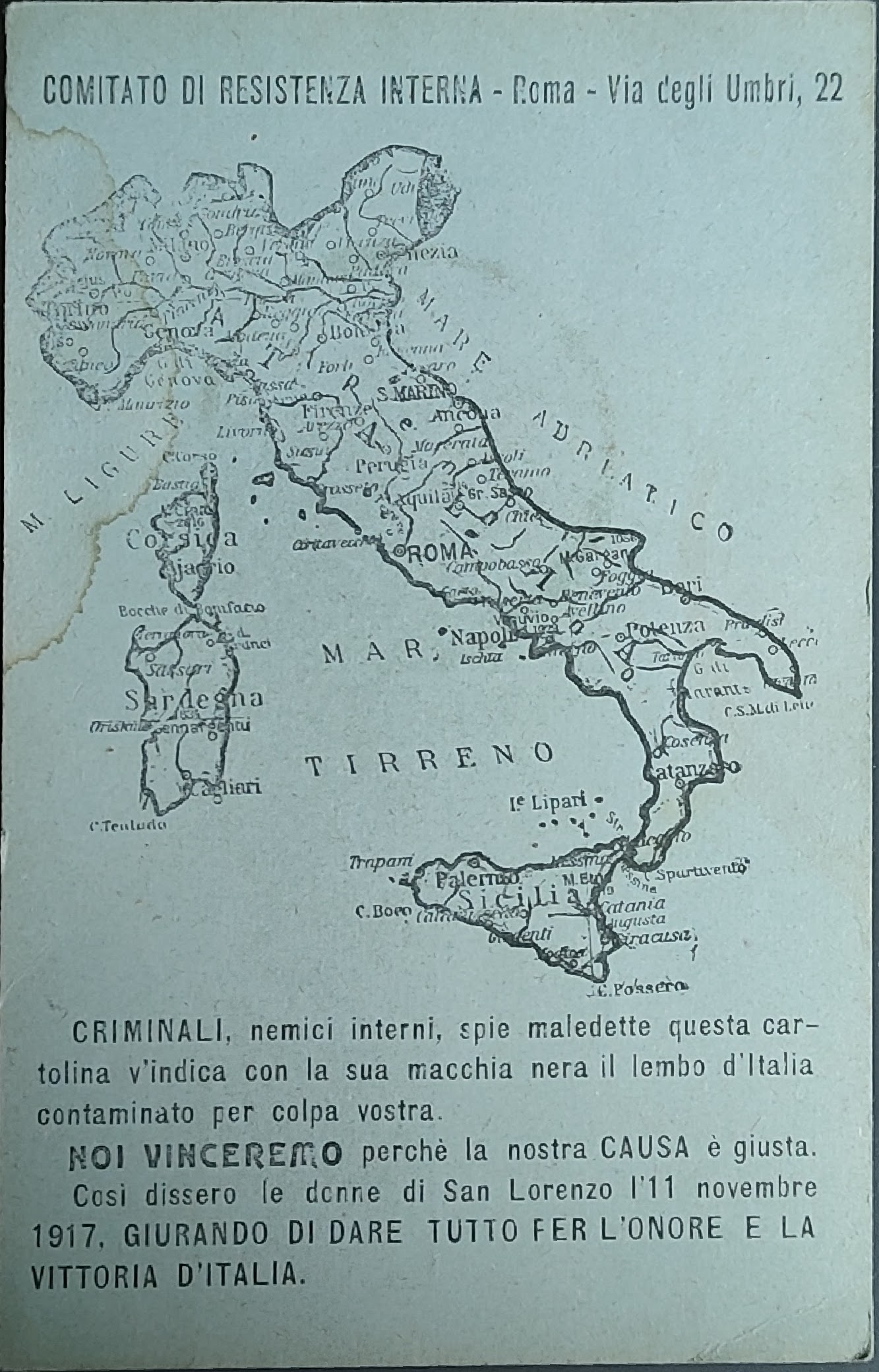
Comitato di resistenza interna
· Italy · 1917
- Edition place
- Rome
- Editor
- Atlas
- Price
- 50 Euro
- State
- [mint/EXCELLENT/very good/good/fair/mediocre/poor]
- Color
- Black/white
- Verso
- Blank
- Size
- Plate: cm (9 × 14) in (3.54 × 5.51) · Paper: cm (9 × 14) in (3.54 × 5.51)
- Technique
- Steel engraving
- Note
- Reference
- Wiki
- —
- In stock
- Available
- Code
- #1066
Tap the map to enlarge · scroll when zoomed · pinch to zoom on phone
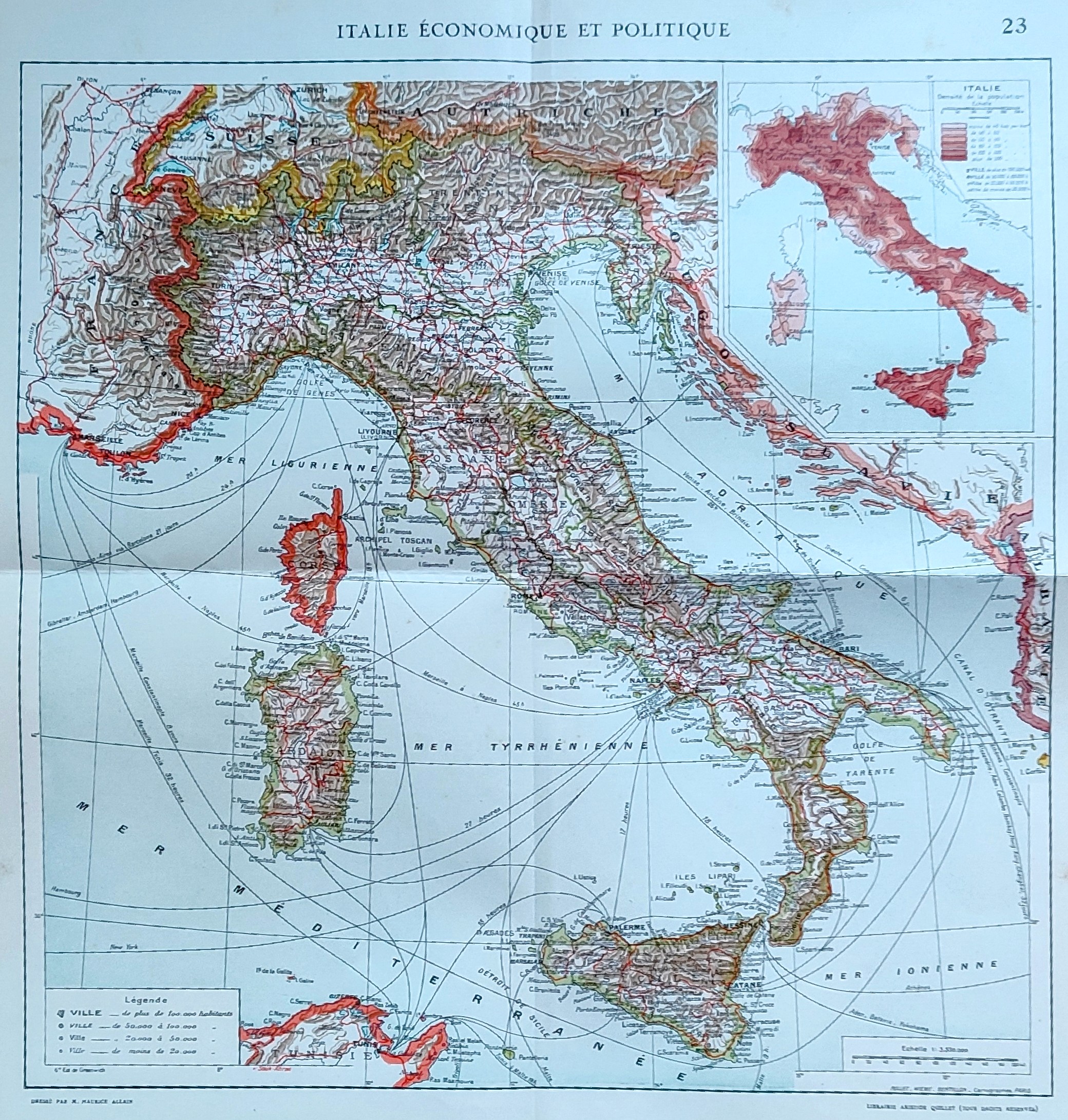
- Edition place
- Paris
- Editor
- Atlas
- Price
- 50 Euro
- State
- [mint/EXCELLENT/very good/good/fair/mediocre/poor]
- Color
- Old colors
- Verso
- Blank
- Size
- Plate: cm (38 × 37) in (14.96 × 14.57) · Paper: cm (42 × 43) in (16.54 × 16.93)
- Technique
- Steel engraving
- Note
- Reference
- Wiki
- —
- In stock
- Available
- Code
- #0929
Tap the map to enlarge · scroll when zoomed · pinch to zoom on phone
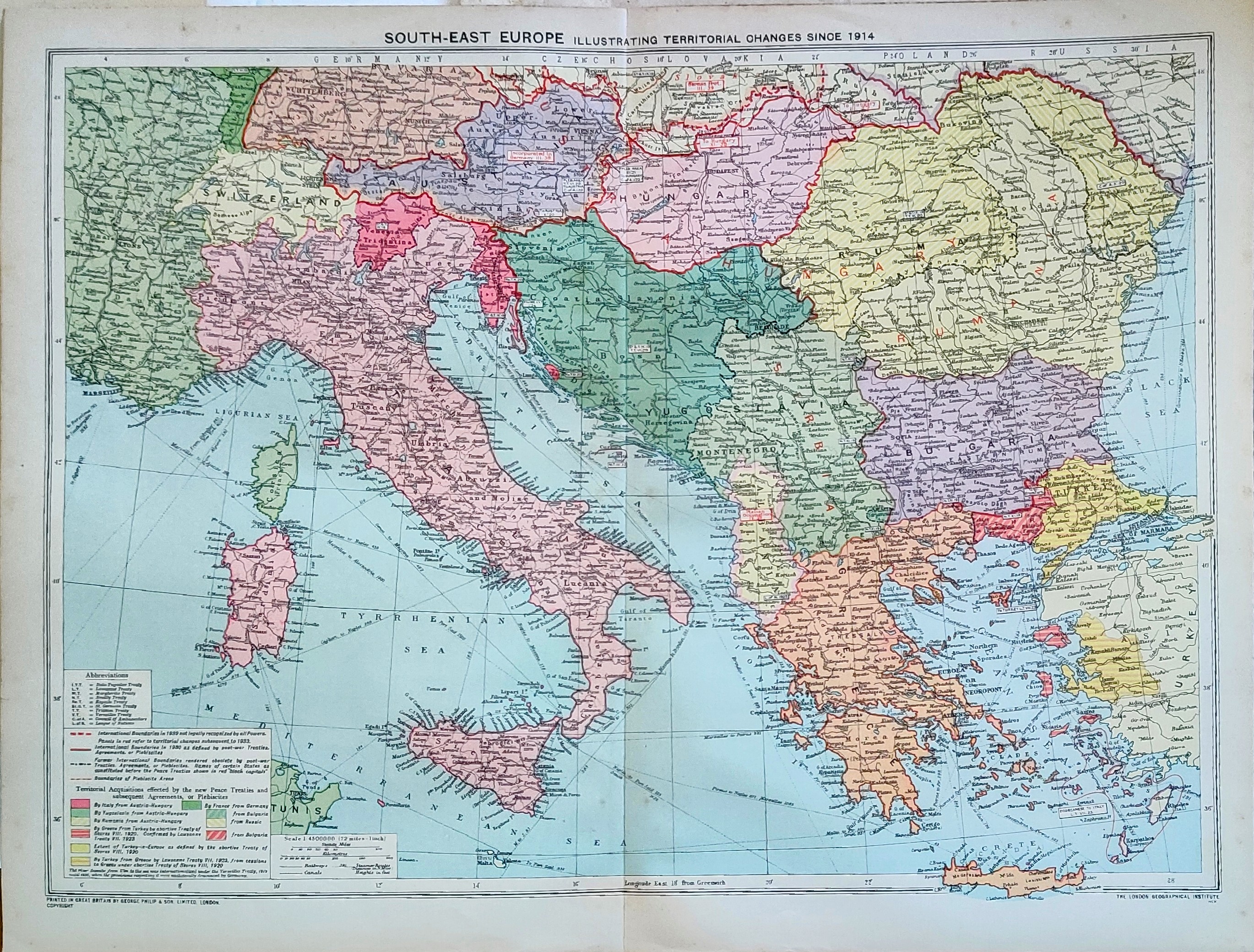
South Europa
· Italy · Circa 1939
- Edition place
- London
- Editor
- Atlas
- State
- [mint/EXCELLENT/very good/good/fair/mediocre/poor]
- Color
- Old colors
- Verso
- Blank
- Size
- Plate: cm (51 × 39) in (20.08 × 15.35) · Paper: cm (48 × 35) in (18.9 × 13.78)
- Technique
- Steel engraving
- Note
- Reference
- Wiki
- —
- In stock
- Available
- Code
- #0925
Tap the map to enlarge · scroll when zoomed · pinch to zoom on phone
Karte der Westfront
· Italy · 1940
- Edition place
- Lucerna
- Editor
- Union Usego
- Atlas
- Price
- 100 Euro
- State
- [mint/EXCELLENT/very good/good/fair/mediocre/poor]
- Color
- Old colors
- Verso
- Blank
- Size
- Plate: cm (45 × 57) in (17.72 × 22.44) · Paper: cm (47 × 60) in (18.5 × 23.62)
- Technique
- Steel engraving
- Note
- War map
- Reference
- Wiki
- —
- In stock
- Available
- Code
- #1163
Tap the map to enlarge · scroll when zoomed · pinch to zoom on phone
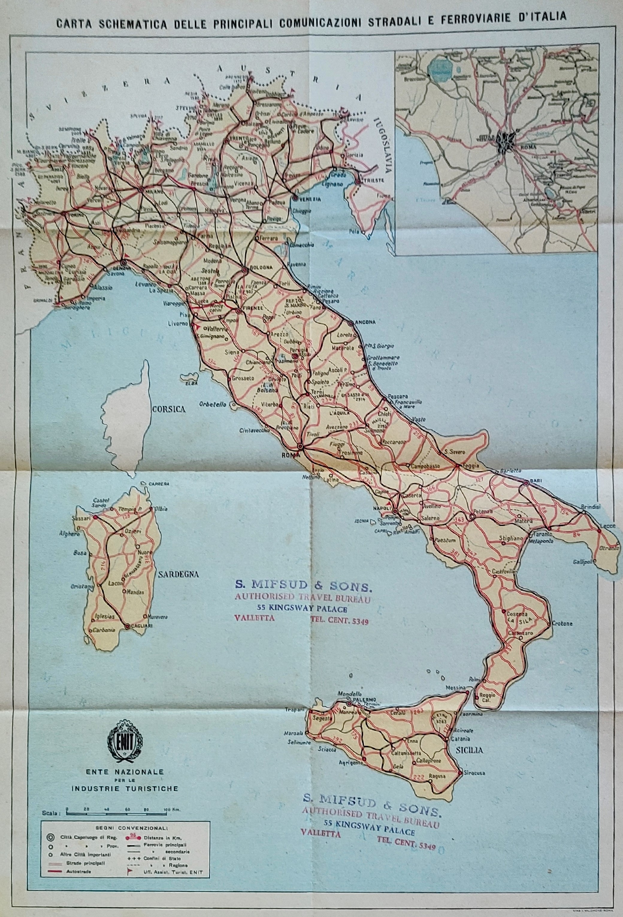
Carta schematica delle principali comunicazioni stradali e ferroviarie d'italia
· Italy · Circa 1950
- Edition place
- Rome
- Editor
- Atlas
- Price
- 75 Euro
- State
- [mint/EXCELLENT/very good/good/fair/mediocre/poor]
- Color
- Old colors
- Verso
- Blank
- Size
- Plate: cm (30 × 42) in (11.81 × 16.54) · Paper: cm (26 × 38) in (10.24 × 14.96)
- Technique
- Steel engraving
- Note
- Reference
- Wiki
- —
- In stock
- Available
- Code
- #0922
Tap the map to enlarge · scroll when zoomed · pinch to zoom on phone
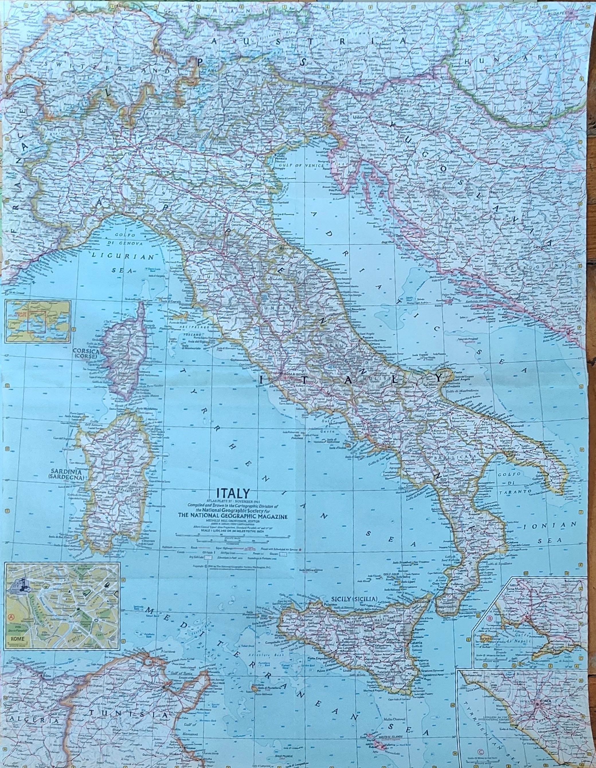
Italy
· Italy · Circa 1960
- Edition place
- Rome
- Editor
- Atlas
- State
- [mint/EXCELLENT/very good/good/fair/mediocre/poor]
- Color
- Old colors
- Verso
- Blank
- Size
- Plate: cm (63 × 48) in (24.8 × 18.9) · Paper: cm (63 × 48) in (24.8 × 18.9)
- Technique
- Steel engraving
- Note
- Reference
- Wiki
- —
- In stock
- Available
- Code
- #0924
Tap the map to enlarge · scroll when zoomed · pinch to zoom on phone
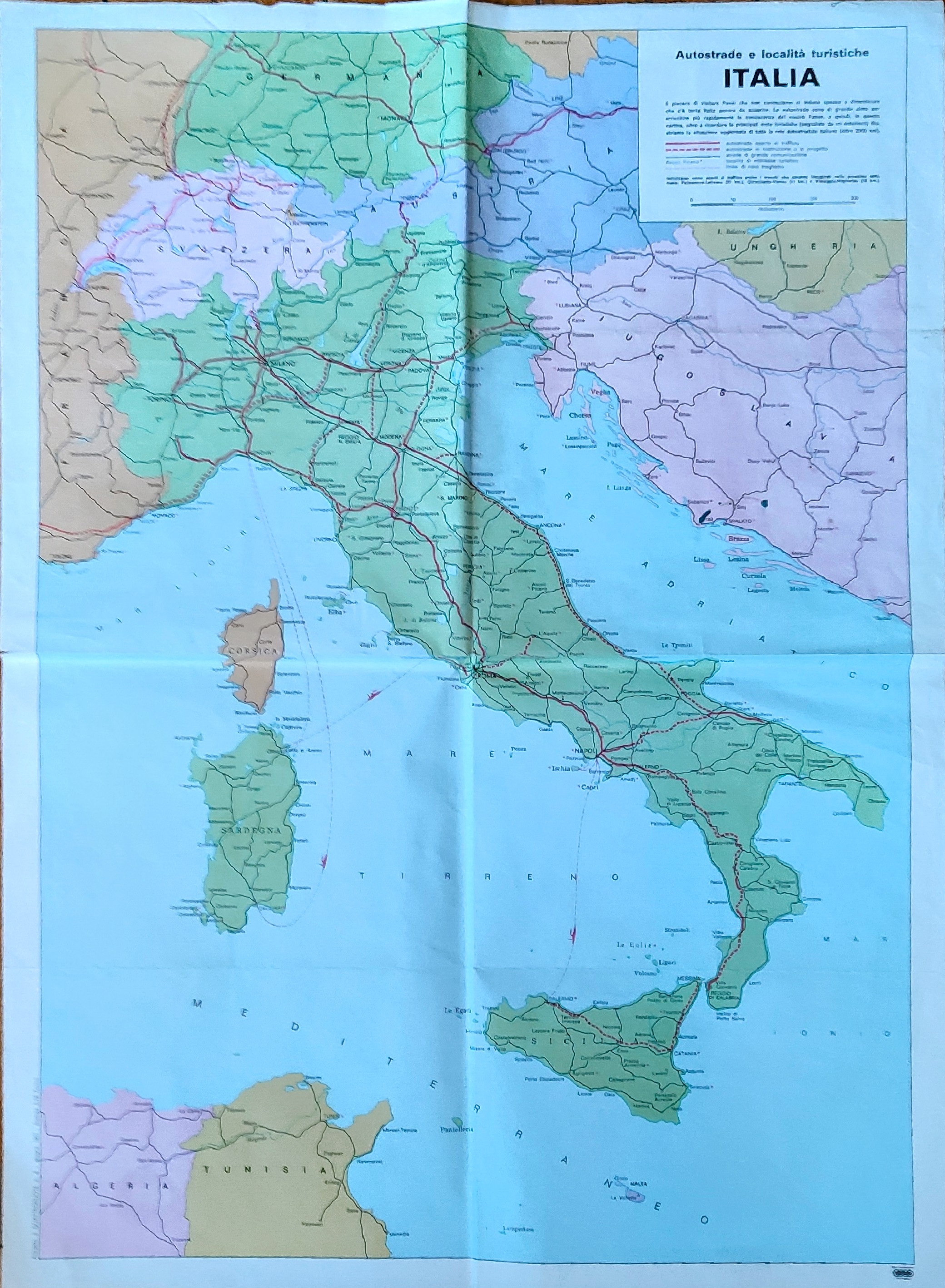
Autostrade e localita turistiche
· Italy · 1967
- Edition place
- Rome
- Editor
- Atlas
- State
- [mint/EXCELLENT/very good/good/fair/mediocre/poor]
- Color
- Old colors
- Verso
- Blank
- Size
- Plate: cm (68 × 50) in (26.77 × 19.69) · Paper: cm (45 × 46) in (17.72 × 18.11)
- Technique
- Steel engraving
- Note
- Reference
- Wiki
- —
- In stock
- Available
- Code
- #0923
Tap the map to enlarge · scroll when zoomed · pinch to zoom on phone